Slideshow · Travel
25 Most Dangerous Highway Stretches and Interstates in America
Federal transportation safety agencies monitor collision rates along America's vast highway system and winding mountain passes each year. From blind canyon curves and sudden blizzard whiteouts to congested multi-lane freight corridors, these notorious transit routes require intense vigilance from cross-country travelers.


All 25 Entries in this Story
25. Dalton Highway (Alaska)
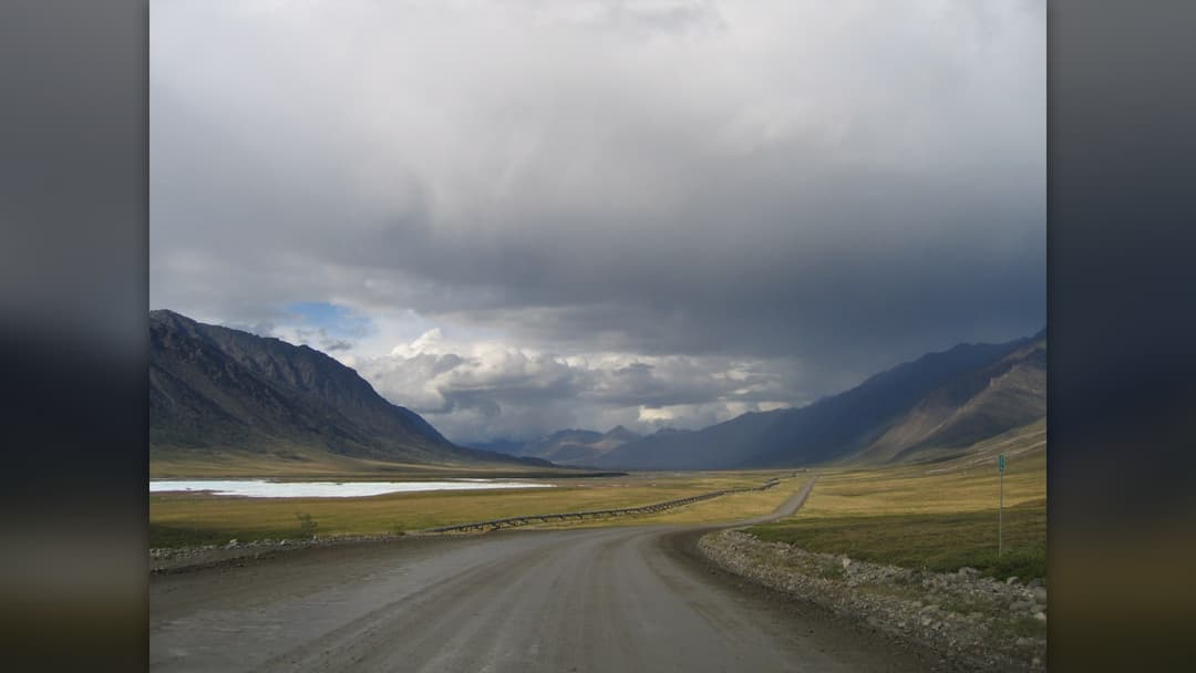
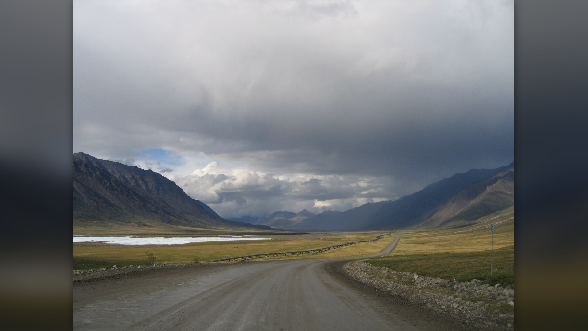
Running 414 miles from Fairbanks to the Prudhoe Bay oilfields, Alaska Route 11 is mostly unpaved gravel. Heavy industrial tractor-trailers kick up massive dust clouds during summer and face fifty-below blizzards in winter. There are only three fuel stops across the entire northern route.
24. Million Dollar Highway (Colorado)
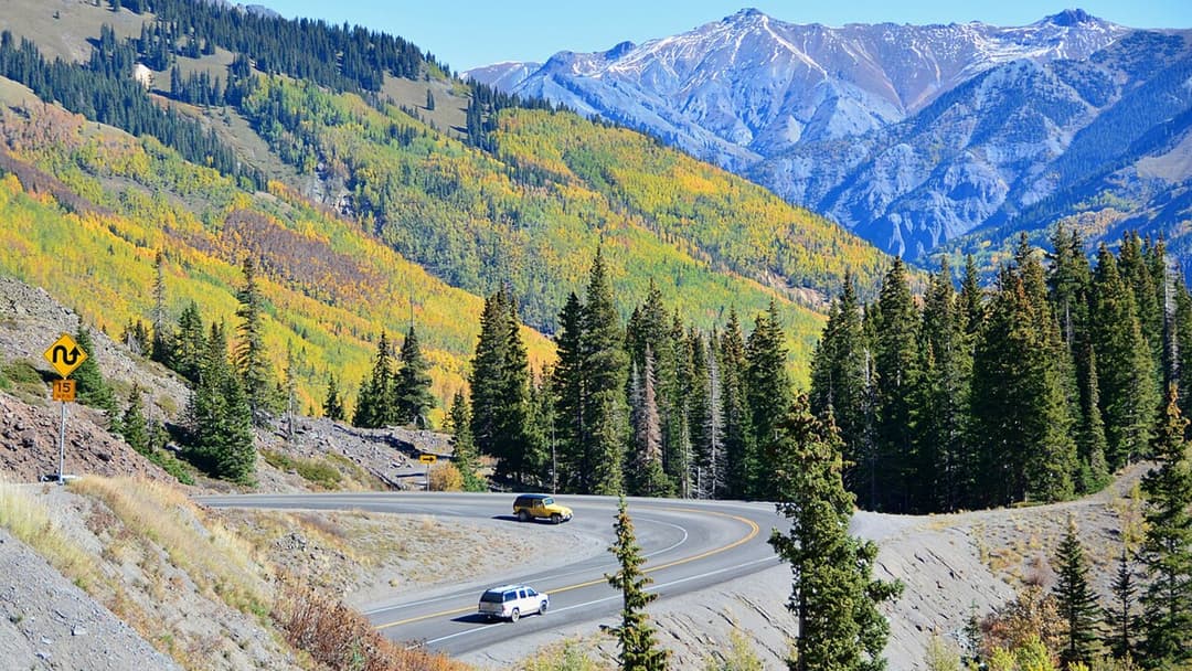
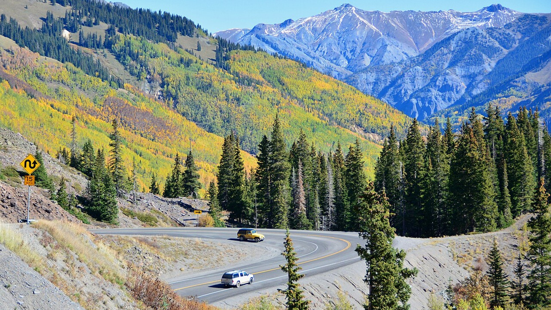
Connecting Ouray and Silverton across three high mountain passes, this twelve-mile stretch features sheer thousand-foot drop-offs. Road crews deliberately omit guardrails so winter snow plows can push heavy drifts over the canyon edges. Drivers must navigate narrow two-lane pavement without margin for error.
23. Tail Of The Dragon (North Carolina And Tennessee)
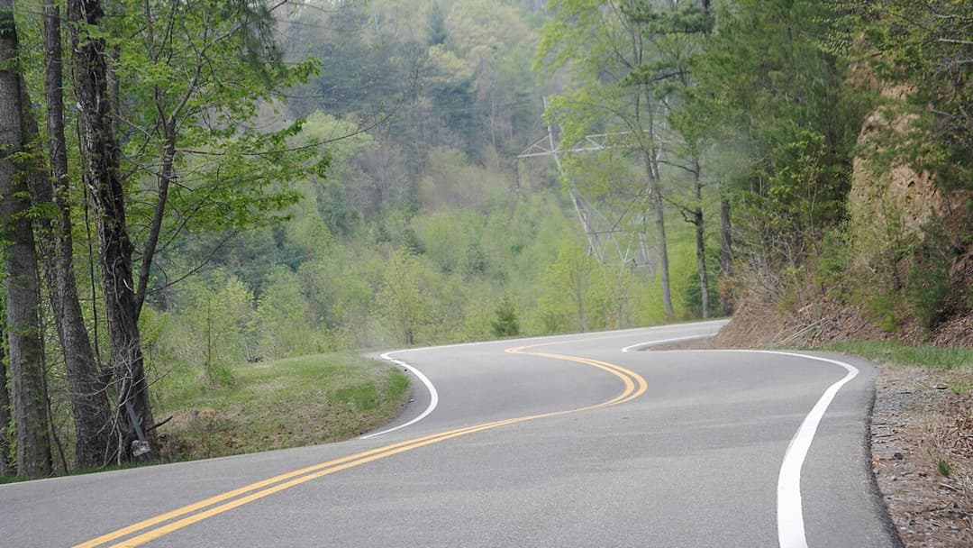
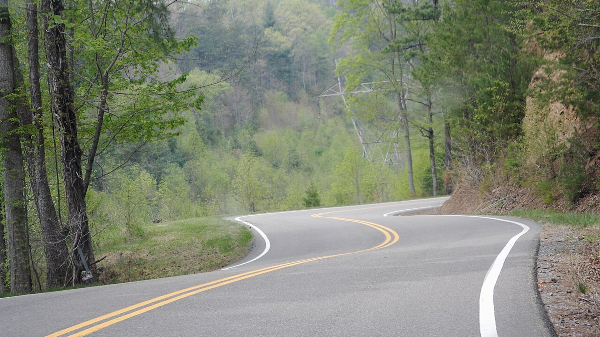
Bordering the Great Smoky Mountains along US 129, this twisty asphalt corridor features names like Gravity Cavity and Beginner's End. Dense forest canopies hide oncoming sports cars that regularly drift across the yellow center line. The local Tree of Shame holds wreckage from hundreds of past accidents.
22. Beartooth Highway (Montana And Wyoming)
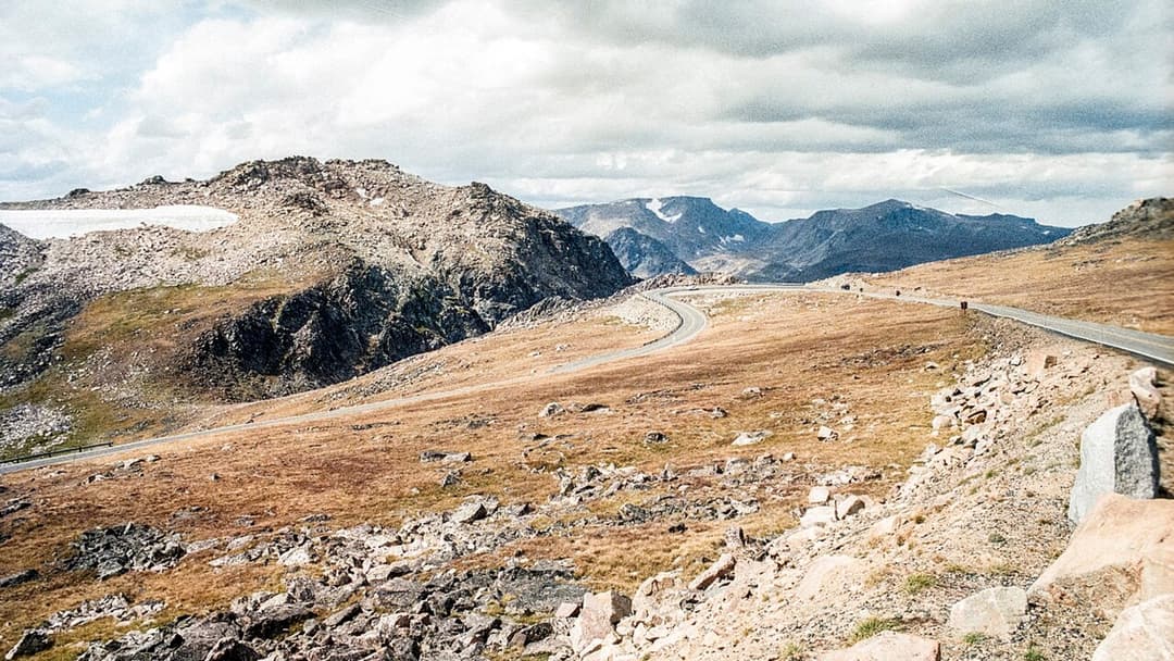
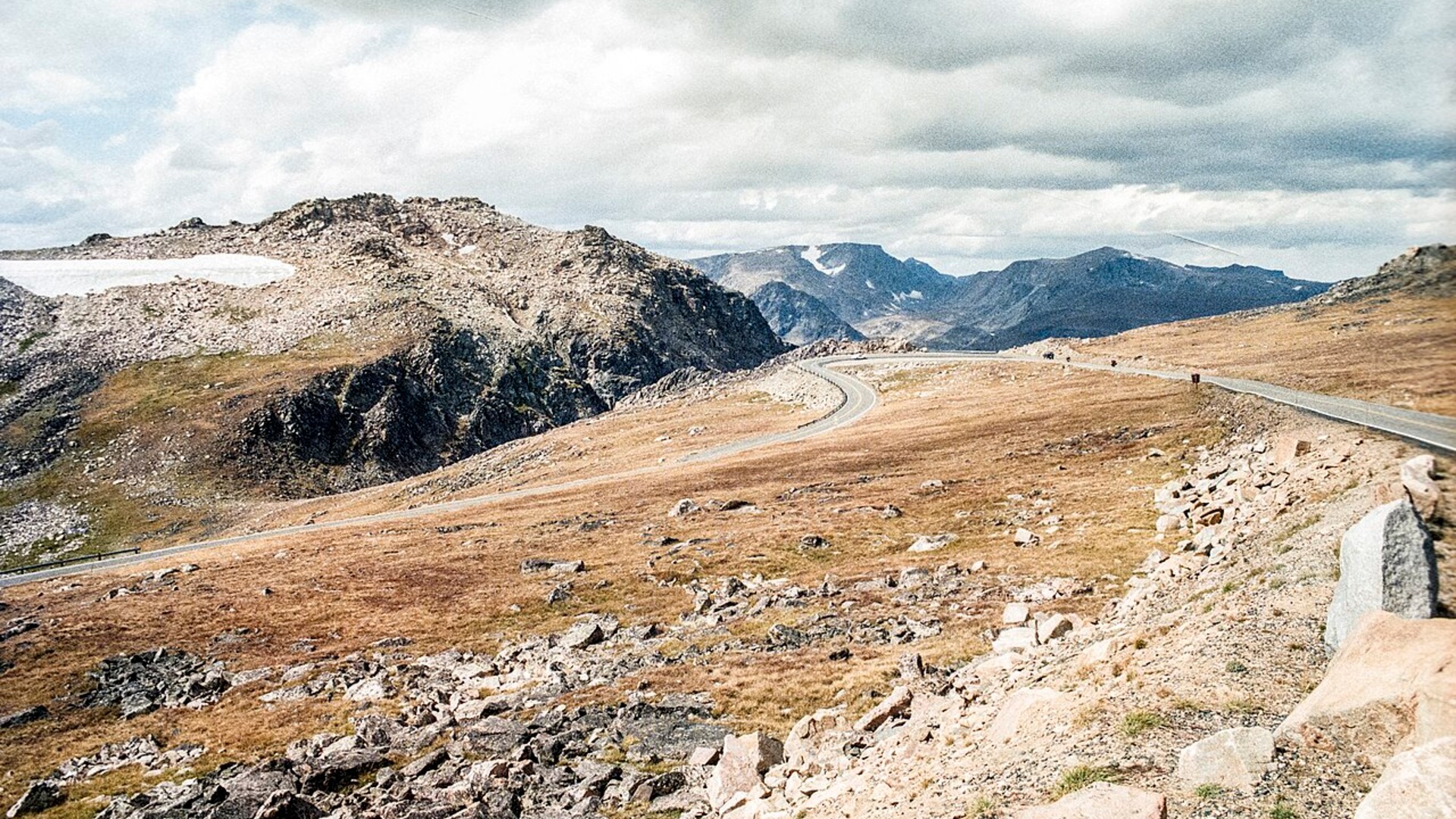
Heralded as one of America's most scenic drives, this route links Red Lodge to Yellowstone National Park. The road ascends through steep switchbacks where gale-force winds frequently batter RVs and campers. Rapid weather shifts often dump several feet of snow with zero advance warning.
21. Interstate 10 (Arizona And New Mexico)
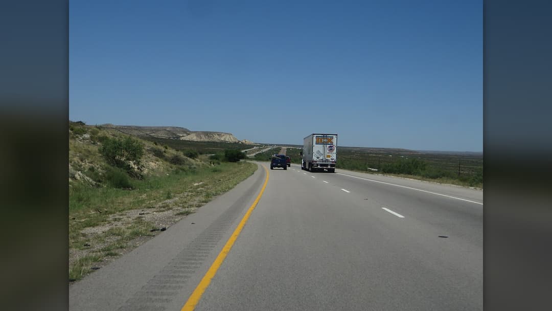
Stretching through the Sonoran Desert, I-10 tempts drivers with long straightaways and seventy-five-mile-per-hour limits. Monsoonal haboob winds kick up dense walls of blinding sand in seconds, causing sudden multi-vehicle pileups. State troopers frequently shut down lanes when dust sensors trigger.
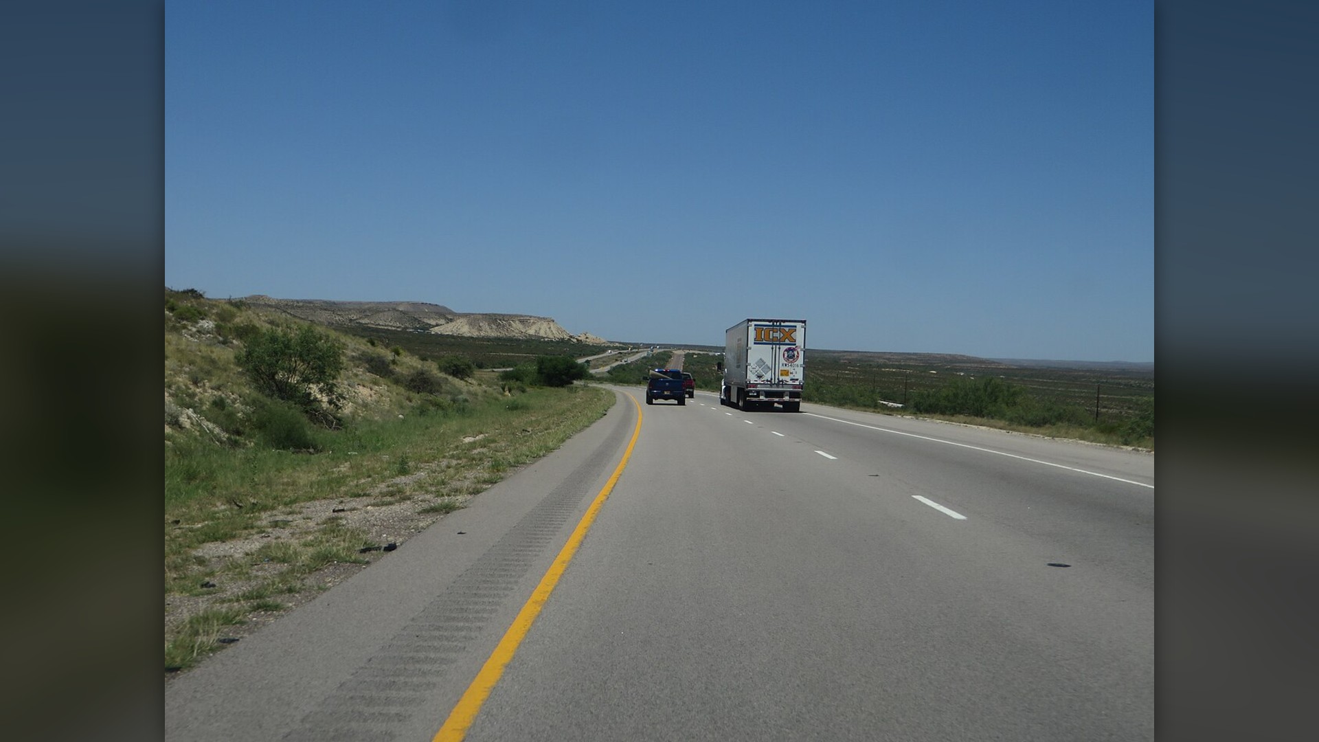
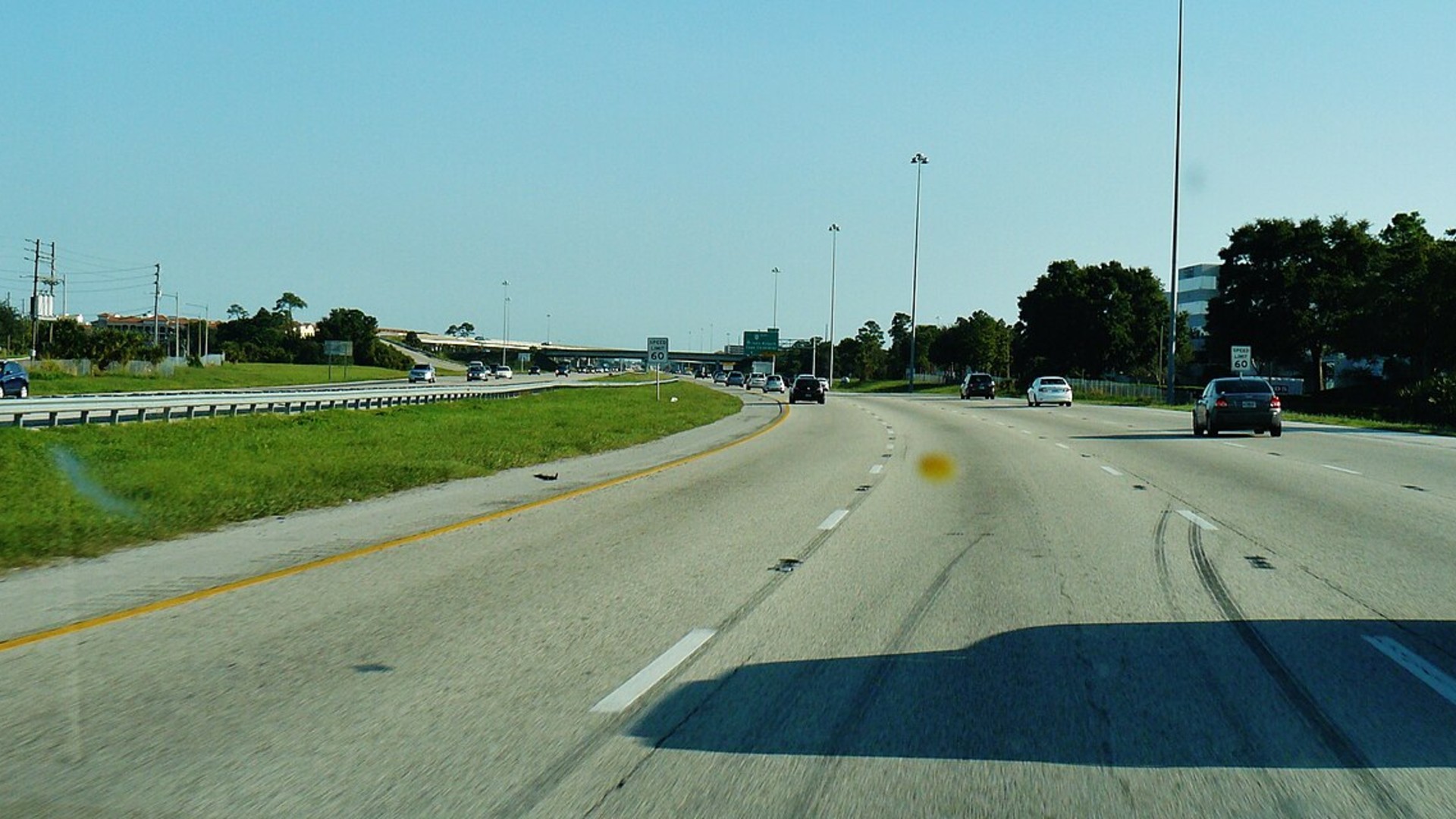
20. Interstate 4 (Florida)
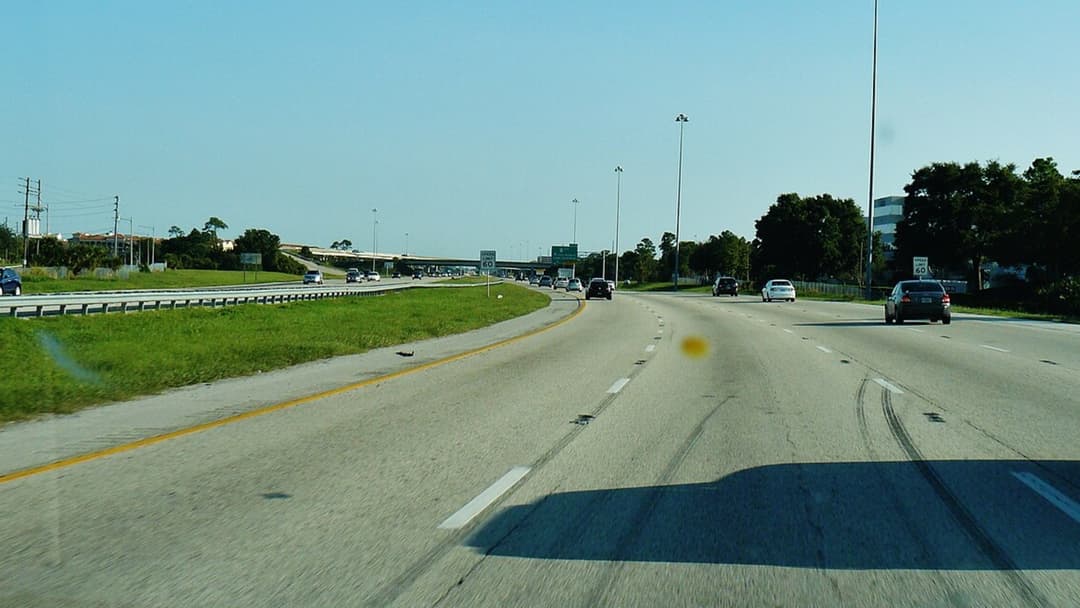
Connecting Florida's major tourist hubs, this busy freeway mixes hurried commuters with lost vacationers navigating rental cars. Frequent tropical thunderstorms trigger rapid hydroplaning across multi-lane interchanges. Federal highway data consistently ranks it among the deadliest interstates per mile.
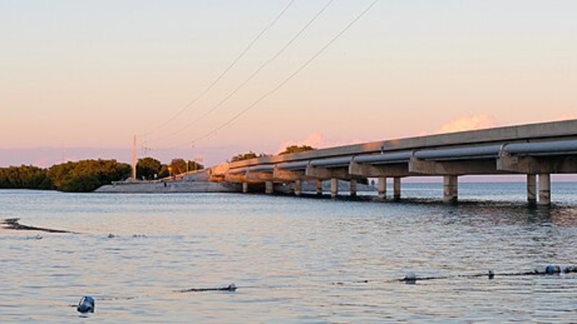
19. Overseas Highway (Florida Keys)
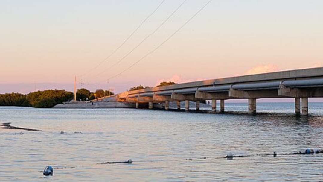
Carrying visitors across forty-two ocean bridges from Key Largo to Key West, this narrow highway is notoriously unforgiving. Passing opportunities are rare, leading impatient drivers into high-risk head-on passing maneuvers. An accident on a single bridge can halt island traffic for hours.
18. Pikes Peak Highway (Colorado)
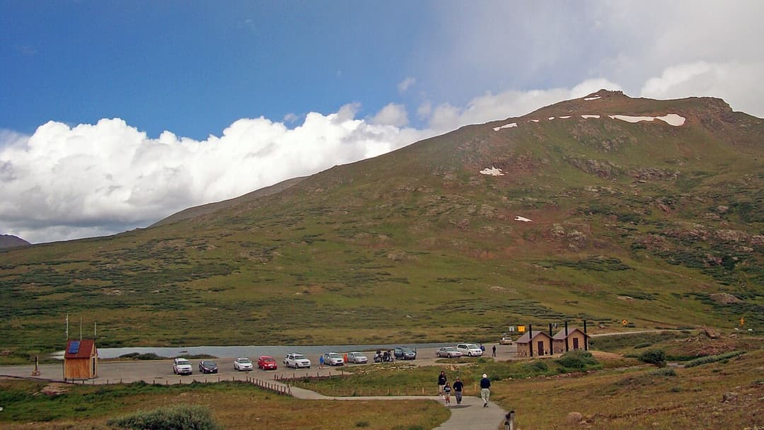
Drivers must navigate 156 sharp turns without guardrails as they ascend toward the Colorado summit. Park rangers operate mandatory mid-mountain brake check stations to ensure downhill motorists don't overheat their pads. Thin atmospheric oxygen also impairs driver reflexes.

17. Interstate 15 (California To Nevada)
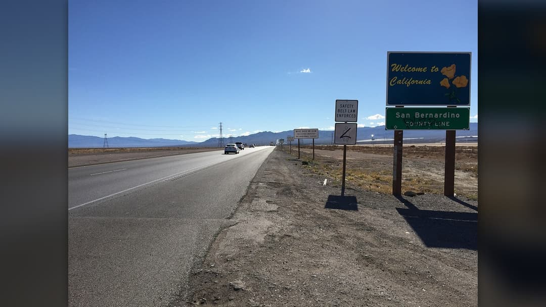
Linking Los Angeles to Las Vegas across the Mojave Desert, I-15 experiences intense Friday afternoon congestion and reckless speeding. Extreme summer temperatures top 115 degrees, blowing out worn tires and stalling overloaded engines. Impatient motorists often trigger severe rollover wrecks.
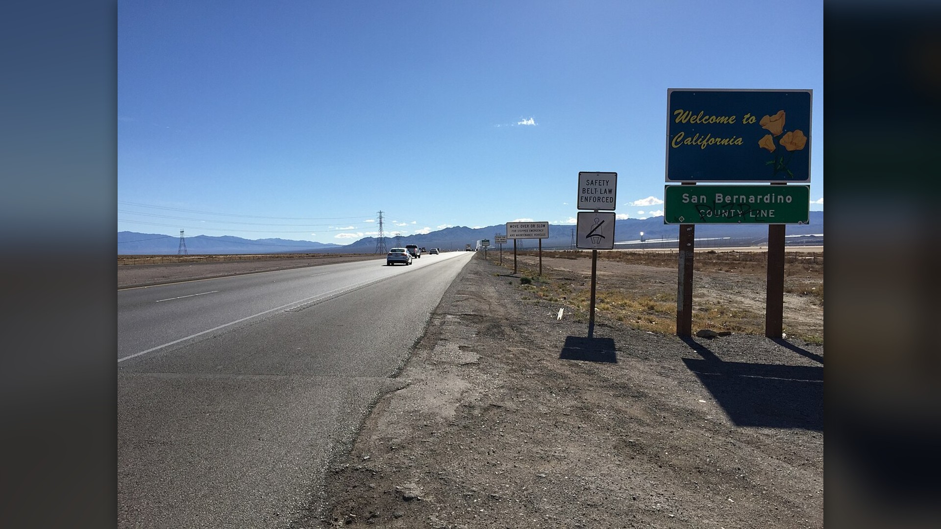
16. US Route 285 (Texas And New Mexico)
Running between Pecos and Carlsbad, Route 285 was never engineered for thousands of eighty-thousand-pound sand and water haulers. Narrow shoulders, crumbling pavement edges, and fatigued drivers working long drilling shifts caused accident rates to spike. State agencies recently widened sections.
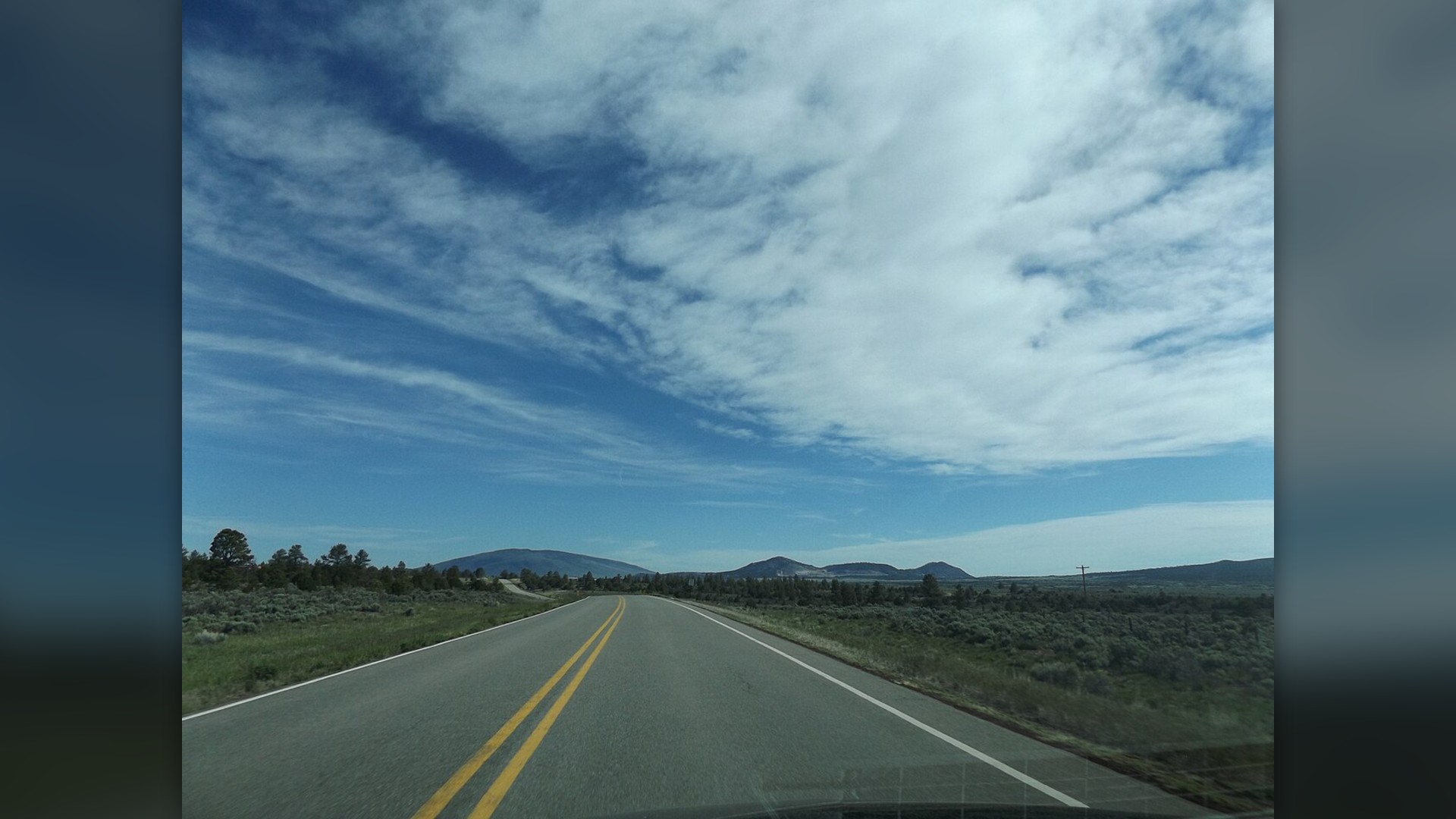
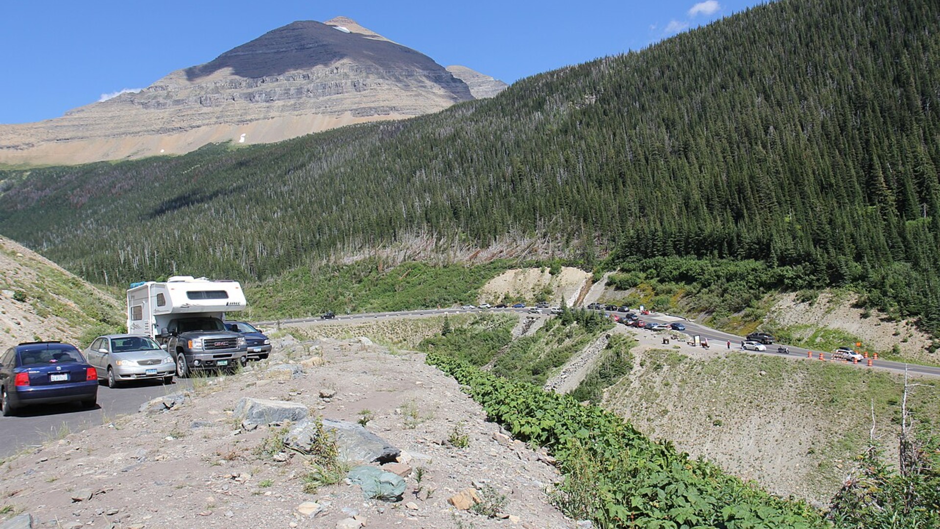
15. Going To The-Sun Road (Montana)
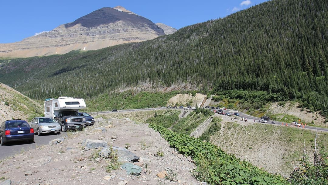
Completed in 1932, this narrow two-lane engineering marvel spans Logan Pass along the Continental Divide. Drivers maneuver around rock walls and waterfalls while inches from stone retaining barriers. Strict vehicle length limits are enforced to prevent large trucks from wedging against cliff faces.
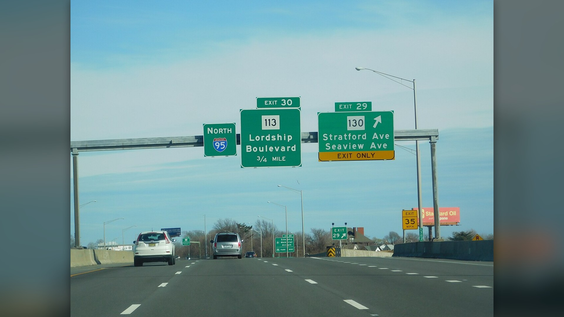
14. Interstate 95 (Connecticut Corridor)
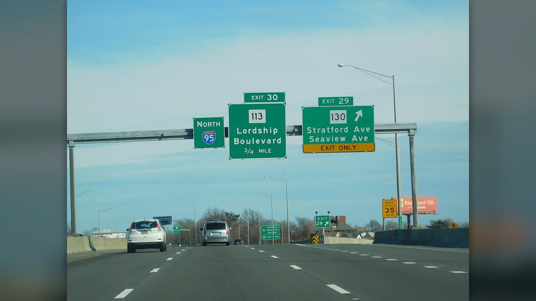
The southwestern Connecticut stretch of I-95 squeezes enormous commuter volumes between New York City and New England. Short merge ramps and curving overpasses give merging tractor-trailers little room to maneuver safely. Sudden rush-hour slowdowns routinely trigger multi-vehicle chain collisions.
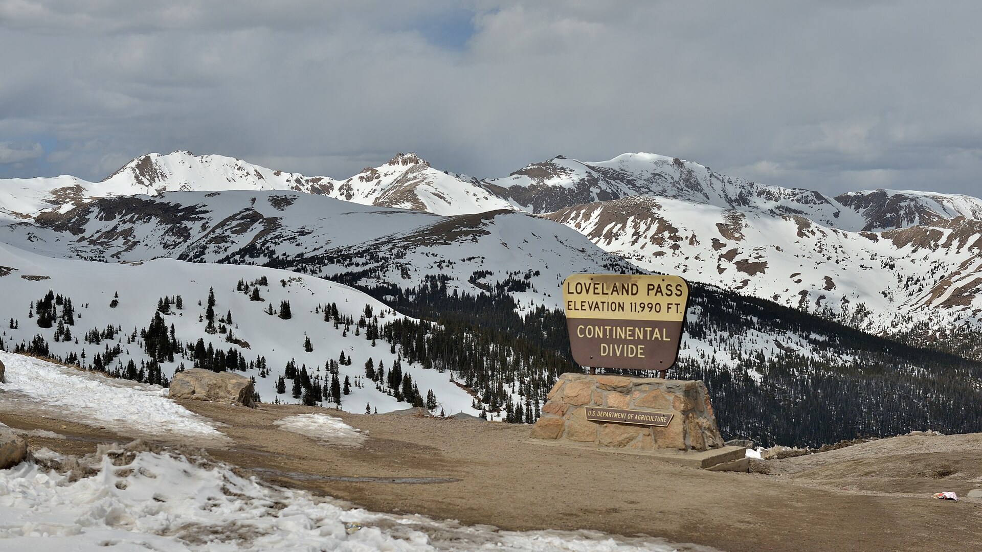
13. Loveland Pass (Colorado)
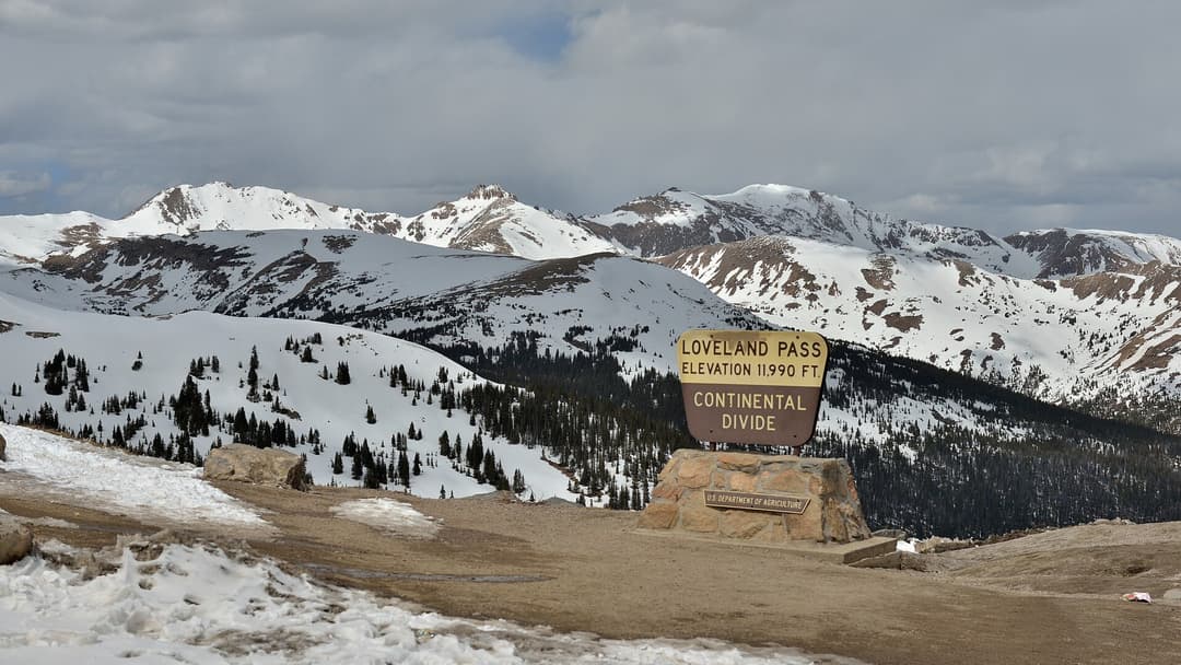
Because fuel tankers are barred from using the Eisenhower Tunnel, they must climb Loveland Pass in all weather conditions. The roadway twists across exposed ridges where howling winds whip snow into impenetrable ground blizzards. Chain laws are strictly enforced throughout winter.
12. Independence Pass (Colorado)
Reaching 12,095 feet near Aspen, this high-alpine crossing features blind rock overhangs where two vehicles cannot pass simultaneously. One driver must back up onto gravel cutouts to let oncoming traffic squeeze through. The route remains completely closed between November and late May.
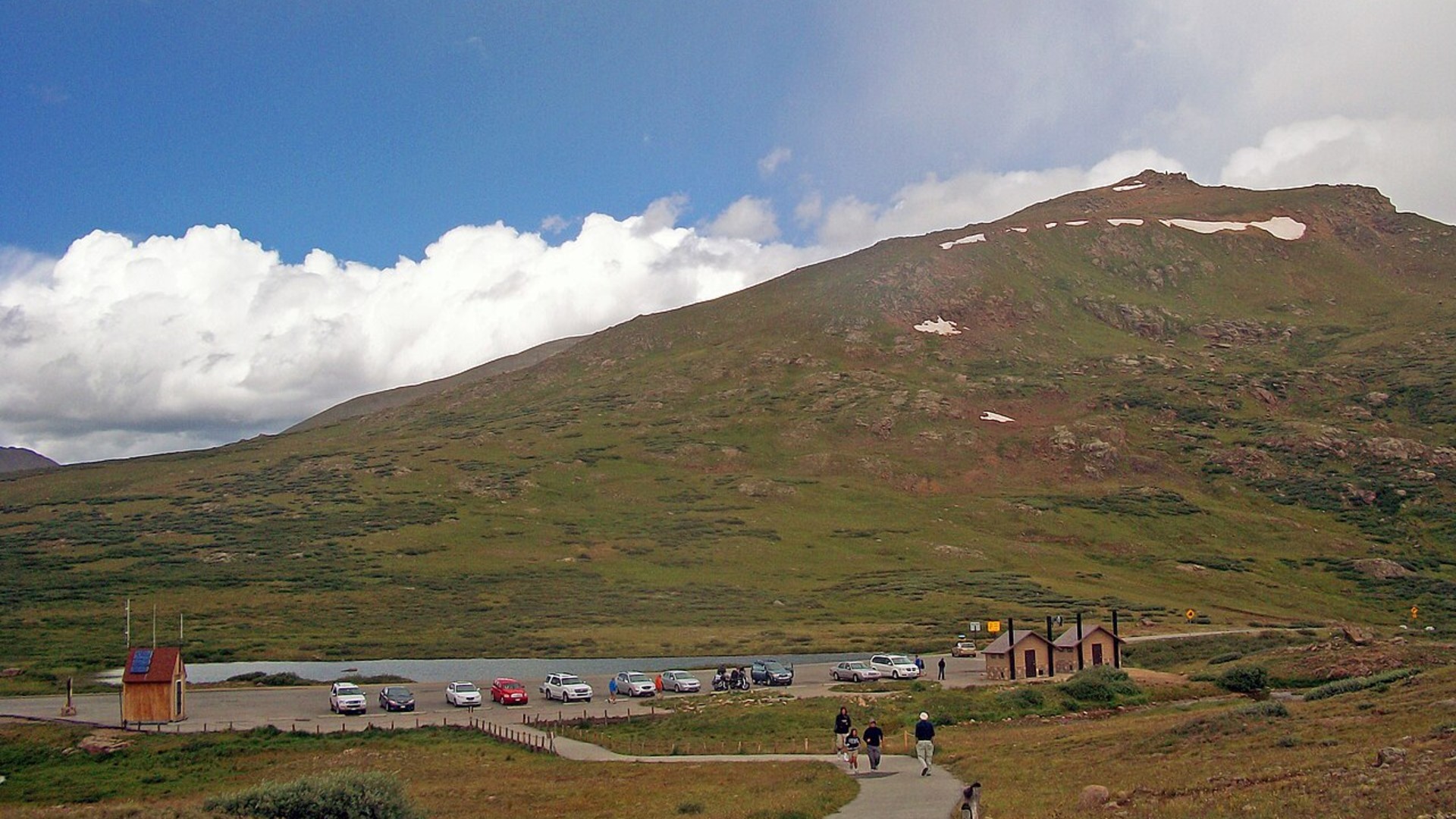
11. Interstate 80 (Wyoming Wind Corridor)
Crossing the high plains between Cheyenne and Rawlins, I-80 acts as a natural wind funnel across the Continental Divide. Gusts exceeding sixty miles per hour routinely flip unloaded semi-trucks onto icy shoulders. Electronic gates shut the interstate dozens of times each winter season.
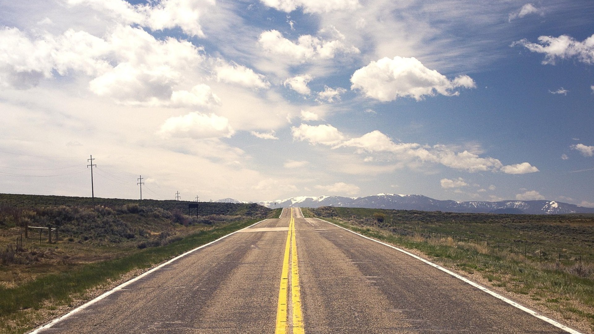
10. Pearblossom Highway (California)
Connecting Palmdale to Interstate 15, this desert bypass carried heavy commuter traffic trying to dodge Los Angeles freeways. Impatient motorists made blind high-speed passes across undivided two-lane asphalt. Extensive barrier construction has lowered fatalities, but hazards remain.
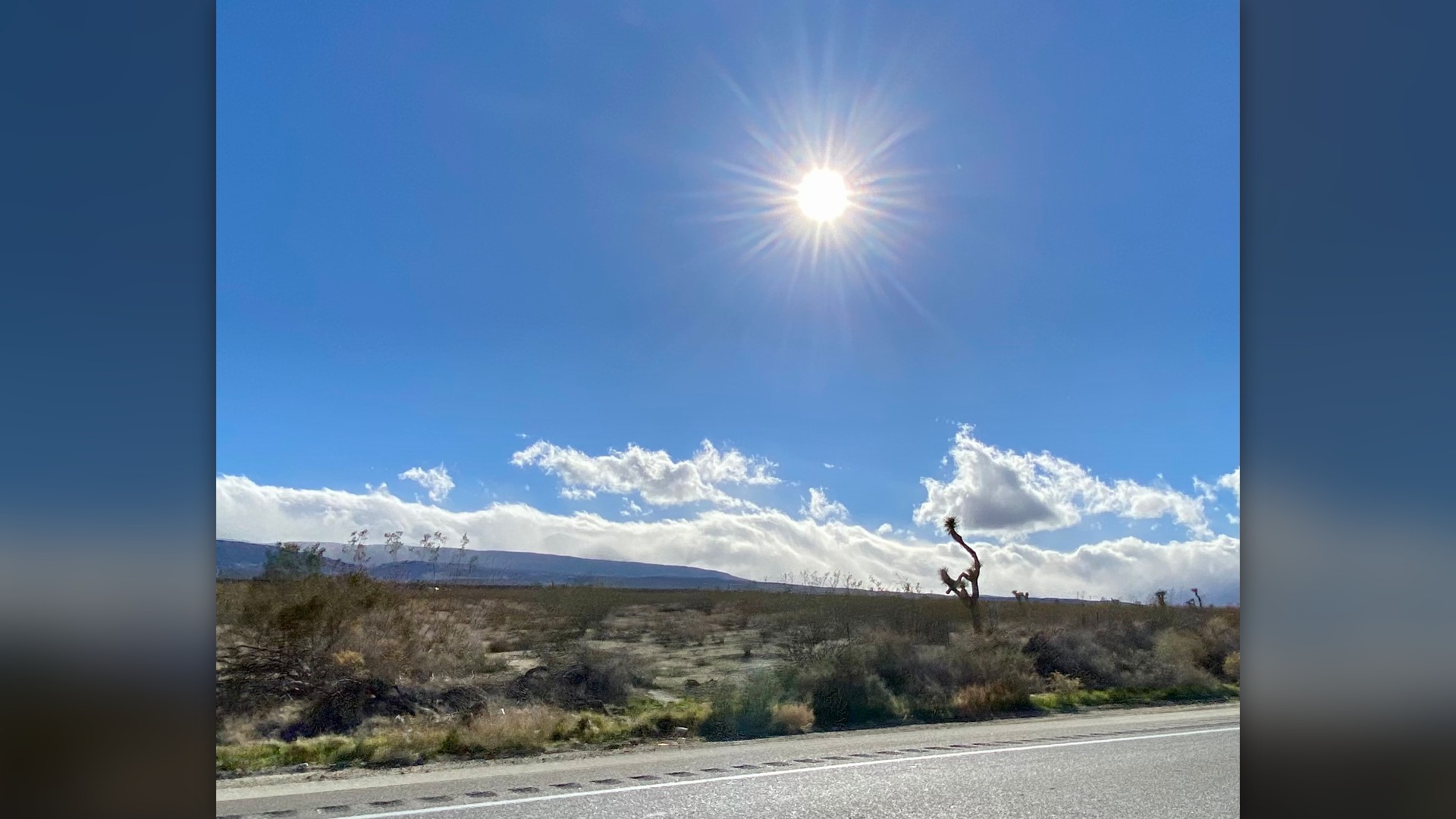
9. Mount Washington Auto Road (New Hampshire)
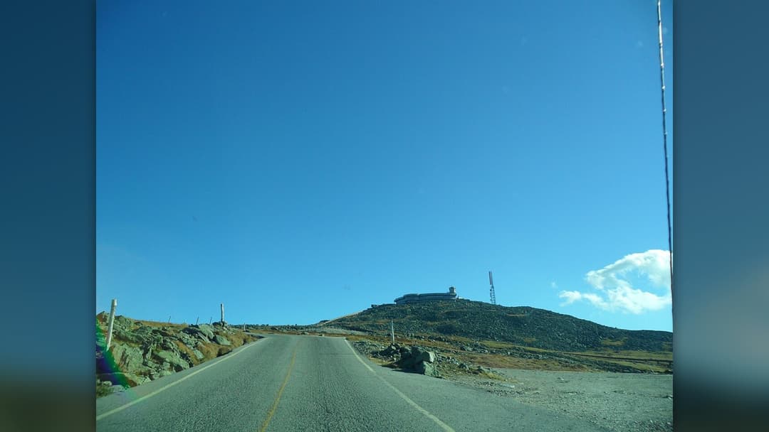
First opened in 1861, this steep private road climbs nearly five thousand vertical feet over seven miles. The upper sections lack guardrails while ascending through unpredictable fog and sub-zero squalls. Drivers receive bumper stickers honoring their vehicles for surviving the rigorous climb.
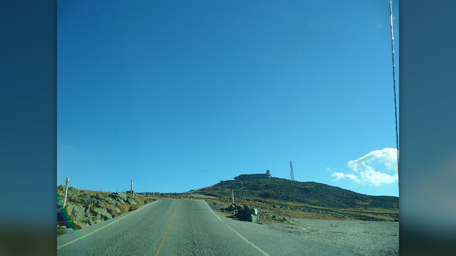
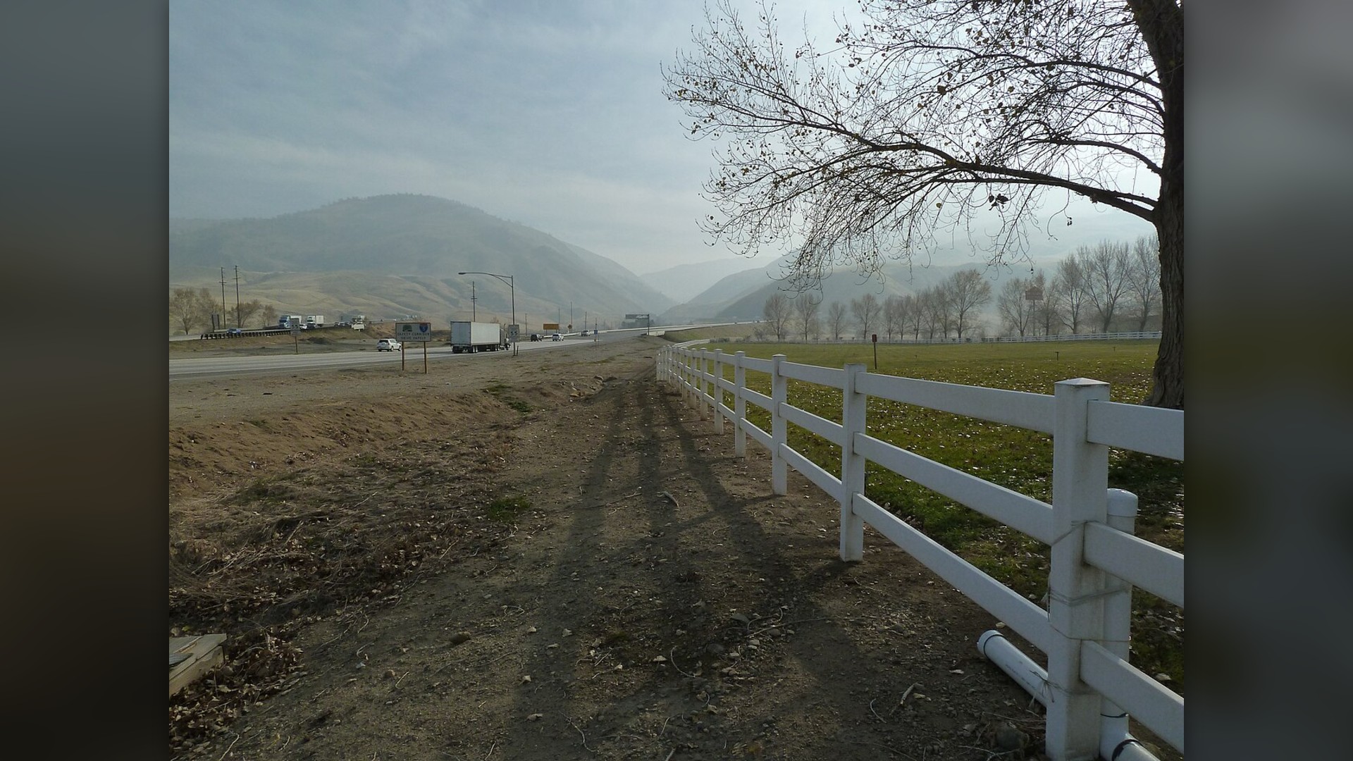
8. Tejon Pass Grapevine (California)
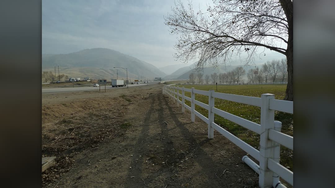
Interstate 5 climbs over 4,100 feet through Tejon Pass to connect Los Angeles with the Central Valley. Runaway truck ramps line the steep five-mile descent where overheated brakes catch fire. Winter snowstorms and winter tule fog regularly force the California Highway Patrol to escort convoys.
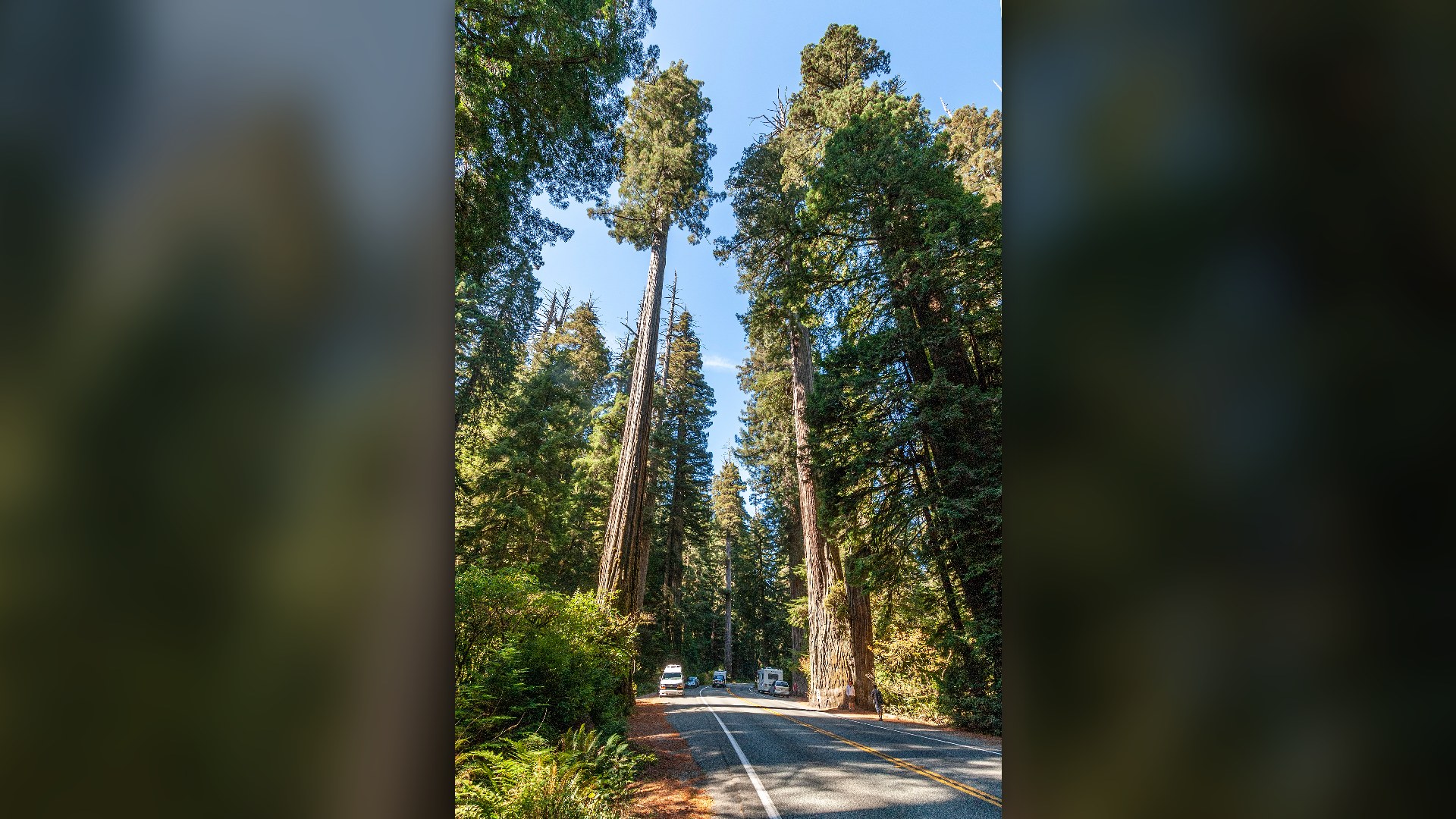
7. Redwood Highway (California And Oregon)
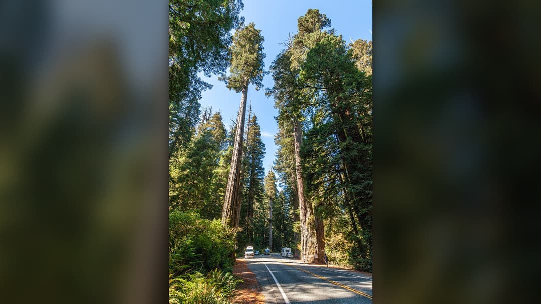
Winding alongside the Smith River, this corridor cuts through dense ancient redwood forests into southern Oregon. Massive winter rainstorms trigger mudslides that wash boulders directly into traffic lanes. Narrow shoulders and deep river canyons leave motorists no escape routes during sudden slides.
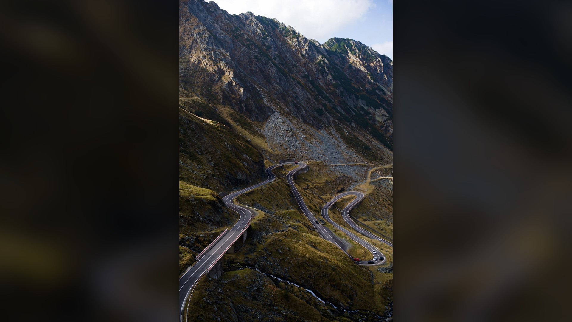
6. Vail Pass And Floyd Hill (Colorado)
Serving millions of skiers traveling from Denver to mountain resorts, I-70 climbs over ten thousand feet at Vail Pass. Inexperienced winter drivers traveling at freeway speeds lose traction during sudden whiteouts. A single spun-out truck can trap thousands of motorists on freezing highway grades.
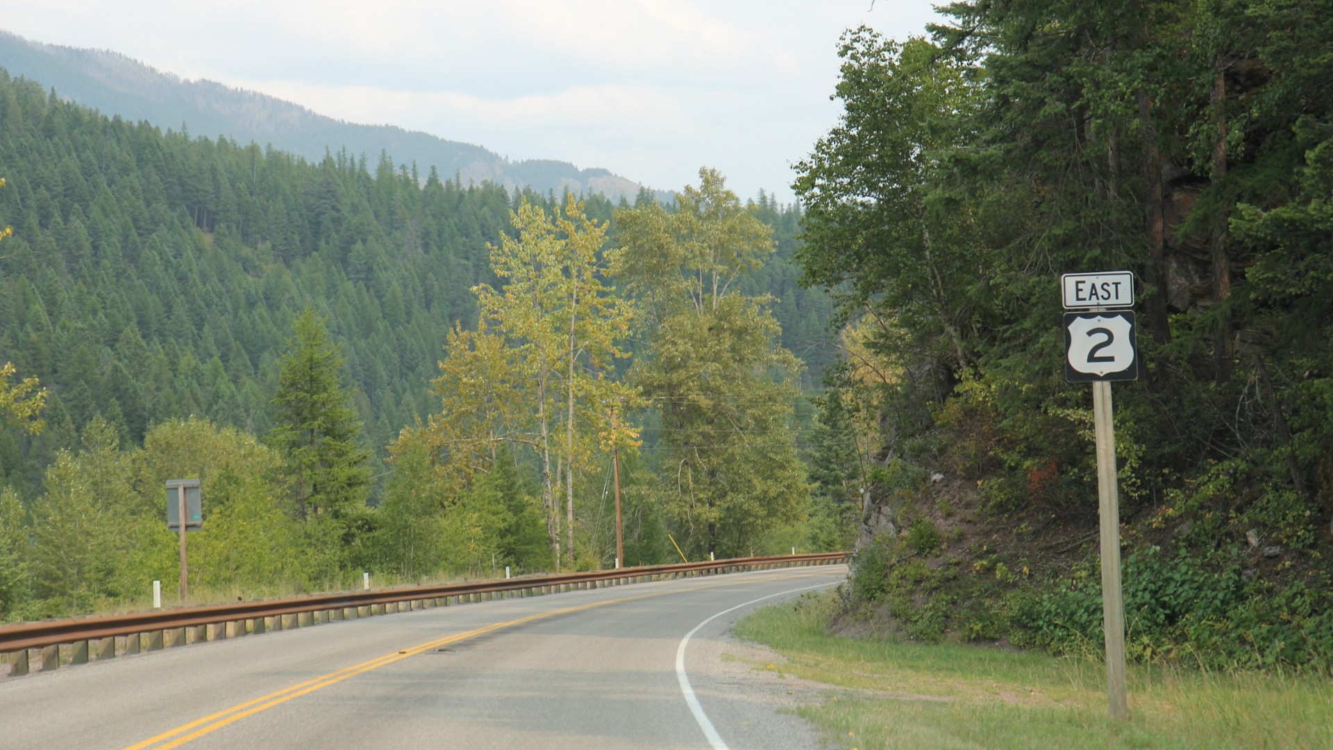
5. Montana Hi-Line (US Route 2)
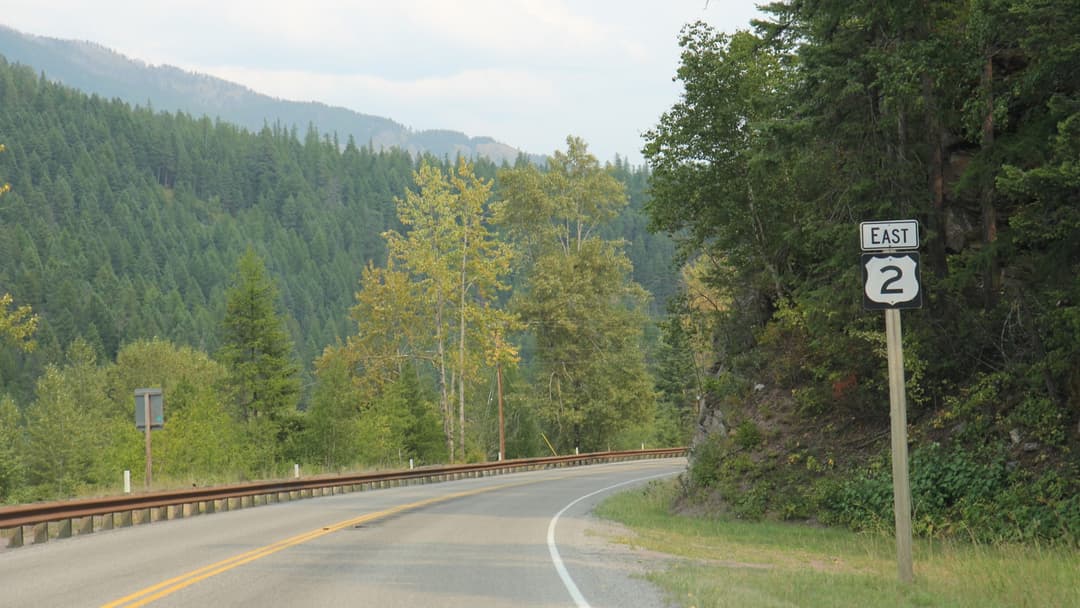
Stretching across Montana's northern border, Route 2 covers vast rural distances between isolated prairie towns. Winter blizzards bring sixty-below windchills that can turn a simple vehicle breakdown into a survival ordeal. Cell service remains spotty across hundreds of desolate miles.
4. Interstate 45 (Texas)
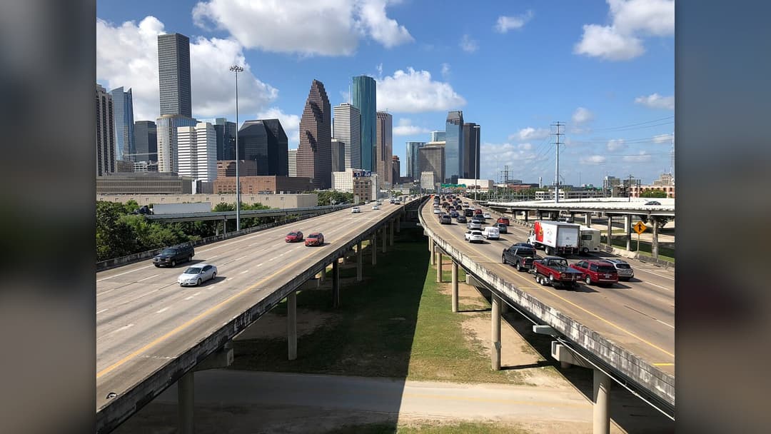
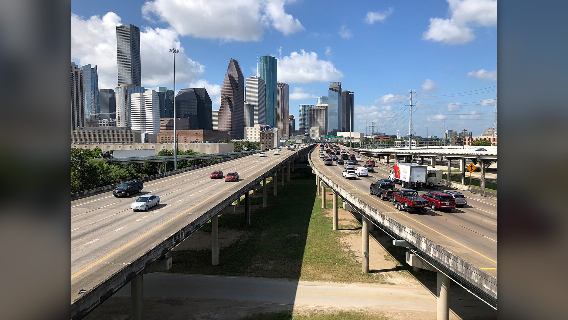
Connecting Dallas and Houston, I-45 experiences continuous heavy commercial trucking alongside fast-moving commuter lanes. National highway safety studies regularly find high rates of alcohol-involved collisions and fatal speeding accidents along its urban segments. Multiple freeway rebuilds remain ongoing.
3. Pacific Coast Highway (California)
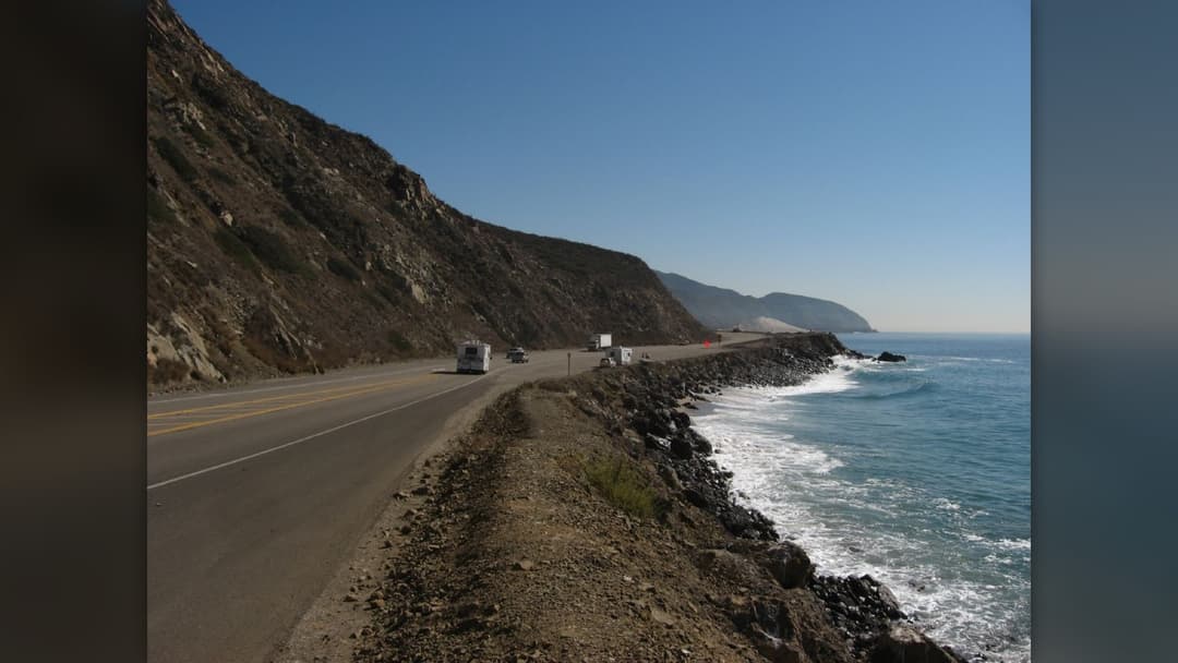
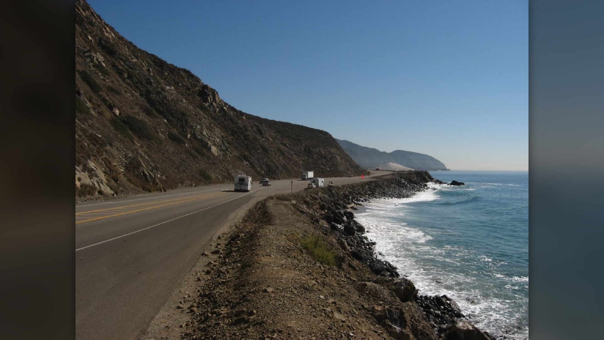
Carved into the rugged Santa Lucia Mountains, Big Sur's coastal highway is globally admired for breathtaking views. However, winter storms trigger massive geological landslips that bury hundred-foot sections under tons of rubble. Guardrails protect against sheer drops straight into the crashing Pacific.
2. Atlanta Perimeter (Interstate 285, Georgia)
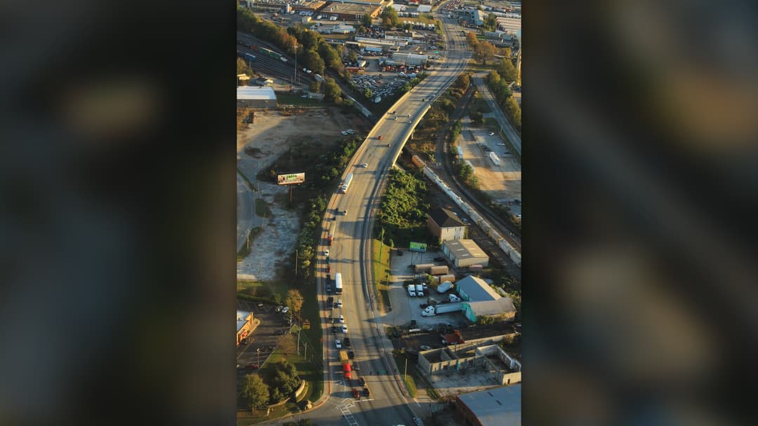
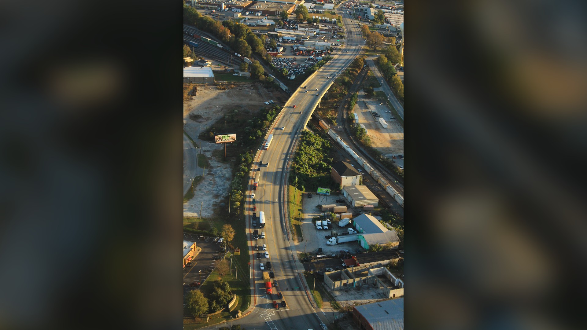
I-285 carries immense freight traffic routing around downtown Atlanta alongside hundreds of thousands of commuters. Tight multi-lane merges, steep speed differentials, and tractor-trailers maneuvering between lanes produce frequent jackknife wrecks. It remains one of America's deadliest beltways.
1. Lolo Pass (Idaho And Montana)
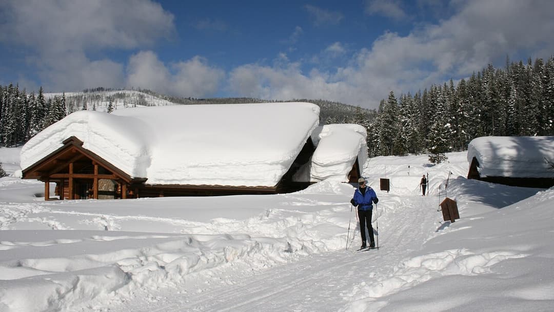
Following the historical path of Lewis and Clark through the Bitterroot Mountains, US Route 12 curves endlessly along the Lochsa River. Roadside warning signs advise motorists that winding curves persist for the next ninety-nine miles.