Slideshow · Viral
20 American Cities Facing the Biggest Climate and Natural Disaster Risks
By Most Viral Today
58 min ago

Major Urban Centers Confronting Escalating Environmental Threats 
20. Seattle 
19. Sacramento 
18. San Jose - AdvertisementSwipe or tap ▶ to continue countdown

17. St. Louis 
16. Fort Worth 
15. Oakland 
14. Dallas - AdvertisementSwipe or tap ▶ to continue countdown

13. San Diego 
12. Chicago 
11. San Bernardino 
10. Riverside - AdvertisementSwipe or tap ▶ to continue countdown

9. Philadelphia 
8. Phoenix 
7. Tampa 
6. Houston - AdvertisementSwipe or tap ▶ to continue countdown

5. New Orleans 
4. Anaheim 
3. New York City 
2. Miami - AdvertisementSwipe or tap ▶ to continue countdown

1. Los Angeles - Advertisement🔥 UP NEXT IN THIS SERIES◫ 31 Slides

The 30 Most-Searched Questions of 2026
Curious Minds: What the World Wondered Most in 2026
Densely populated American metropolitan areas face severe multi-hazard threats from shifting climate patterns. From coastal storm surges and rising seas to explosive wildfires and active fault lines, federal risk models identify the urban hubs carrying the highest exposure.
Swipe or tap ▶ to begin the countdown
©Wikimedia / Nserrano
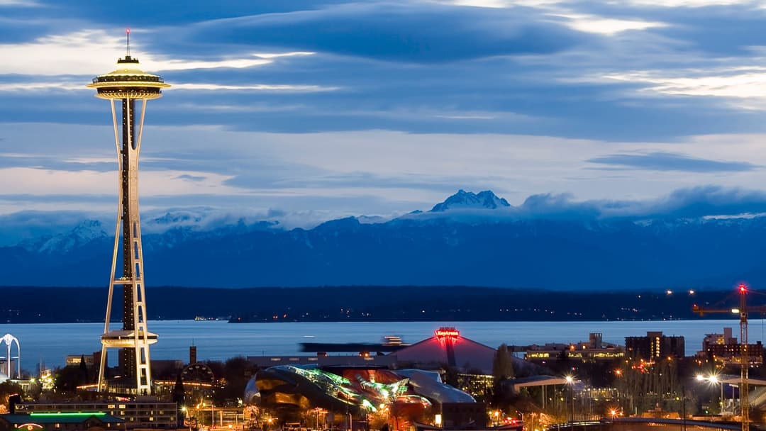
20. Seattle
King County ranks high in federal disaster indices due to intense atmospheric river precipitation, coastal flood risks, and active Cascadia subduction zone faulting.
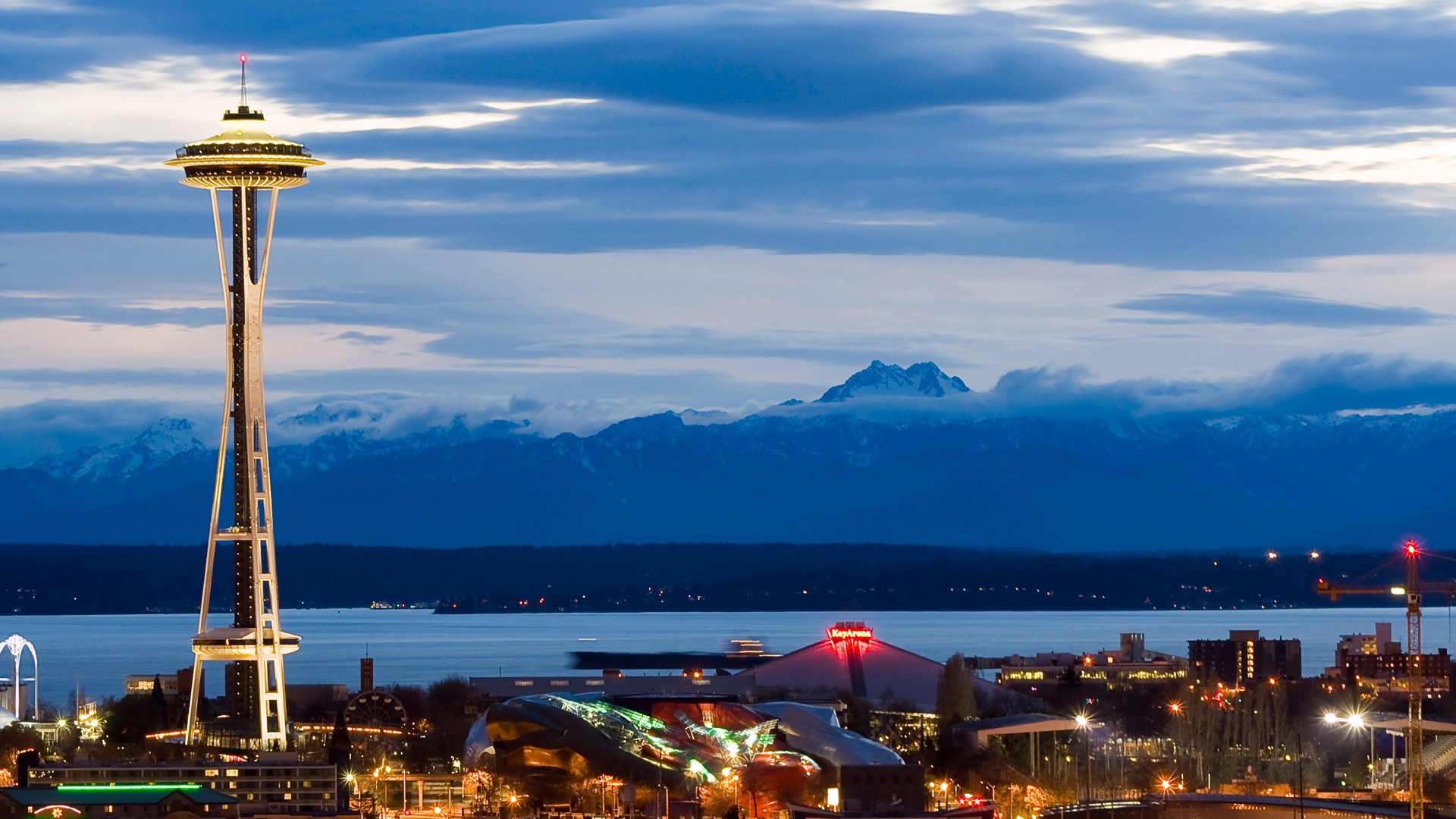
©Wikimedia / Seattle
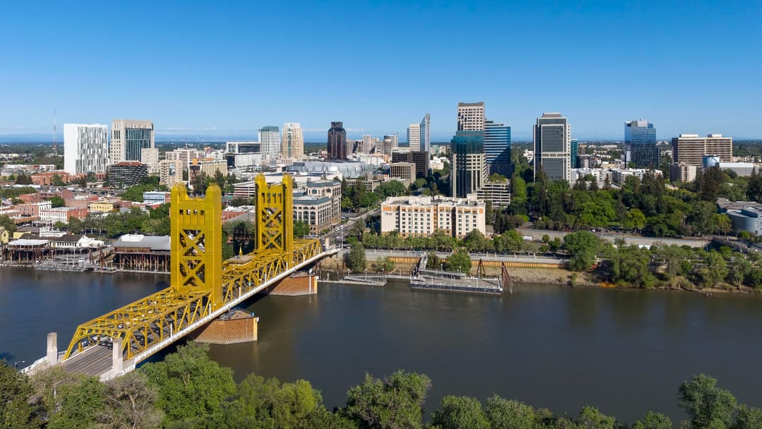
19. Sacramento
Sitting at the confluence of the American and Sacramento rivers, the state capital faces major levee strain during atmospheric river seasons alongside severe inland heat.
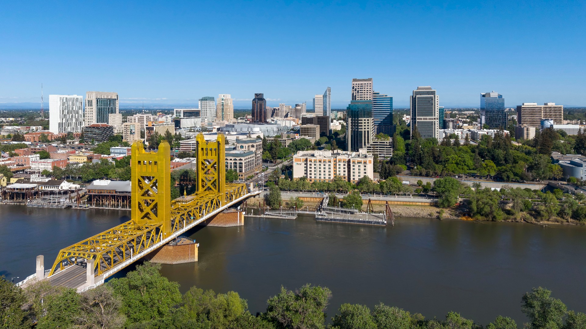
©Wikimedia / Sacramento, California
18. San Jose
Santa Clara County balances high seismic probabilities along the San Andreas and Hayward faults with extreme heat domes that strain municipal power grids.

©Wikimedia / phxhawke
Advertisement
Swipe or tap ▶ to resume the countdown.
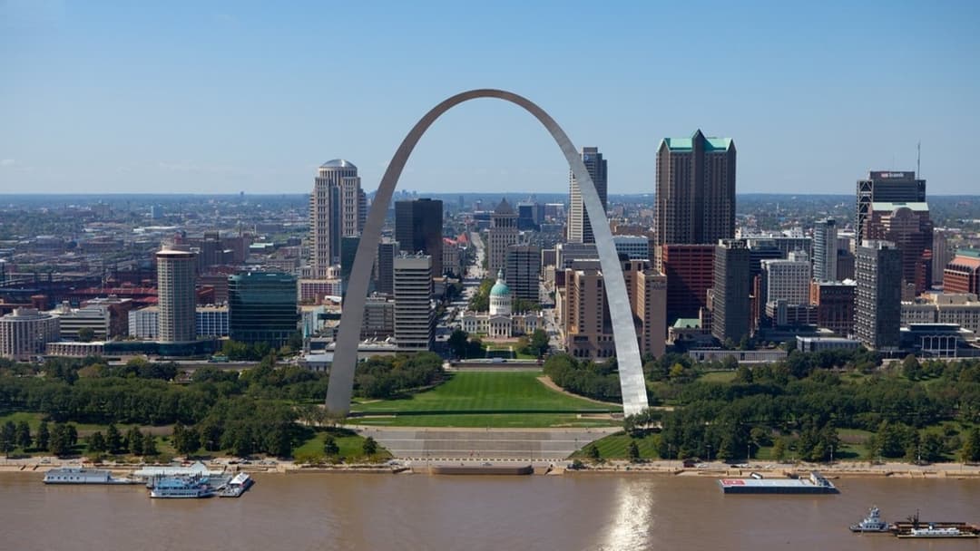
17. St. Louis
Convergence along the Mississippi and Missouri rivers leaves regional infrastructure vulnerable to prolonged flash flooding and destructive convective tornado cells.
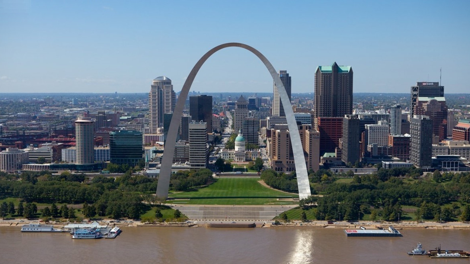
©Wikimedia / St. Louis
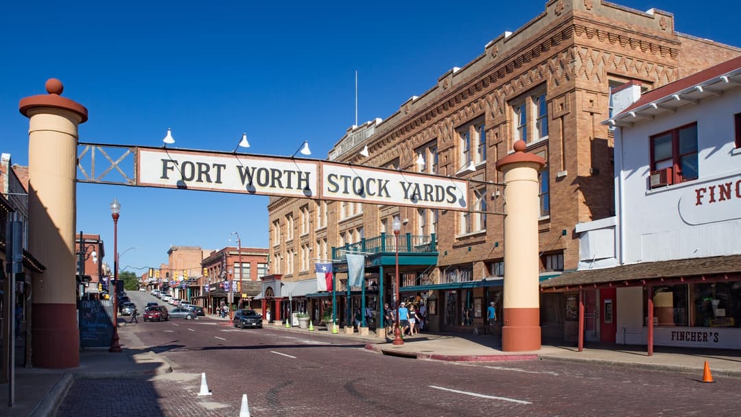
16. Fort Worth
Tarrant County experiences some of the nation's steepest property losses from violent convective supercells, large hail events, and multi-week heat waves.
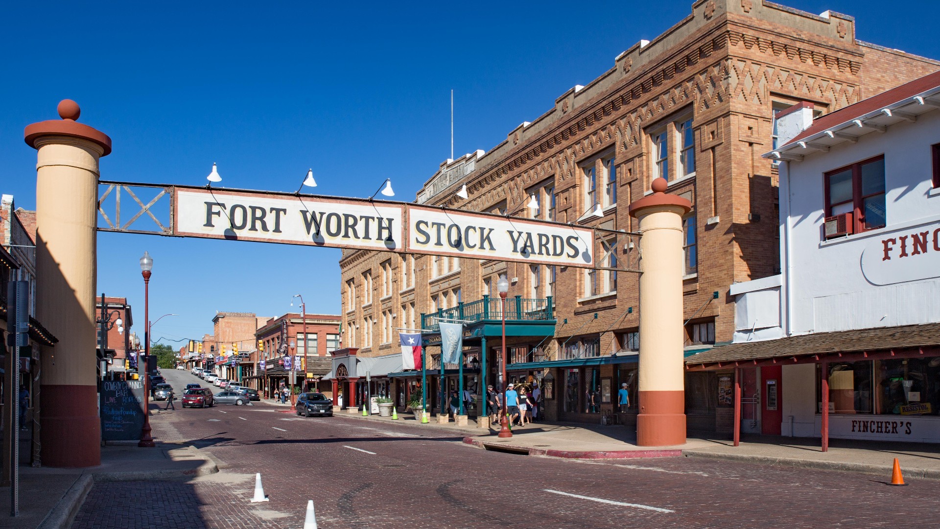
©Wikimedia / Fort Worth, Texas
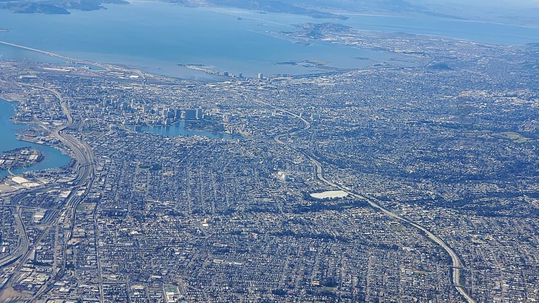
15. Oakland
Alameda County features direct exposure to the dangerous Hayward Fault, where potential ground rupture combines with dry summer winds across urban hillside interfaces.
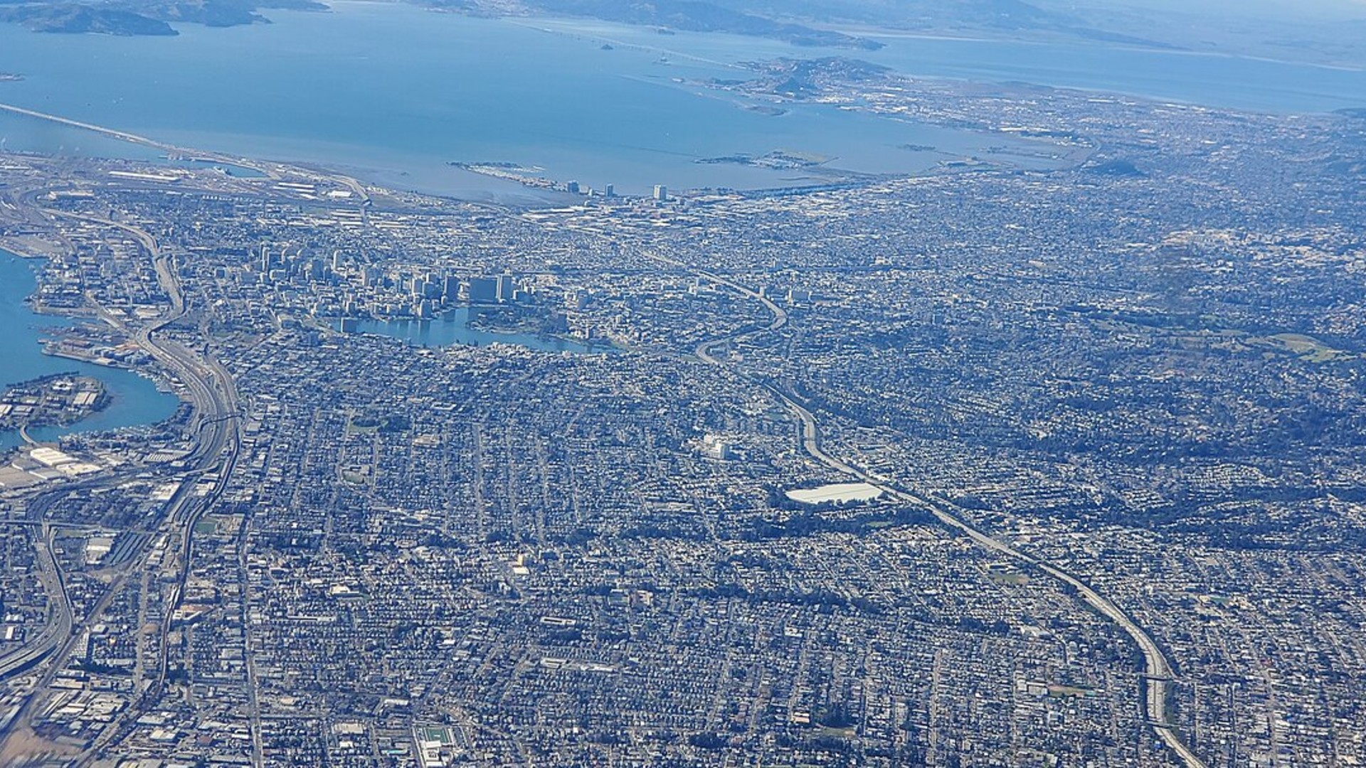
©Wikimedia / Martin Mbuthia
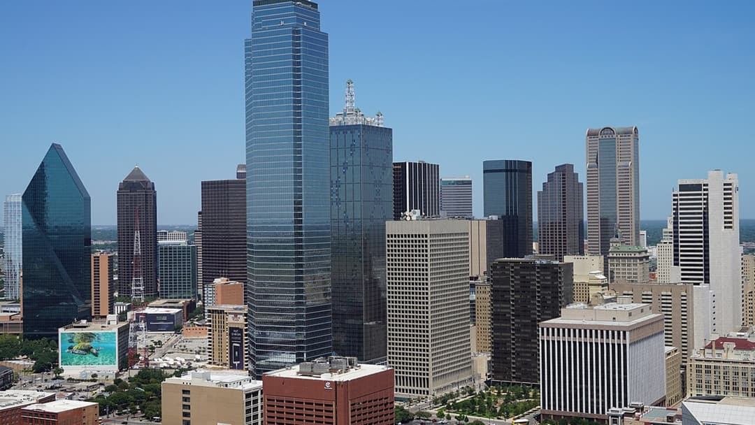
14. Dallas
Dense urban development across Dallas County amplifies economic vulnerability to severe convective storms, flash flooding, and prolonged summer heat spikes.
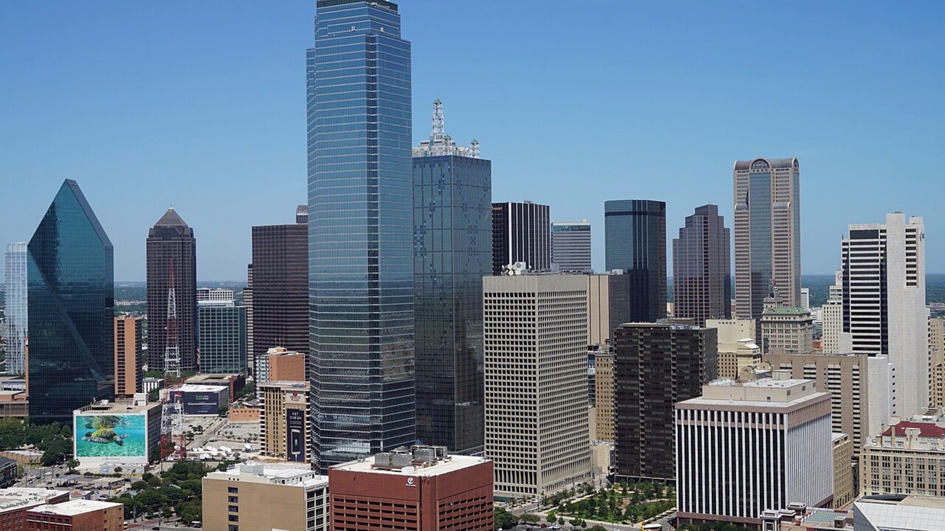
©Wikimedia / Michael Barera
Advertisement
Swipe or tap ▶ to resume the countdown.
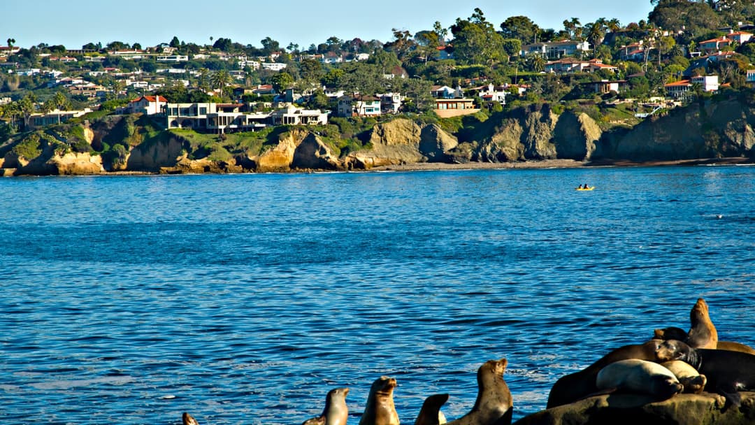
13. San Diego
Southern California coastal communities face escalating bluff instability and sea level rise, alongside hot Santa Ana wind events that sweep through dry canyons.
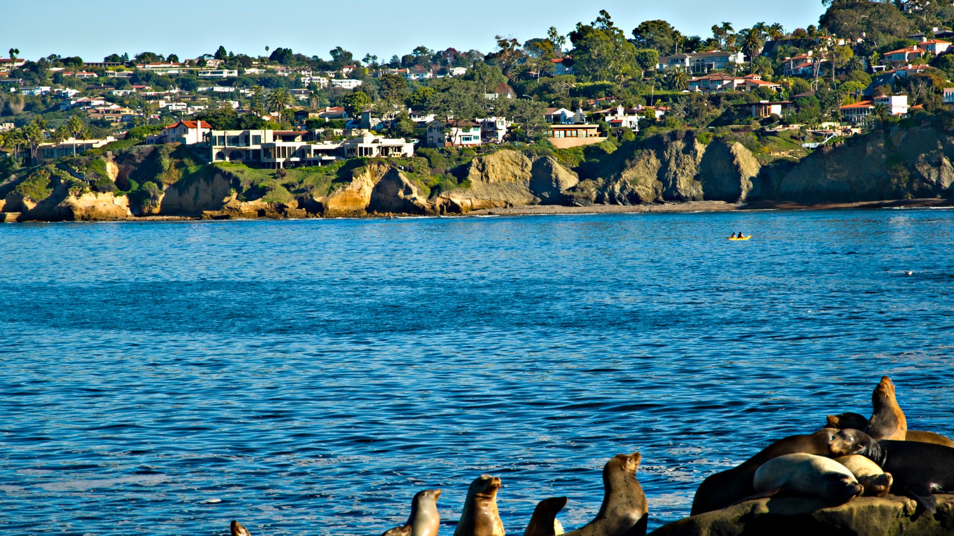
©Wikimedia / San Diego
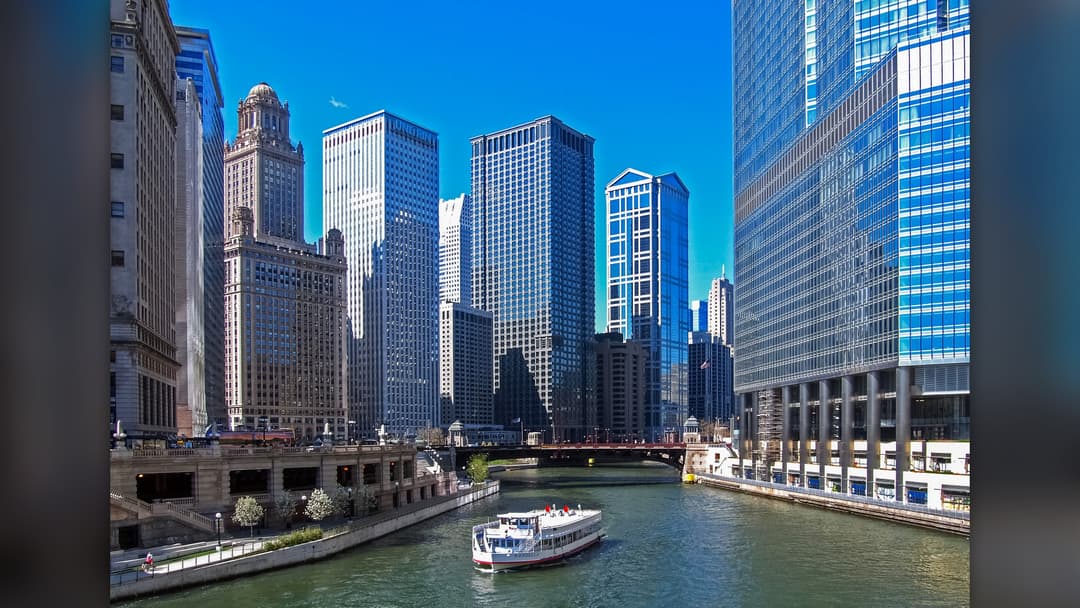
12. Chicago
Cook County carries massive property exposure to severe convective storms, urban flash flooding that overwhelms stormwater basins, and volatile winter freezes.
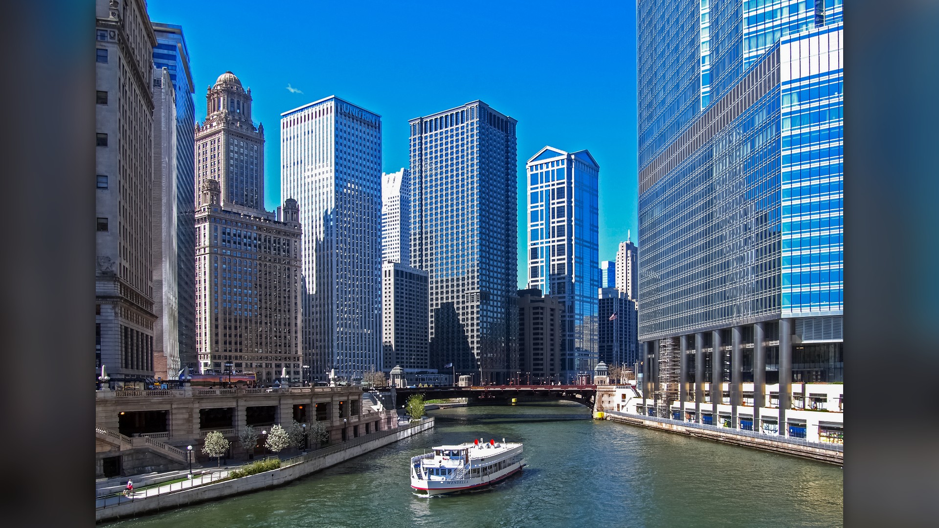
©Wikimedia / Chicago
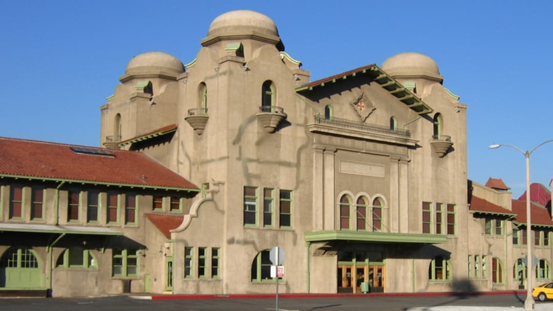
11. San Bernardino
Flanked by the San Andreas Fault and the Cajon Pass wind corridor, the valley regularly contends with explosive wildland fires and elevated earthquake risks.
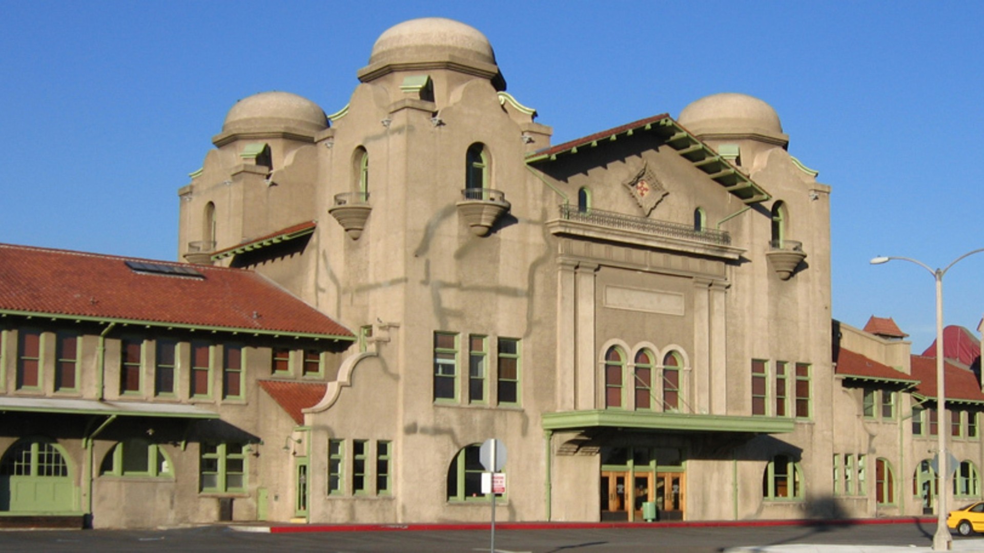
©Wikimedia / San Bernardino, California
10. Riverside
Riverside County ranks near the top of federal hazard assessments due to prolonged summer heat waves, high wildland-urban interface density, and drought.

©Wikimedia / Sk8tanics8tan
Advertisement
Swipe or tap ▶ to resume the countdown.
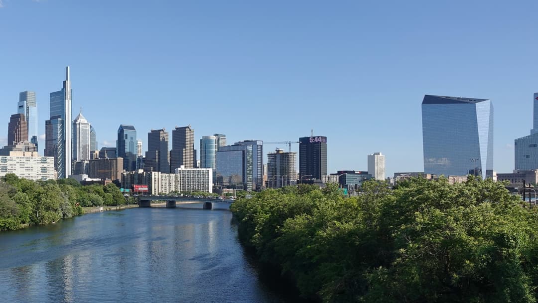
9. Philadelphia
Philadelphia County combines dense century-old housing with rising tidal storm surges along the Delaware River and pronounced social vulnerability to extreme heat.
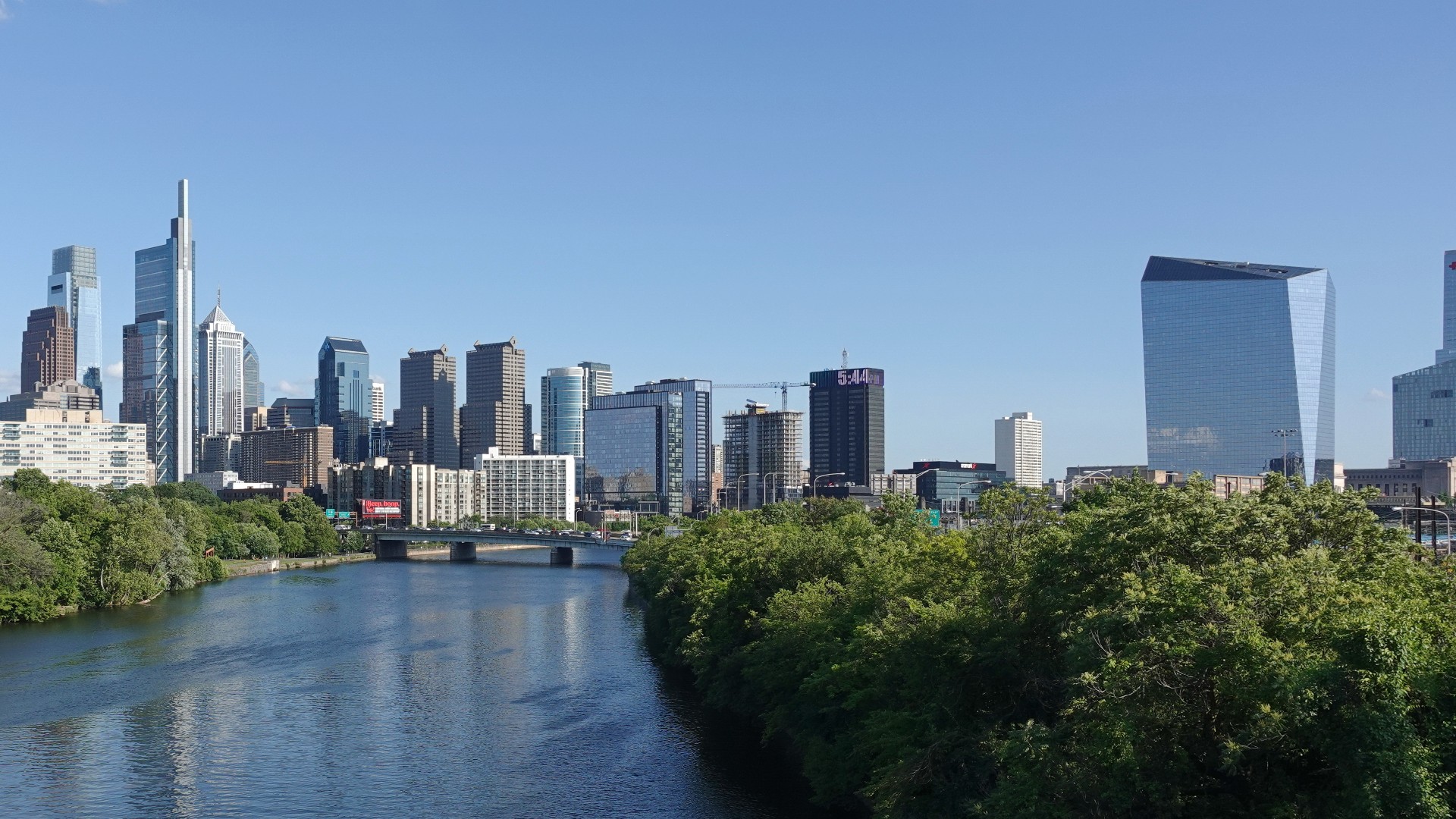
©Wikimedia / Philadelphia
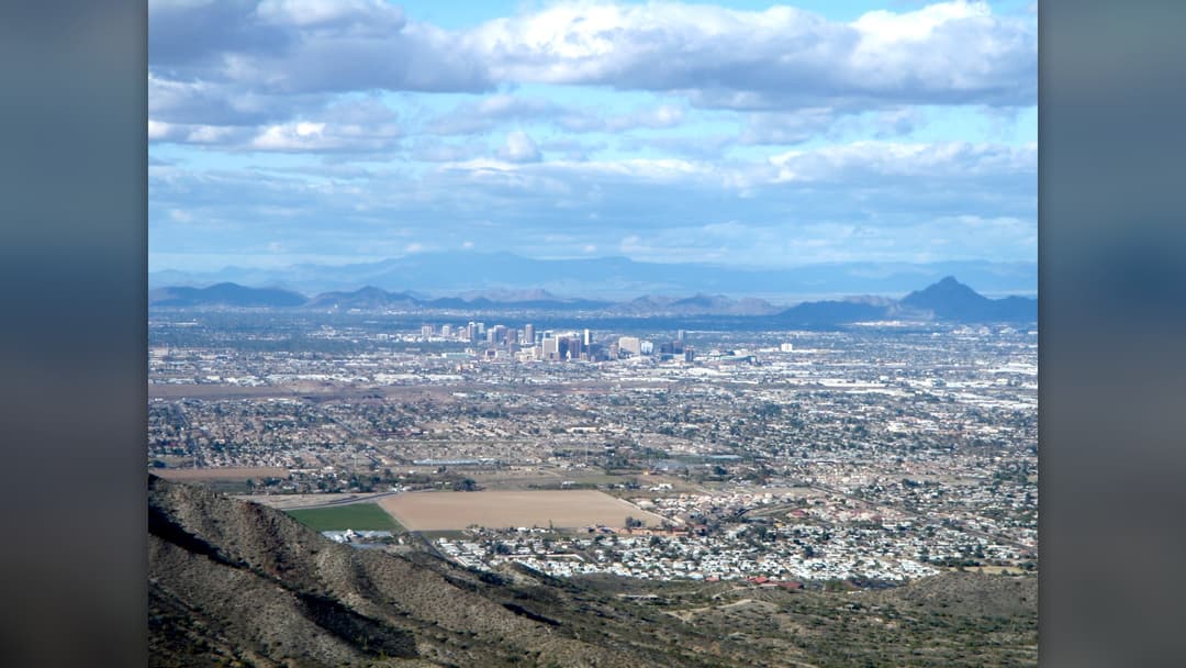
8. Phoenix
Maricopa County faces the nation's steepest extreme heat hazard, enduring record-long stretches above 110 degrees that threaten public health and power grids.
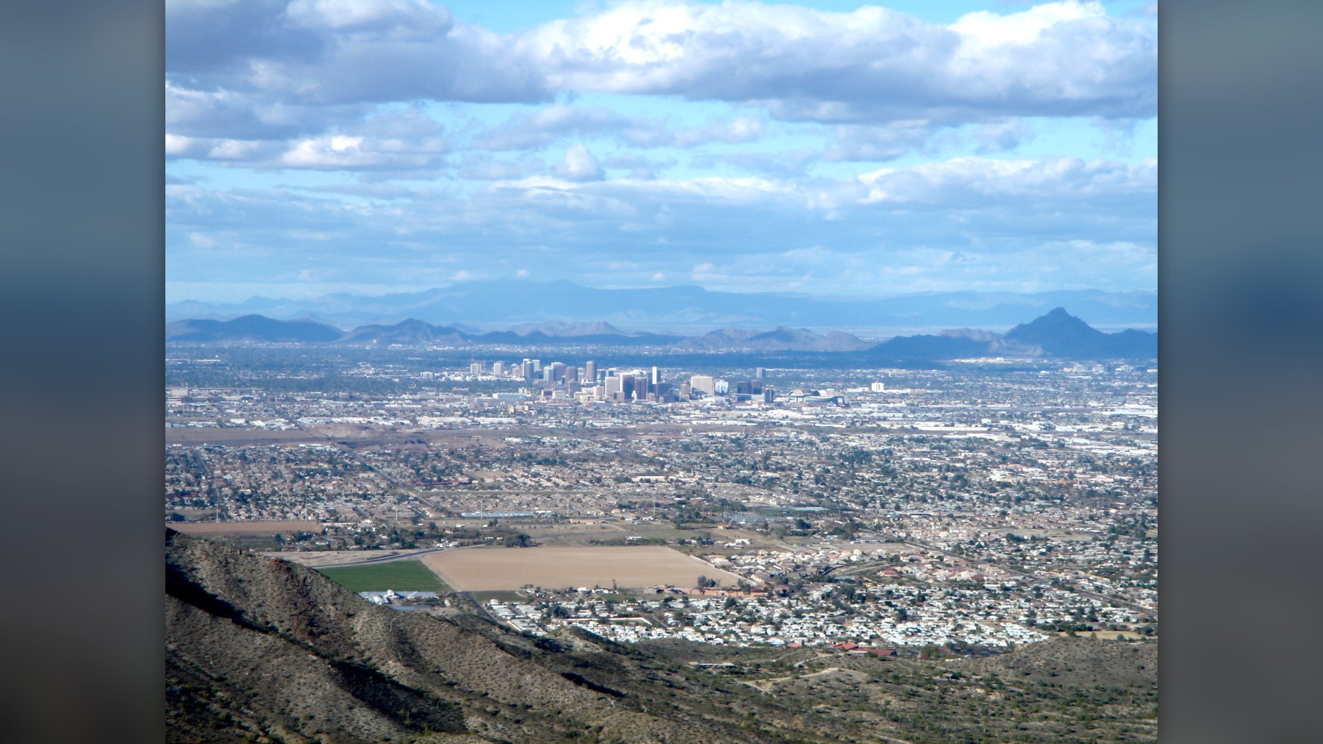
©Wikimedia / Bigmikebmw
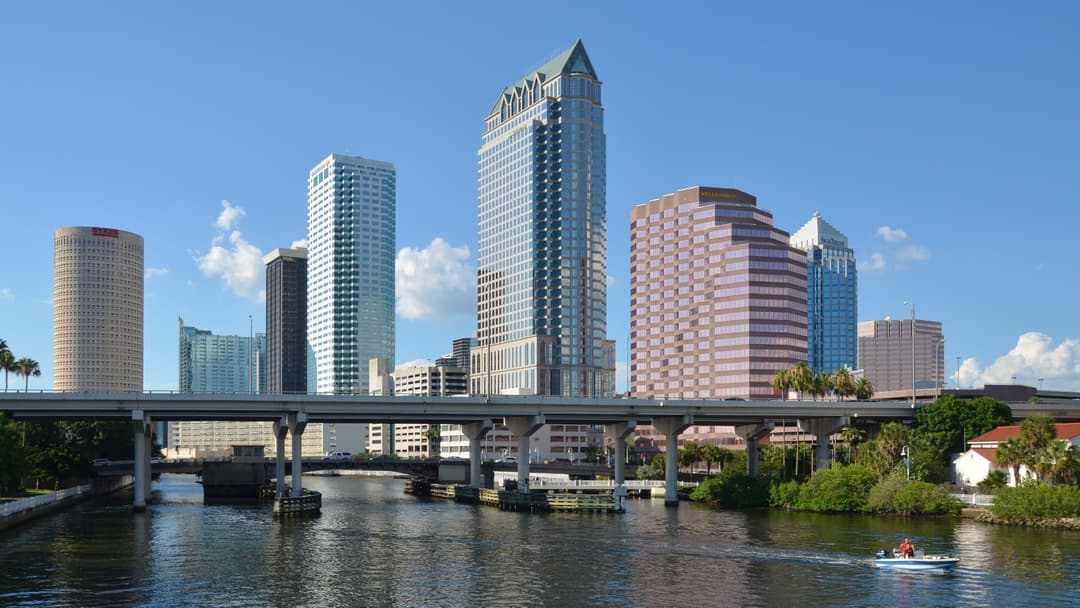
7. Tampa
The shallow bathymetry of Tampa Bay creates catastrophic surge potential during major hurricanes, threatening low-lying coastal neighborhoods across Hillsborough County.
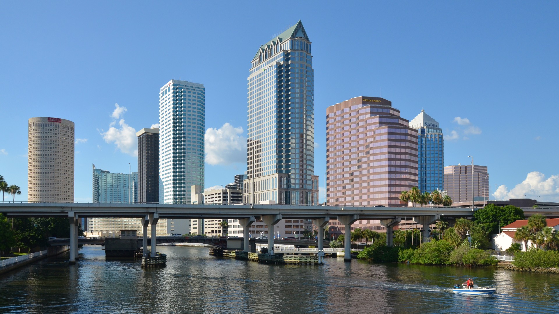
©Wikimedia / Tampa, Florida
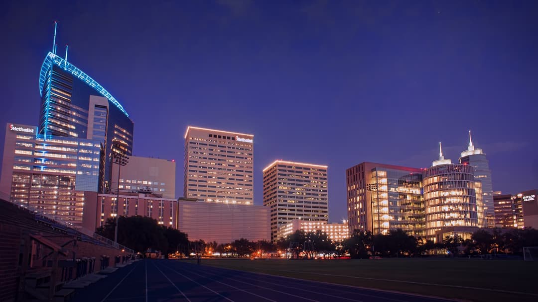
6. Houston
Harris County features immense economic exposure to slow-moving tropical systems, flat bayou topography, and industrial corridor surge along the Houston Ship Channel.
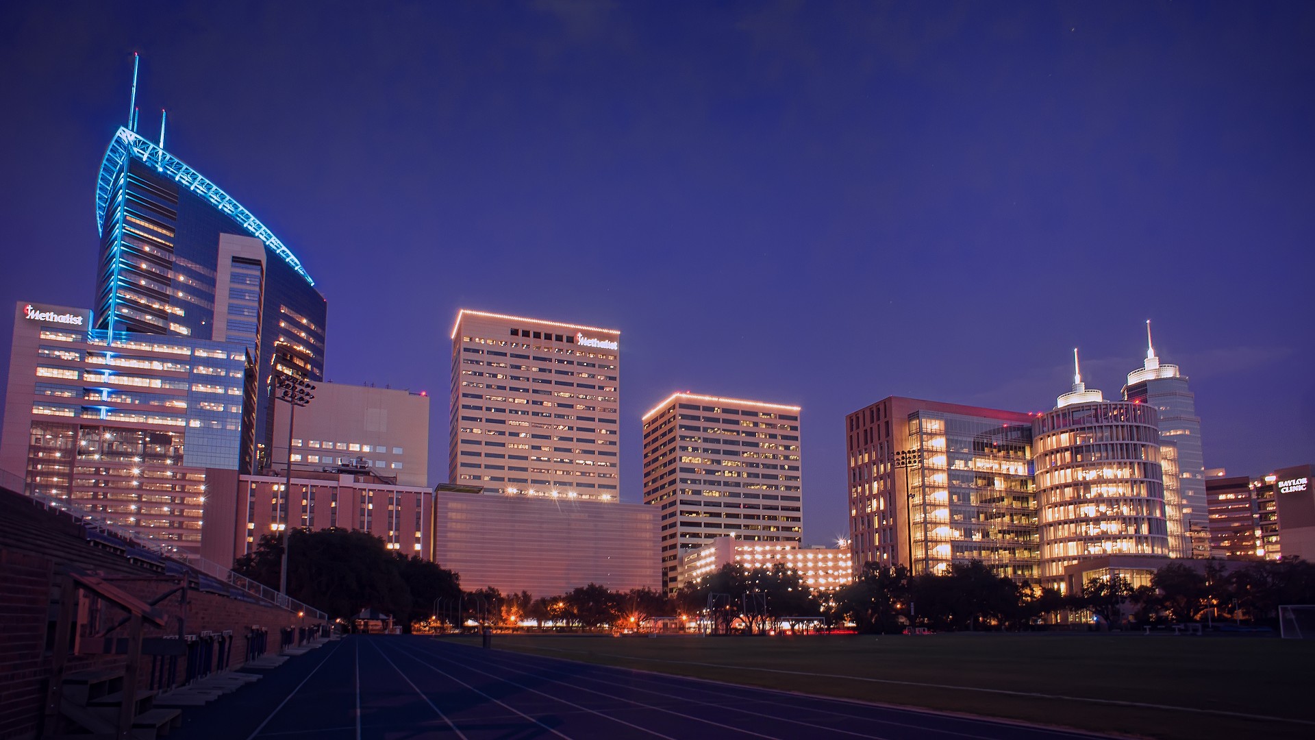
©Wikimedia / Houston
Advertisement
Swipe or tap ▶ to resume the countdown.
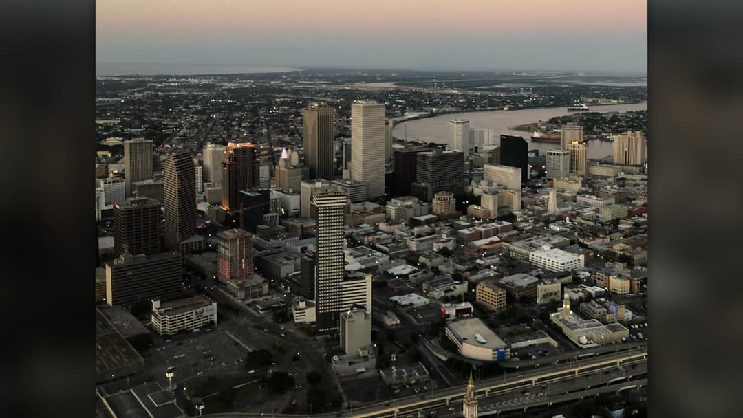
5. New Orleans
Surrounded by Lake Pontchartrain and the Mississippi River, New Orleans relies on extensive levee networks to stave off sea level rise and severe storm surges.
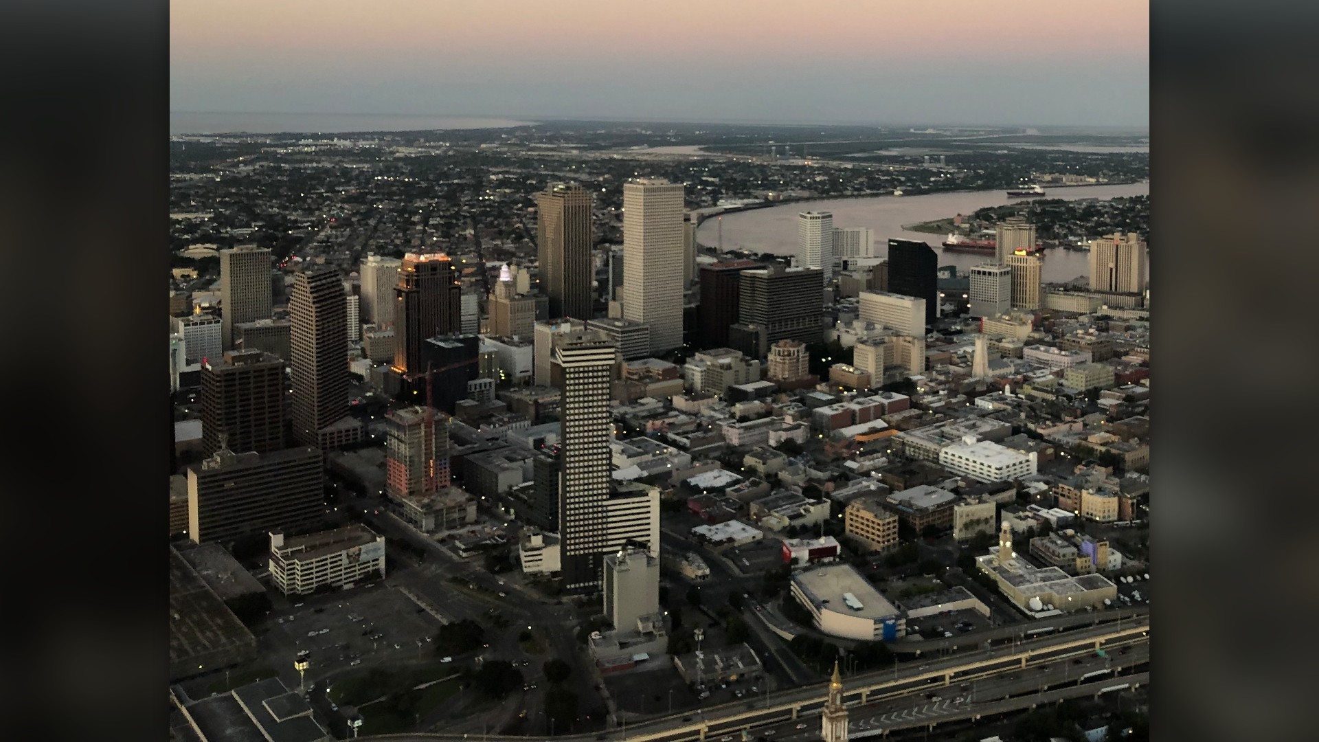
©Wikimedia / New Orleans
4. Anaheim
Orange County scores exceptionally high in federal hazard indices due to dense residential tracts abutting dry brush canyons and earthquake fault networks.

©Wikimedia / Anaheim, California
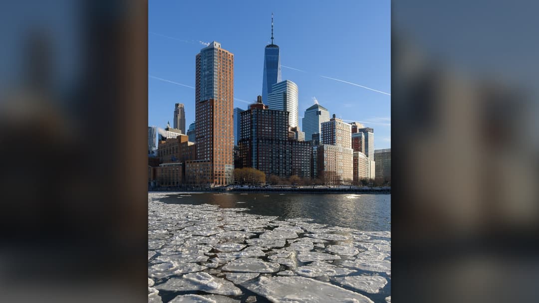
3. New York City
With over 520 miles of coastline, New York City faces multi-billion dollar threats from Atlantic hurricanes, rising harbor levels, and cloudburst subway flooding.
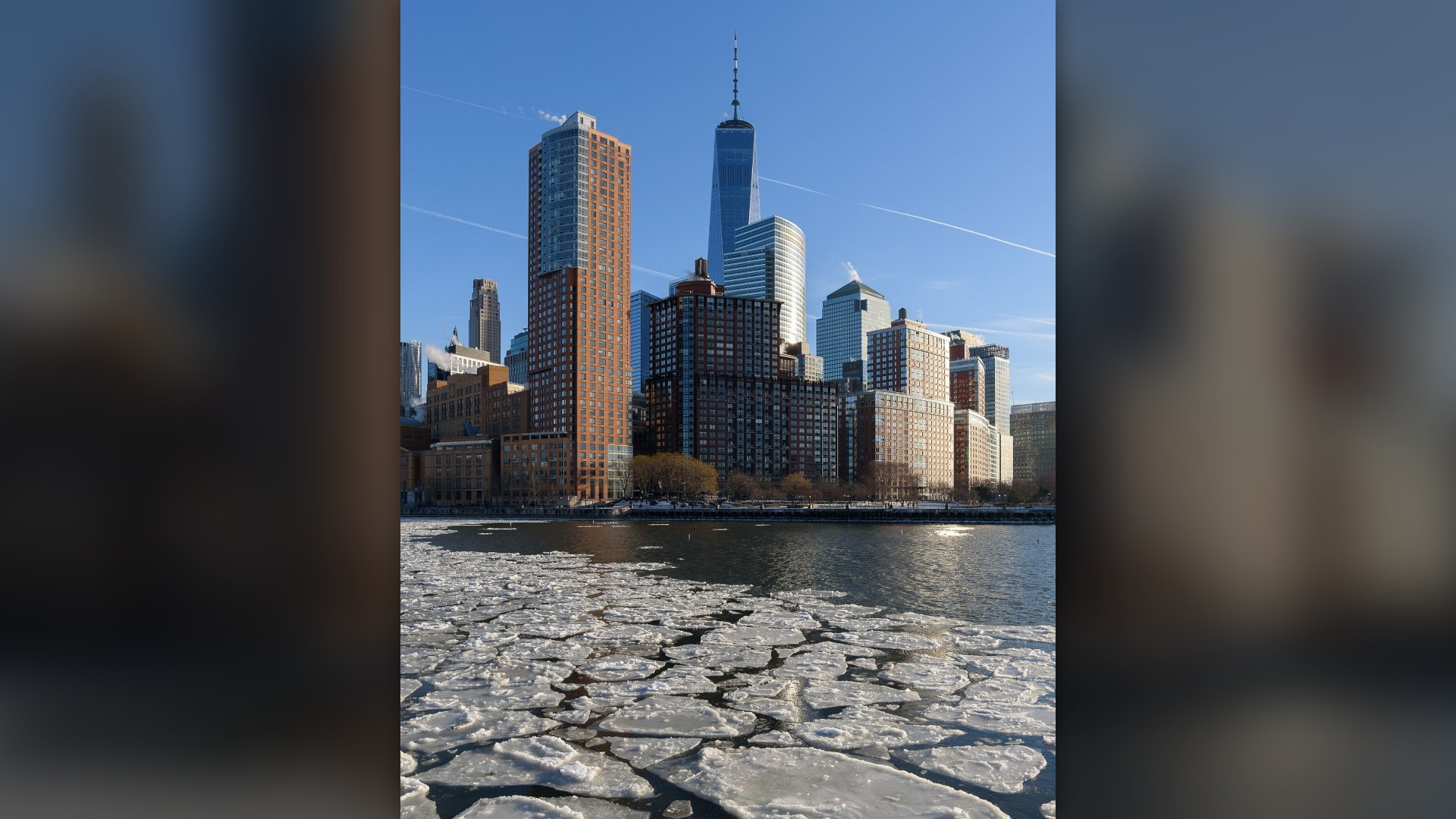
©Wikimedia / New York City
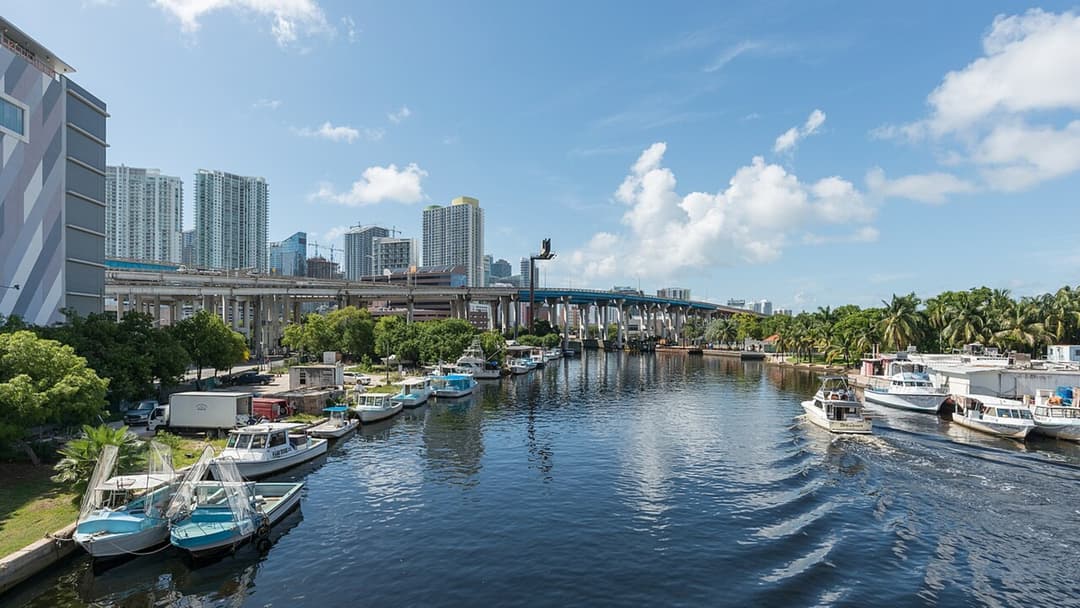
2. Miami
Built on porous limestone, Miami-Dade County experiences frequent sunny-day king tide flooding alongside extreme exposure to Atlantic tropical cyclones.
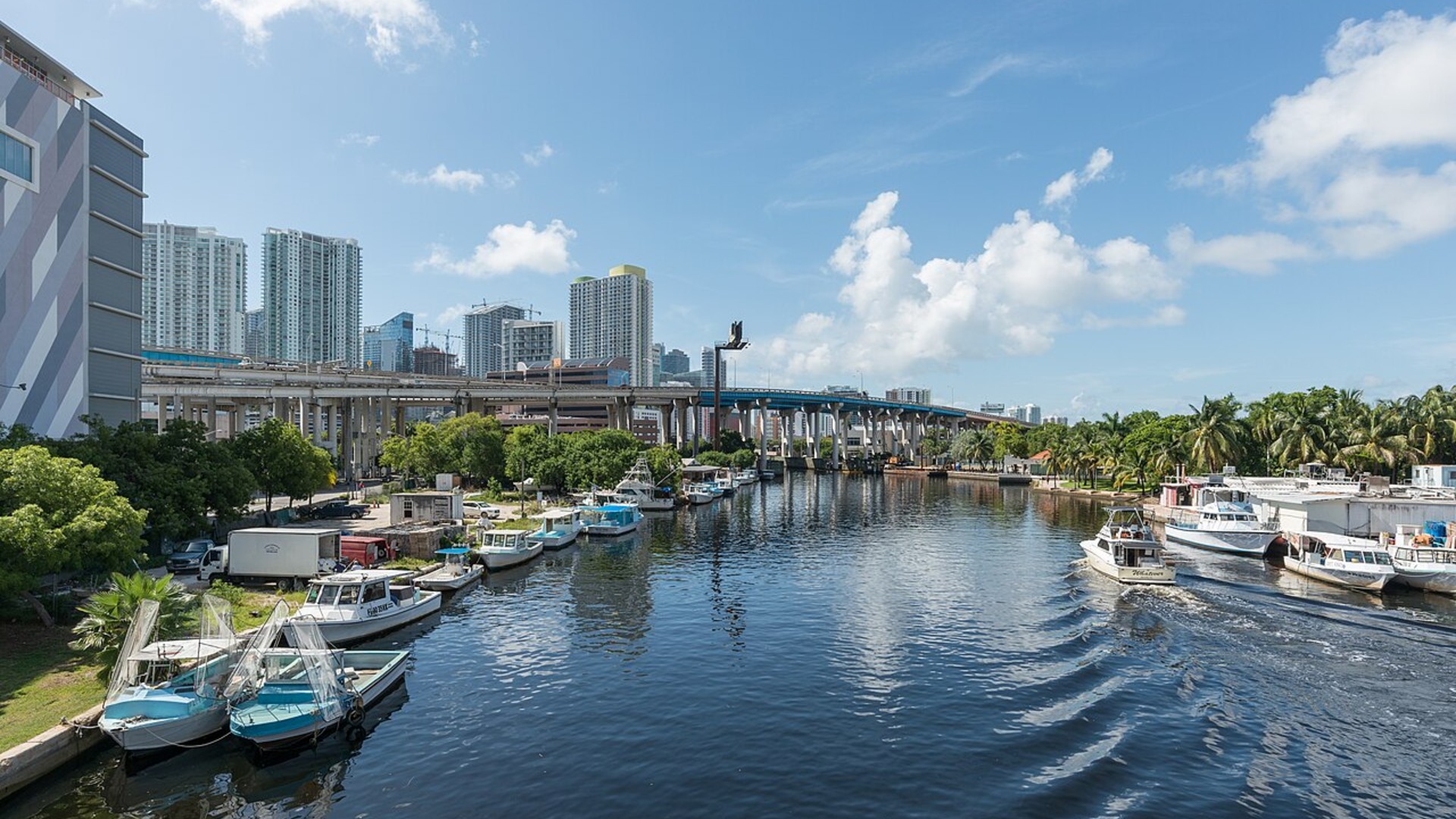
©Wikimedia / DXR
Advertisement
Swipe or tap ▶ to resume the countdown.
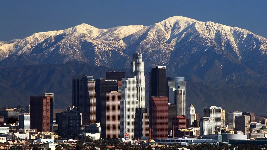
1. Los Angeles
Los Angeles County tops FEMA's National Risk Index with the highest expected annual loss in the country, driven by active fault systems, coastal canyon wildfires, and severe heat.
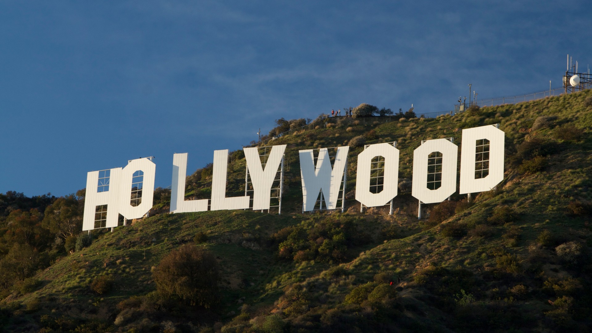
©Wikimedia / Los Angeles
Advertisement
You've reached the end of the story. Thanks for reading!

The 30 Most-Searched Questions of 2026
Curious Minds: What the World Wondered Most in 2026
All 20 Entries in this Story
20. Seattle
King County ranks high in federal disaster indices due to intense atmospheric river precipitation, coastal flood risks, and active Cascadia subduction zone faulting.

19. Sacramento
Sitting at the confluence of the American and Sacramento rivers, the state capital faces major levee strain during atmospheric river seasons alongside severe inland heat.

18. San Jose
Santa Clara County balances high seismic probabilities along the San Andreas and Hayward faults with extreme heat domes that strain municipal power grids.

17. St. Louis
Convergence along the Mississippi and Missouri rivers leaves regional infrastructure vulnerable to prolonged flash flooding and destructive convective tornado cells.

16. Fort Worth
Tarrant County experiences some of the nation's steepest property losses from violent convective supercells, large hail events, and multi-week heat waves.

15. Oakland
Alameda County features direct exposure to the dangerous Hayward Fault, where potential ground rupture combines with dry summer winds across urban hillside interfaces.

14. Dallas
Dense urban development across Dallas County amplifies economic vulnerability to severe convective storms, flash flooding, and prolonged summer heat spikes.

13. San Diego
Southern California coastal communities face escalating bluff instability and sea level rise, alongside hot Santa Ana wind events that sweep through dry canyons.

12. Chicago
Cook County carries massive property exposure to severe convective storms, urban flash flooding that overwhelms stormwater basins, and volatile winter freezes.

11. San Bernardino
Flanked by the San Andreas Fault and the Cajon Pass wind corridor, the valley regularly contends with explosive wildland fires and elevated earthquake risks.

10. Riverside
Riverside County ranks near the top of federal hazard assessments due to prolonged summer heat waves, high wildland-urban interface density, and drought.

9. Philadelphia
Philadelphia County combines dense century-old housing with rising tidal storm surges along the Delaware River and pronounced social vulnerability to extreme heat.

8. Phoenix
Maricopa County faces the nation's steepest extreme heat hazard, enduring record-long stretches above 110 degrees that threaten public health and power grids.

7. Tampa
The shallow bathymetry of Tampa Bay creates catastrophic surge potential during major hurricanes, threatening low-lying coastal neighborhoods across Hillsborough County.

6. Houston
Harris County features immense economic exposure to slow-moving tropical systems, flat bayou topography, and industrial corridor surge along the Houston Ship Channel.

5. New Orleans
Surrounded by Lake Pontchartrain and the Mississippi River, New Orleans relies on extensive levee networks to stave off sea level rise and severe storm surges.

4. Anaheim
Orange County scores exceptionally high in federal hazard indices due to dense residential tracts abutting dry brush canyons and earthquake fault networks.

3. New York City
With over 520 miles of coastline, New York City faces multi-billion dollar threats from Atlantic hurricanes, rising harbor levels, and cloudburst subway flooding.

2. Miami
Built on porous limestone, Miami-Dade County experiences frequent sunny-day king tide flooding alongside extreme exposure to Atlantic tropical cyclones.

1. Los Angeles
Los Angeles County tops FEMA's National Risk Index with the highest expected annual loss in the country, driven by active fault systems, coastal canyon wildfires, and severe heat.