Slideshow · Travel
20 Highest Mountain Passes in the United States, Ranked
From the Rockies to the Sierra Nevada, USGS survey data reveals the twenty highest mountain highway summits across America, ranked by elevation above sea level. Based on United States Geological Survey elevation records, these twenty paved public highway passes cross the highest crests of the American West. All climb well above ten thousand feet.
By Most Viral Today
12 min ago

20 Highest Mountain Passes in the United States, Ranked 
20. Sonora Pass, California 
19. Tioga Pass, California 
18. Kenosha Pass, Colorado - AdvertisementSwipe or tap ▶ to continue countdown

17. Cameron Pass, Colorado 
16. Tennessee Pass, Colorado 
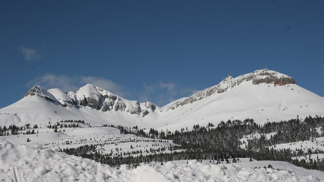
15. Coal Bank Pass, Colorado 
14. Vail Pass, Colorado - AdvertisementSwipe or tap ▶ to continue countdown

13. Milner Pass, Colorado 
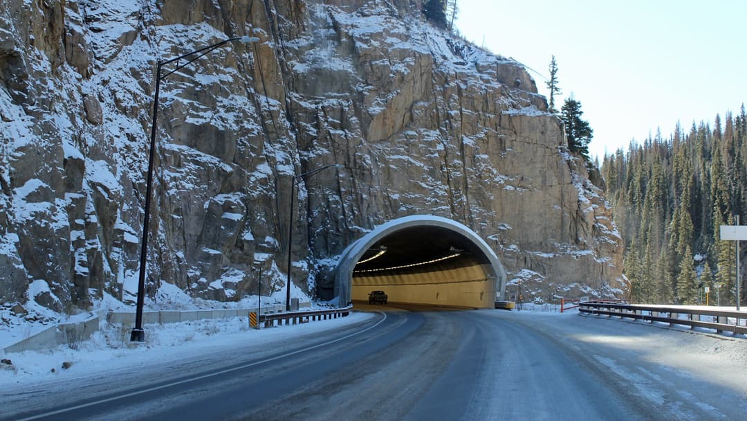
12. Wolf Creek Pass, Colorado 
11. Molas Pass, Colorado 
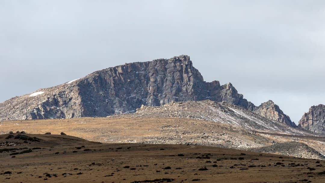
10. Beartooth Pass, Wyoming - AdvertisementSwipe or tap ▶ to continue countdown

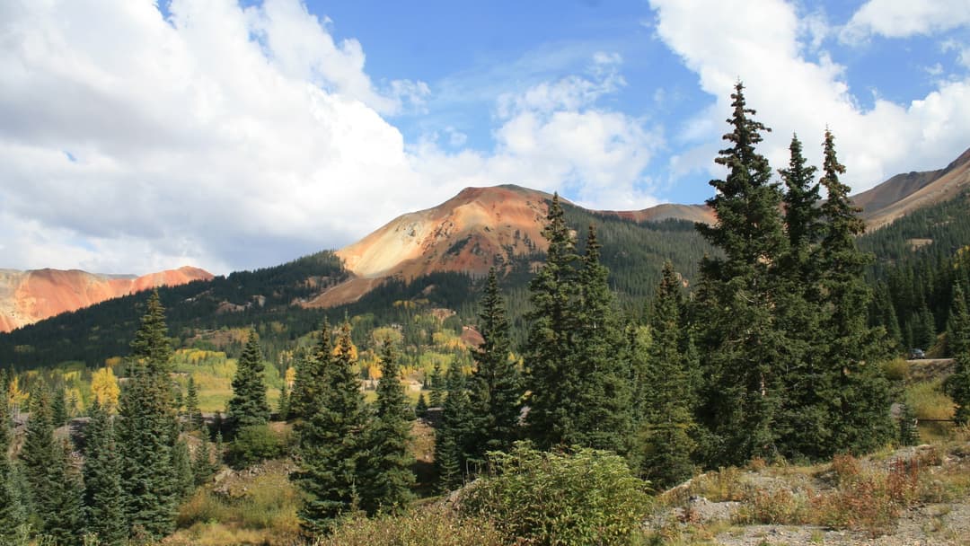
9. Red Mountain Pass, Colorado 
8. Berthoud Pass, Colorado 
7. Monarch Pass, Colorado 
6. Fremont Pass, Colorado - AdvertisementSwipe or tap ▶ to continue countdown

5. Slumgullion Pass, Colorado 
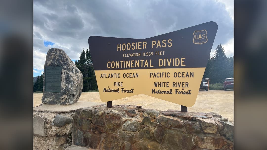
4. Hoosier Pass, Colorado 
3. Loveland Pass, Colorado 
2. Independence Pass, Colorado - AdvertisementSwipe or tap ▶ to continue countdown

1. Cottonwood Pass, Colorado - Advertisement🔥 UP NEXT IN THIS SERIES◫ 26 Slides

America's 25 Top Airlines Ranked for Comfort and Reliability
Flying across the United States involves choosing between massive network carriers, boutique regional operators, and budget fliers. Here is the definitive countdown of the 25 best US airlines.
Based on United States Geological Survey elevation records, these twenty paved public highway passes cross the highest crests of the American West. All climb well above ten thousand feet.
Swipe or tap ▶ to begin the countdown
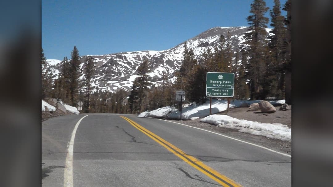
©Wikimedia / Stan Shebs
20. Sonora Pass, California
Winding over remote alpine granite terrain, Sonora Pass links Tuolumne County with Mono County across the high crest of the central Sierra Nevada. Steep highway grades reach twenty-six percent. Heavy winter snowfalls close the corridor for months.
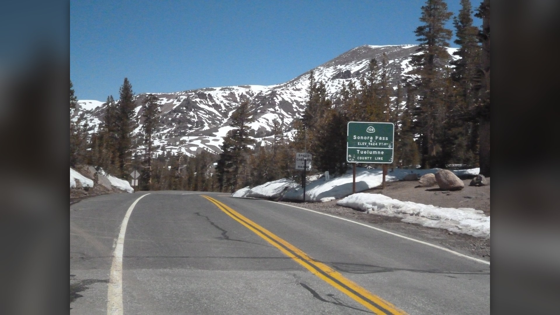
©Wikimedia / akampfer
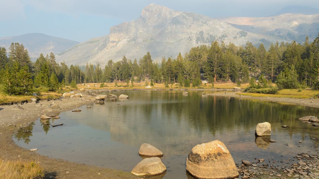
19. Tioga Pass, California
Tioga Pass marks the highest vehicular highway crossing in California, welcoming visitors into Yosemite National Park from the east. Ice lingers late into high summer. State snowplows spend weeks carving paths.
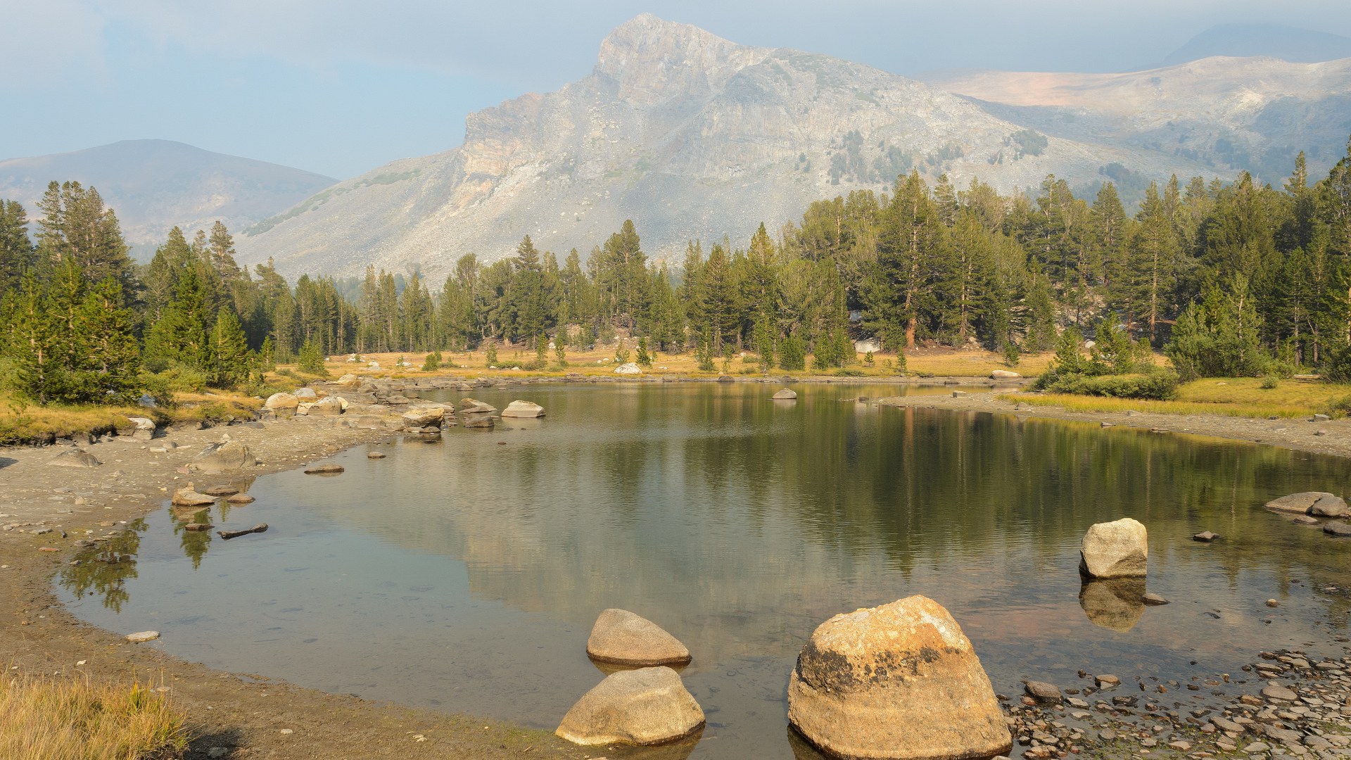
©Wikimedia / King of Hearts
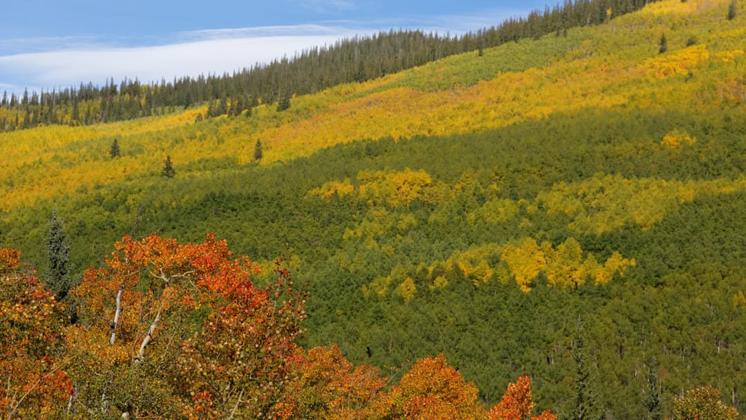
18. Kenosha Pass, Colorado
US Highway 285 climbs gently toward Kenosha Pass through dense groves of quaking aspen trees. Autumn leaves blaze bright gold across the hillsides. The vast South Park basin unfolds below.
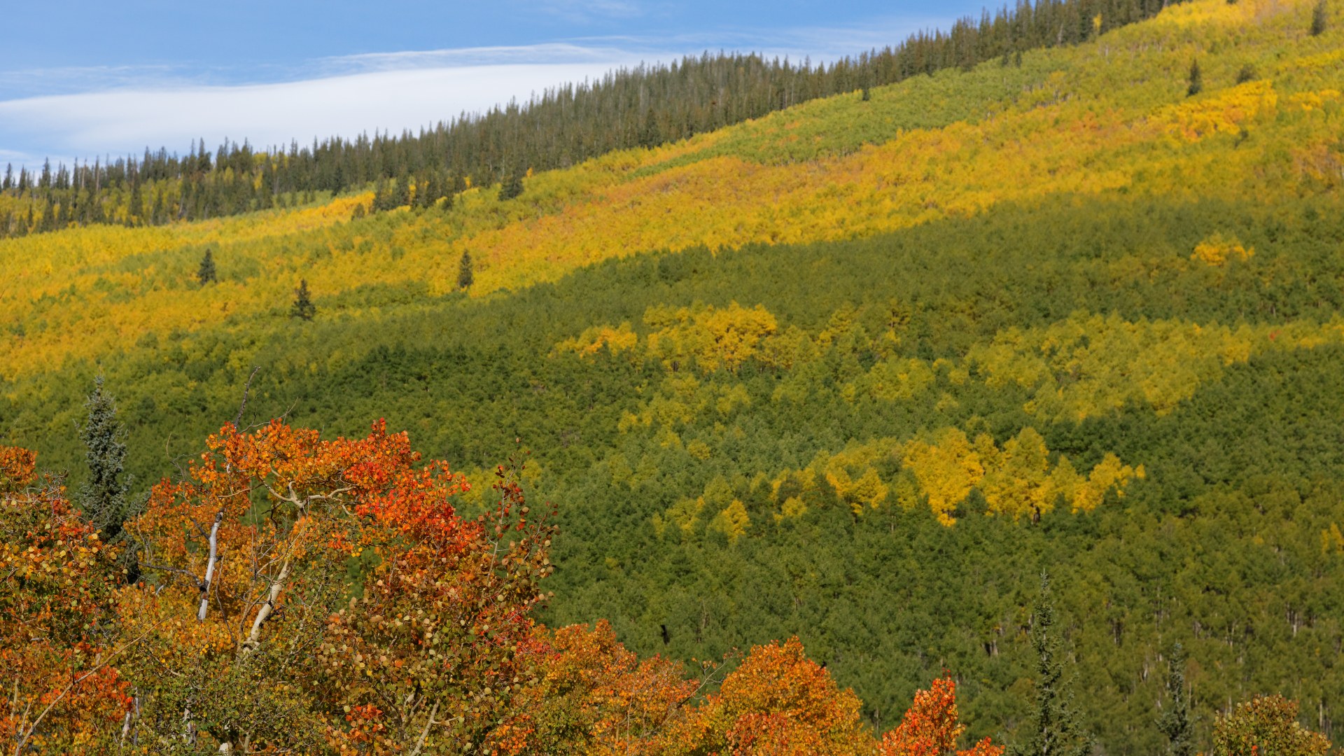
©Wikimedia / KimonBerlin
Advertisement
Swipe or tap ▶ to resume the countdown.
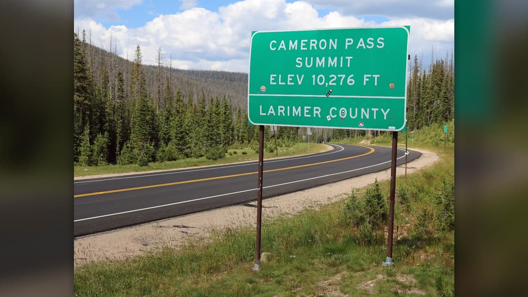
17. Cameron Pass, Colorado
Cameron Pass separates the Never Summer Mountains from the jagged peaks of the Rawah Wilderness. Winter storms dump heavy snow across the pass. Dedicated state highway crews plow the mountain pavement daily.
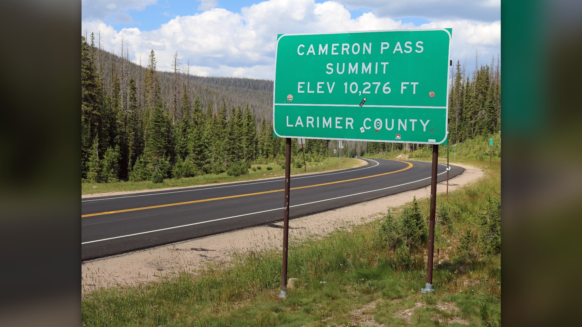
©Wikimedia / Jeffrey Beall
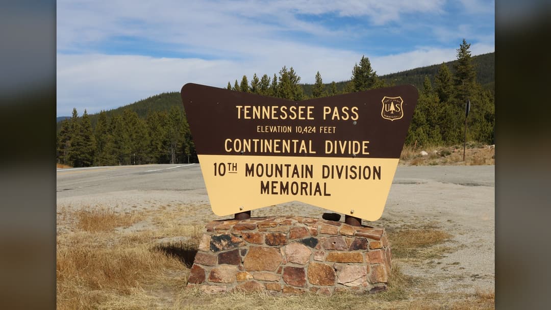
16. Tennessee Pass, Colorado
Tennessee Pass provided essential railroad access through the Sawatch Range before modern highways arrived in Colorado. Historical signs commemorate the soldiers of Camp Hale. Road grades stay steady.
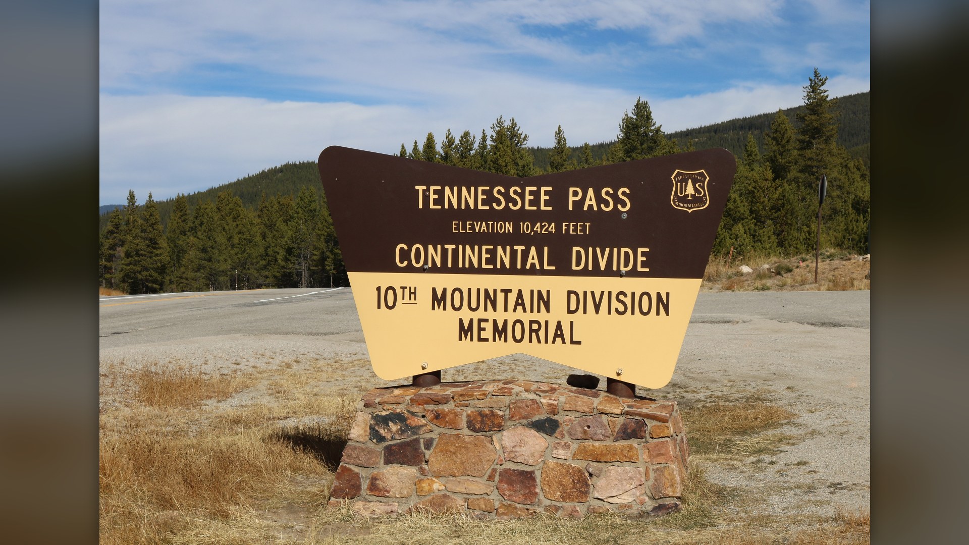
©Wikimedia / Jeffrey Beall
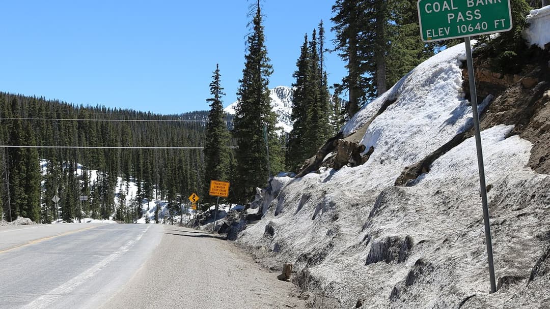
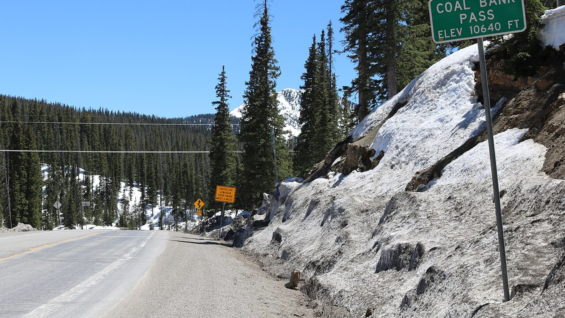
15. Coal Bank Pass, Colorado
Carved directly into sheer sandstone and granite cliffs, Coal Bank Pass tests drivers traveling between Durango and Silverton. Deep unprotected drop-offs line the road shoulder. Heavy winter snowfall accumulates fast.
©Wikimedia / Jeffrey Beall
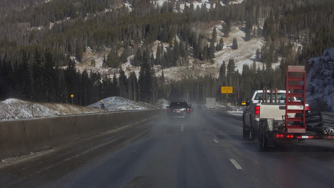
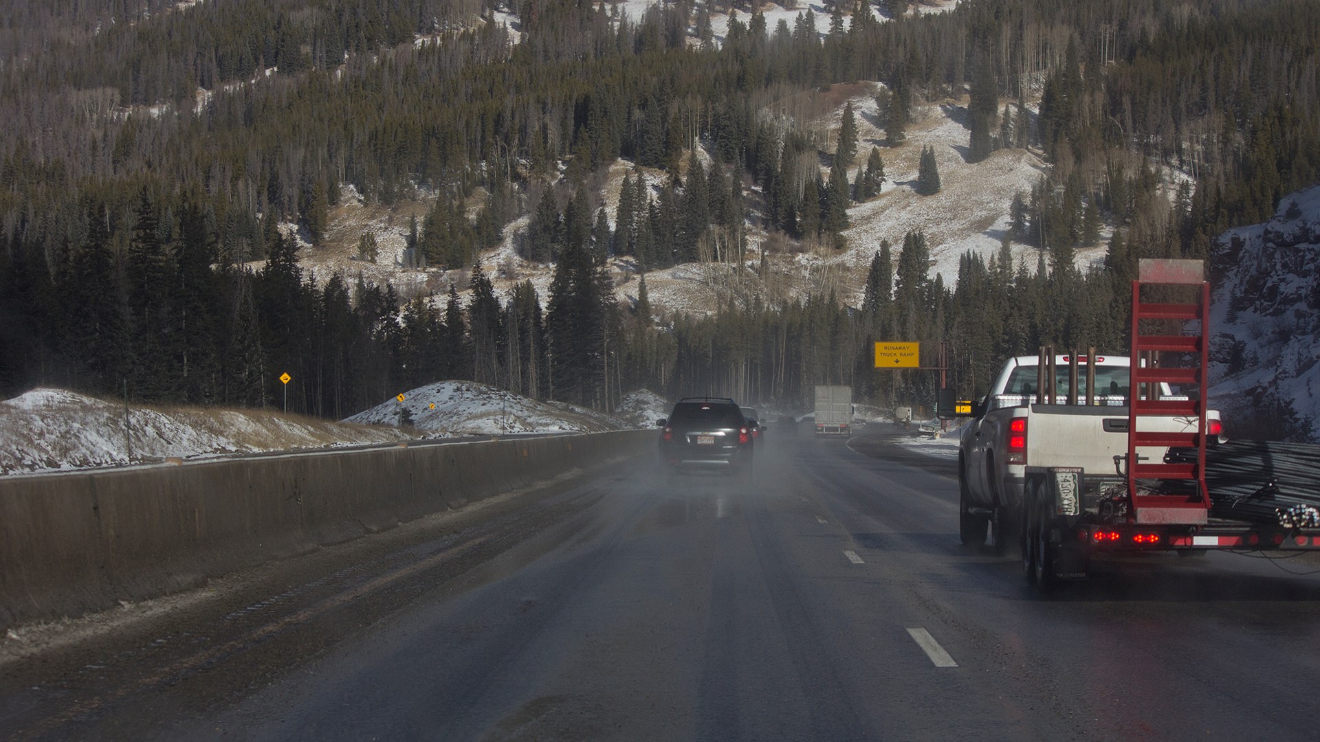
14. Vail Pass, Colorado
Carrying four lanes of transcontinental interstate traffic, Vail Pass presents serious winter challenges for commercial semi trucks. Emergency runaway ramps wait below. Blizzards strike fast.
©Wikimedia / Bidgee
Advertisement
Swipe or tap ▶ to resume the countdown.
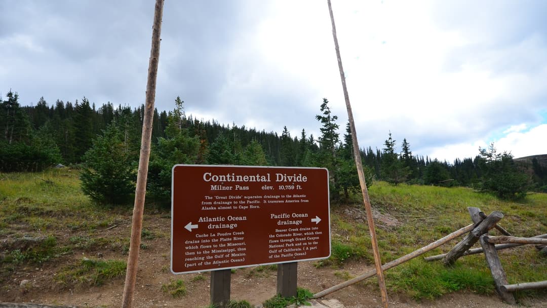
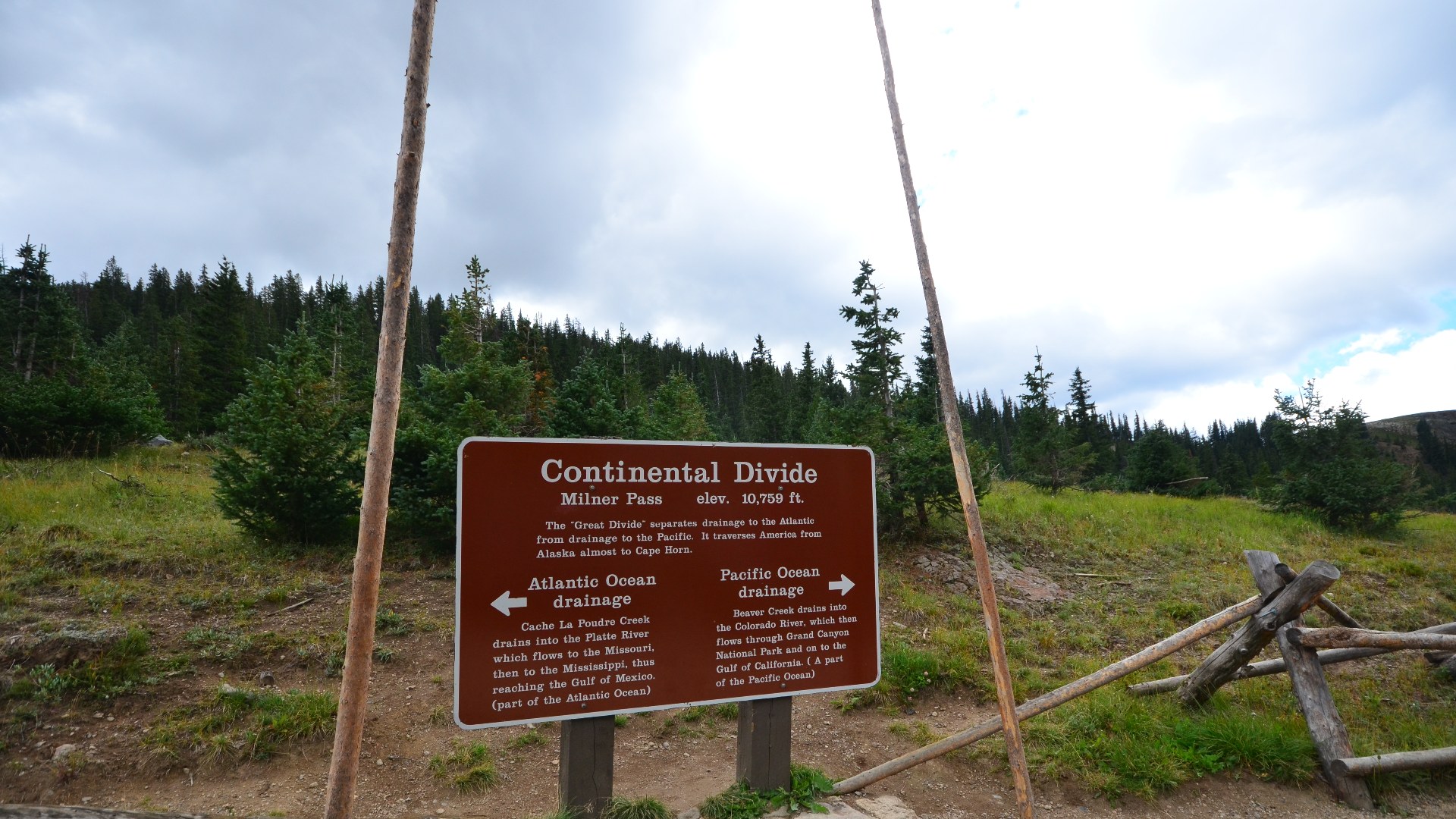
13. Milner Pass, Colorado
Milner Pass marks the exact alpine ridge where Atlantic and Pacific river drainages divide beside Poudre Lake. High tundra winds howl relentlessly. Large herds of Rocky Mountain elk feed quietly nearby.
©Wikimedia / Sayamindu Dasgupta
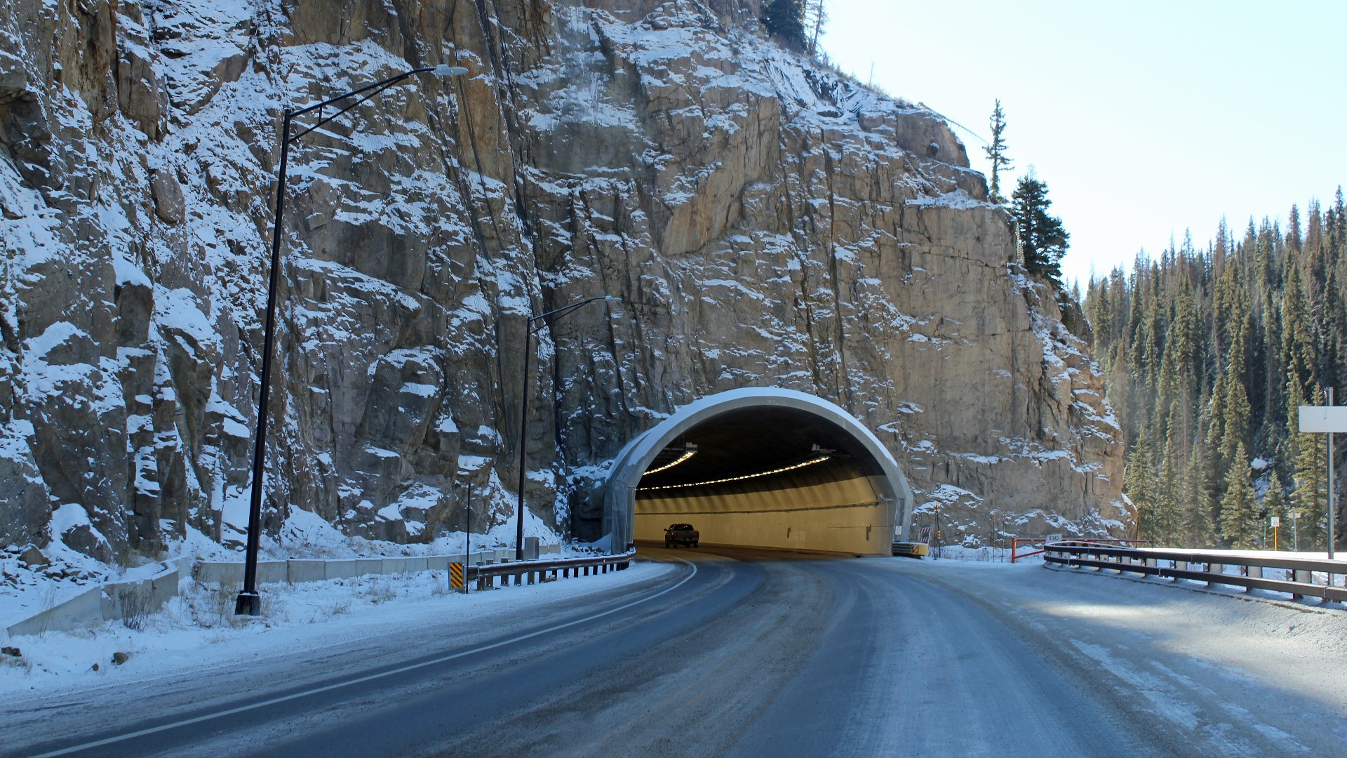
12. Wolf Creek Pass, Colorado
Averaging over four hundred inches of winter powder, Wolf Creek Pass receives more snow than anywhere else in Colorado. Giant state rotary plows clear drifts. Vehicle engines lose substantial power.
©Wikimedia / Jeffrey Beall
11. Molas Pass, Colorado
Molas Pass rewards motorists with sweeping vistas across the rugged thirteeners of the Weminuche Wilderness. Thin alpine air reduces combustion efficiency. State highway crews keep the paved route open all winter.
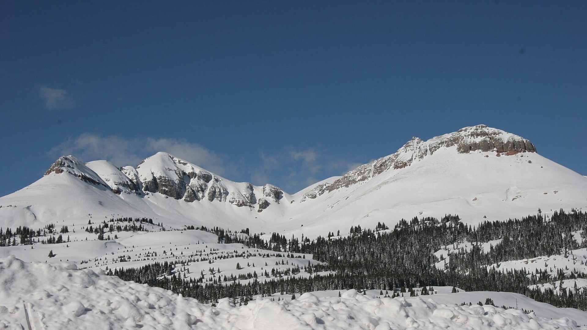
©Wikimedia / David Austin
10. Beartooth Pass, Wyoming
Traversing one of the most rugged high-altitude plateau environments in North America, Beartooth Pass links southern Montana with northern Wyoming near Yellowstone National Park. Sudden summer squalls drop temperatures instantly. Snow drifts linger year round.
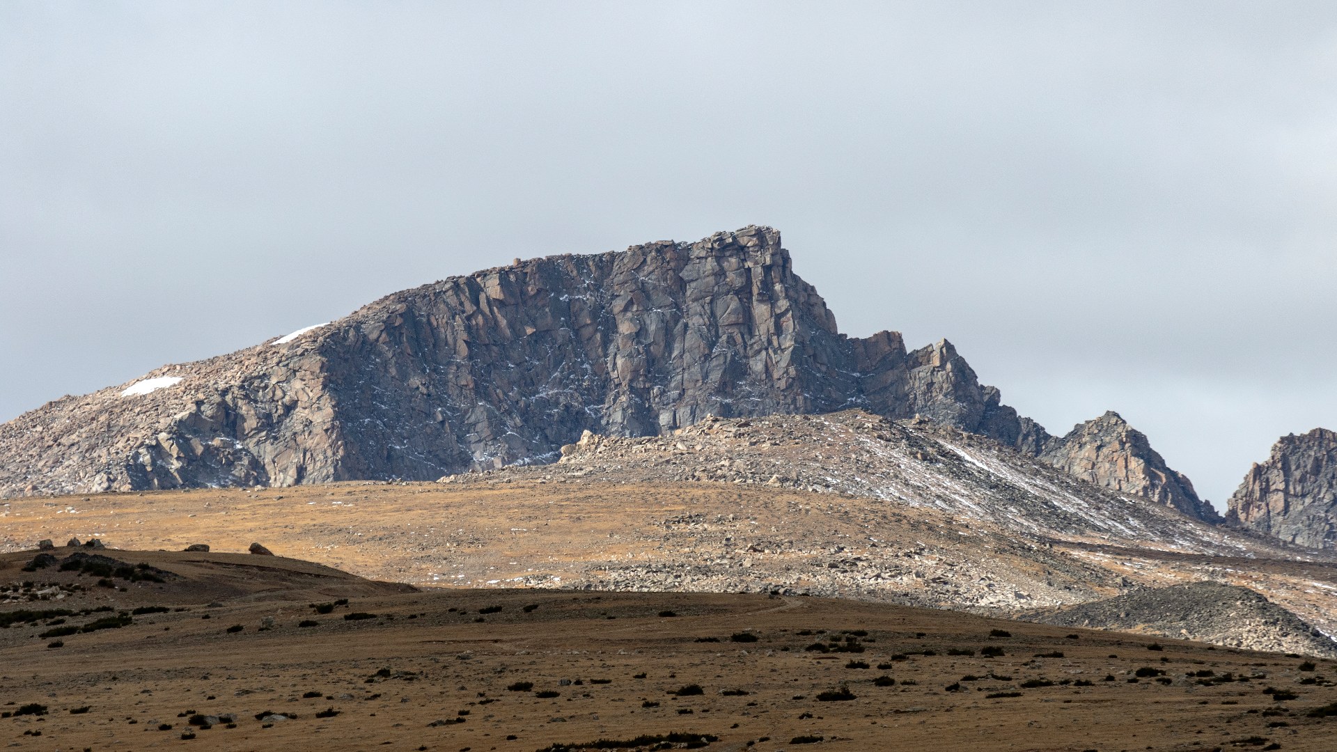
©Wikimedia / Acroterion
Advertisement
Swipe or tap ▶ to resume the countdown.
9. Red Mountain Pass, Colorado
Red Mountain Pass features sheer mountain precipices without guardrails along the famous Million Dollar Highway. Narrow rock shelves border the road. Ancient iron-rich mining waste glows orange along the canyon.
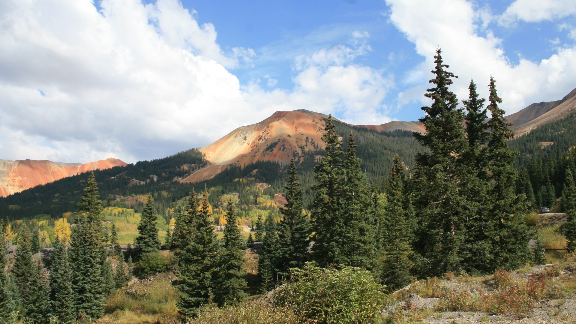
©Wikimedia / Andreas F. Borchert
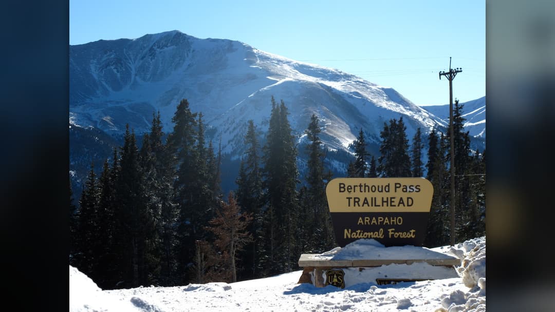
8. Berthoud Pass, Colorado
Berthoud Pass carries mountain traffic from Denver directly into the Fraser River valley across the Continental Divide. Avalanches menace exposed avalanche paths. Heavy plows patrol the asphalt constantly.
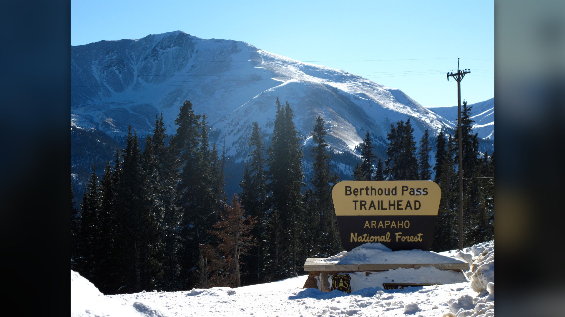
©Wikimedia / Paul Carroll
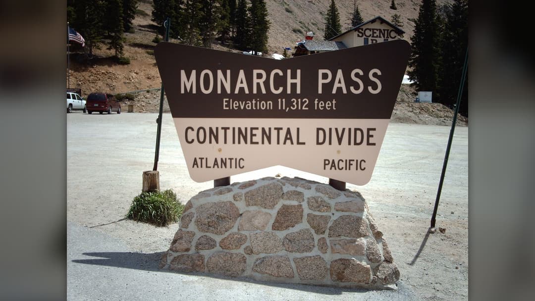
7. Monarch Pass, Colorado
Monarch Pass provides a critical east-west trucking arterial across the southern Sawatch Range along US Highway 50. Dense mountain clouds roll in swiftly. Drivers watch carefully for black ice.
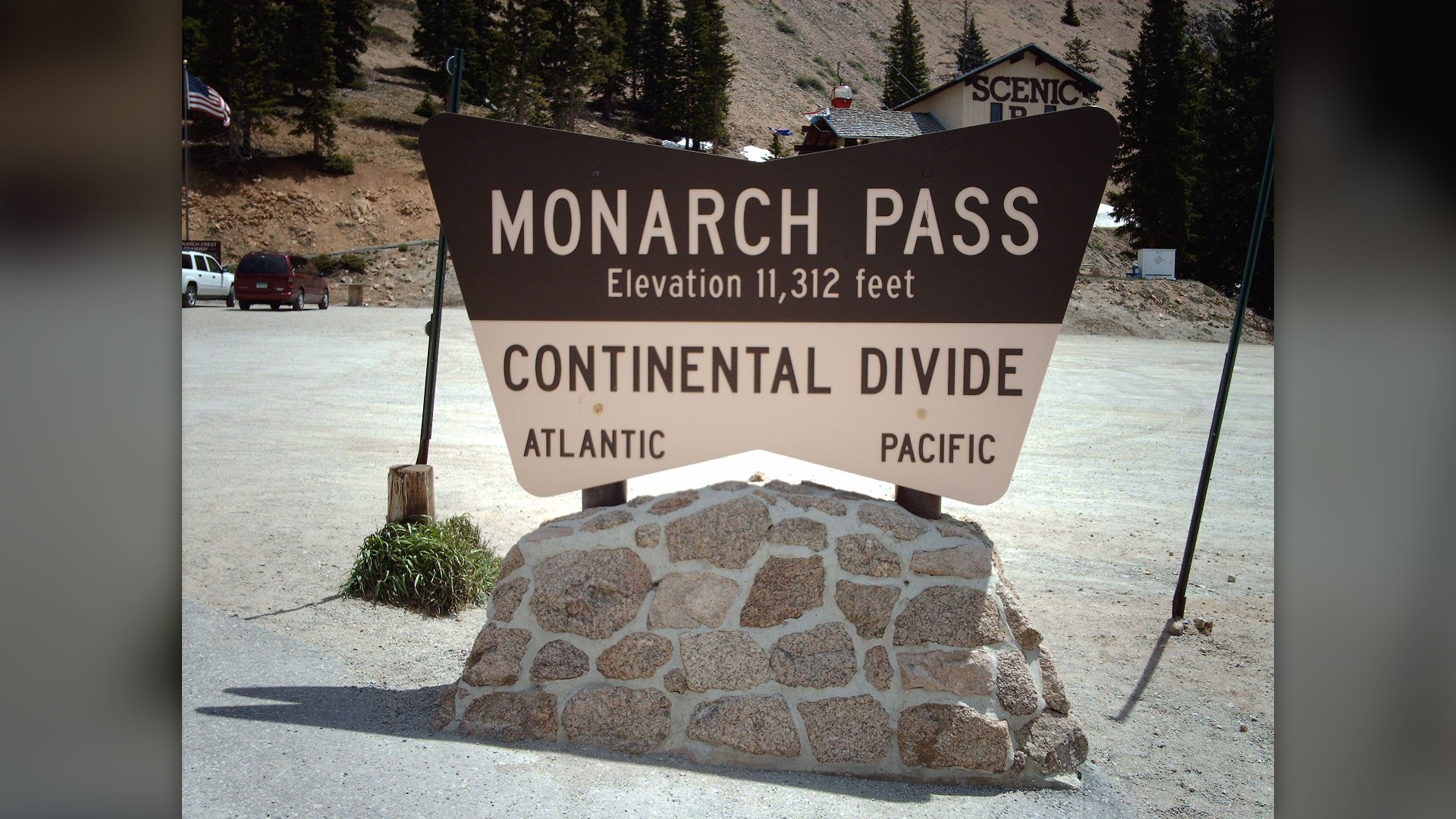
©Wikimedia / Nationalparks
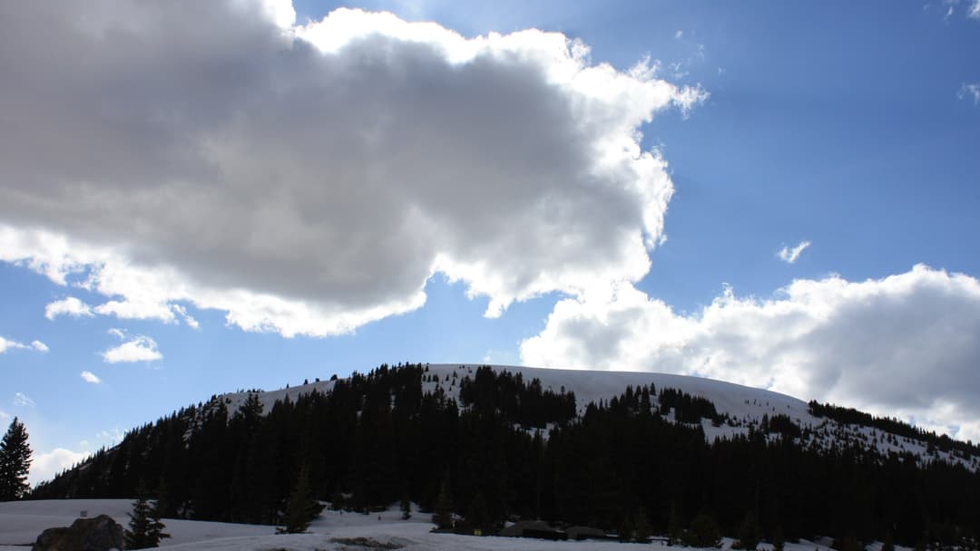
6. Fremont Pass, Colorado
Named for western explorer John Fremont, this pass crosses high ridges between Leadville and Summit County. Vast industrial molybdenum ponds border the highway. Subalpine lodgepole pines frame the winding mountain road.
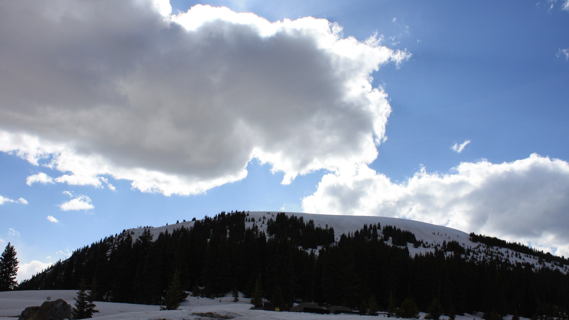
©Wikimedia / David Herrera
Advertisement
Swipe or tap ▶ to resume the countdown.
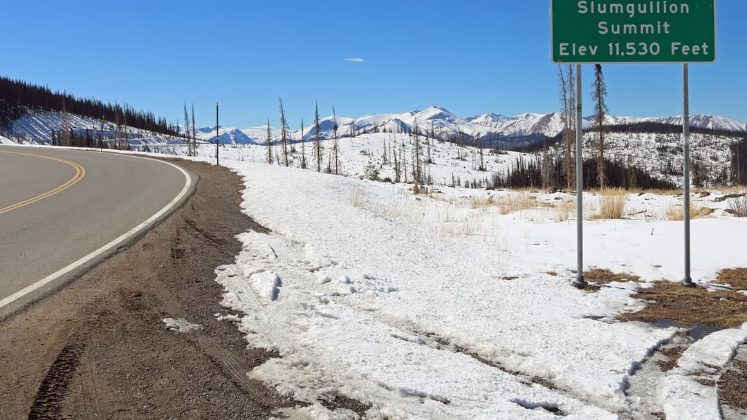
5. Slumgullion Pass, Colorado
Slumgullion Pass crosses the ancient natural mudflow that dammed the Lake Fork of the Gunnison River centuries ago. Steep nine percent highway grades punish truck transmissions. Deep alpine wilderness silence reigns.
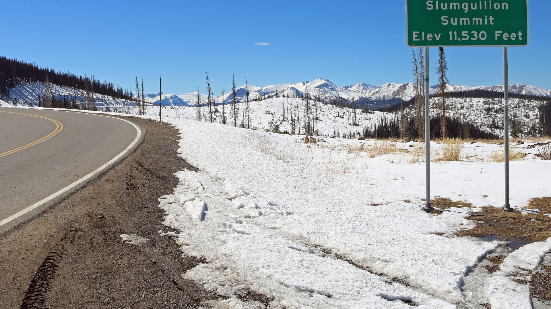
©Wikimedia / Jeffrey Beall
4. Hoosier Pass, Colorado
Pioneering miners from Indiana named Hoosier Pass during the 1860 gold rush while prospecting high placer gravels. Towering fourteeners dominate the open skyline. Cold winds bite.
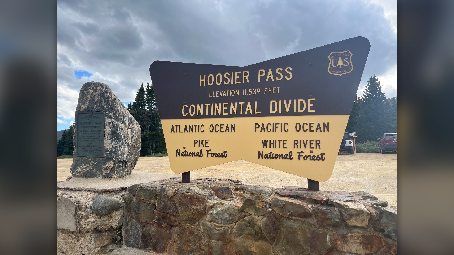
©Wikimedia / Gbear605
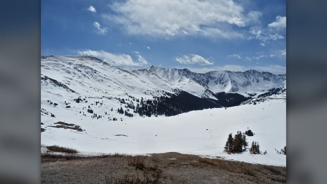
3. Loveland Pass, Colorado
Snaking along fragile tundra ridges, Loveland Pass accommodates hazardous cargo tankers barred from the Eisenhower Tunnel below. Sudden squalls obscure visibility completely. Sheer vertical cliffs loom directly above the mountain pavement.
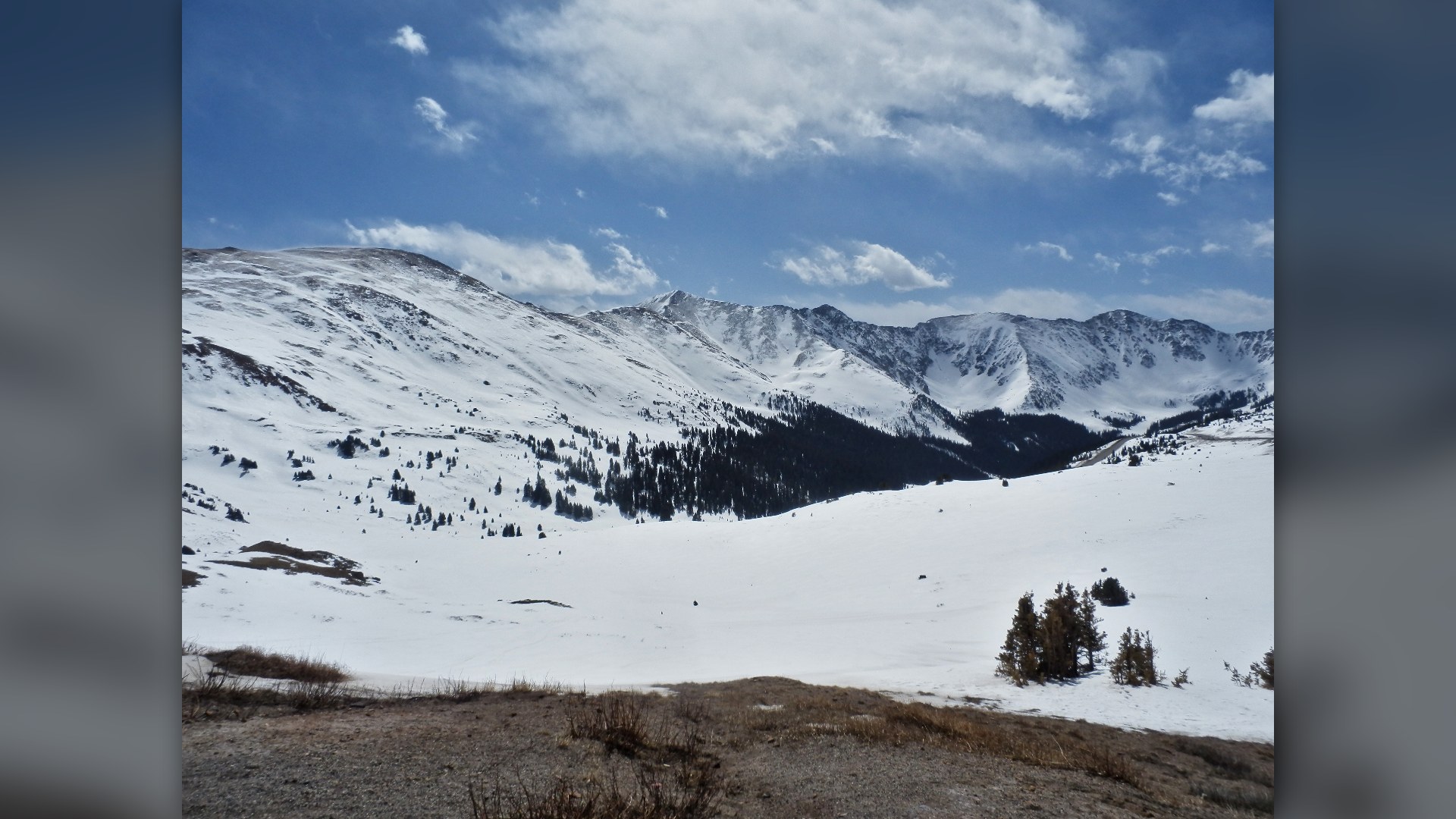
©Wikimedia / Alexander Migl
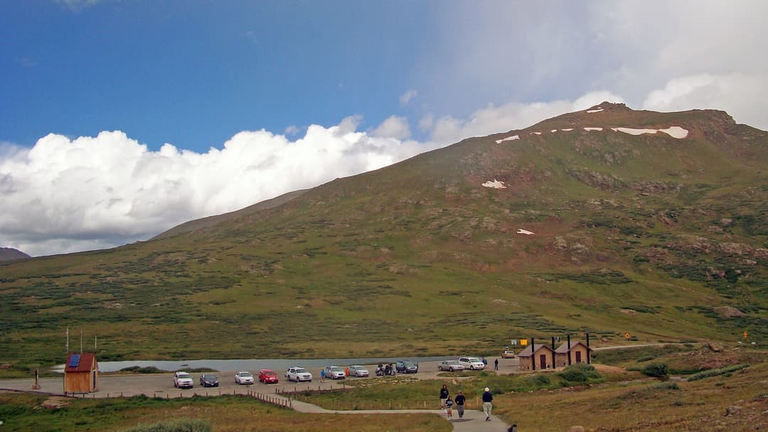
2. Independence Pass, Colorado
Carved into towering granite cliffs above the Roaring Fork Valley, Independence Pass features narrow single-lane ledges that cling directly to sheer vertical rock walls. Heavy freight trucks cannot fit. Deep winter snow closes the corridor for months.
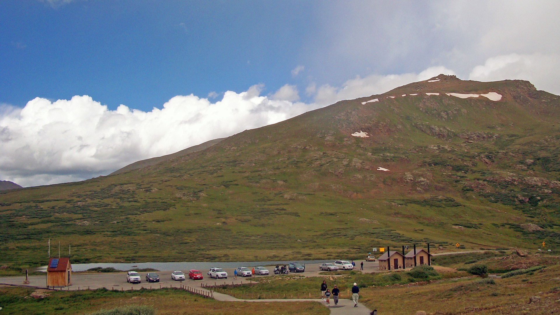
©Wikimedia / Daniel Case
Advertisement
Swipe or tap ▶ to resume the countdown.
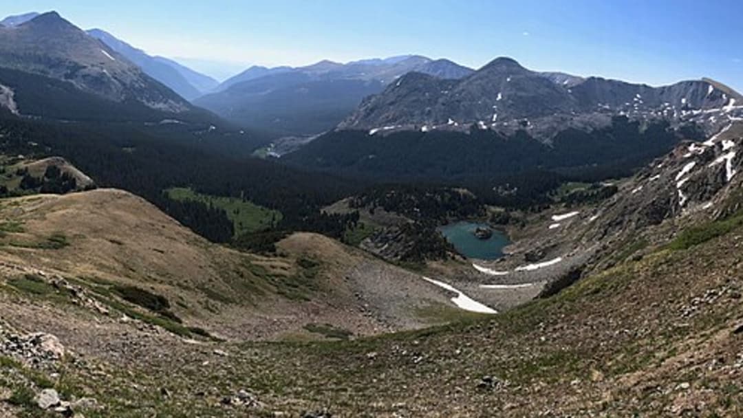
1. Cottonwood Pass, Colorado
Cottonwood Pass carries paved highway traffic directly across the Continental Divide between Buena Vista and Gunnison. Endless snow peaks stretch across the vast horizon. Crisp alpine mountain air surrounds the broad Continental Divide summit.
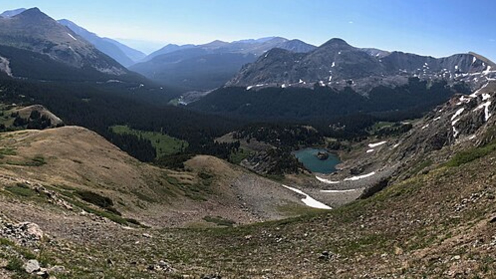
©Wikimedia / Roy Luck
Advertisement
You've reached the end of the story. Thanks for reading!

America's 25 Top Airlines Ranked for Comfort and Reliability
Flying across the United States involves choosing between massive network carriers, boutique regional operators, and budget fliers. Here is the definitive countdown of the 25 best US airlines.
All 20 Entries in this Story
20. Sonora Pass, California
Winding over remote alpine granite terrain, Sonora Pass links Tuolumne County with Mono County across the high crest of the central Sierra Nevada. Steep highway grades reach twenty-six percent. Heavy winter snowfalls close the corridor for months.

19. Tioga Pass, California
Tioga Pass marks the highest vehicular highway crossing in California, welcoming visitors into Yosemite National Park from the east. Ice lingers late into high summer. State snowplows spend weeks carving paths.

18. Kenosha Pass, Colorado
US Highway 285 climbs gently toward Kenosha Pass through dense groves of quaking aspen trees. Autumn leaves blaze bright gold across the hillsides. The vast South Park basin unfolds below.

17. Cameron Pass, Colorado
Cameron Pass separates the Never Summer Mountains from the jagged peaks of the Rawah Wilderness. Winter storms dump heavy snow across the pass. Dedicated state highway crews plow the mountain pavement daily.

16. Tennessee Pass, Colorado
Tennessee Pass provided essential railroad access through the Sawatch Range before modern highways arrived in Colorado. Historical signs commemorate the soldiers of Camp Hale. Road grades stay steady.

15. Coal Bank Pass, Colorado
Carved directly into sheer sandstone and granite cliffs, Coal Bank Pass tests drivers traveling between Durango and Silverton. Deep unprotected drop-offs line the road shoulder. Heavy winter snowfall accumulates fast.

14. Vail Pass, Colorado
Carrying four lanes of transcontinental interstate traffic, Vail Pass presents serious winter challenges for commercial semi trucks. Emergency runaway ramps wait below. Blizzards strike fast.

13. Milner Pass, Colorado
Milner Pass marks the exact alpine ridge where Atlantic and Pacific river drainages divide beside Poudre Lake. High tundra winds howl relentlessly. Large herds of Rocky Mountain elk feed quietly nearby.

12. Wolf Creek Pass, Colorado
Averaging over four hundred inches of winter powder, Wolf Creek Pass receives more snow than anywhere else in Colorado. Giant state rotary plows clear drifts. Vehicle engines lose substantial power.

11. Molas Pass, Colorado
Molas Pass rewards motorists with sweeping vistas across the rugged thirteeners of the Weminuche Wilderness. Thin alpine air reduces combustion efficiency. State highway crews keep the paved route open all winter.

10. Beartooth Pass, Wyoming
Traversing one of the most rugged high-altitude plateau environments in North America, Beartooth Pass links southern Montana with northern Wyoming near Yellowstone National Park. Sudden summer squalls drop temperatures instantly. Snow drifts linger year round.

9. Red Mountain Pass, Colorado
Red Mountain Pass features sheer mountain precipices without guardrails along the famous Million Dollar Highway. Narrow rock shelves border the road. Ancient iron-rich mining waste glows orange along the canyon.

8. Berthoud Pass, Colorado
Berthoud Pass carries mountain traffic from Denver directly into the Fraser River valley across the Continental Divide. Avalanches menace exposed avalanche paths. Heavy plows patrol the asphalt constantly.

7. Monarch Pass, Colorado
Monarch Pass provides a critical east-west trucking arterial across the southern Sawatch Range along US Highway 50. Dense mountain clouds roll in swiftly. Drivers watch carefully for black ice.

6. Fremont Pass, Colorado
Named for western explorer John Fremont, this pass crosses high ridges between Leadville and Summit County. Vast industrial molybdenum ponds border the highway. Subalpine lodgepole pines frame the winding mountain road.

5. Slumgullion Pass, Colorado
Slumgullion Pass crosses the ancient natural mudflow that dammed the Lake Fork of the Gunnison River centuries ago. Steep nine percent highway grades punish truck transmissions. Deep alpine wilderness silence reigns.

4. Hoosier Pass, Colorado
Pioneering miners from Indiana named Hoosier Pass during the 1860 gold rush while prospecting high placer gravels. Towering fourteeners dominate the open skyline. Cold winds bite.

3. Loveland Pass, Colorado
Snaking along fragile tundra ridges, Loveland Pass accommodates hazardous cargo tankers barred from the Eisenhower Tunnel below. Sudden squalls obscure visibility completely. Sheer vertical cliffs loom directly above the mountain pavement.

2. Independence Pass, Colorado
Carved into towering granite cliffs above the Roaring Fork Valley, Independence Pass features narrow single-lane ledges that cling directly to sheer vertical rock walls. Heavy freight trucks cannot fit. Deep winter snow closes the corridor for months.

1. Cottonwood Pass, Colorado
Cottonwood Pass carries paved highway traffic directly across the Continental Divide between Buena Vista and Gunnison. Endless snow peaks stretch across the vast horizon. Crisp alpine mountain air surrounds the broad Continental Divide summit.