Slideshow · Technology
25 Aircraft and Satellites Used to Monitor Extreme Weather
From rugged hurricane hunters penetrating storm eyewalls to geostationary orbiters mapping lightning, here is the technology tracking extreme weather events.
By Most Viral Today
10 min ago

25 Weather Planes and Satellites Tracking Mega-Storms 
25. GPS Hurricane Dropsonde System 
24. NOAA-20 Polar Satellite 
23. WP-3D Orion Kermit - AdvertisementSwipe or tap ▶ to continue countdown

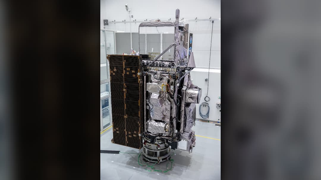
22. GOES-18 Weather Satellite 
21. WP-3D Orion Miss Piggy 
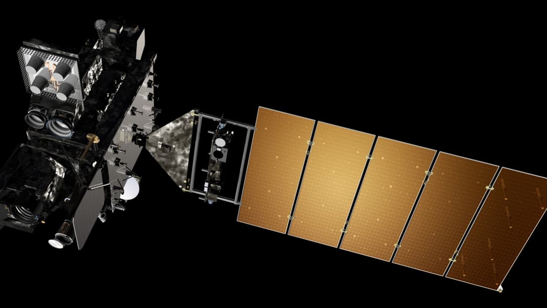
20. GOES-16 Weather Satellite 
19. USAF WC-130J Super Hercules - AdvertisementSwipe or tap ▶ to continue countdown

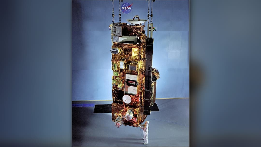
18. Terra Satellite And MODIS 
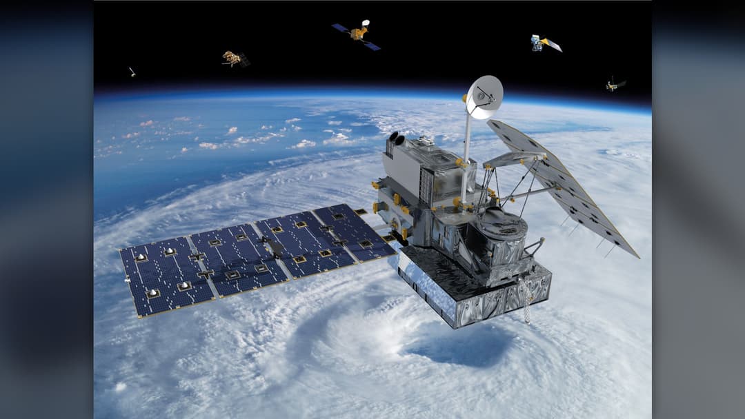
17. GPM Core Observatory 
16. NASA P-3 Orion Research Aircraft 
15. NOAA-21 Polar Weather Satellite - AdvertisementSwipe or tap ▶ to continue countdown

14. NOAA Gulfstream IV-SP Jet 
13. CYGNSS Satellite Constellation 
12. Suomi NPP Polar Satellite 
11. NASA DC-8 Airborne Science Lab - AdvertisementSwipe or tap ▶ to continue countdown

10. Sentinel-6 Michael Freilich 
9. Aqua Satellite And AIRS Instrument 
8. NOAA Beechcraft King Air 350CER 
7. MetOp Polar Weather Satellite - AdvertisementSwipe or tap ▶ to continue countdown

6. NASA ER-2 High-Altitude Aircraft 
5. Himawari-9 Weather Satellite 
4. NSF / NCAR Gulfstream V 
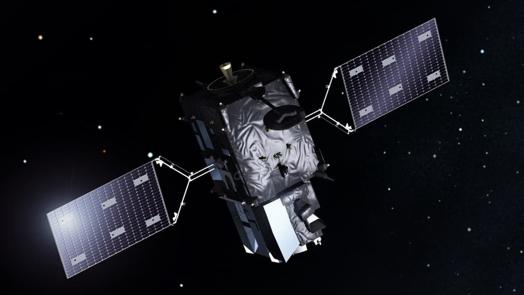
3. Meteosat Third Generation - AdvertisementSwipe or tap ▶ to continue countdown

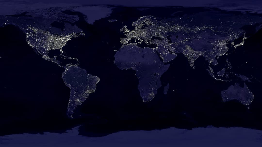
2. DMSP Weather Satellite 
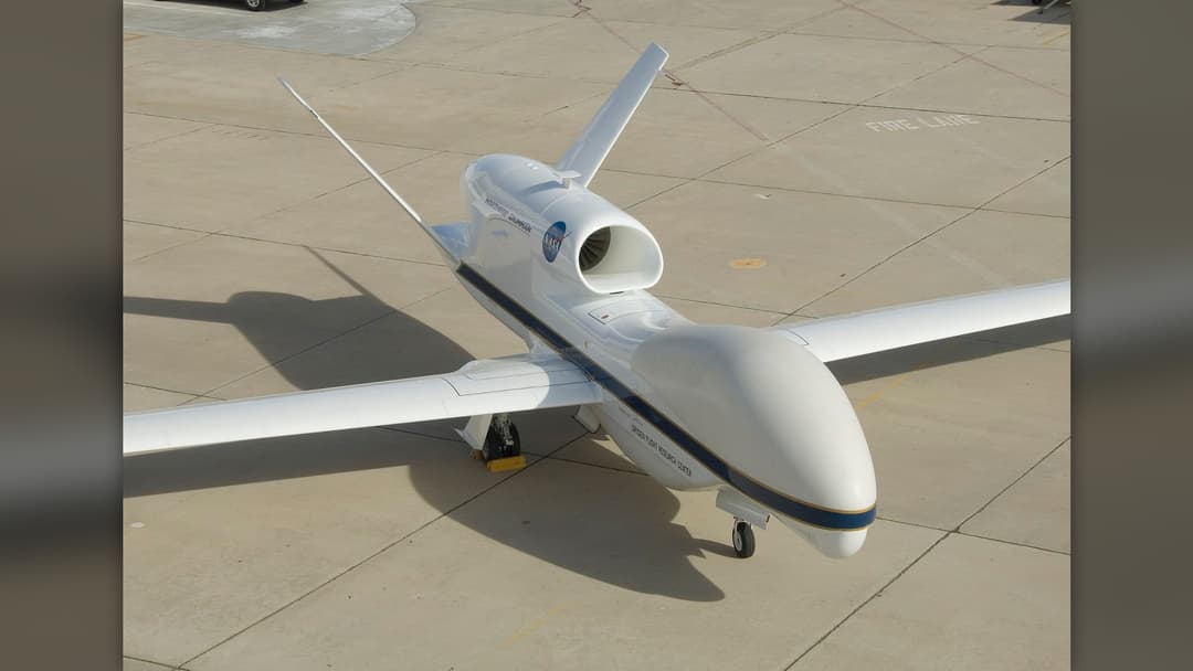
1. NASA Global Hawk Weather Drone - Advertisement🔥 UP NEXT IN THIS SERIES◫ 21 Slides

20 Tech Gadgets That Truly Changed The World
From the first viable EV to the device that put the internet in your pocket, these 20 tech products fundamentally altered our behavior, work, and social lives in the 21st century.
Specialized reconnaissance aircraft and advanced meteorological satellites monitor atmospheric dynamics, delivering vital data before disaster strikes.
Swipe or tap ▶ to begin the countdown
©Wikimedia / Aude
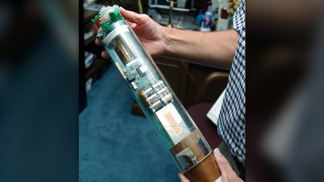
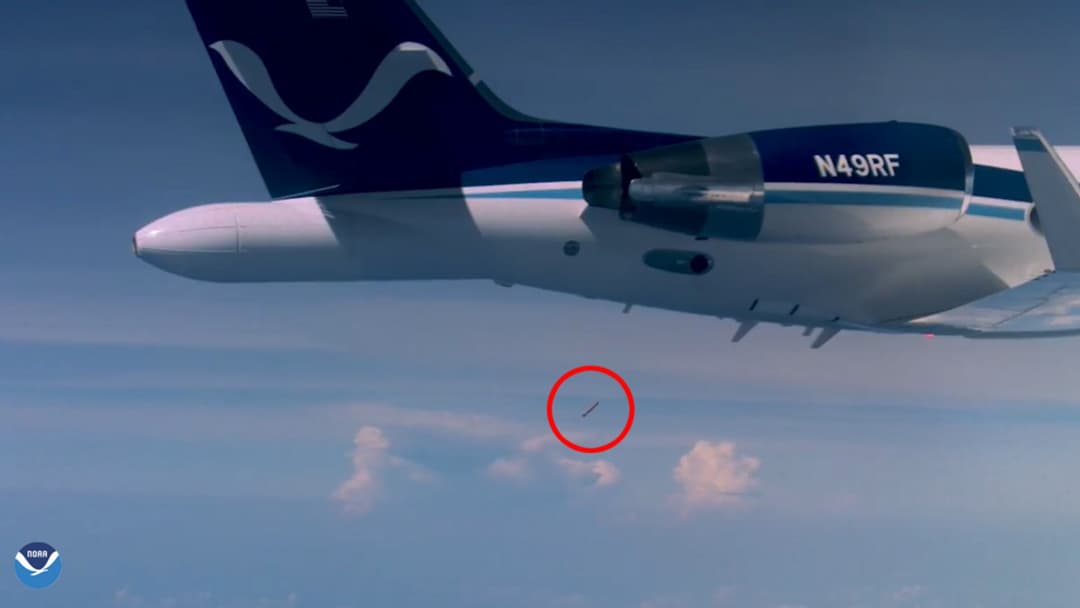
25. GPS Hurricane Dropsonde System
Dropped from planes inside the eyewall, dropsondes descend via parachute while transmitting high-frequency vertical wind and pressure profiles before splashing down.
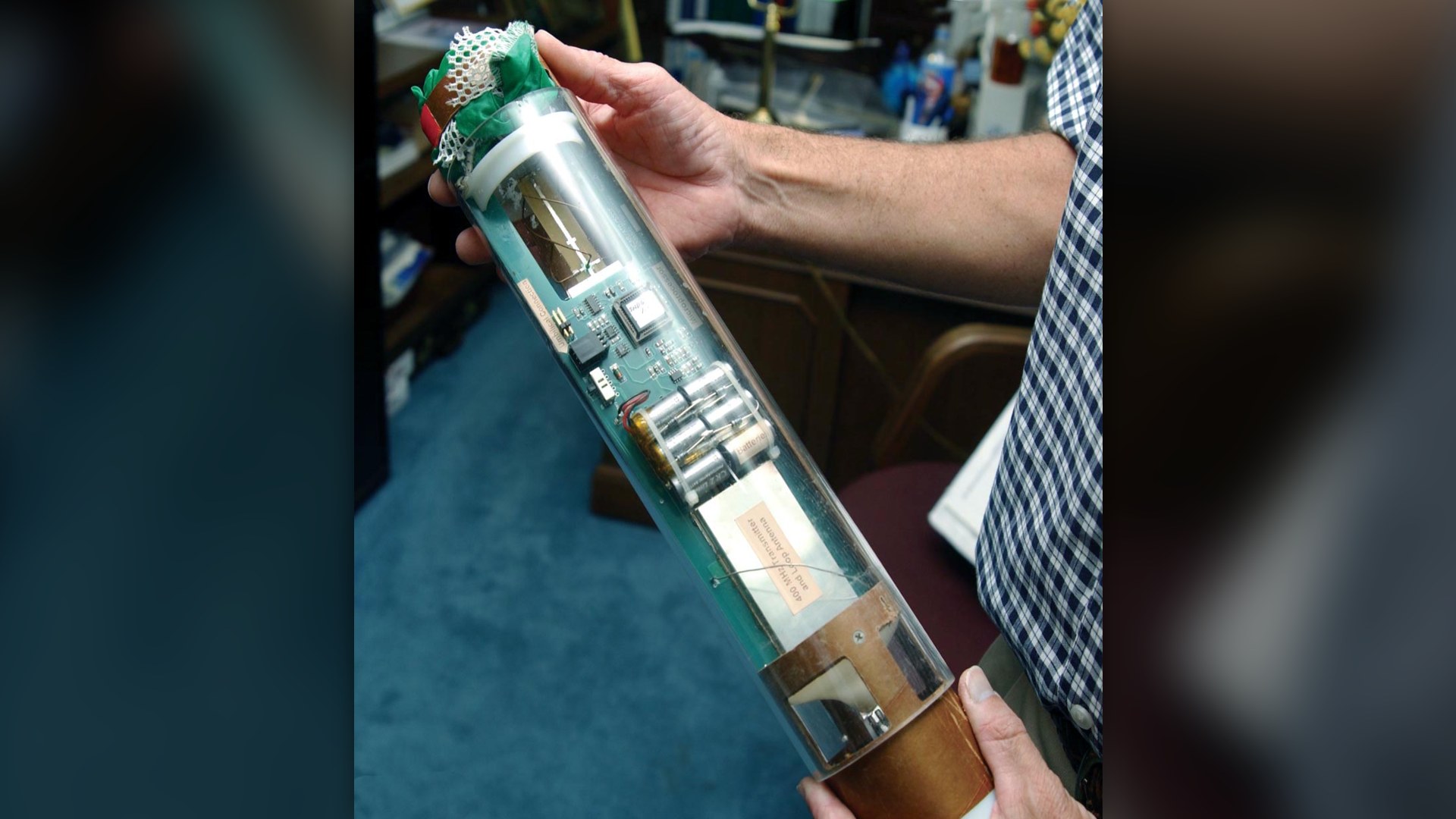
©Wikimedia / Staff Sgt. Randy Redman of the US Air Force
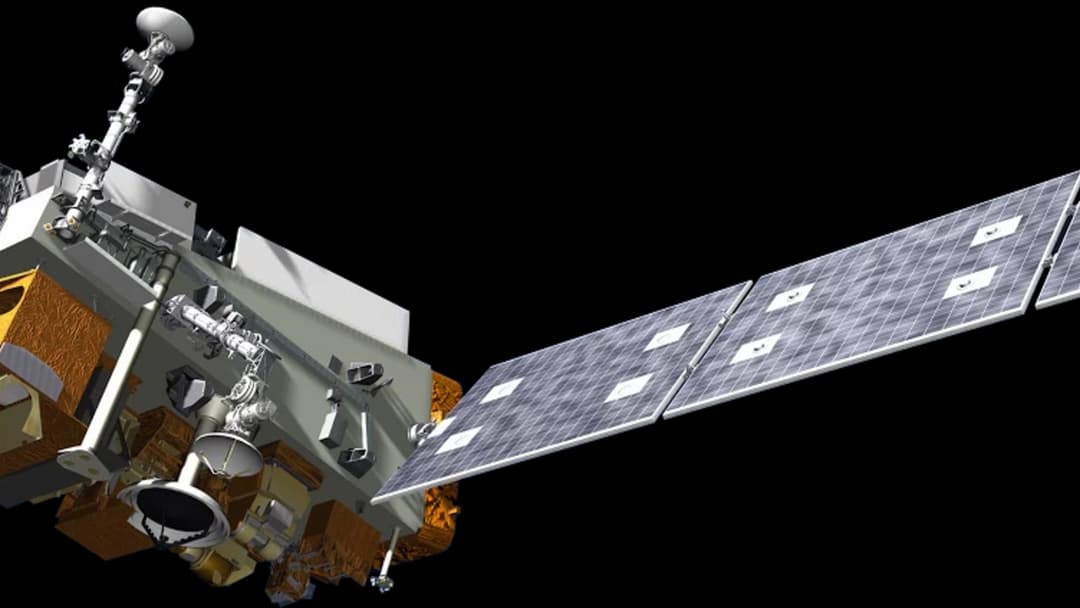
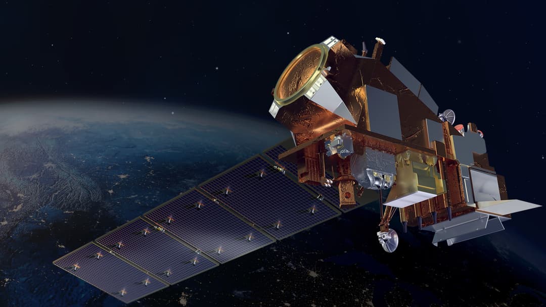
24. NOAA-20 Polar Satellite
Orbiting 512 miles above Earth, NOAA-20 circles the globe every 101 minutes, feeding global computer forecast models with essential severe weather telemetry.
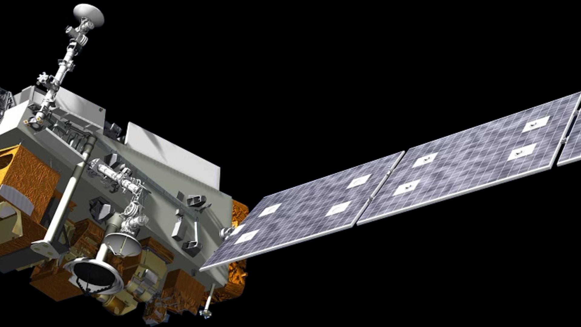
©Wikimedia / NASA
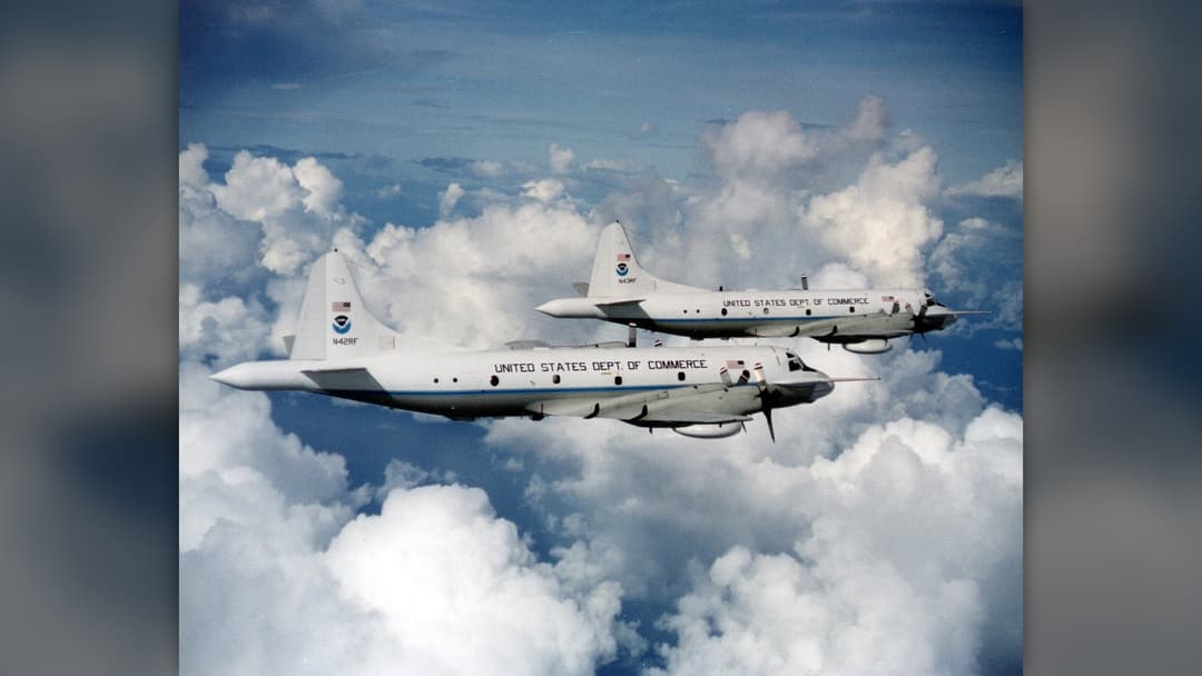
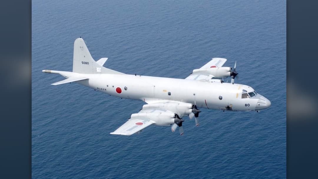
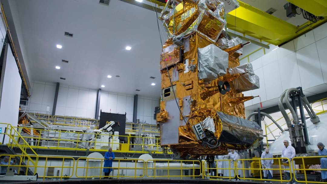
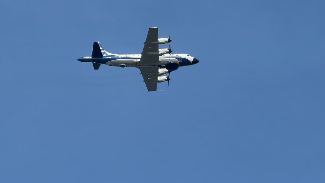
23. WP-3D Orion Kermit
Operating alongside Miss Piggy, Kermit flies directly into category five hurricanes, enduring severe g-forces while releasing parachute-guided dropsondes.
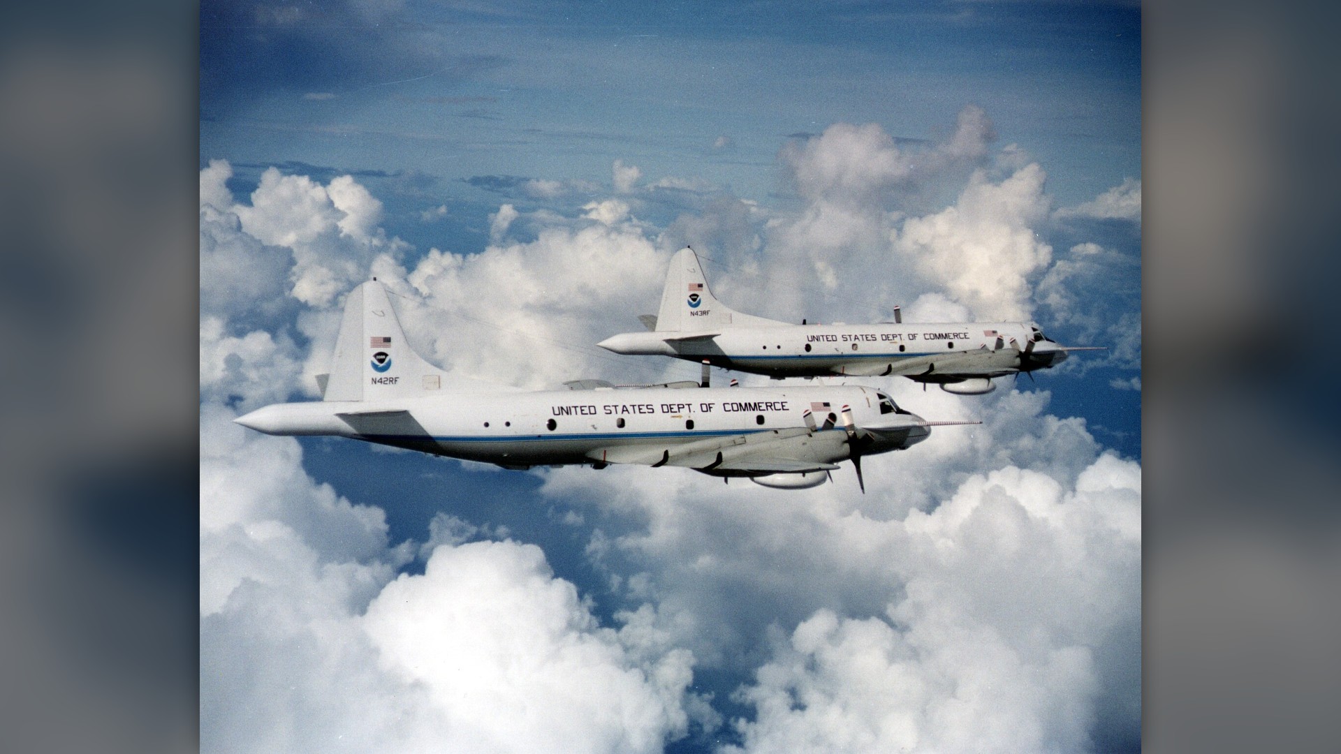
©Wikimedia / NOAA
Advertisement
Swipe or tap ▶ to resume the countdown.
22. GOES-18 Weather Satellite
GOES-18 monitors the eastern and central Pacific Ocean, detecting storm moisture plumes and tracking sudden atmospheric river landfalls along coastal regions.
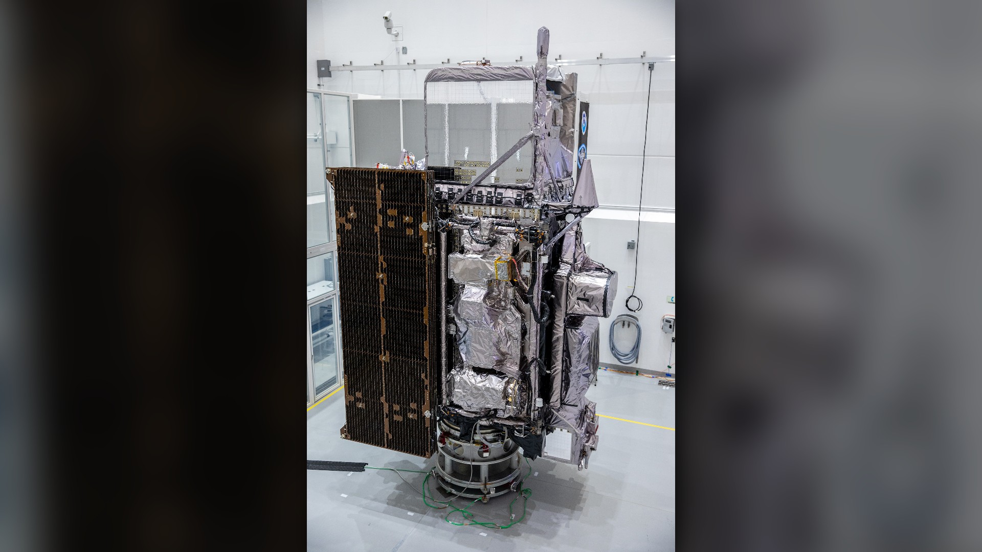
©Wikimedia / GOES-18
21. WP-3D Orion Miss Piggy
Nicknamed Miss Piggy, this reinforced NOAA aircraft has braved decades of eyewall penetrations to deliver critical real-time barometric readings from cyclone cores.

©Wikimedia / Unidentified NOAA photographer
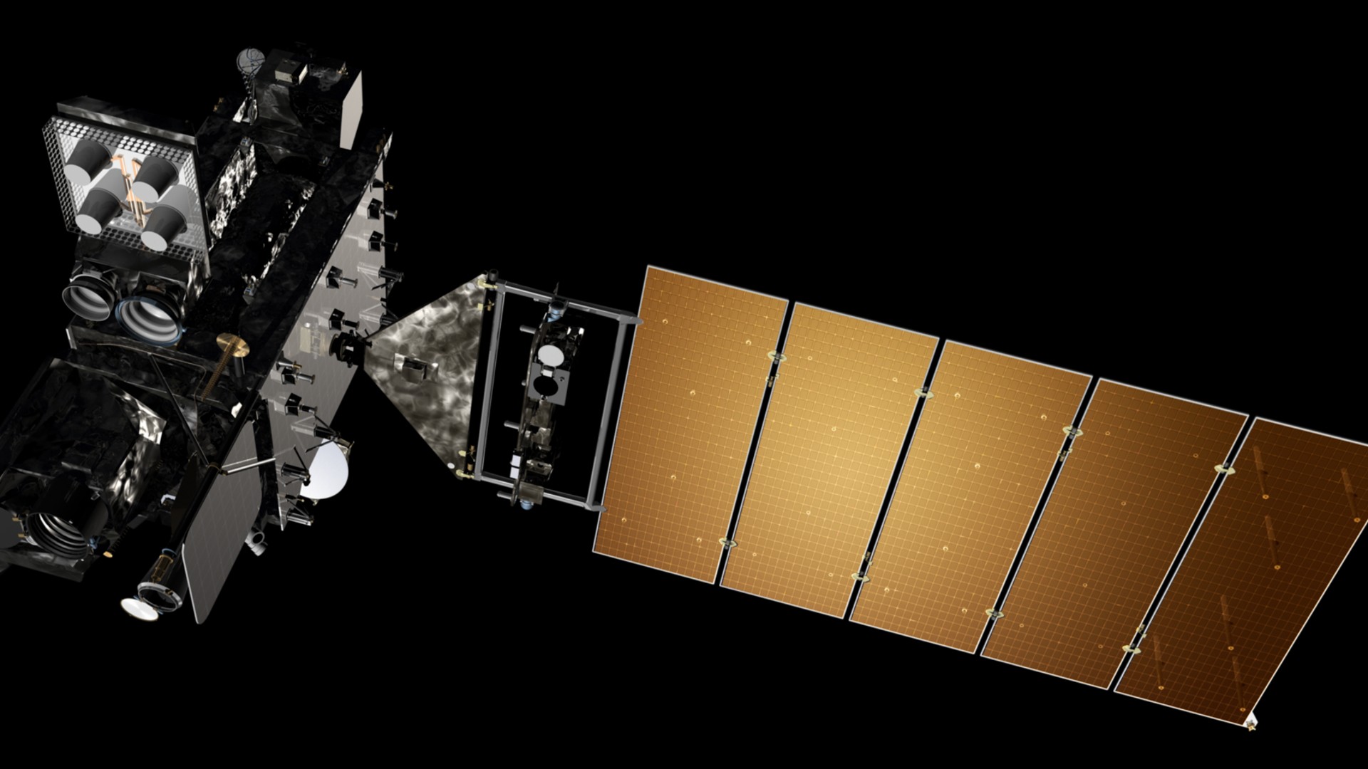
20. GOES-16 Weather Satellite
Stationed 22,236 miles above the equator, GOES-16 uses the Advanced Baseline Imager to stream near real-time updates as hurricanes approach the East Coast.
©Wikimedia / NOAA, Lockheed Martin
19. USAF WC-130J Super Hercules
Flown by the Air Force Reserve 53rd Weather Reconnaissance Squadron, the WC-130J penetrates storm centers to collect raw pressure and wind velocity data.

©Wikimedia / JTOcchialini
Advertisement
Swipe or tap ▶ to resume the countdown.
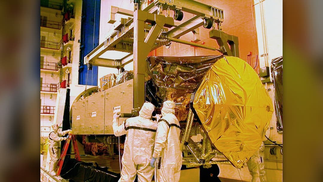
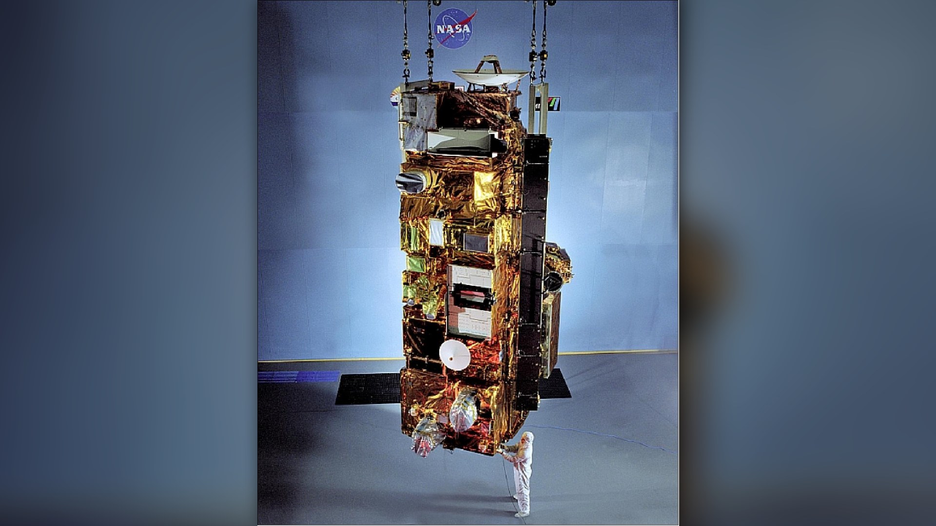
18. Terra Satellite And MODIS
Terra's Moderate Resolution Imaging Spectroradiometer produces the iconic visible and thermal storm images used daily by international forecasting agencies.
©Wikimedia / Unknown authorUnknown author
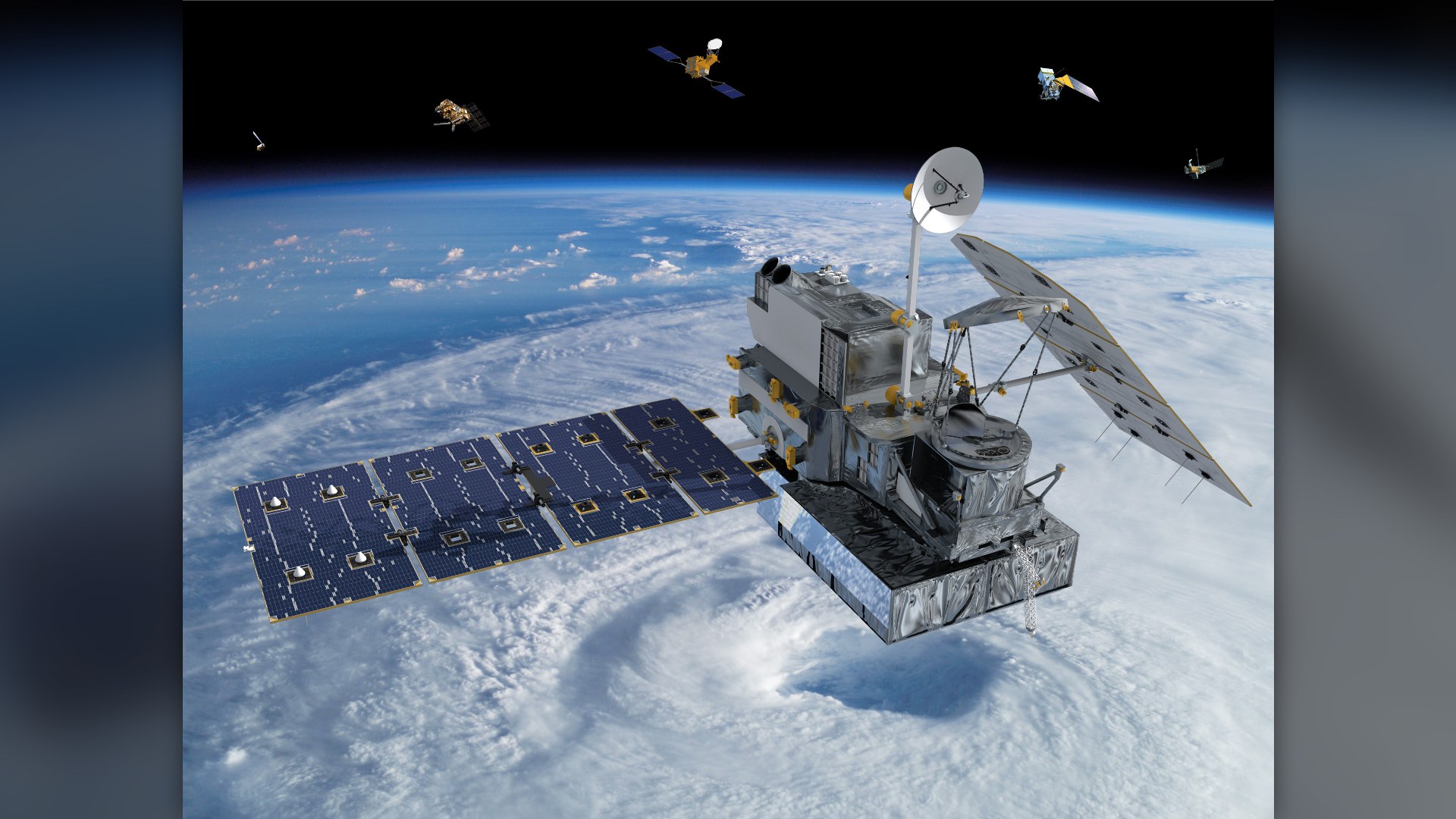
17. GPM Core Observatory
The Dual-frequency Precipitation Radar on GPM slices through clouds to map rain and ice density, revealing internal eyewall dynamics inside typhoons.
©Wikimedia / NASA
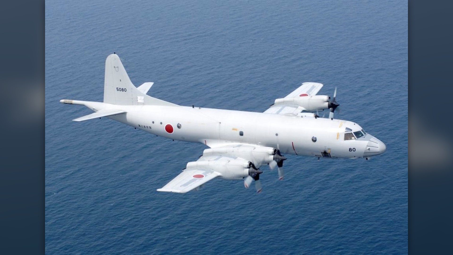
16. NASA P-3 Orion Research Aircraft
NASA's Wallops Flight Facility operates this modified P-3 Orion, deploying advanced remote sensing packages across oceanic storm tracks for atmospheric research.
©Wikimedia / Lockheed P-3 Orion
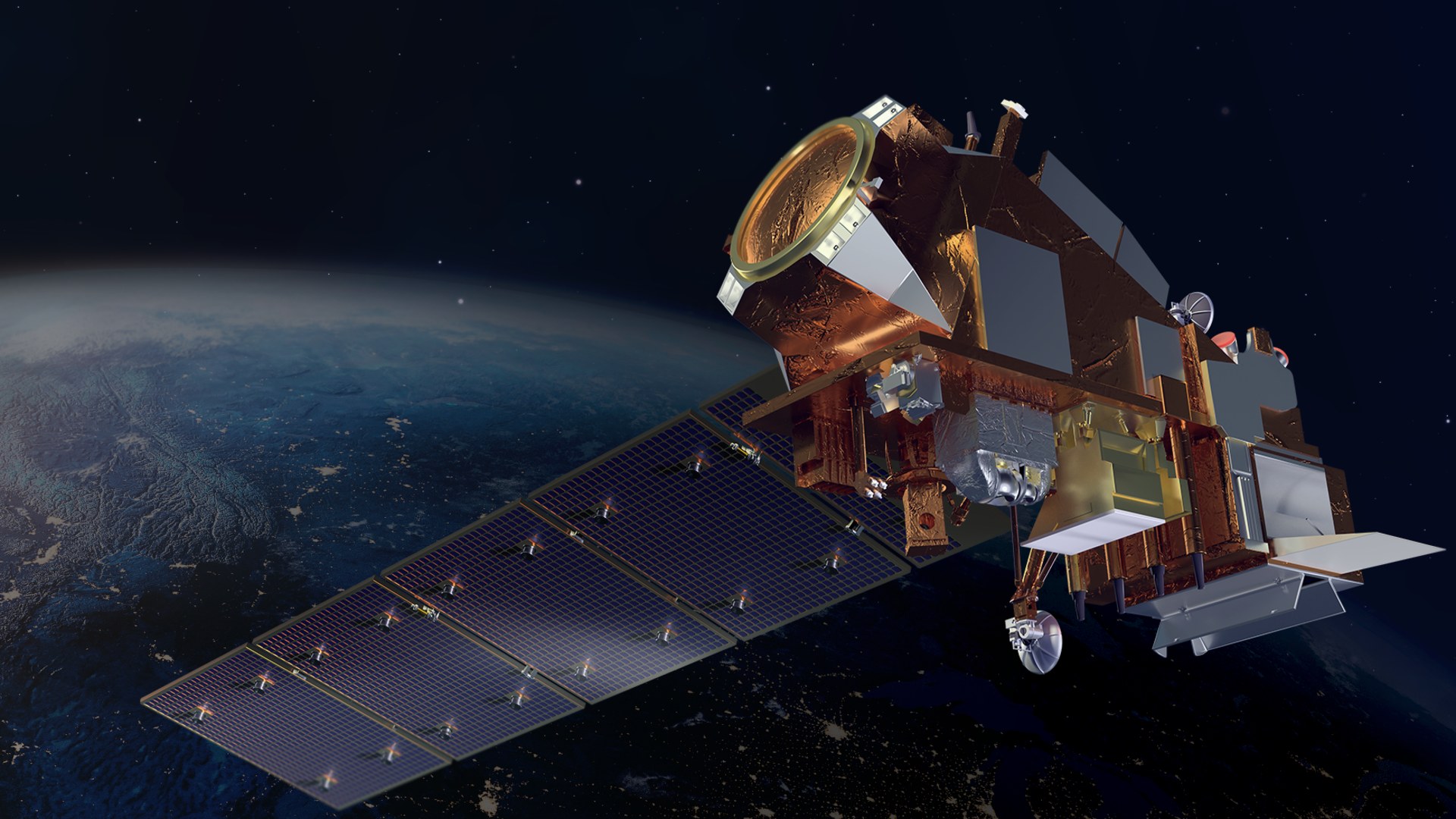
15. NOAA-21 Polar Weather Satellite
NOAA-21 delivers high-resolution radiometric imagery that helps meteorologists model cyclone trajectories hours before coastal evacuation alerts are issued.
©Wikimedia / NOAA
Advertisement
Swipe or tap ▶ to resume the countdown.
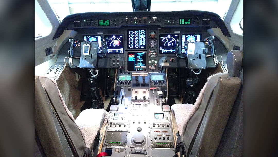
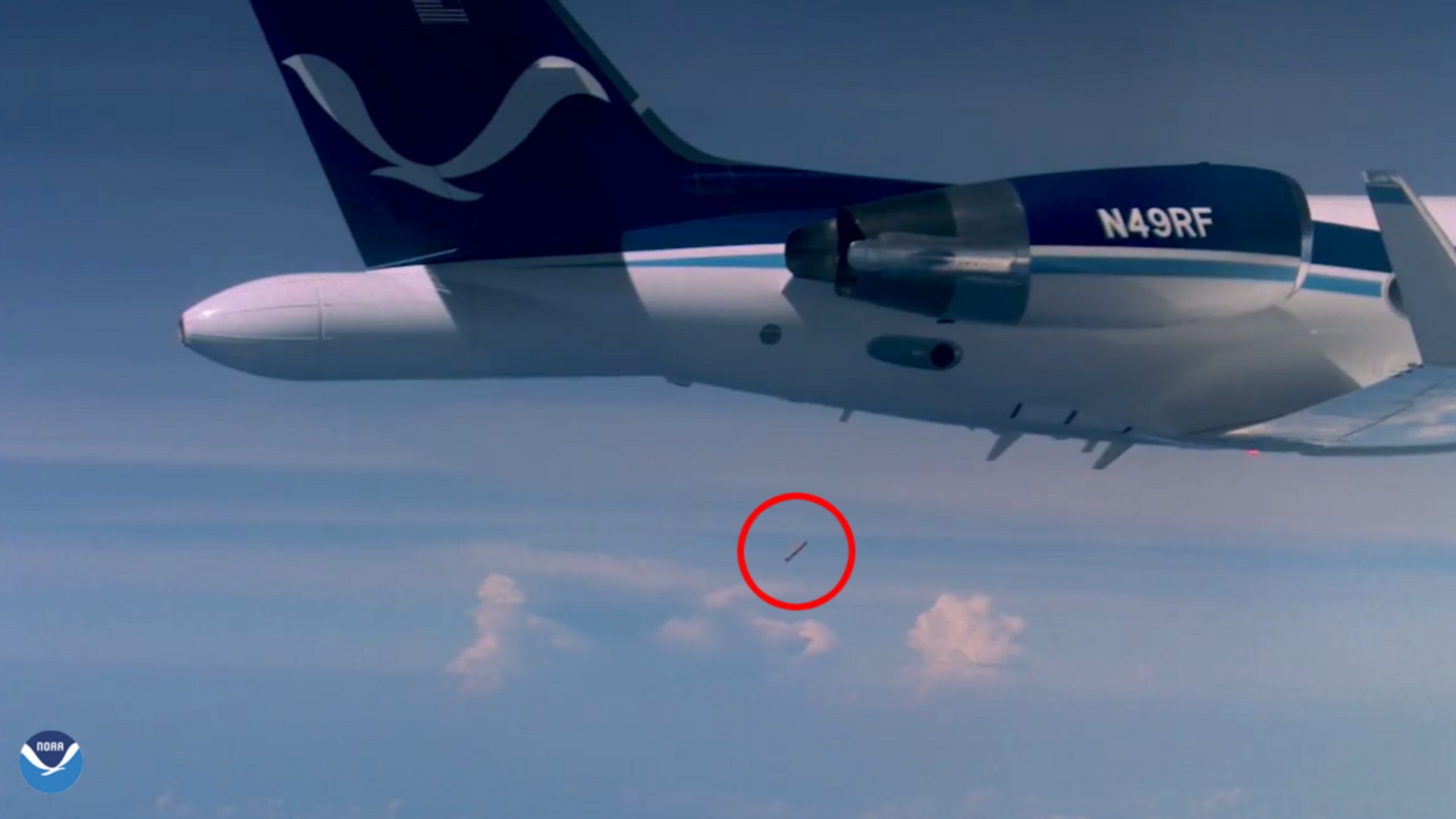
14. NOAA Gulfstream IV-SP Jet
Operating high above storm systems, NOAA's Gulfstream IV deploys GPS dropsondes across hundreds of nautical miles to forecast which direction hurricanes will turn.
©Wikimedia / NOAA’s Office of Marine and Aviation
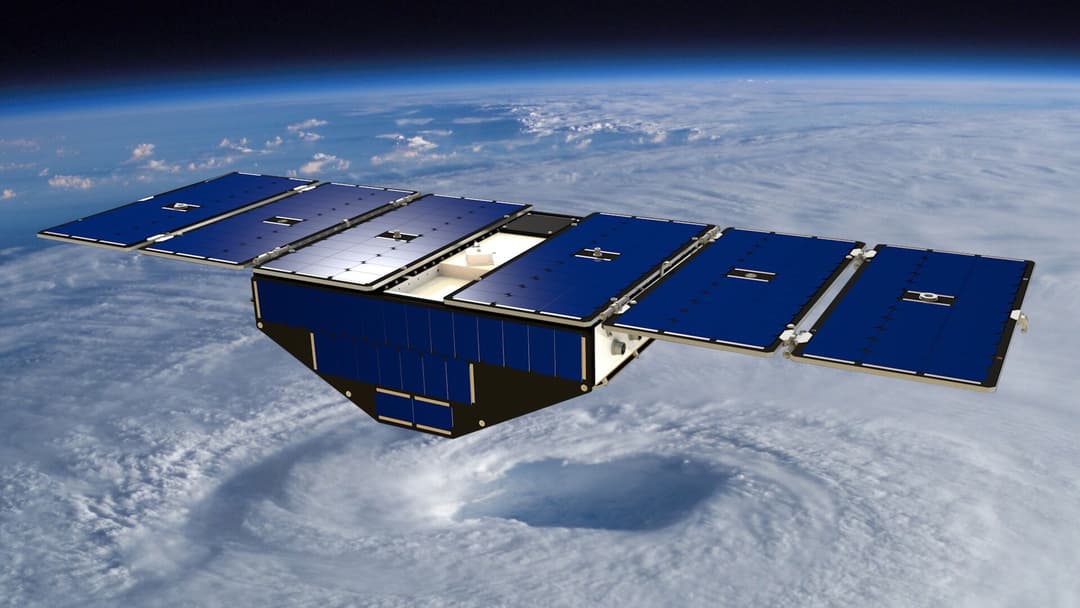
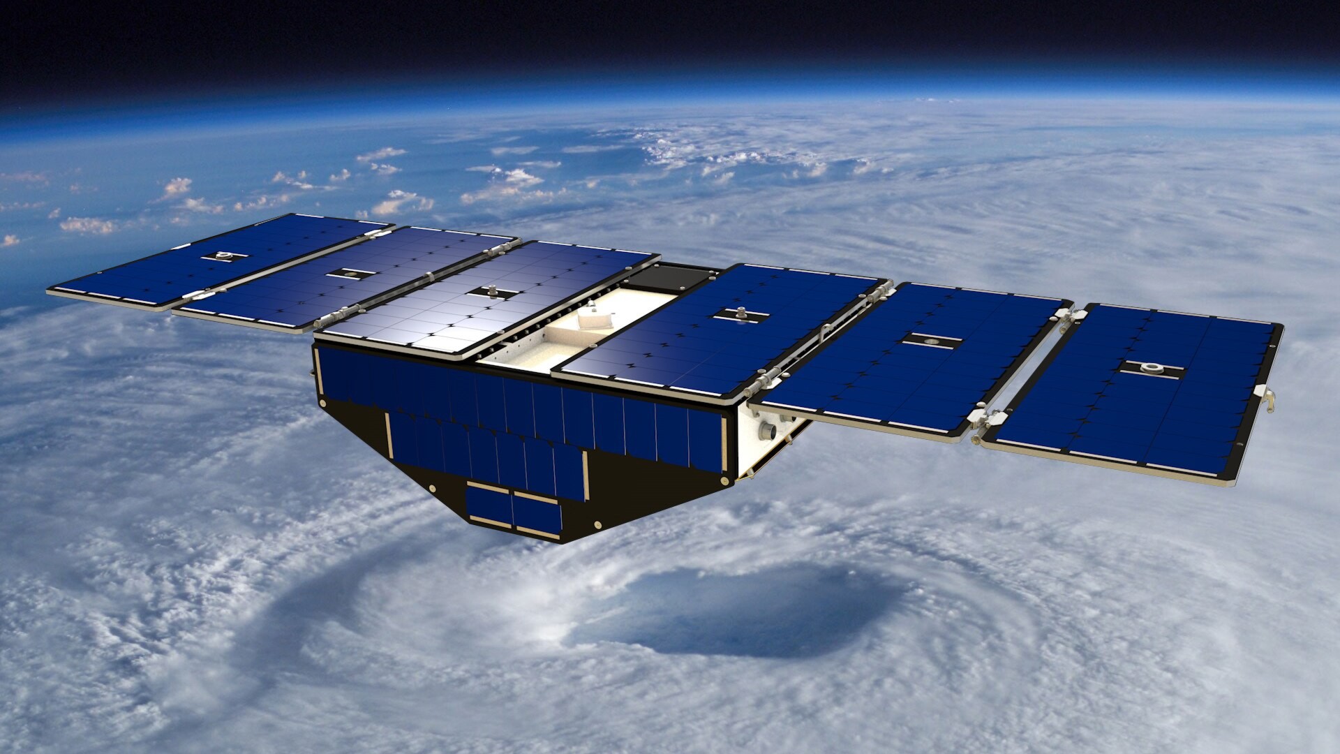
13. CYGNSS Satellite Constellation
NASA's Cyclone Global Navigation Satellite System constellation penetrates dense tropical rain to measure surface wind speeds often hidden from normal radar.
©Wikimedia / Wikimedia Contributor
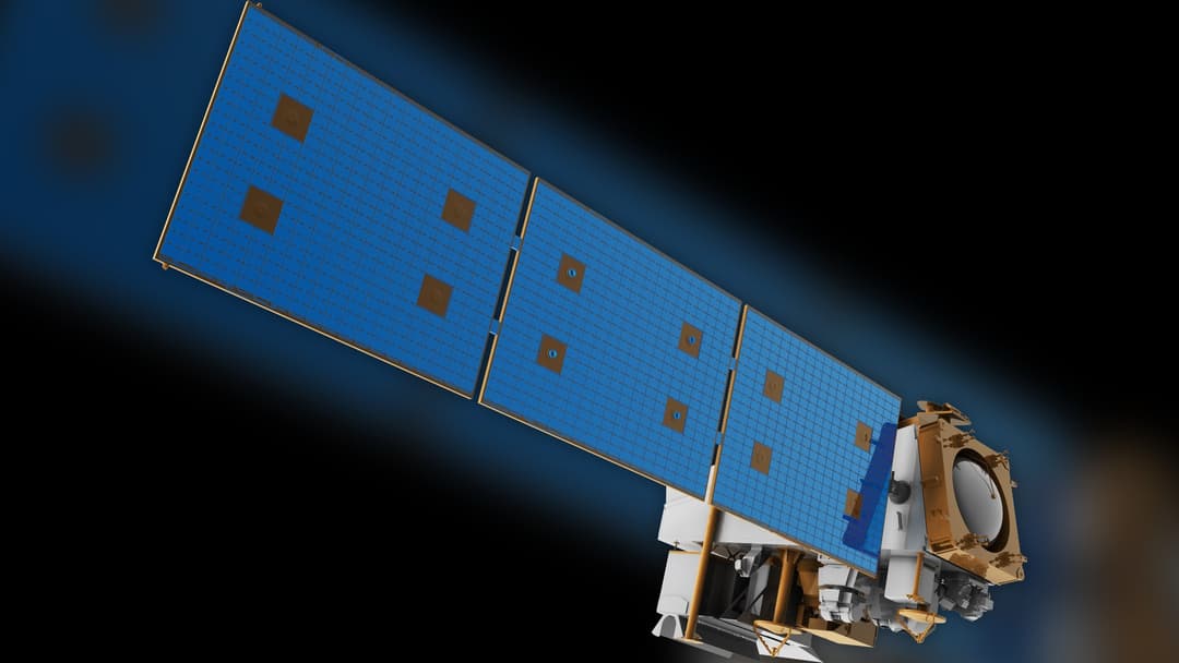
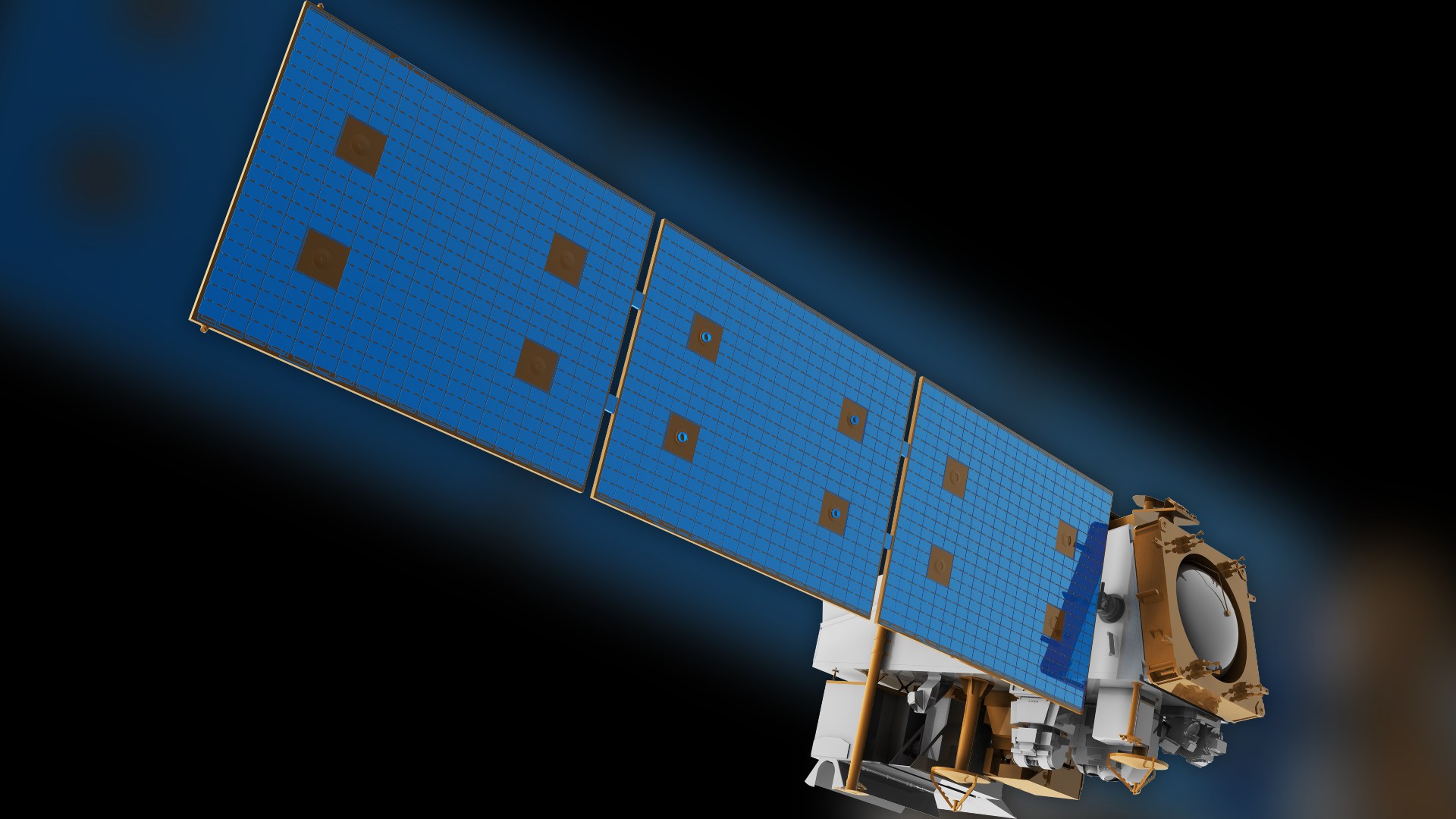
12. Suomi NPP Polar Satellite
Suomi NPP provides vital nocturnal views of cyclones using ultrasensitive light sensors, allowing forecasters to monitor storm centers without daylight.
©Wikimedia / NASA
11. NASA DC-8 Airborne Science Lab
NASA's modified DC-8 carries dozens of scientists and specialized air sensors, flying extended missions into marine storm zones to measure cloud microphysics.
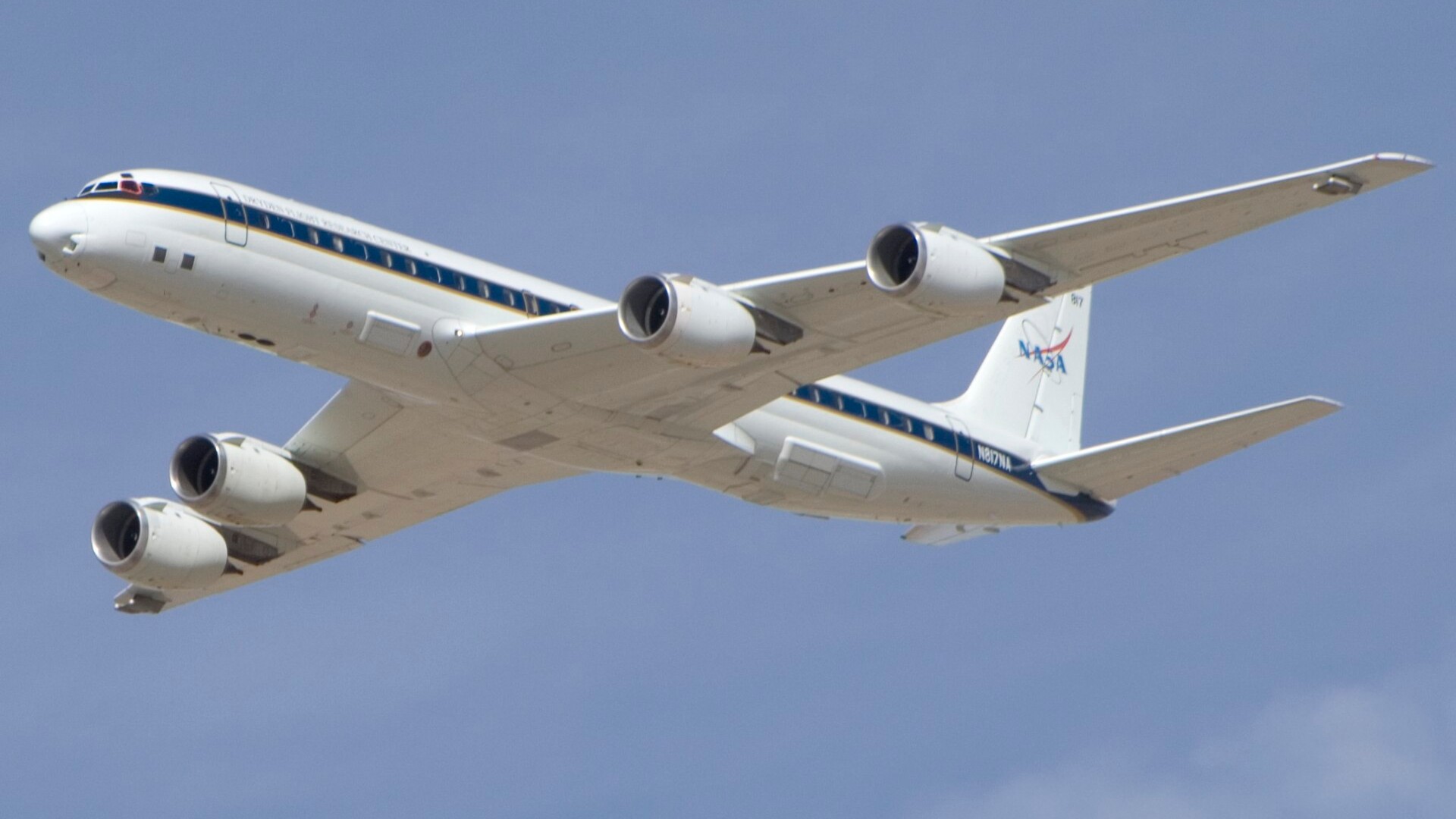
©Wikimedia / NASA, Tony Landis
Advertisement
Swipe or tap ▶ to resume the countdown.
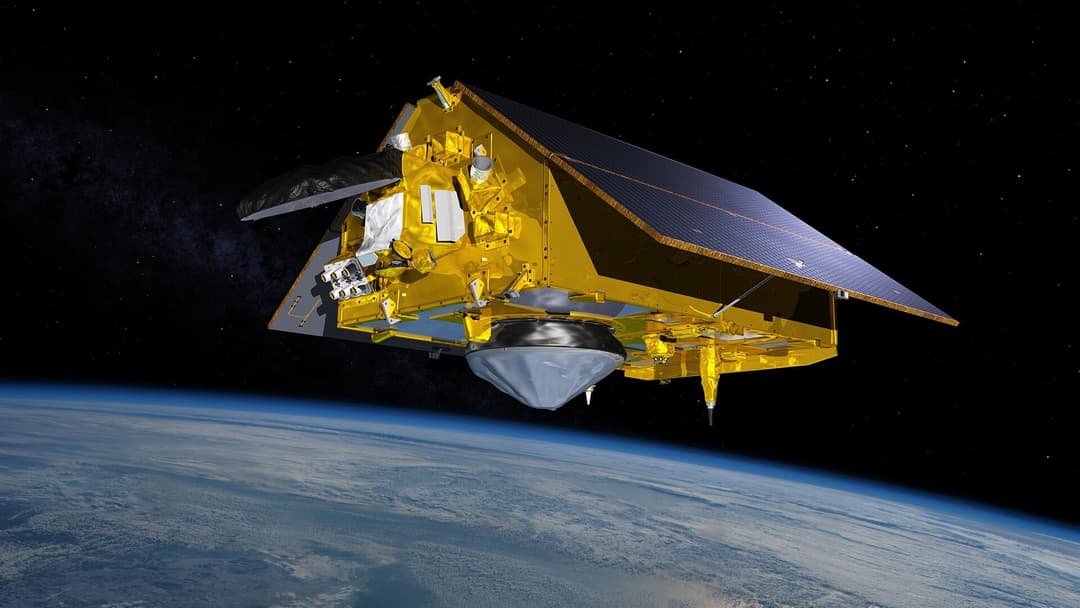
10. Sentinel-6 Michael Freilich
Jointly operated by NASA and ESA, Sentinel-6 maps ocean surface height to calculate the deep warm water layers that provide thermal energy for mega-storms.
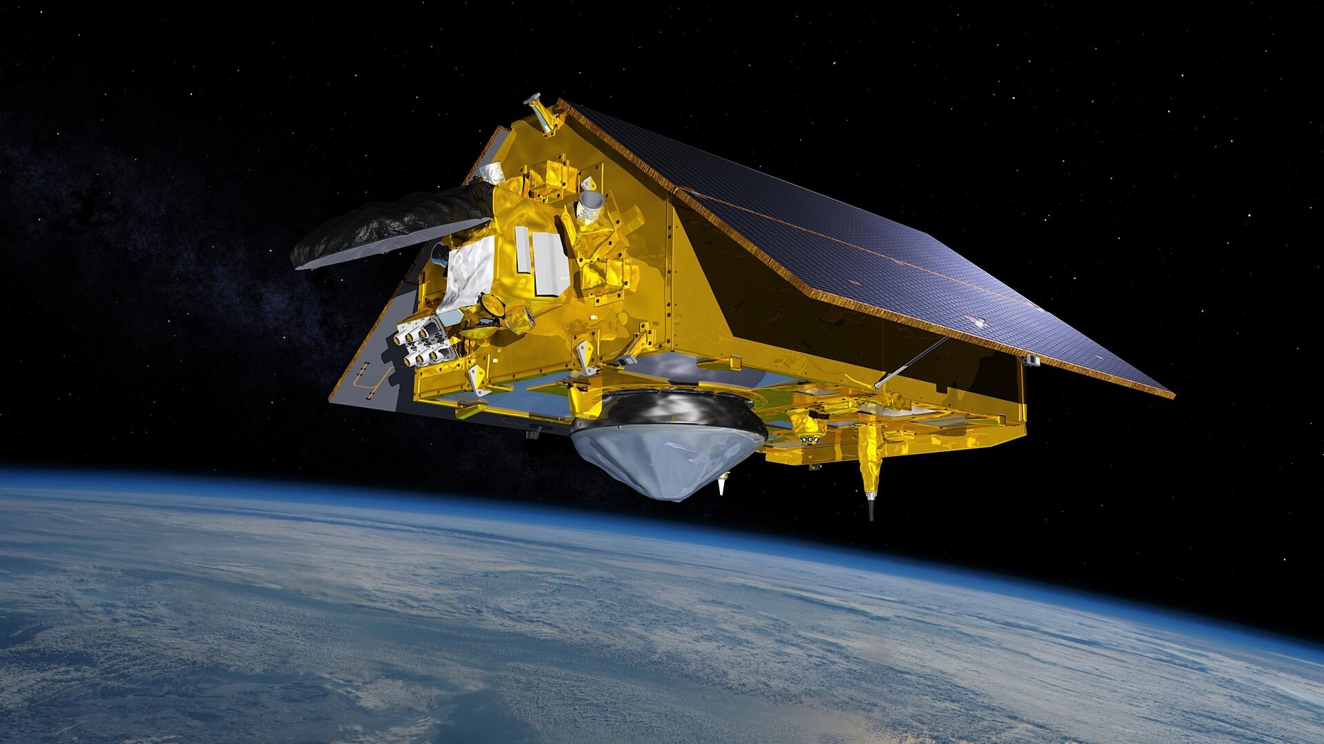
©Wikimedia / Sentinel-6 Michael Freilich
9. Aqua Satellite And AIRS Instrument
Aqua's Atmospheric Infrared Sounder measures heat and moisture in thousands of atmospheric channels, tracking latent heat that powers tropical storms.
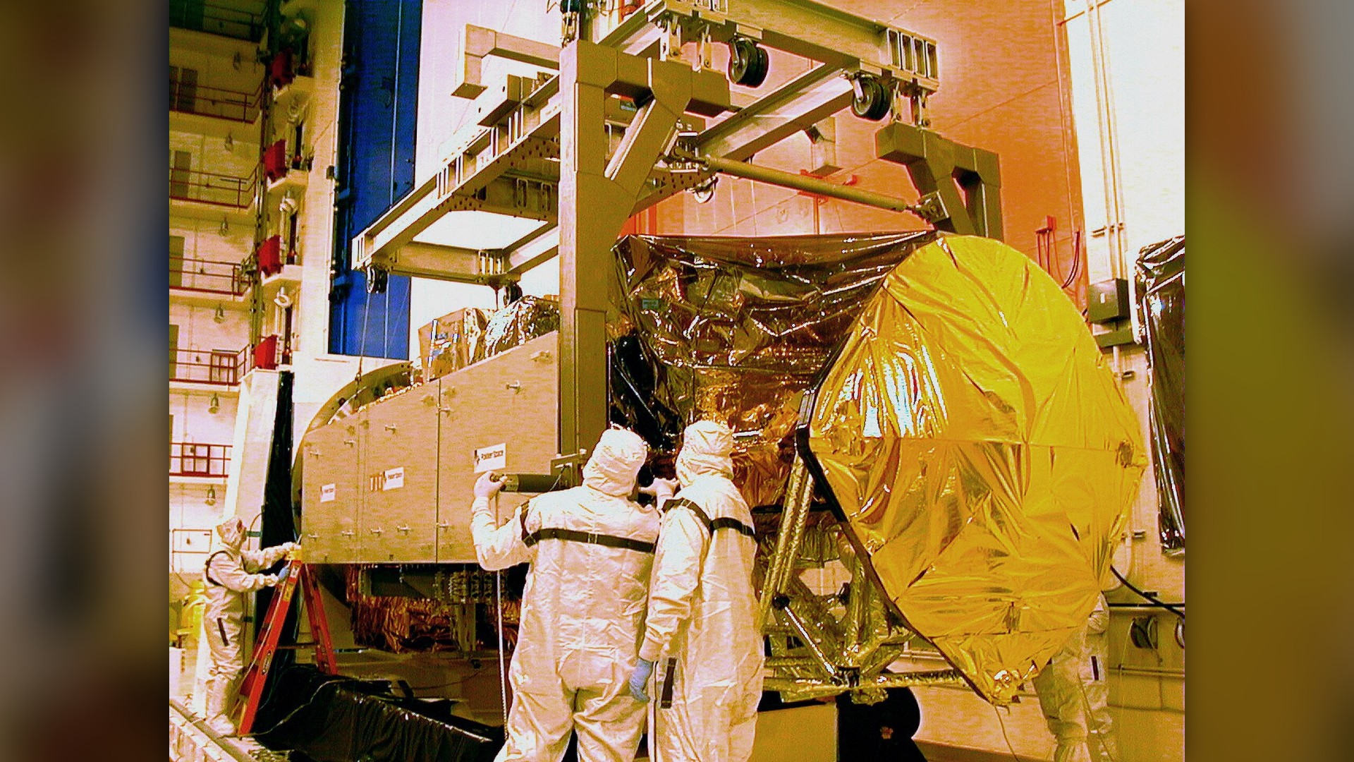
©Wikimedia / Atmospheric Infrared Sounder
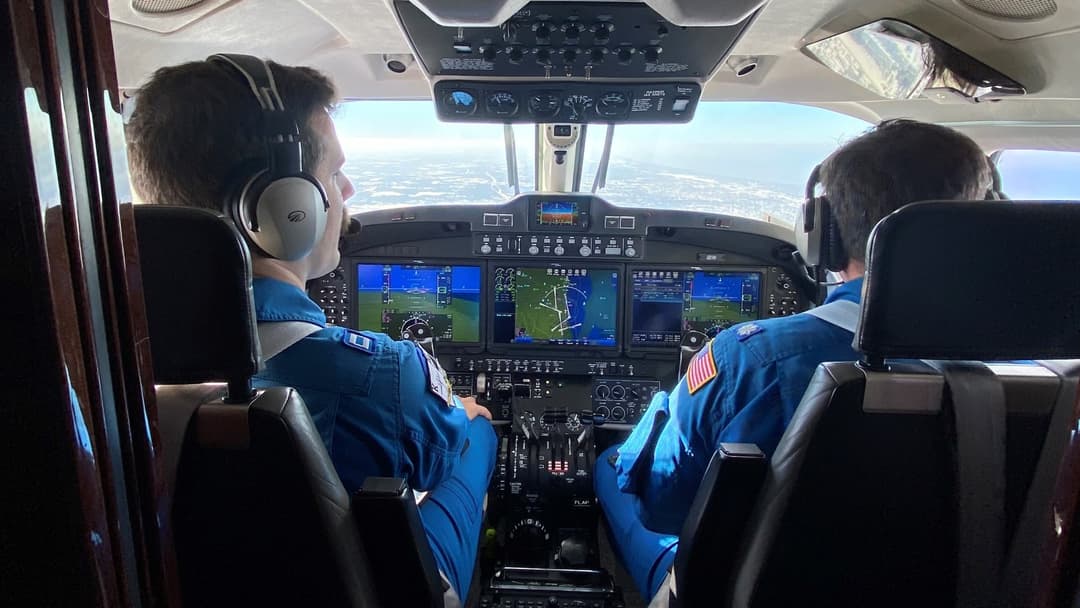
8. NOAA Beechcraft King Air 350CER
Equipped with specialized belly sensors and digital cameras, NOAA King Air planes survey inland surge damage and hydrological conditions immediately following landfall.
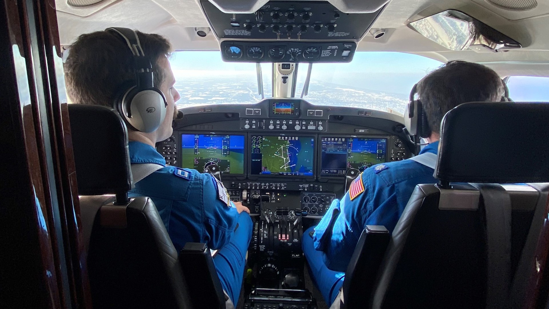
©Wikimedia / U.S. National Oceanic and Atmospheric
7. MetOp Polar Weather Satellite
MetOp spacecraft circle polar trajectories, providing crucial vertical temperature and moisture soundings that feed directly into numerical cyclone forecasting models.
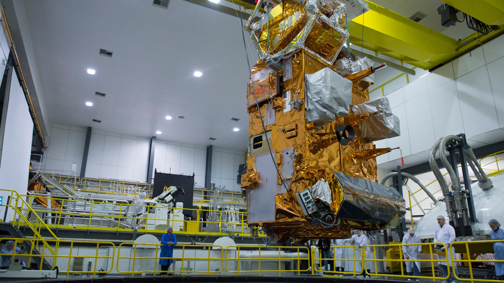
©Wikimedia / ESA–G. Porter
Advertisement
Swipe or tap ▶ to resume the countdown.
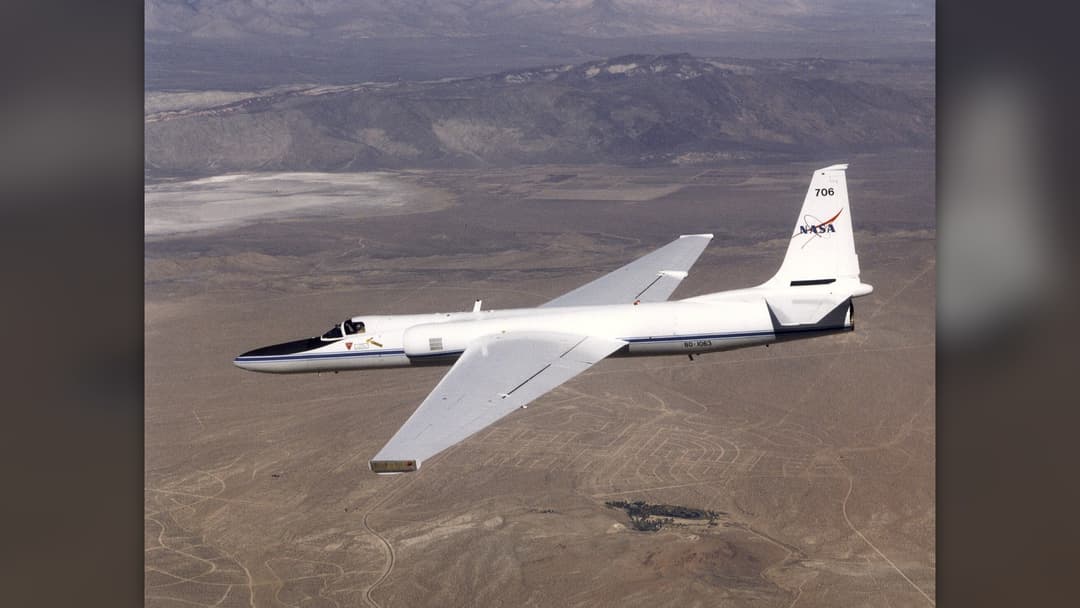
6. NASA ER-2 High-Altitude Aircraft
Flying near the edge of space, NASA's ER-2 carries Doppler radar and radiometers directly over severe thunderstorm anvils to measure vertical precipitation.
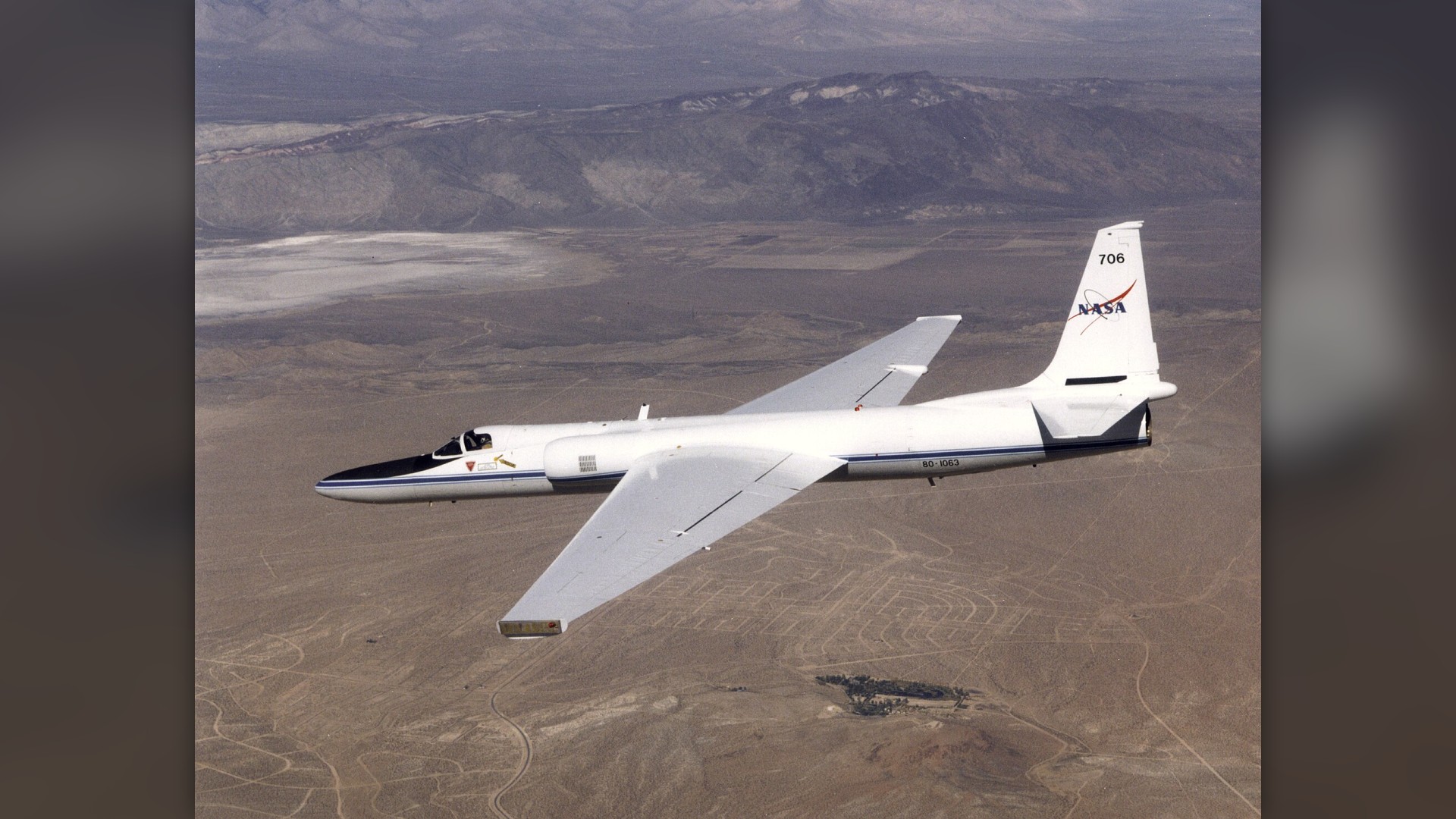
©Wikimedia / NASA Armstrong Flight Research Center
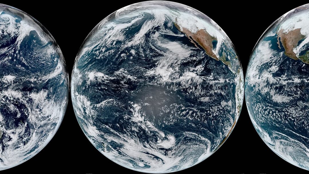
5. Himawari-9 Weather Satellite
The Japan Meteorological Agency uses Himawari-9 to generate continuous multispectral storm scans, tracking the rapid development of western Pacific super typhoons.
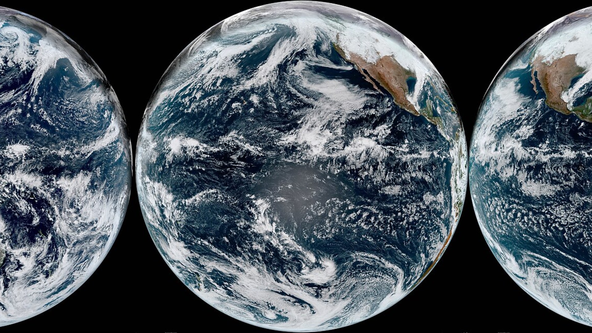
©Wikimedia / NOAA's GOES 16 and 18 Satellites
4. NSF / NCAR Gulfstream V
The High-Performance Instrumented Airborne Platform for Environmental Research samples chemical and meteorological variables near the top of extreme storm clouds.
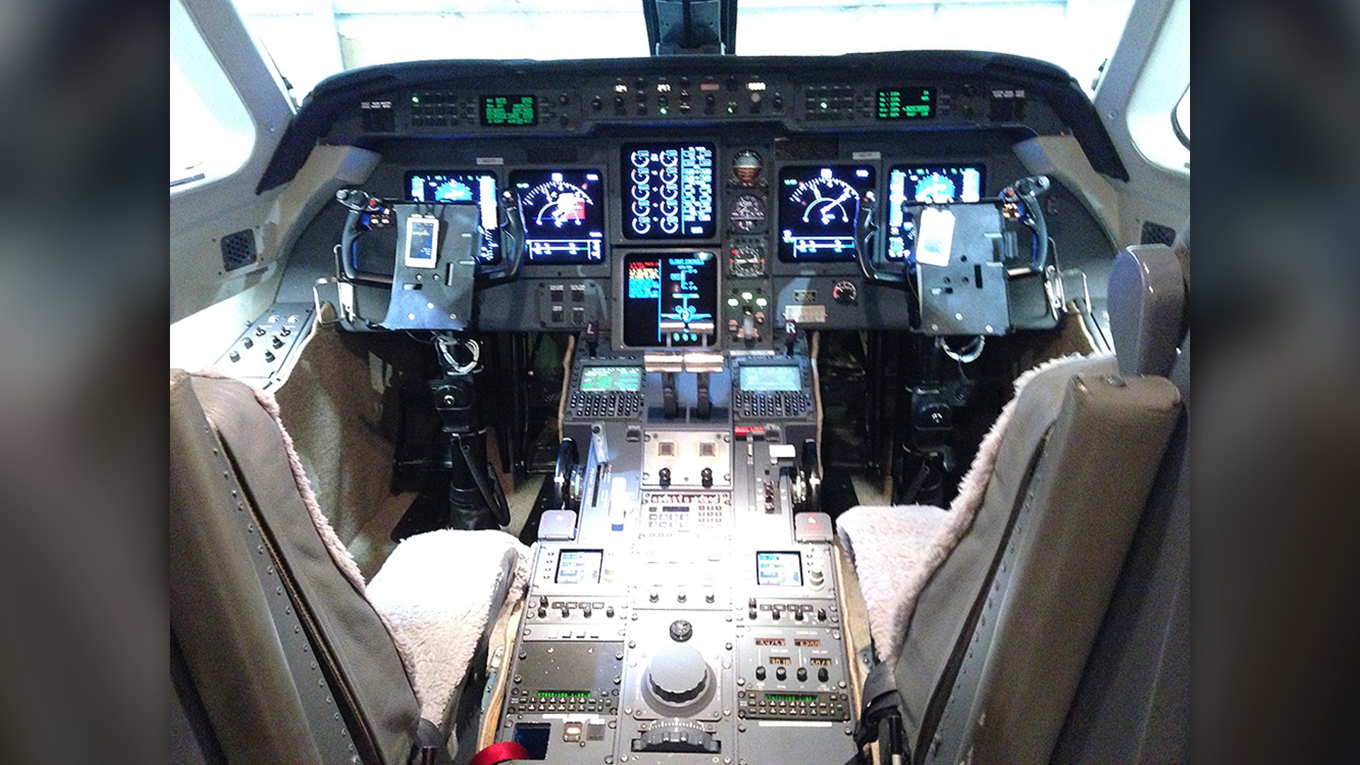
©Wikimedia / National Science Foundation
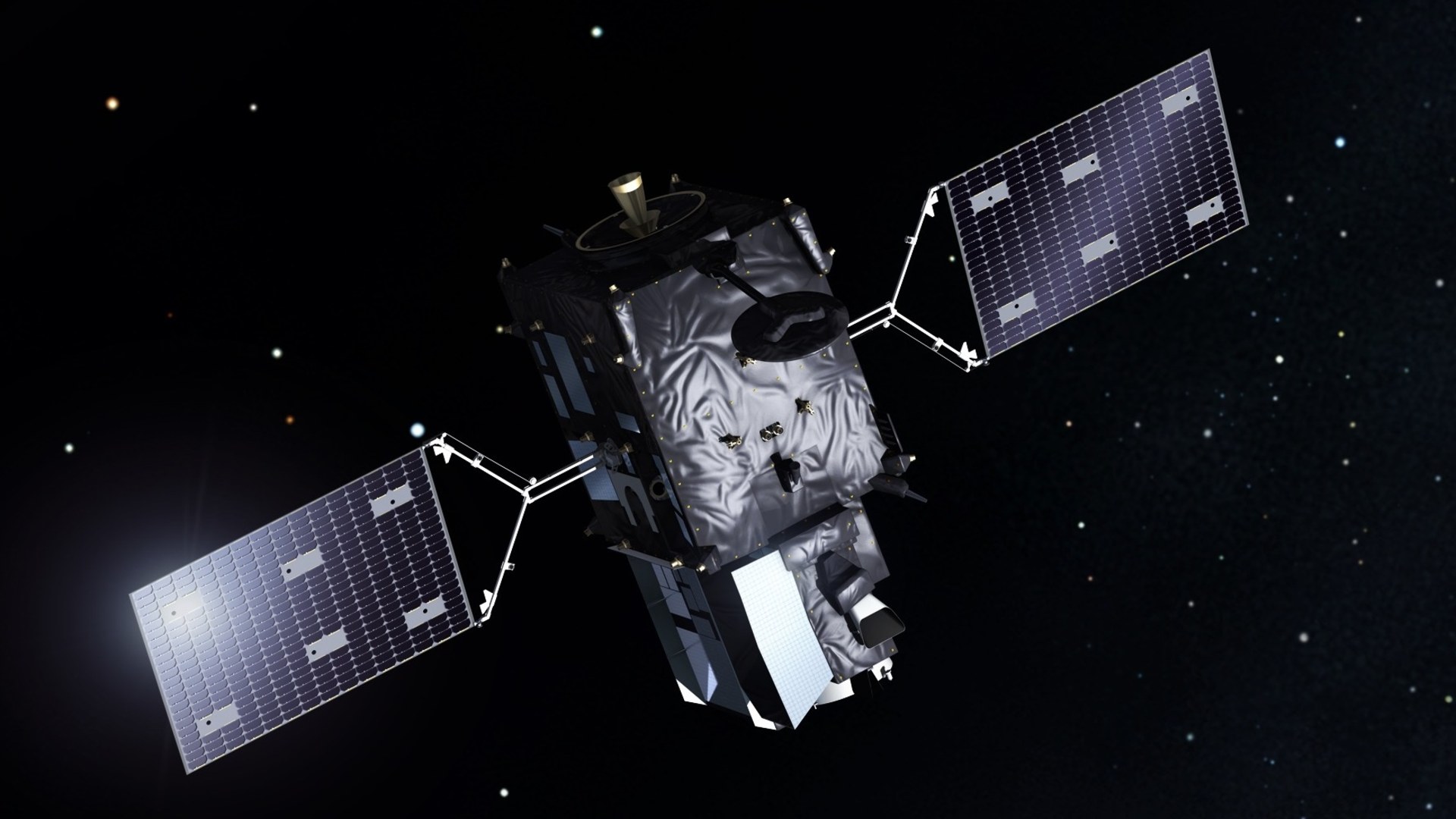
3. Meteosat Third Generation
Operated by EUMETSAT, MTG monitors severe weather development across Europe and Africa with continuous optical lightning detection.
©Wikimedia / European Space Agency
Advertisement
Swipe or tap ▶ to resume the countdown.
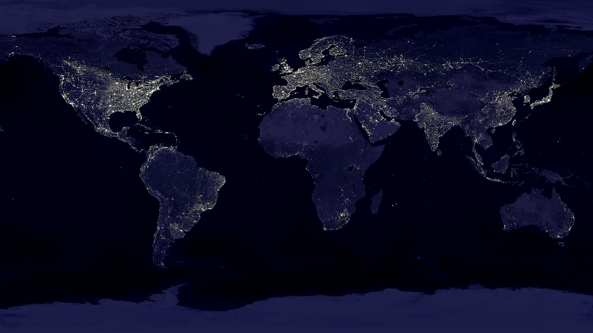
2. DMSP Weather Satellite
The Defense Meteorological Satellite Program employs passive microwave sensors to see through dense cirrus canopies, revealing underlying cyclone rotation.
©Wikimedia / Data: Marc Imhoff / NASA GSFC,
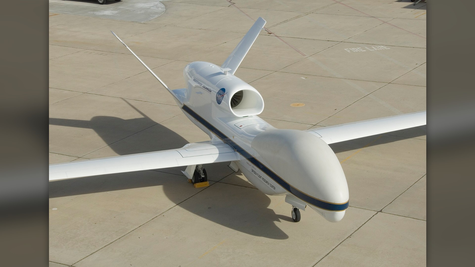
1. NASA Global Hawk Weather Drone
NASA repurposed robotic Global Hawk drones to fly directly above storm systems at altitudes exceeding 60,000 feet, recording internal temperature anomalies.
©Wikimedia / NASA Armstrong Flight Research Center
Advertisement
You've reached the end of the story. Thanks for reading!

20 Tech Gadgets That Truly Changed The World
From the first viable EV to the device that put the internet in your pocket, these 20 tech products fundamentally altered our behavior, work, and social lives in the 21st century.
All 25 Entries in this Story
1. GPS Hurricane Dropsonde System
Dropped from planes inside the eyewall, dropsondes descend via parachute while transmitting high-frequency vertical wind and pressure profiles before splashing down.

2. NOAA-20 Polar Satellite
Orbiting 512 miles above Earth, NOAA-20 circles the globe every 101 minutes, feeding global computer forecast models with essential severe weather telemetry.

3. WP-3D Orion Kermit
Operating alongside Miss Piggy, Kermit flies directly into category five hurricanes, enduring severe g-forces while releasing parachute-guided dropsondes.

4. GOES-18 Weather Satellite
GOES-18 monitors the eastern and central Pacific Ocean, detecting storm moisture plumes and tracking sudden atmospheric river landfalls along coastal regions.

5. WP-3D Orion Miss Piggy
Nicknamed Miss Piggy, this reinforced NOAA aircraft has braved decades of eyewall penetrations to deliver critical real-time barometric readings from cyclone cores.

6. GOES-16 Weather Satellite
Stationed 22,236 miles above the equator, GOES-16 uses the Advanced Baseline Imager to stream near real-time updates as hurricanes approach the East Coast.

7. USAF WC-130J Super Hercules
Flown by the Air Force Reserve 53rd Weather Reconnaissance Squadron, the WC-130J penetrates storm centers to collect raw pressure and wind velocity data.

8. Terra Satellite And MODIS
Terra's Moderate Resolution Imaging Spectroradiometer produces the iconic visible and thermal storm images used daily by international forecasting agencies.

9. GPM Core Observatory
The Dual-frequency Precipitation Radar on GPM slices through clouds to map rain and ice density, revealing internal eyewall dynamics inside typhoons.

10. NASA P-3 Orion Research Aircraft
NASA's Wallops Flight Facility operates this modified P-3 Orion, deploying advanced remote sensing packages across oceanic storm tracks for atmospheric research.

11. NOAA-21 Polar Weather Satellite
NOAA-21 delivers high-resolution radiometric imagery that helps meteorologists model cyclone trajectories hours before coastal evacuation alerts are issued.

12. NOAA Gulfstream IV-SP Jet
Operating high above storm systems, NOAA's Gulfstream IV deploys GPS dropsondes across hundreds of nautical miles to forecast which direction hurricanes will turn.

13. CYGNSS Satellite Constellation
NASA's Cyclone Global Navigation Satellite System constellation penetrates dense tropical rain to measure surface wind speeds often hidden from normal radar.

14. Suomi NPP Polar Satellite
Suomi NPP provides vital nocturnal views of cyclones using ultrasensitive light sensors, allowing forecasters to monitor storm centers without daylight.

15. NASA DC-8 Airborne Science Lab
NASA's modified DC-8 carries dozens of scientists and specialized air sensors, flying extended missions into marine storm zones to measure cloud microphysics.

16. Sentinel-6 Michael Freilich
Jointly operated by NASA and ESA, Sentinel-6 maps ocean surface height to calculate the deep warm water layers that provide thermal energy for mega-storms.

17. Aqua Satellite And AIRS Instrument
Aqua's Atmospheric Infrared Sounder measures heat and moisture in thousands of atmospheric channels, tracking latent heat that powers tropical storms.

18. NOAA Beechcraft King Air 350CER
Equipped with specialized belly sensors and digital cameras, NOAA King Air planes survey inland surge damage and hydrological conditions immediately following landfall.

19. MetOp Polar Weather Satellite
MetOp spacecraft circle polar trajectories, providing crucial vertical temperature and moisture soundings that feed directly into numerical cyclone forecasting models.

20. NASA ER-2 High-Altitude Aircraft
Flying near the edge of space, NASA's ER-2 carries Doppler radar and radiometers directly over severe thunderstorm anvils to measure vertical precipitation.

21. Himawari-9 Weather Satellite
The Japan Meteorological Agency uses Himawari-9 to generate continuous multispectral storm scans, tracking the rapid development of western Pacific super typhoons.

22. NSF / NCAR Gulfstream V
The High-Performance Instrumented Airborne Platform for Environmental Research samples chemical and meteorological variables near the top of extreme storm clouds.

23. Meteosat Third Generation
Operated by EUMETSAT, MTG monitors severe weather development across Europe and Africa with continuous optical lightning detection.

24. DMSP Weather Satellite
The Defense Meteorological Satellite Program employs passive microwave sensors to see through dense cirrus canopies, revealing underlying cyclone rotation.

25. NASA Global Hawk Weather Drone
NASA repurposed robotic Global Hawk drones to fly directly above storm systems at altitudes exceeding 60,000 feet, recording internal temperature anomalies.