Slideshow · Travel
20 US States Facing the Harshest Winter Weather This Year
Winter weather in North America shifts dramatically under active atmospheric patterns, concentrating severe blizzards and subzero cold across specific regions. Based on seasonal projections from NOAA climate scientists, these twenty states face intense lake-effect snow, freezing temperatures and hazardous travel.
By Most Viral Today
28 min ago

Where Winter Storms Will Hit Hardest Across America 
20. Massachusetts 
19. Pennsylvania 
18. Ohio - AdvertisementSwipe or tap ▶ to continue countdown

17. Indiana 
16. Illinois 
15. Oregon 
14. Washington - AdvertisementSwipe or tap ▶ to continue countdown

13. New York 
12. Vermont 
11. New Hampshire 
10. Idaho - AdvertisementSwipe or tap ▶ to continue countdown

9. Wyoming 
8. South Dakota 
7. Michigan 
6. Wisconsin - AdvertisementSwipe or tap ▶ to continue countdown

5. Maine 
4. Minnesota 
3. Montana 
2. North Dakota - AdvertisementSwipe or tap ▶ to continue countdown

1. Alaska - Advertisement🔥 UP NEXT IN THIS SERIES◫ 21 Slides

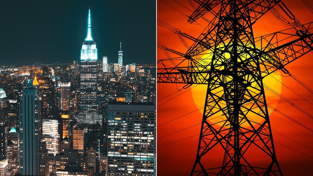
20 US Cities That Consume the Most Electricity, Ranked
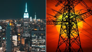
Urban centers require enormous volumes of energy to sustain daily operations. Drawing from municipal utility disclosures, regional grid operator statistics, and federal power archives, this ranking highlights twenty American cities with the largest annual electricity consumption measured in billions of kilowatt hours.
Every winter brings distinct regional hazards, from Arctic air outbreaks across the northern plains to paralyzing lake-effect squalls. Based on climate outlooks from the National Oceanic and Atmospheric Administration and National Weather Service records, this countdown ranks twenty states bracing for severe cold.
Swipe or tap ▶ to begin the countdown
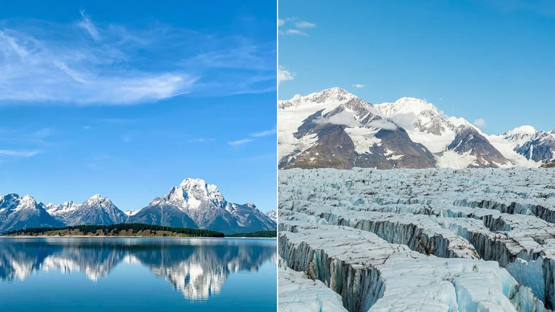
©Pixabay / srkcalifano & Wikimedia / Diego Delso
20. Massachusetts
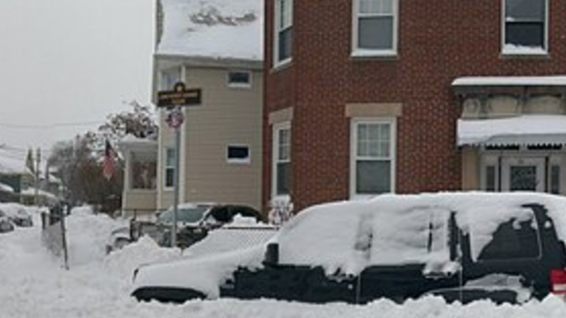
The National Weather Service monitors Massachusetts for Atlantic nor'easters that pull moisture from coastal waters into freezing continental air. Boston averages over 49 inches of winter snow annually. Rapidly intensifying storms frequently knock out coastal power grids and cause severe tidal flooding.
©Wikimedia / Ethan Long
19. Pennsylvania
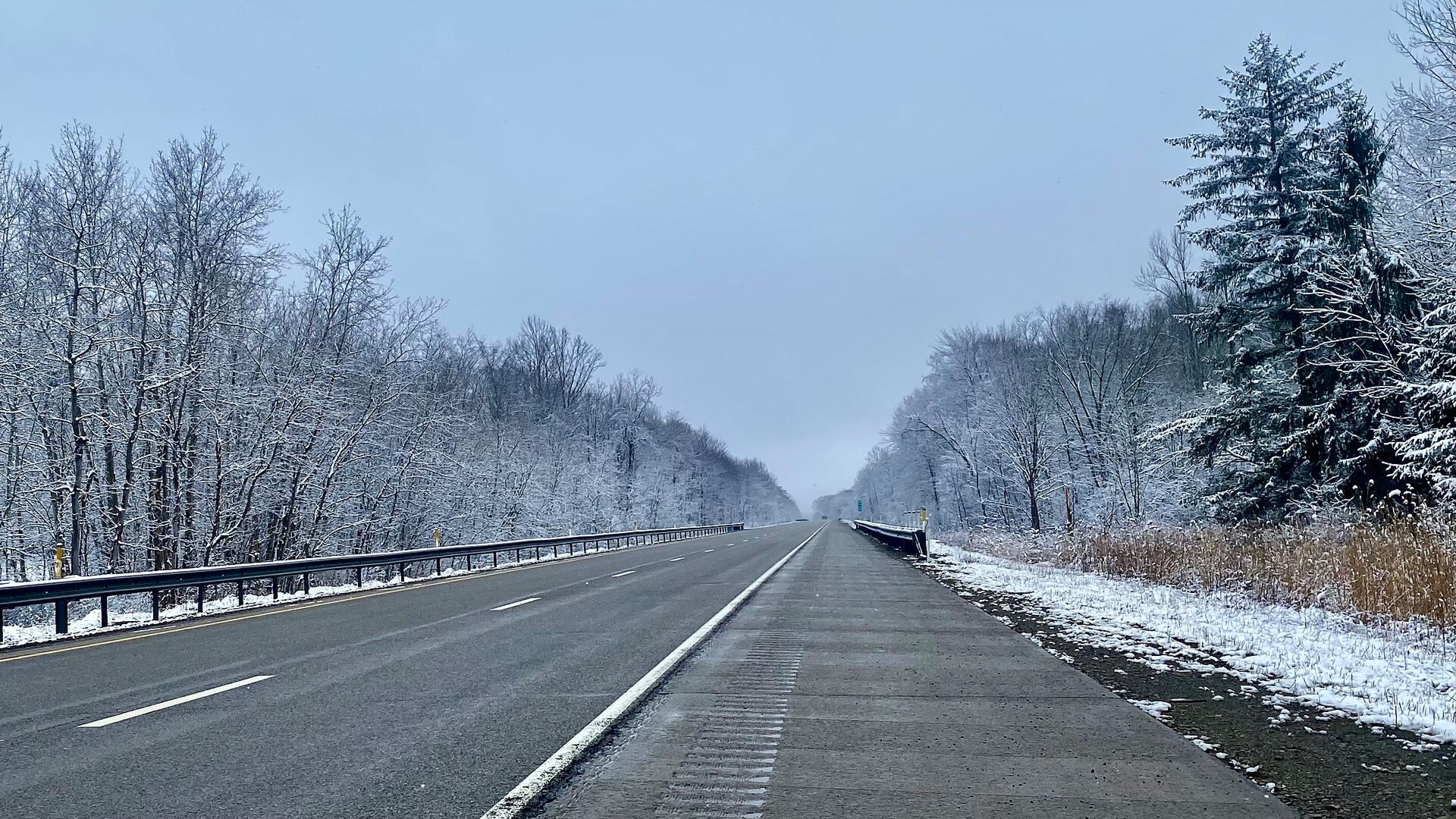
Northwest Pennsylvania experiences intense lake-effect snow squalls off Lake Erie, with Erie receiving an average of over 100 inches each winter. NOAA models indicate heightened moisture flow across the Great Lakes, driving localized whiteouts that shut down Interstate 90 and strand regional drivers.
©Wikimedia / Andre Carrotflower
18. Ohio
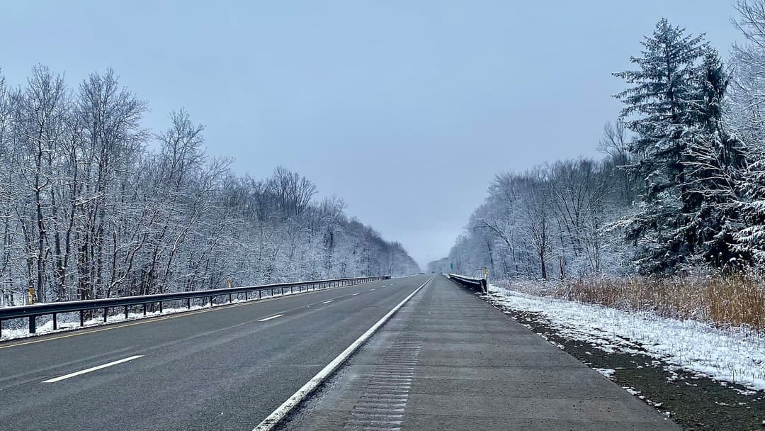
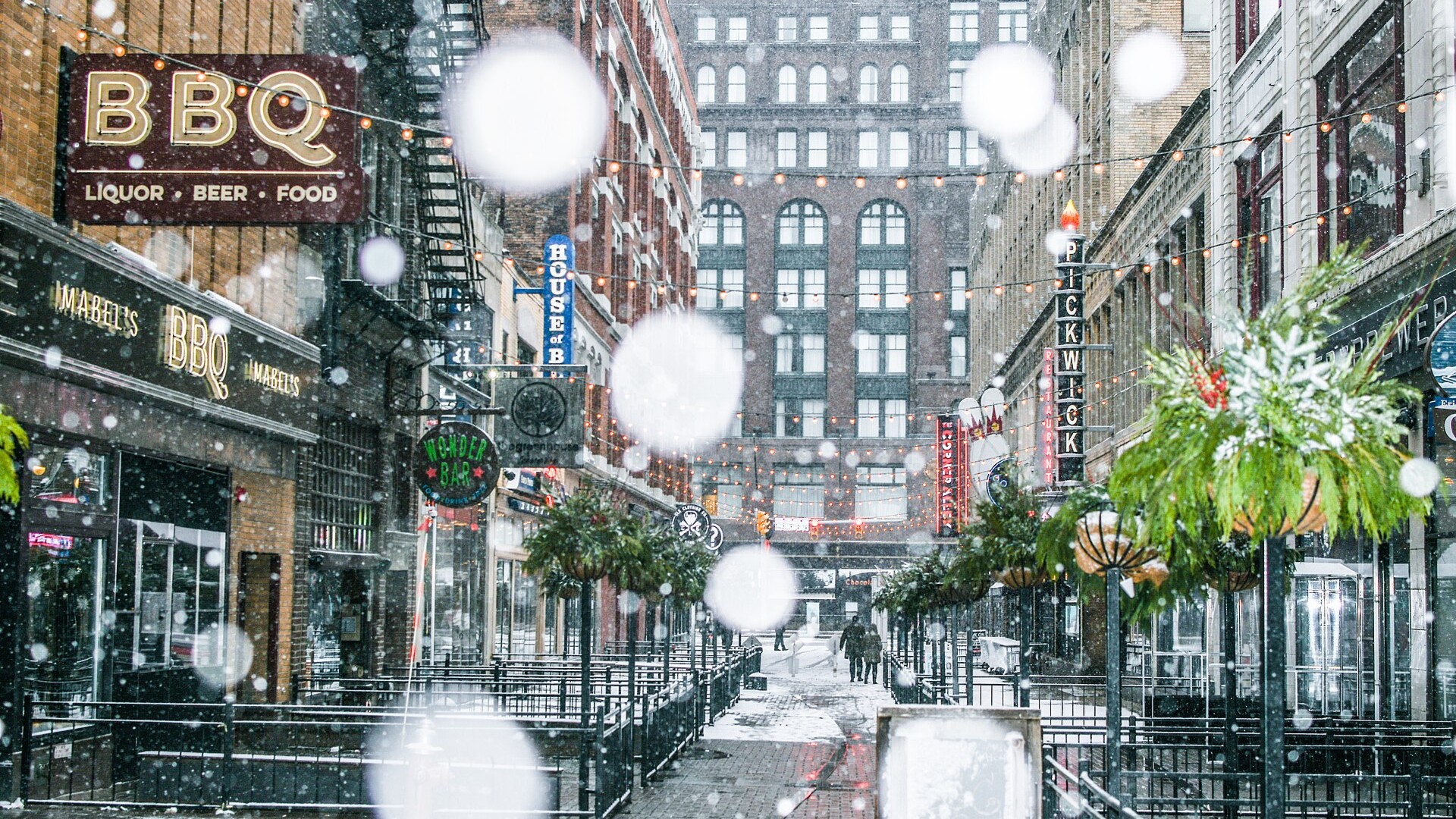
Northeast Ohio sits directly inside the primary Lake Erie snowbelt, where Cleveland averages 63 inches of seasonal snow. NOAA precipitation forecasts place the Ohio Valley in an above-average precipitation corridor, creating frequent ice storms and hazardous highway conditions along Interstate 80.
©Wikimedia / Erik Drost
Advertisement
Swipe or tap ▶ to resume the countdown.
17. Indiana
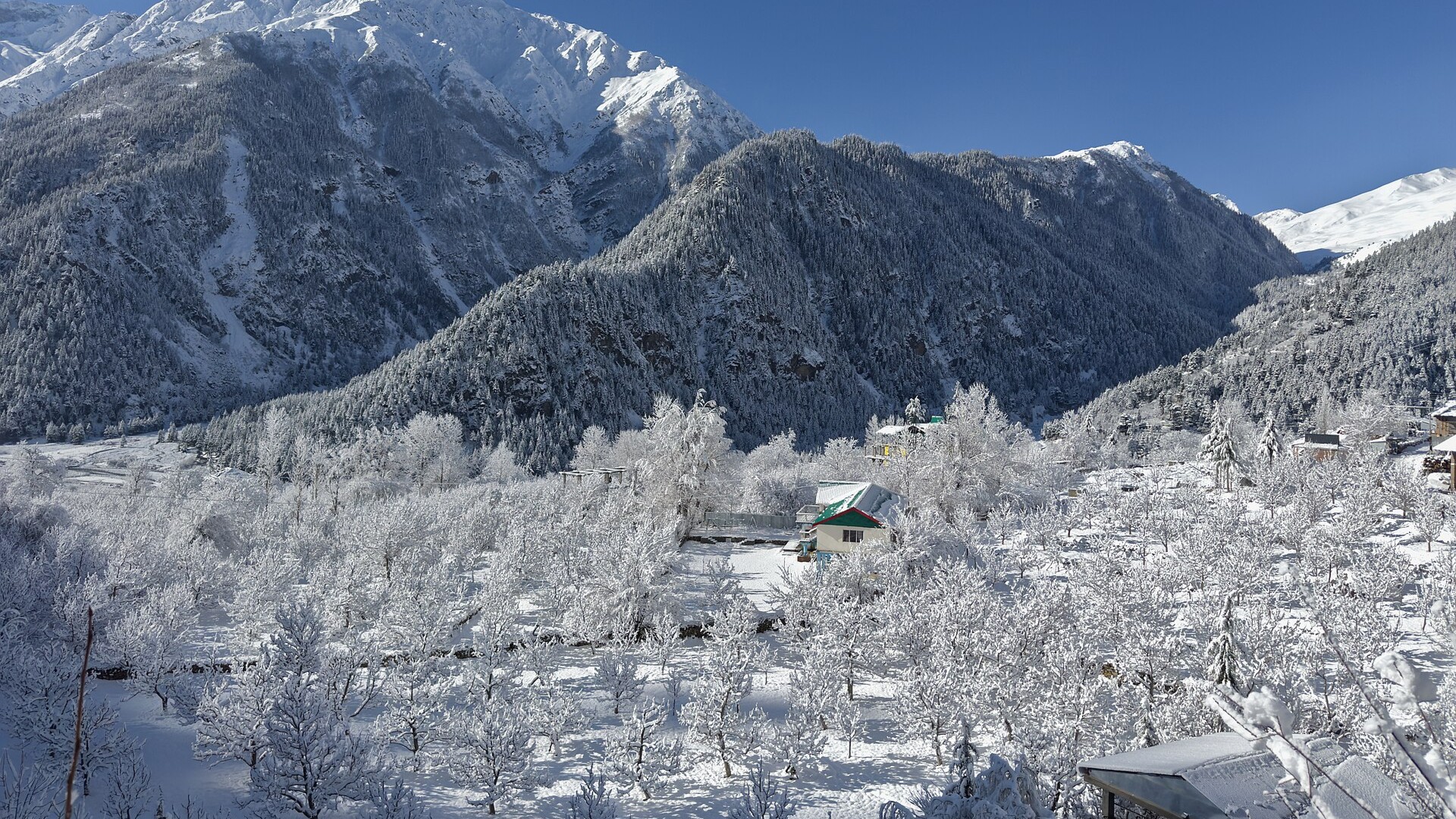
Northern Indiana absorbs relentless lake-effect snow from Lake Michigan, dumping over 70 inches annually near South Bend. Polar jet stream dips drive subzero wind chills across flat agricultural plains, causing drifting snow that closes rural county roads and creates hazardous multi-vehicle collisions.
©Wikimedia / UnpetitproleX
16. Illinois
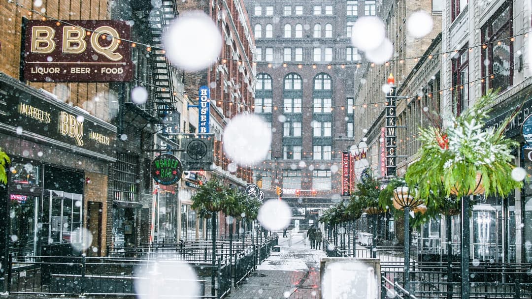
Chicago and northern Illinois endure brutal winter storms when Arctic air masses sweep down from Canada. The National Weather Service regularly records wind chills dropping below minus 25 degrees. Lake-enhanced snow bands off Lake Michigan add sudden bursts of localized accumulation across urban centers.
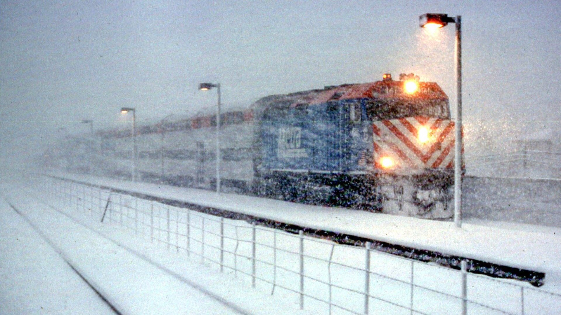
©Wikimedia / David Wilson from Oak Park, Illinois, USA
15. Oregon
La Nina patterns funnel strong Pacific moisture directly into the Pacific Northwest, bringing heavy snow across the Cascade Range. Mount Hood frequently records over 400 inches of snow each season. Lower elevations experience treacherous freezing rain storms that paralyze transit throughout the Willamette Valley.
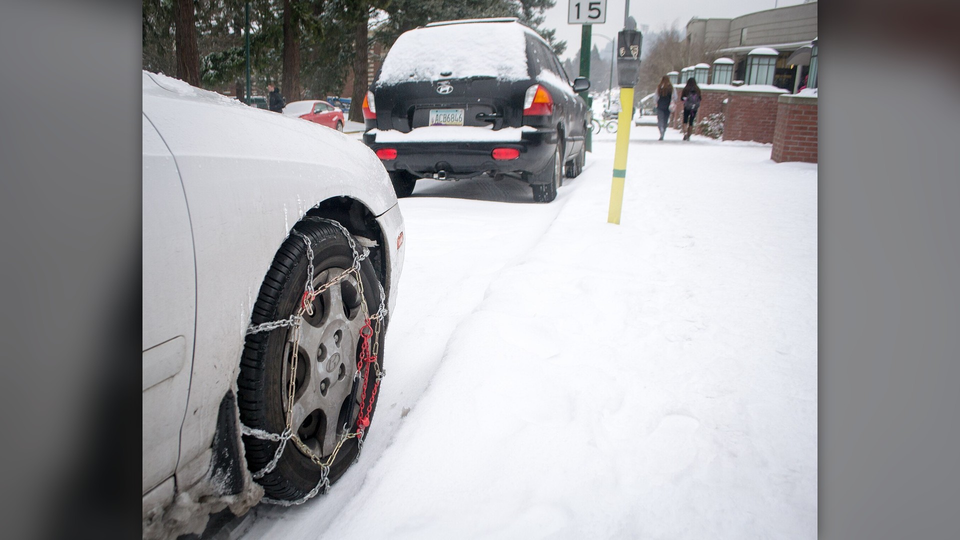
©Wikimedia / Visitor7
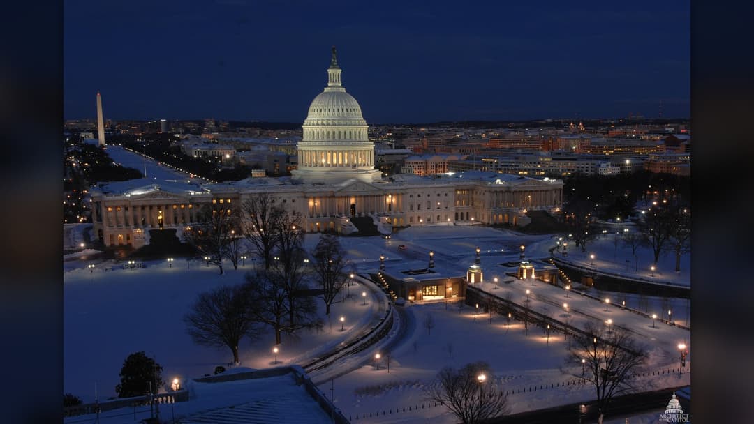
14. Washington
Washington state receives immense mountain snowfall when cold air traps moisture against the Cascades. Snoqualmie Pass and Stevens Pass regularly close due to severe avalanche hazards and blizzard conditions. NOAA projects above-normal precipitation across the northern tier, guaranteeing deep snowpack.
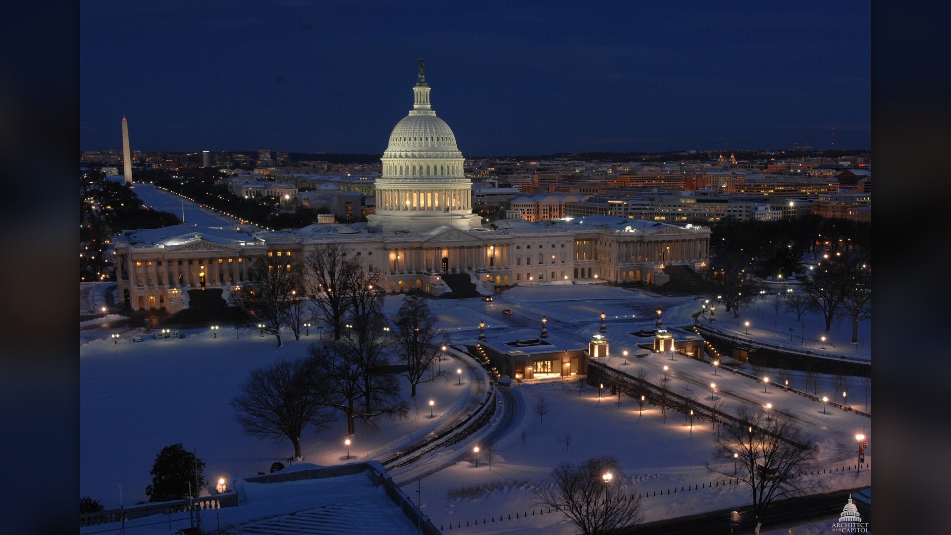
©Wikimedia / USCapitol
Advertisement
Swipe or tap ▶ to resume the countdown.
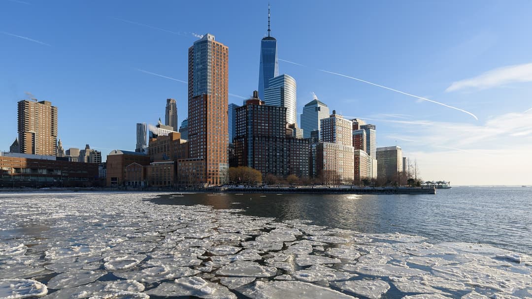
13. New York
Western and upstate New York endure some of the most extreme lake-effect snow events on Earth. Buffalo and Watertown regularly measure over 100 inches of snow annually, with single storms dropping five feet in three days. Arctic air passing over unfrozen lake waters generates blinding whiteouts.
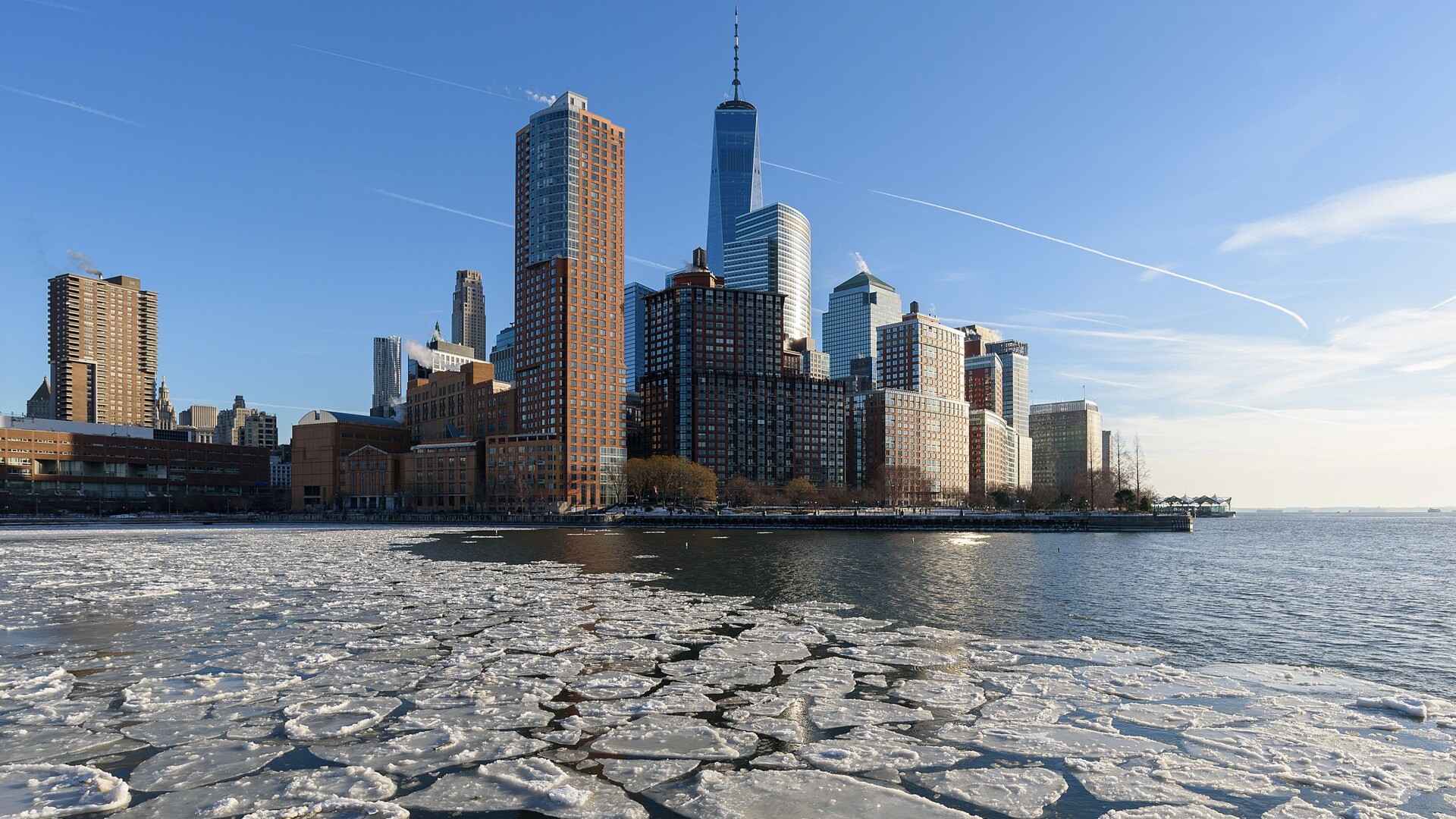
©Wikimedia / King of Hearts
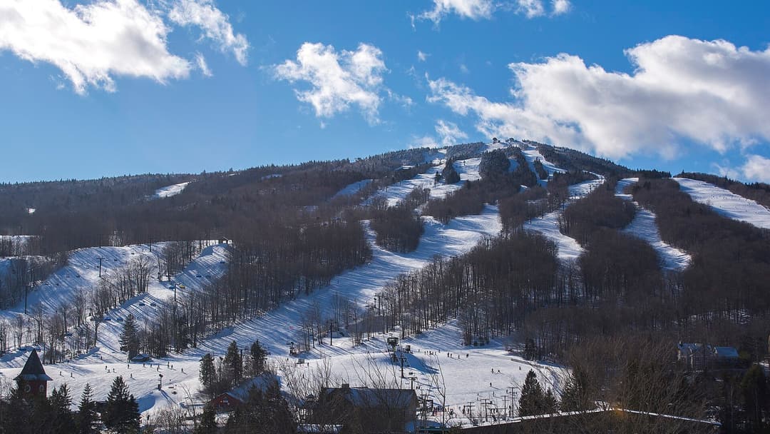
12. Vermont
Vermont experiences sustained subfreezing temperatures from December through March, with higher elevations in the Green Mountains averaging 150 inches of snow. Canadian high-pressure systems lock dense Arctic air into mountain valleys, creating prolonged freezes that stress regional heating infrastructures.
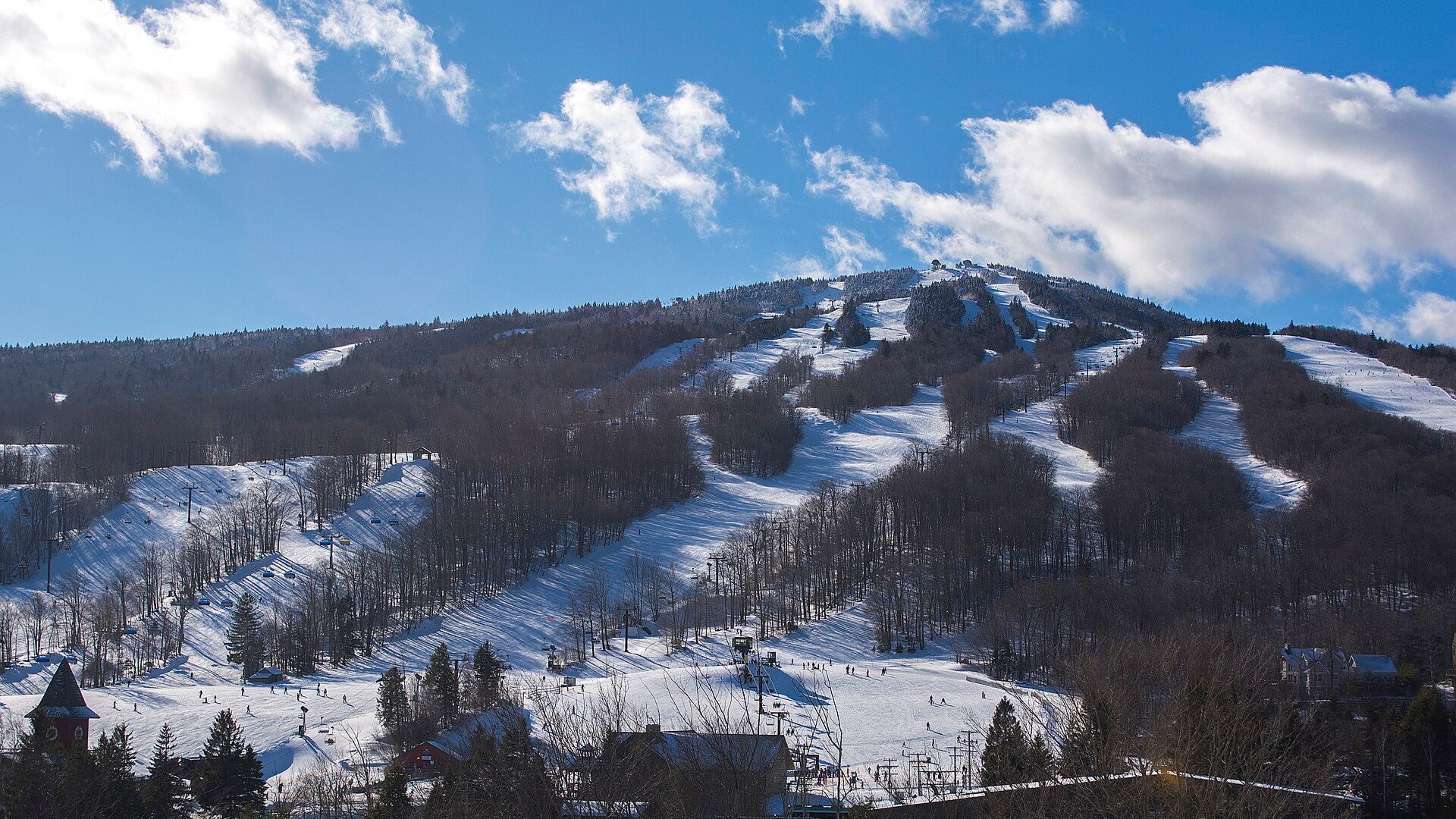
©Wikimedia / Mount Snow
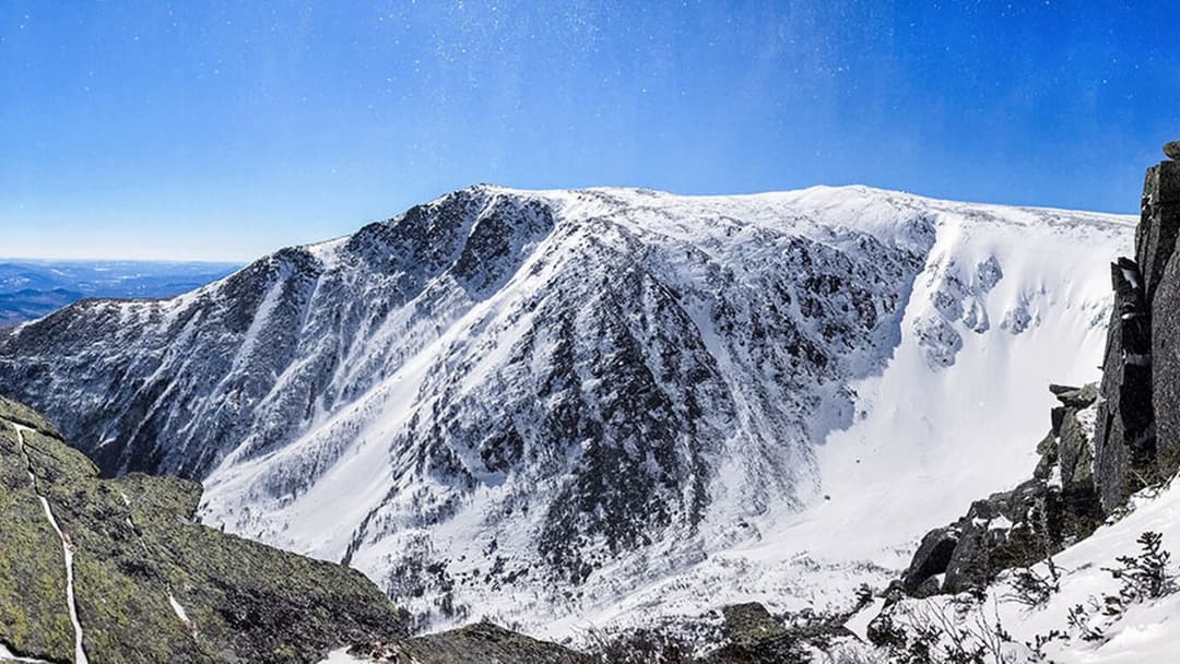
11. New Hampshire
New Hampshire faces severe winter weather across both its White Mountains and coastal plains. Mount Washington routinely records hurricane-force wind gusts exceeding 100 miles per hour alongside wind chills of minus 50 degrees. Heavy inland snowstorms frequently paralyze roadways across the state.
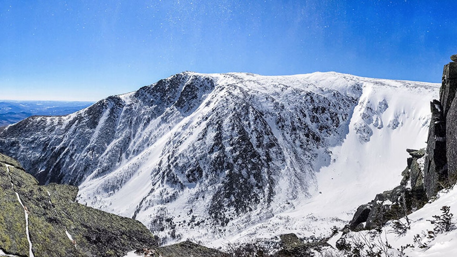
©Wikimedia / Samuel Banas, U.S. Geological Survey, New
10. Idaho
Idaho's complex topography traps cold Canadian air while intercepting moist Pacific storm tracks. Central mountain passes receive over 200 inches of snowfall annually. NOAA winter outlooks indicate above-average precipitation across the northern Rockies, increasing the frequency of heavy mountain snow.
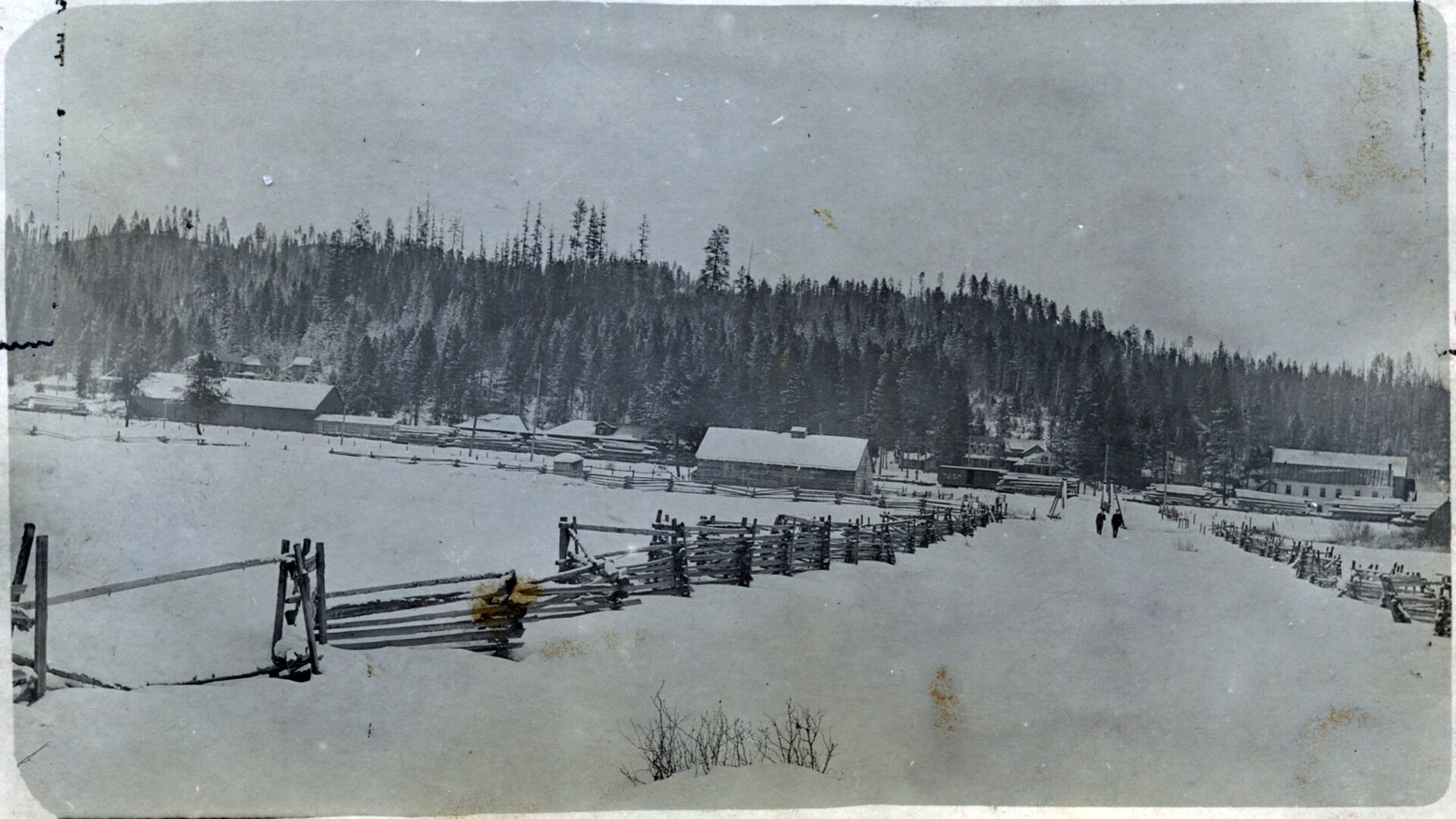
©Wikimedia / Steve Shook from Moscow, Idaho, USA
Advertisement
Swipe or tap ▶ to resume the countdown.
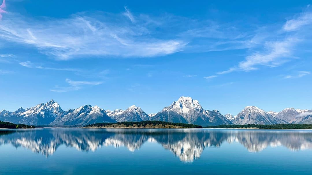
9. Wyoming
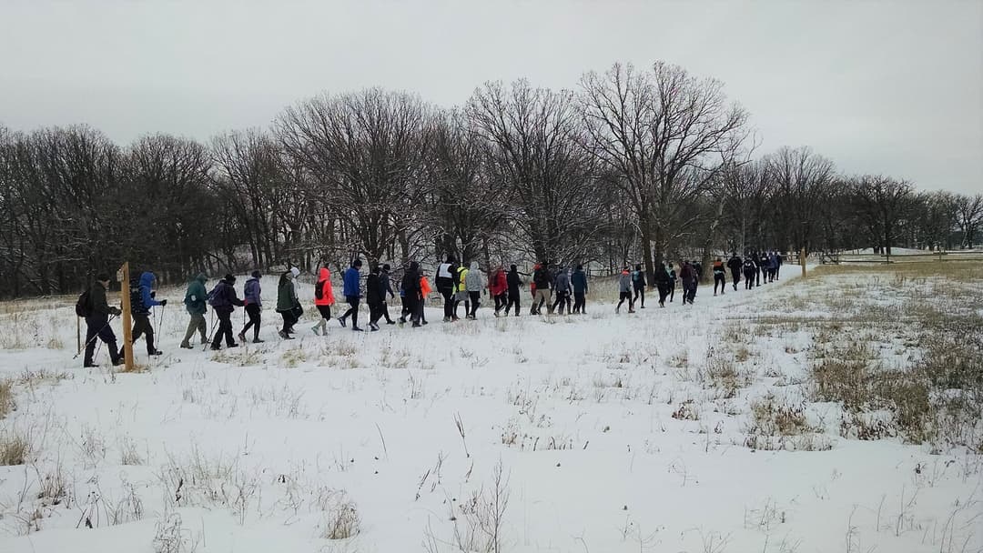
With an average elevation above 6700 feet, Wyoming experiences relentless winter winds that whip snow into blinding ground blizzards. Interstate 80 across southern Wyoming frequently closes for days at a time. Temperatures regularly plunge below minus 30 degrees across high mountain valleys and plains.
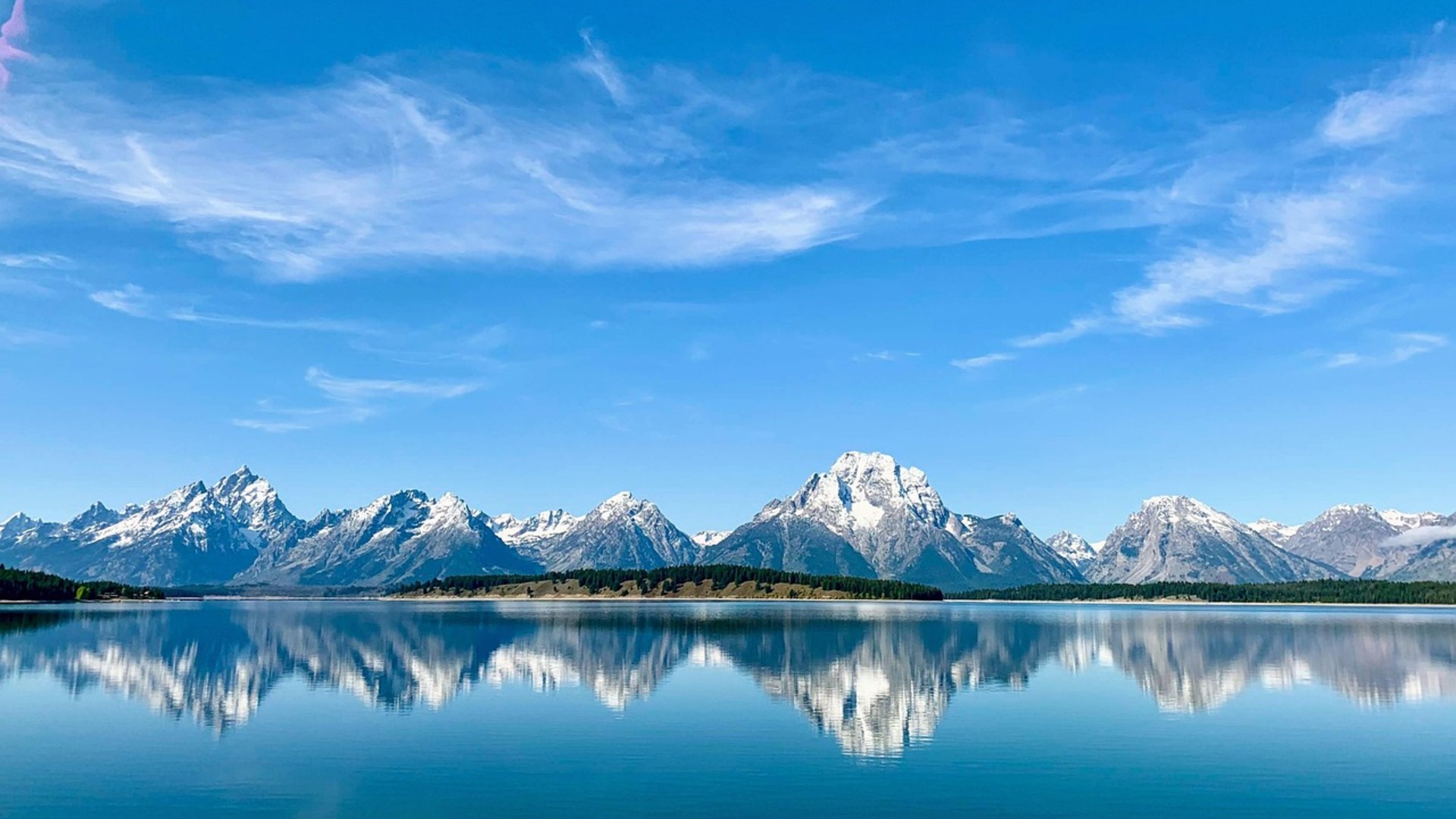
©Pixabay / srkcalifano
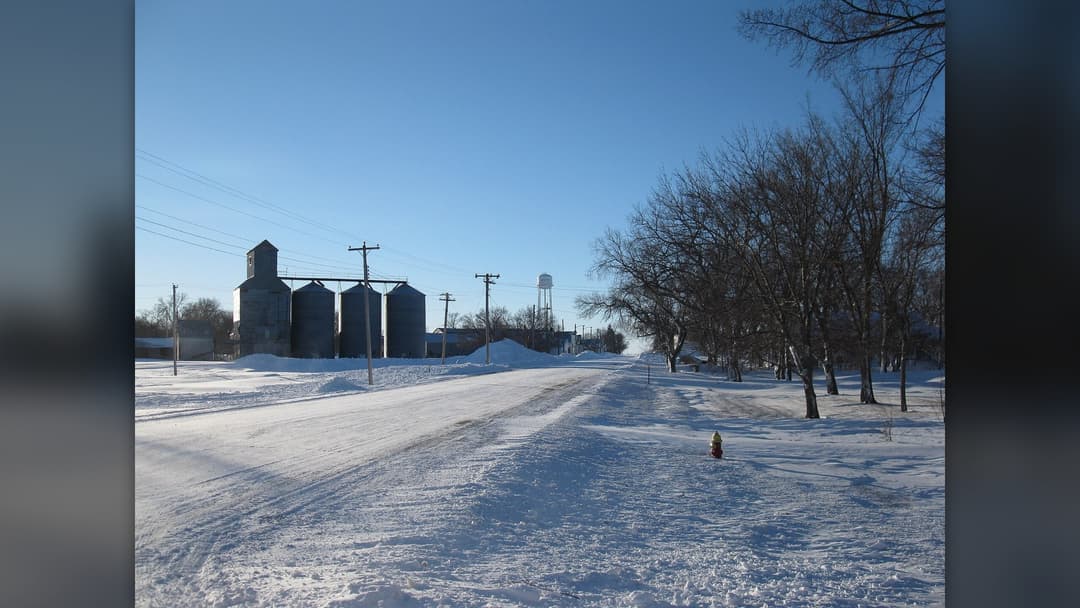
8. South Dakota
South Dakota sits directly in the path of Alberta clippers and Arctic blasts that sweep across open prairie lands. Wind gusts exceeding 50 miles per hour turn moderate snowfalls into life-threatening blizzards. Rapid temperature drops can freeze exposed roadways into solid sheets of ice within minutes.
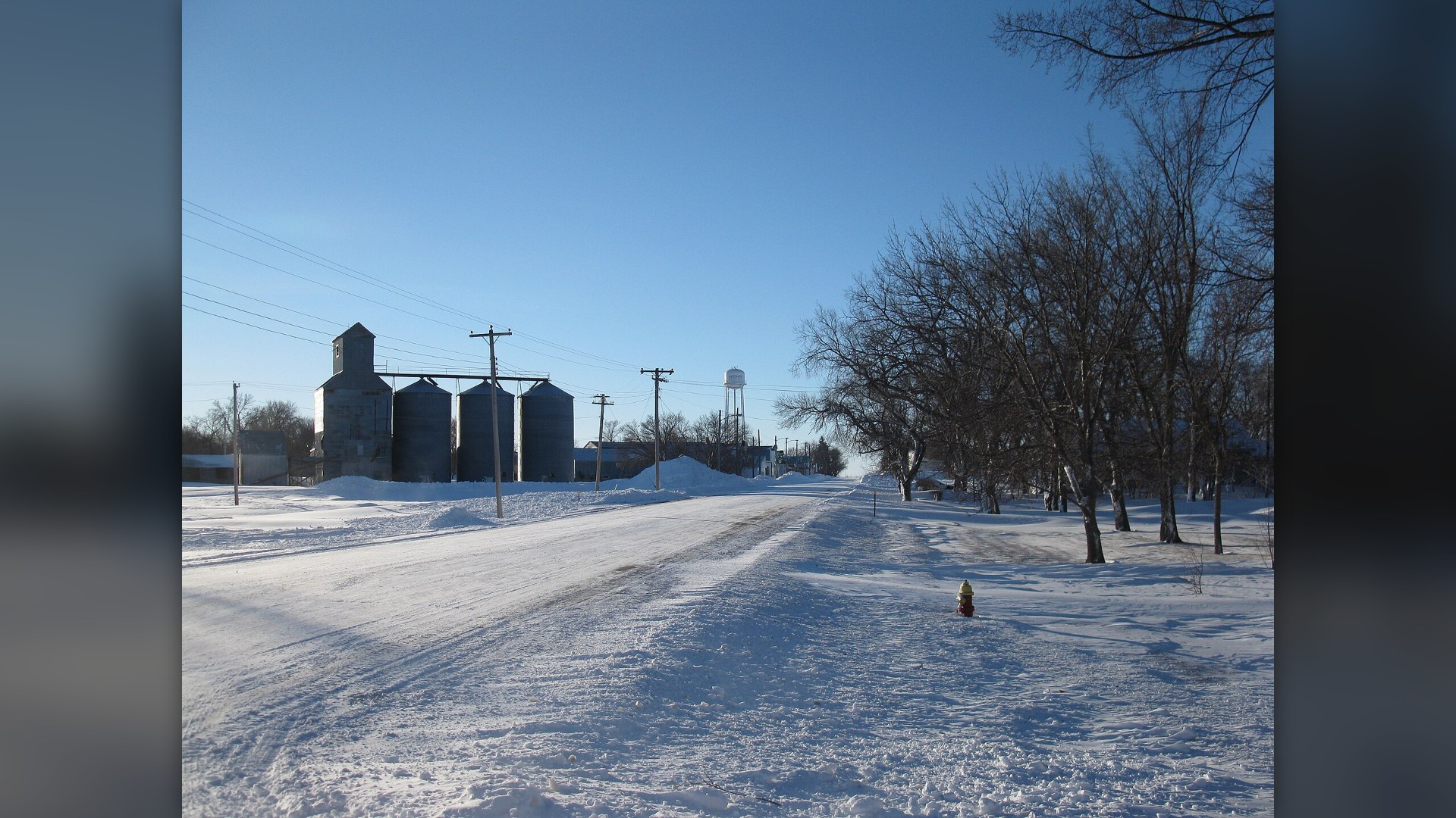
©Wikimedia / Isaac Malsom
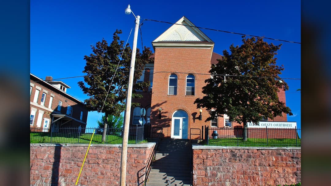
7. Michigan
Surrounded by Lakes Superior, Michigan and Huron, Michigan endures relentless lake-effect snow across both peninsulas. The Upper Peninsula town of Calumet averages over 200 inches of snow annually. NOAA models forecast above-average precipitation, amplifying heavy snow squalls along northern coastlines.
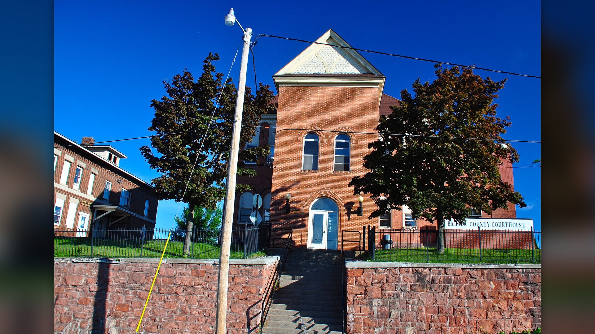
©Wikimedia / Skye Marthaler
6. Wisconsin
Wisconsin combines bitter Arctic temperatures with heavy lake-effect snow along Lake Superior's south shore. Iron County regularly records over 150 inches of winter snow. Extended polar vortex excursions drive overnight lows below minus 30 degrees across central and northern counties, stressing power grids.
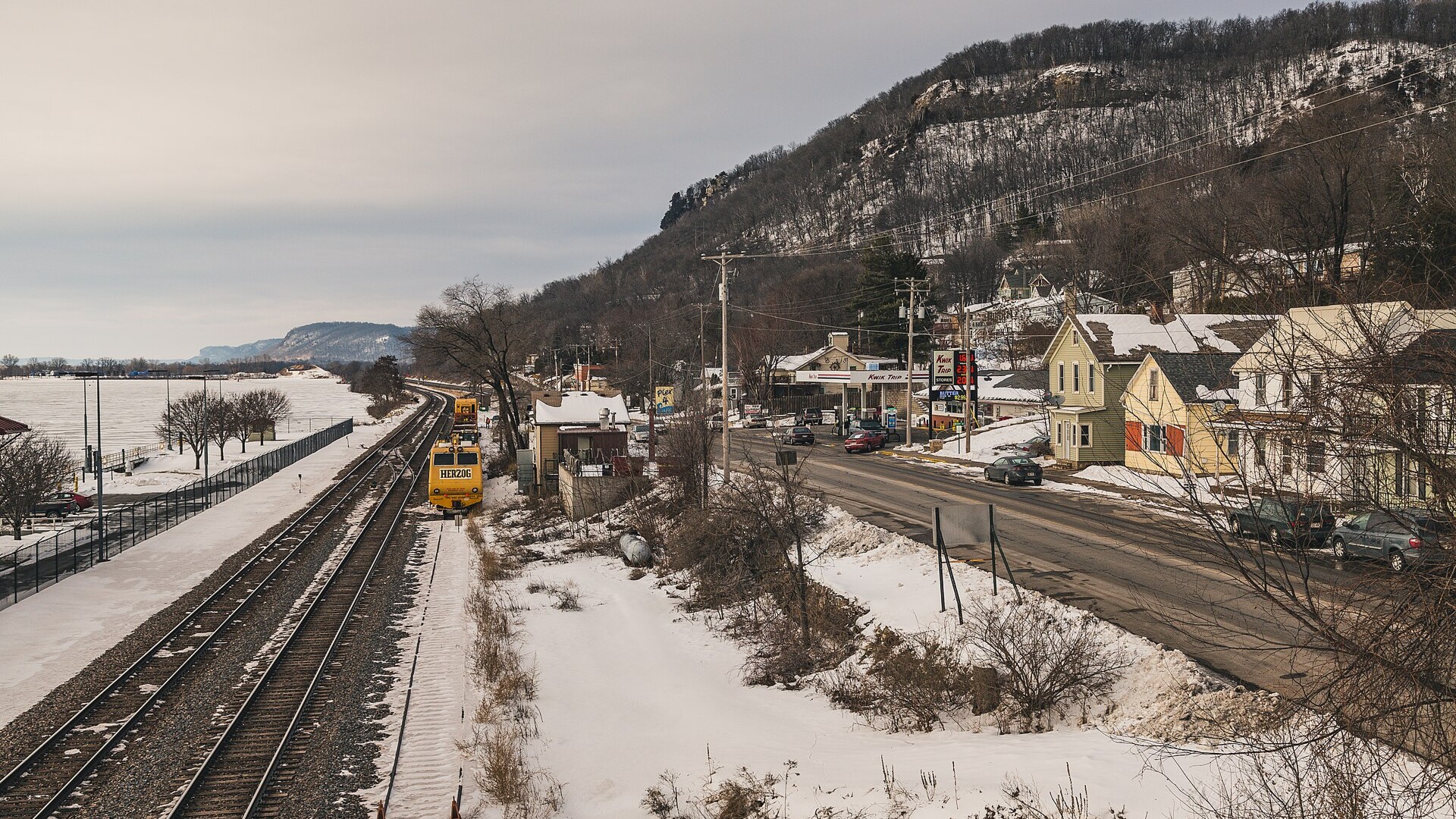
©Wikimedia / Tony Webster from Portland, Oregon
Advertisement
Swipe or tap ▶ to resume the countdown.
5. Maine
Maine absorbs brutal cold fronts from eastern Canada while coastal waters fuel powerful nor'easters. Caribou in northern Maine averages over 115 inches of snow each winter and maintains snow cover well into April. Severe winter storms bring coastal hurricane-force wind gusts and massive inland snowdrifts.
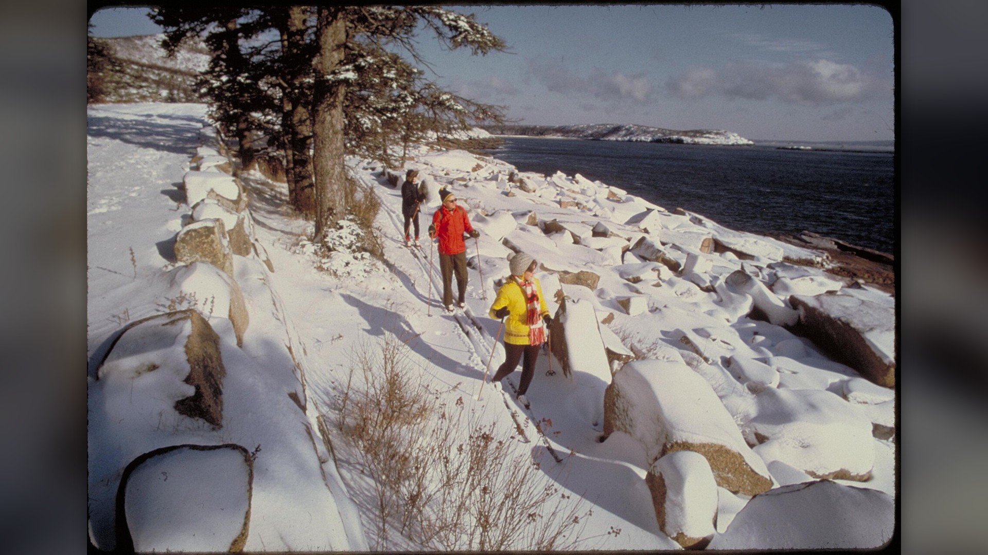
©Wikimedia / NPS staff
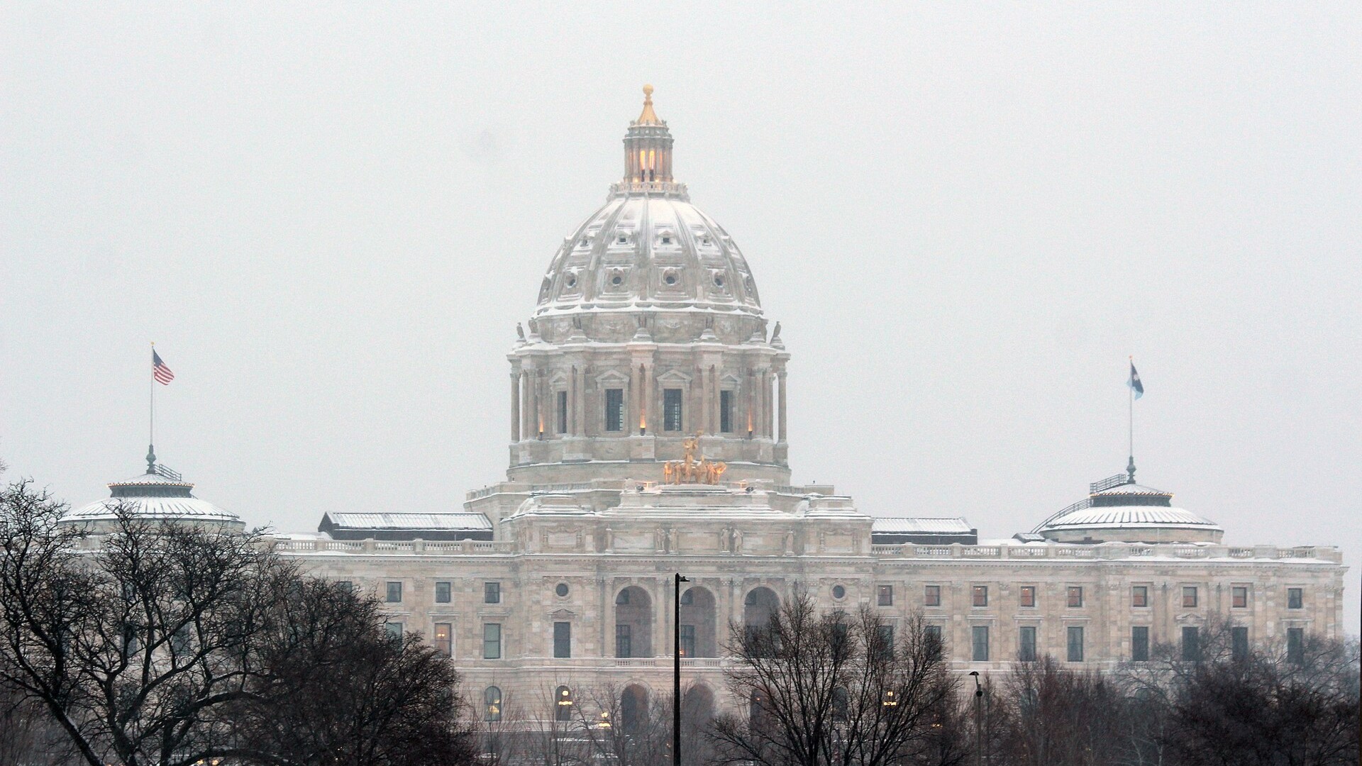
4. Minnesota
Minnesota earned its reputation as the nation's icebox through relentless Arctic high-pressure systems. International Falls frequently records temperatures dropping below minus 40 degrees. Deep snowpack combined with sustained winds creates extreme ground blizzards that completely cut off rural communities.
©Wikimedia / Myotus
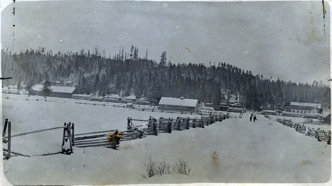
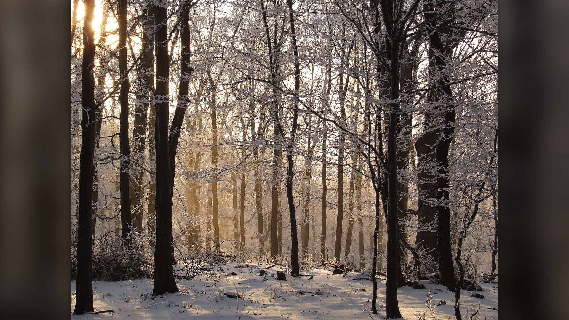
3. Montana
Montana holds the continental US record for the coldest recorded temperature at minus 70 degrees near Rogers Pass. Severe Arctic air sweeps south through the Rocky Mountain Front, dropping temperatures by 40 degrees in an hour. Heavy mountain snow combines with howling winds to produce severe whiteouts.
©Wikimedia / Susulyka
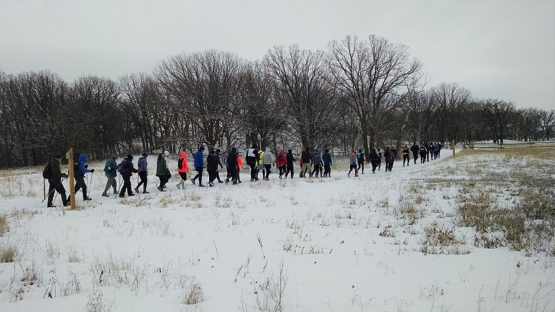
2. North Dakota
North Dakota endures the coldest winter climate in the contiguous United States. Bismarck averages over 45 days with subzero low temperatures each winter season. With minimal tree cover across vast prairies, howling winds create prolonged ground blizzards that drop wind chills below minus 50 degrees.
©Wikimedia / Forest Service - Northern Region
Advertisement
Swipe or tap ▶ to resume the countdown.
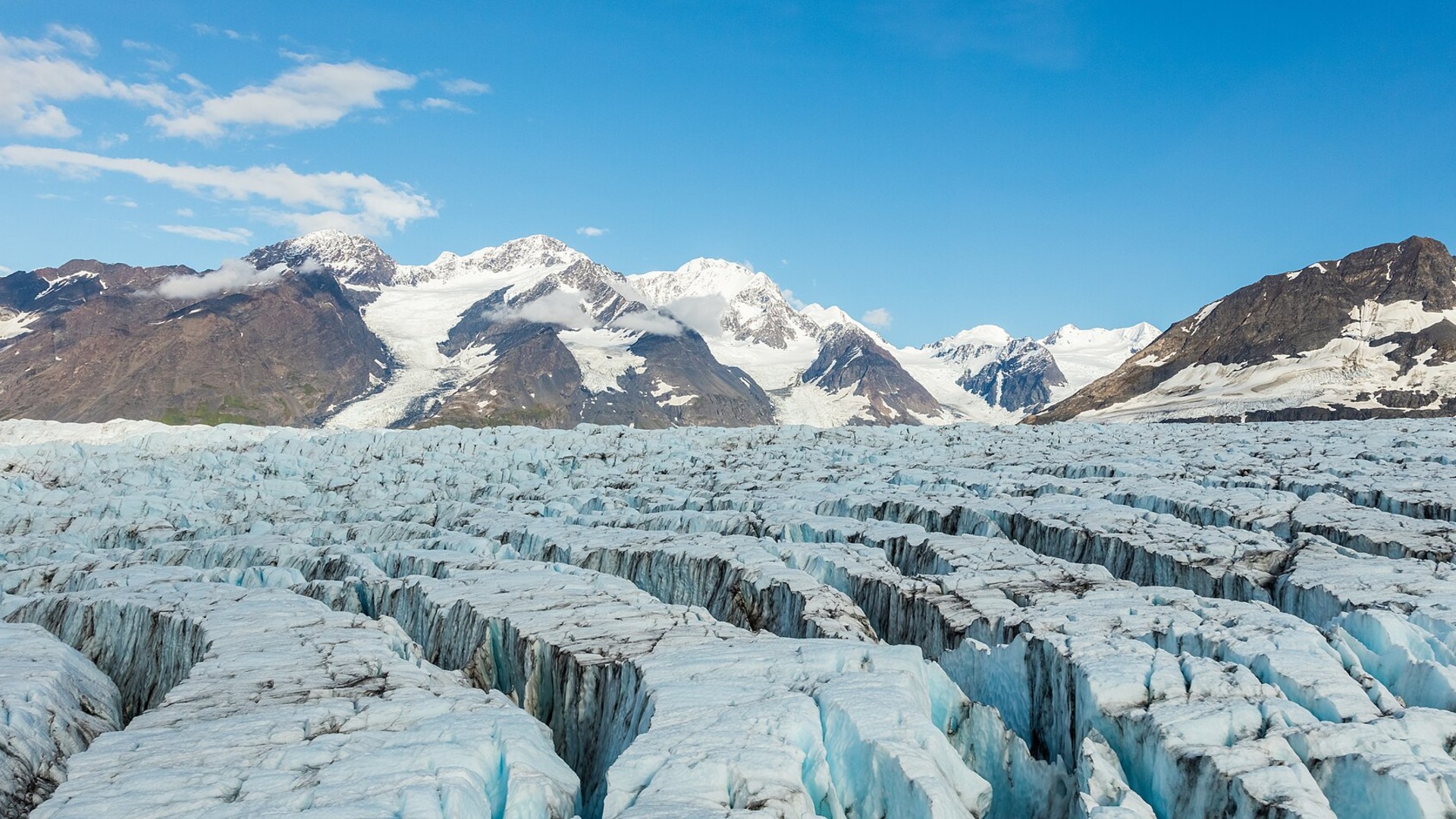
1. Alaska
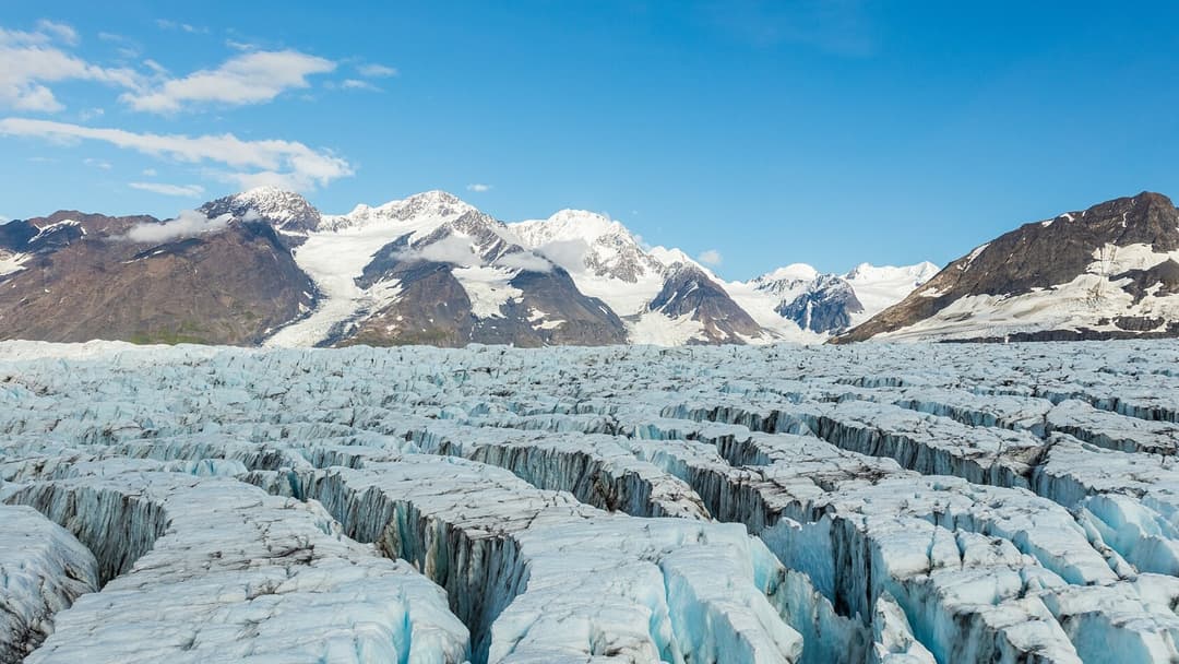
Alaska faces the most extreme winter conditions on the continent, with interior regions like Fairbanks dropping below minus 50 degrees for weeks. Powerful Gulf of Alaska storms dump hundreds of inches of snow across coastal mountains. Extended subarctic darkness amplifies life-threatening cold and isolation.
©Wikimedia / Diego Delso
Advertisement
You've reached the end of the story. Thanks for reading!

20 US Cities That Consume the Most Electricity, Ranked
Urban centers require enormous volumes of energy to sustain daily operations. Drawing from municipal utility disclosures, regional grid operator statistics, and federal power archives, this ranking highlights twenty American cities with the largest annual electricity consumption measured in billions of kilowatt hours.
All 20 Entries in this Story
#20 Massachusetts
The National Weather Service monitors Massachusetts for Atlantic nor'easters that pull moisture from coastal waters into freezing continental air. Boston averages over 49 inches of winter snow annually. Rapidly intensifying storms frequently knock out coastal power grids and cause severe tidal flooding.

#19 Pennsylvania
Northwest Pennsylvania experiences intense lake-effect snow squalls off Lake Erie, with Erie receiving an average of over 100 inches each winter. NOAA models indicate heightened moisture flow across the Great Lakes, driving localized whiteouts that shut down Interstate 90 and strand regional drivers.

#18 Ohio
Northeast Ohio sits directly inside the primary Lake Erie snowbelt, where Cleveland averages 63 inches of seasonal snow. NOAA precipitation forecasts place the Ohio Valley in an above-average precipitation corridor, creating frequent ice storms and hazardous highway conditions along Interstate 80.

#17 Indiana
Northern Indiana absorbs relentless lake-effect snow from Lake Michigan, dumping over 70 inches annually near South Bend. Polar jet stream dips drive subzero wind chills across flat agricultural plains, causing drifting snow that closes rural county roads and creates hazardous multi-vehicle collisions.

#16 Illinois
Chicago and northern Illinois endure brutal winter storms when Arctic air masses sweep down from Canada. The National Weather Service regularly records wind chills dropping below minus 25 degrees. Lake-enhanced snow bands off Lake Michigan add sudden bursts of localized accumulation across urban centers.

#15 Oregon
La Nina patterns funnel strong Pacific moisture directly into the Pacific Northwest, bringing heavy snow across the Cascade Range. Mount Hood frequently records over 400 inches of snow each season. Lower elevations experience treacherous freezing rain storms that paralyze transit throughout the Willamette Valley.

#14 Washington
Washington state receives immense mountain snowfall when cold air traps moisture against the Cascades. Snoqualmie Pass and Stevens Pass regularly close due to severe avalanche hazards and blizzard conditions. NOAA projects above-normal precipitation across the northern tier, guaranteeing deep snowpack.

#13 New York
Western and upstate New York endure some of the most extreme lake-effect snow events on Earth. Buffalo and Watertown regularly measure over 100 inches of snow annually, with single storms dropping five feet in three days. Arctic air passing over unfrozen lake waters generates blinding whiteouts.

#12 Vermont
Vermont experiences sustained subfreezing temperatures from December through March, with higher elevations in the Green Mountains averaging 150 inches of snow. Canadian high-pressure systems lock dense Arctic air into mountain valleys, creating prolonged freezes that stress regional heating infrastructures.

#11 New Hampshire
New Hampshire faces severe winter weather across both its White Mountains and coastal plains. Mount Washington routinely records hurricane-force wind gusts exceeding 100 miles per hour alongside wind chills of minus 50 degrees. Heavy inland snowstorms frequently paralyze roadways across the state.

#10 Idaho
Idaho's complex topography traps cold Canadian air while intercepting moist Pacific storm tracks. Central mountain passes receive over 200 inches of snowfall annually. NOAA winter outlooks indicate above-average precipitation across the northern Rockies, increasing the frequency of heavy mountain snow.

#9 Wyoming
With an average elevation above 6700 feet, Wyoming experiences relentless winter winds that whip snow into blinding ground blizzards. Interstate 80 across southern Wyoming frequently closes for days at a time. Temperatures regularly plunge below minus 30 degrees across high mountain valleys and plains.

#8 South Dakota
South Dakota sits directly in the path of Alberta clippers and Arctic blasts that sweep across open prairie lands. Wind gusts exceeding 50 miles per hour turn moderate snowfalls into life-threatening blizzards. Rapid temperature drops can freeze exposed roadways into solid sheets of ice within minutes.

#7 Michigan
Surrounded by Lakes Superior, Michigan and Huron, Michigan endures relentless lake-effect snow across both peninsulas. The Upper Peninsula town of Calumet averages over 200 inches of snow annually. NOAA models forecast above-average precipitation, amplifying heavy snow squalls along northern coastlines.

#6 Wisconsin
Wisconsin combines bitter Arctic temperatures with heavy lake-effect snow along Lake Superior's south shore. Iron County regularly records over 150 inches of winter snow. Extended polar vortex excursions drive overnight lows below minus 30 degrees across central and northern counties, stressing power grids.

#5 Maine
Maine absorbs brutal cold fronts from eastern Canada while coastal waters fuel powerful nor'easters. Caribou in northern Maine averages over 115 inches of snow each winter and maintains snow cover well into April. Severe winter storms bring coastal hurricane-force wind gusts and massive inland snowdrifts.

#4 Minnesota
Minnesota earned its reputation as the nation's icebox through relentless Arctic high-pressure systems. International Falls frequently records temperatures dropping below minus 40 degrees. Deep snowpack combined with sustained winds creates extreme ground blizzards that completely cut off rural communities.

#3 Montana
Montana holds the continental US record for the coldest recorded temperature at minus 70 degrees near Rogers Pass. Severe Arctic air sweeps south through the Rocky Mountain Front, dropping temperatures by 40 degrees in an hour. Heavy mountain snow combines with howling winds to produce severe whiteouts.

#2 North Dakota
North Dakota endures the coldest winter climate in the contiguous United States. Bismarck averages over 45 days with subzero low temperatures each winter season. With minimal tree cover across vast prairies, howling winds create prolonged ground blizzards that drop wind chills below minus 50 degrees.

#1 Alaska
Alaska faces the most extreme winter conditions on the continent, with interior regions like Fairbanks dropping below minus 50 degrees for weeks. Powerful Gulf of Alaska storms dump hundreds of inches of snow across coastal mountains. Extended subarctic darkness amplifies life-threatening cold and isolation.