Slideshow · Travel
20 Longest Barrier Islands in the United States, Ranked by Length
Based on NOAA and USGS coastal surveys, here are the twenty longest barrier islands protecting the United States shoreline, ranked by total length in miles. Barrier islands shield thousands of miles of mainland shoreline from hurricanes.
By Most Viral Today
24 min ago

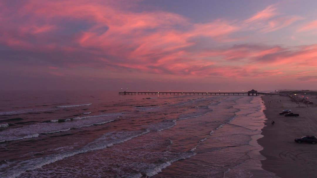
Padre Island Leads the Nation as the Longest Coastal Barrier Island 
20. Amelia Island, Florida 
19. Dauphin Island, Alabama 
18. Ocracoke Island, North Carolina - AdvertisementSwipe or tap ▶ to continue countdown

17. Cumberland Island, Georgia 
16. Mustang Island, Texas 
15. Bogue Banks, North Carolina 
14. San Jose Island, Texas - AdvertisementSwipe or tap ▶ to continue countdown

13. Core Banks, North Carolina 
12. Topsail Island, North Carolina 
11. Galveston Island, Texas 
10. Bolivar Peninsula, Texas - AdvertisementSwipe or tap ▶ to continue countdown

9. Long Beach Peninsula, Washington 
8. St. George Island, Florida 
7. Fire Island, New York 
6. Assateague Island, Maryland And Virginia - AdvertisementSwipe or tap ▶ to continue countdown

5. Matagorda Island, Texas 
4. Santa Rosa Island, Florida 
3. Currituck Spit, North Carolina 
2. Hatteras Island, North Carolina - AdvertisementSwipe or tap ▶ to continue countdown

1. Padre Island, Texas - Advertisement🔥 UP NEXT IN THIS SERIES◫ 21 Slides

America’s 20 Top Ski Towns to Visit This Winter
American ski towns combine massive vertical drops, preserved mining architecture, and deep powder traditions. Based on 2026 National Ski Areas Association records, U.S. Forest Service terrain surveys, and official resort reports, here are 20 top mountain towns across the country ranked by their winter popularity.
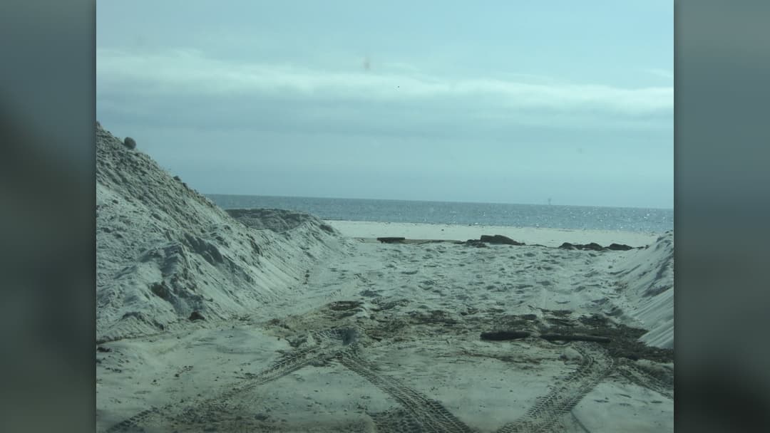
Barrier islands shield thousands of miles of mainland shoreline from hurricanes. According to NOAA and USGS surveys, these dynamic landforms range from coastal spits to unbroken stretches over one hundred miles long.
Swipe or tap ▶ to begin the countdown
©Wikimedia / National Park Service & HeatherMarieKosur
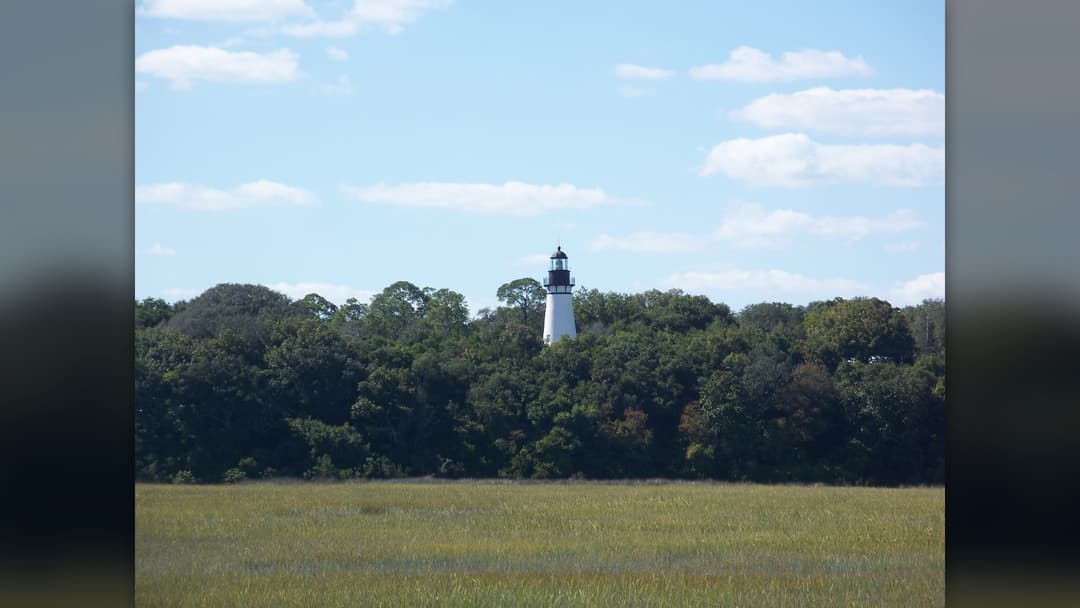
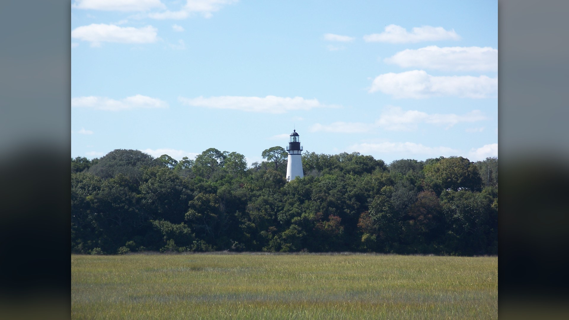
20. Amelia Island, Florida
Amelia Island anchors northeast Florida. Spanish cartographers charted its deep sheltered harbor during sixteenth-century expeditions before plantations developed across the central coastal ridge. Maritime oaks shelter wide Atlantic quartz beaches today.
©Wikimedia / Ebyabe
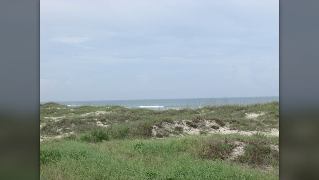
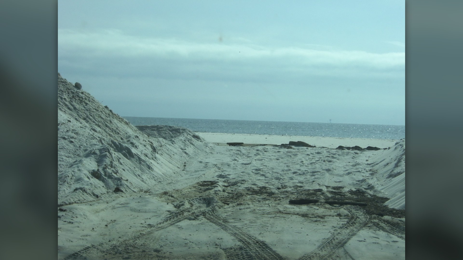
19. Dauphin Island, Alabama
Dauphin Island guards Alabama. French colonial authorities developed their primary Gulf trading station here in 1702 after deep-water soundings confirmed safe access into Mobile Bay. Pine groves shelter exhausted migrating songbirds every spring.
©Wikimedia / HeatherMarieKosur
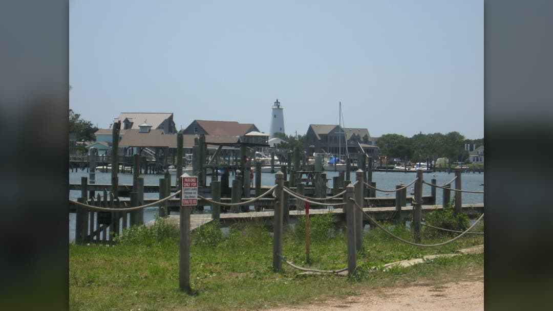
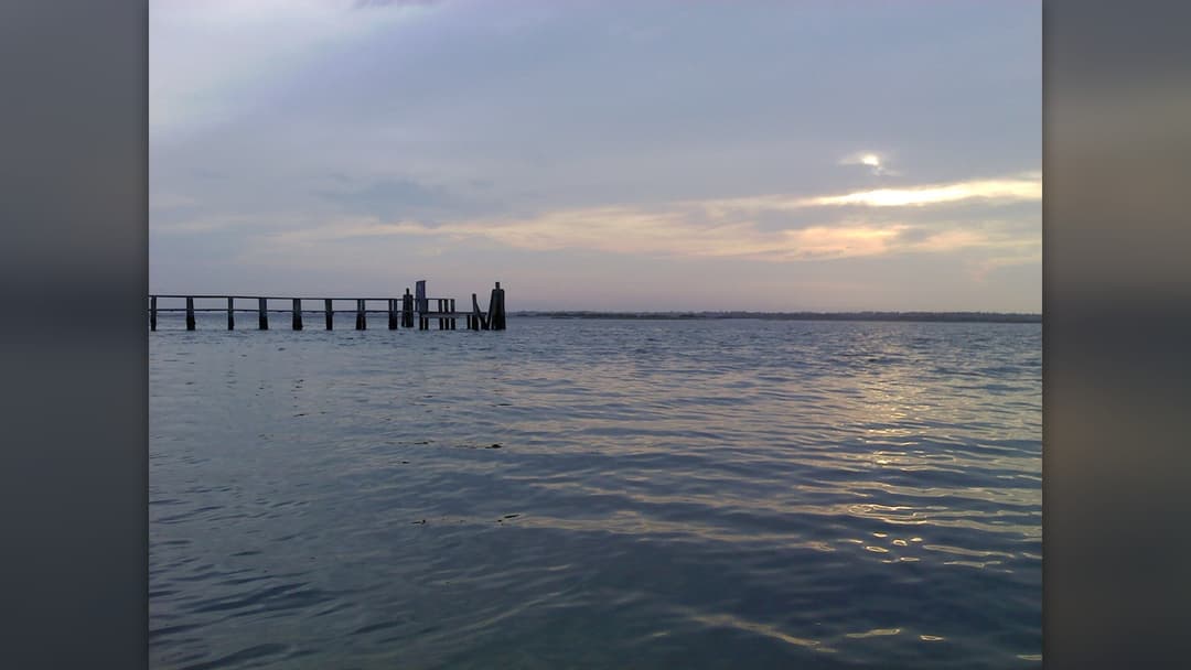
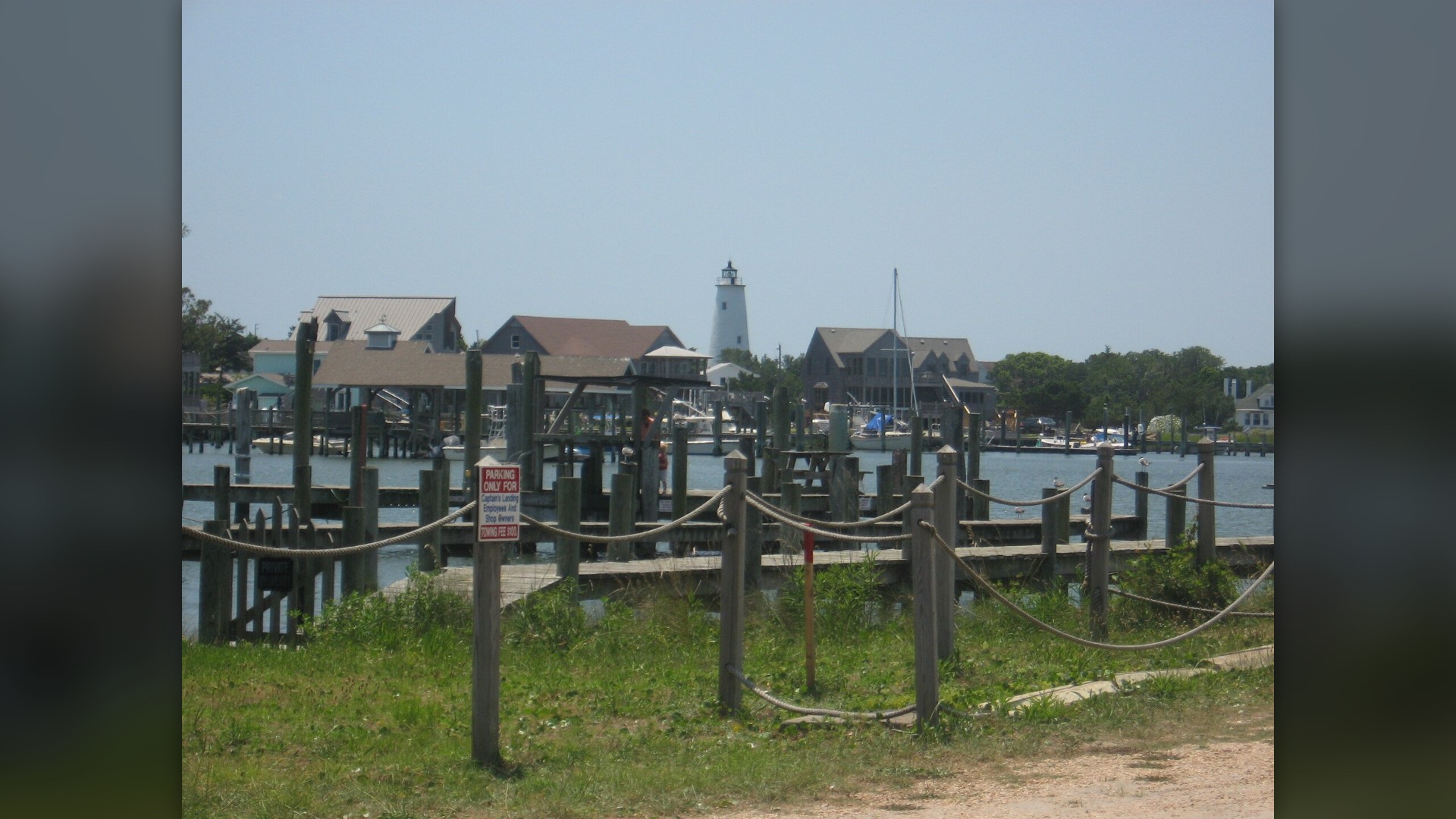
18. Ocracoke Island, North Carolina
Ocracoke remains quiet and remote. State car ferries provide the only regular transportation across Pamlico Sound to reach this isolated eighteen-mile strip of Atlantic shoreline. Blackbeard died in battle off the northern beach.
©Wikimedia / Ocracoke, North Carolina
Advertisement
Swipe or tap ▶ to resume the countdown.
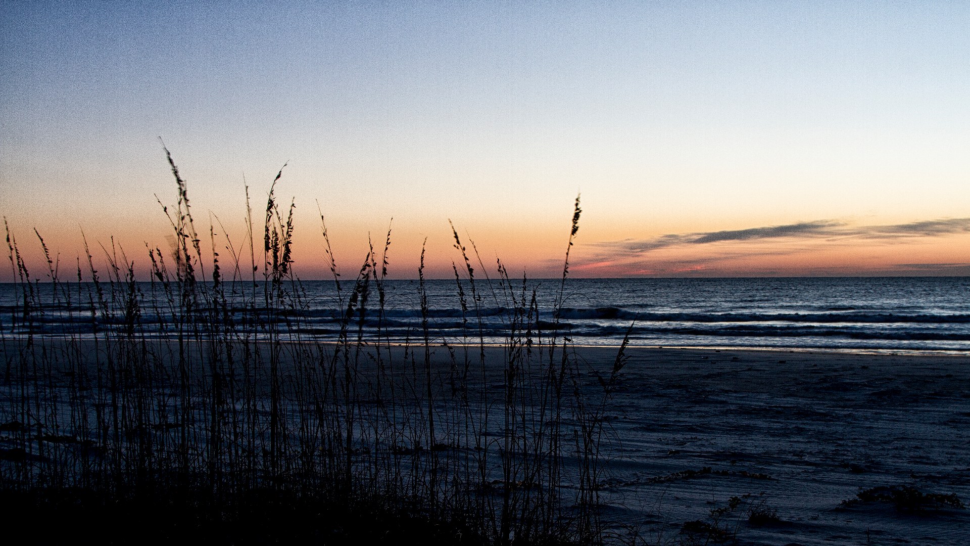
17. Cumberland Island, Georgia
Wild horses roam freely. Congress established Cumberland Island as a protected national seashore in 1972 to preserve uninterrupted coastal dunes, tidal estuaries, and historic ruins. Untouched maritime forests cover the sandy central spine.
©Wikimedia / National Park Service
16. Mustang Island, Texas
Mustang Island flanks Corpus Christi. Wild Spanish horses once galloped along the coastal flats before regional cattle ranchers built permanent grazing outposts across the dunes. Endangered Kemp's ridley sea turtles nest here.
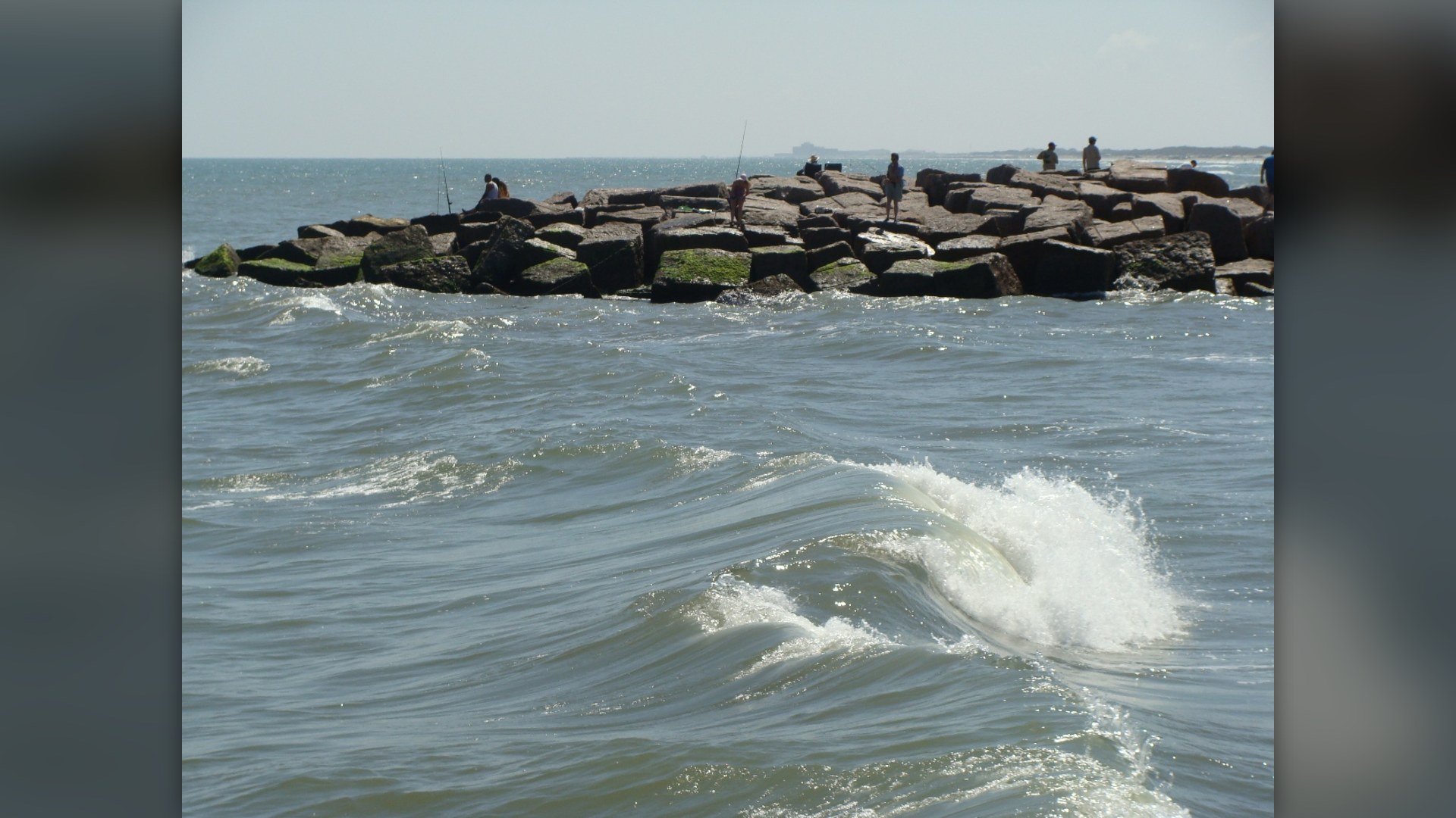
©Wikimedia / Zereshk
15. Bogue Banks, North Carolina
Bogue Banks runs east-west. The twenty-one-mile barrier ridge protects mainland coastal communities from major hurricane surges sweeping northward along the warm Carolina Gulf Stream. Confederate forces defended Fort Macon during the Civil War.
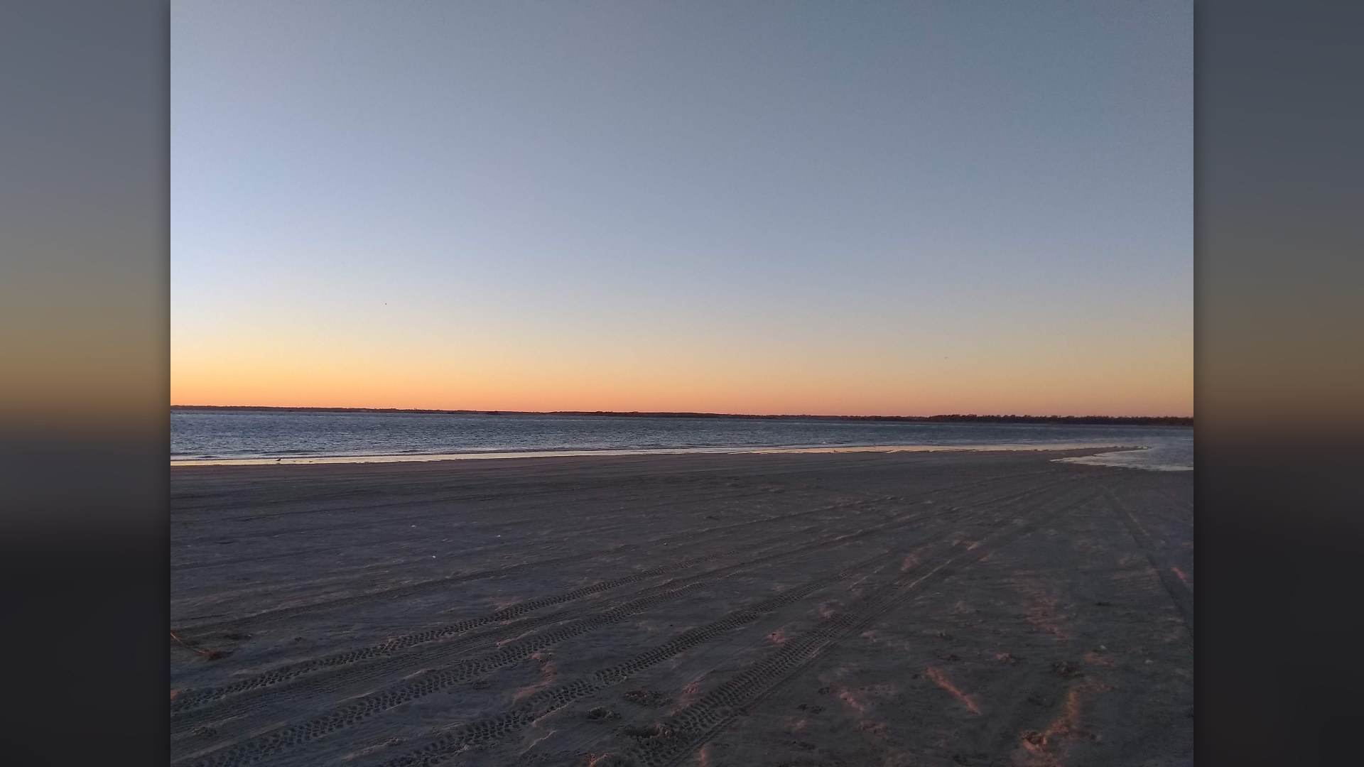
©Wikimedia / Vahurzpu
14. San Jose Island, Texas
No paved roads exist. This private island stretches twenty-one miles between Aransas Pass and Cedar Bayou without municipal power lines or permanent resident housing. Migrating waterfowl gather along vast private marsh flats.
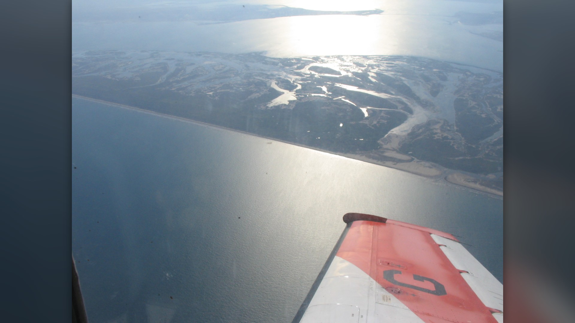
©Wikimedia / Agsftw
Advertisement
Swipe or tap ▶ to resume the countdown.
13. Core Banks, North Carolina
Cape Lookout anchors Core Banks. The National Park Service maintains this undeveloped twenty-three-mile strip as wilderness where vehicle access requires driving specially permitted four-wheel trucks across loose sand. A diamond-patterned lighthouse warns coastal shipping lanes.
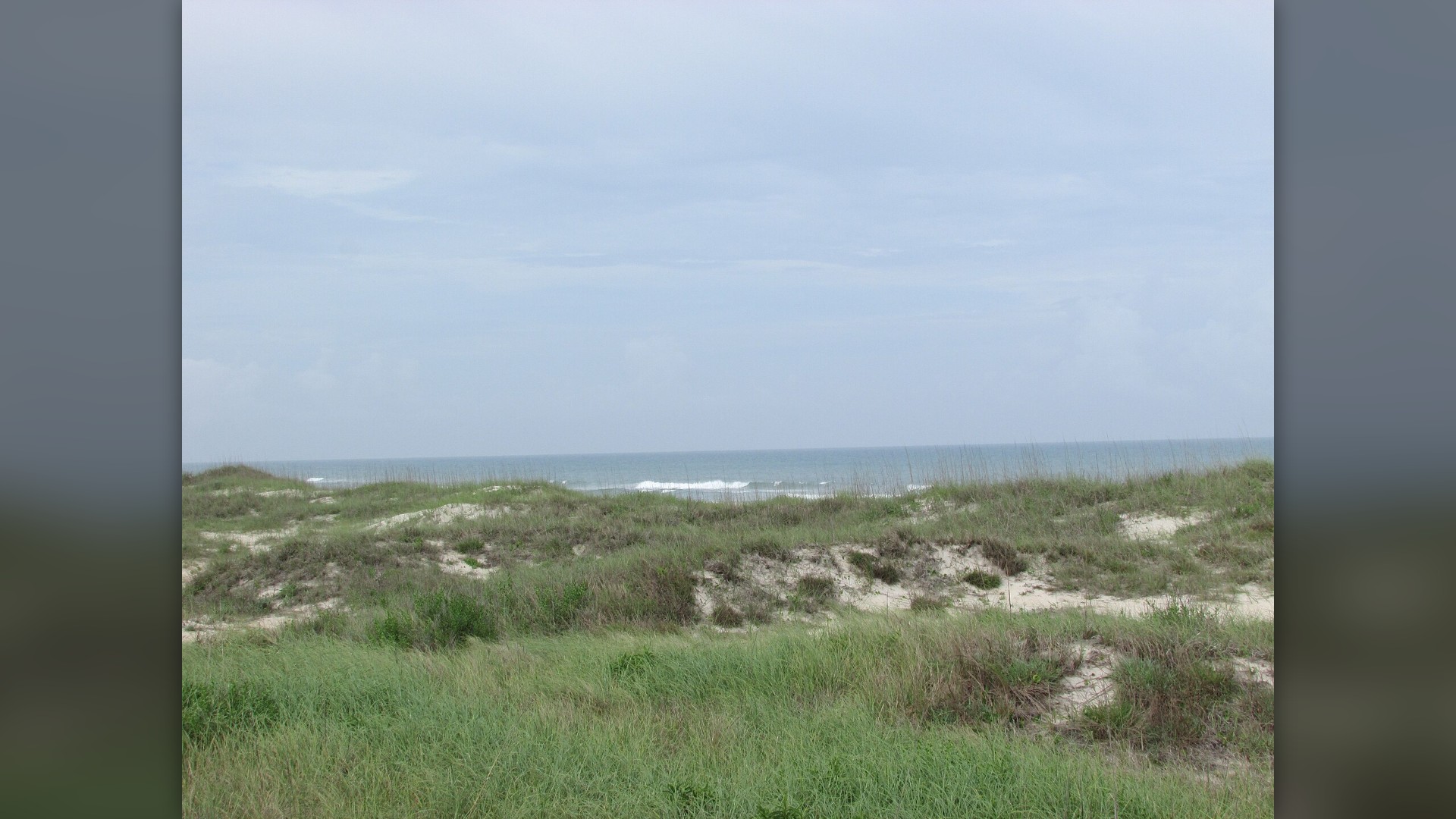
©Wikimedia / DrStew82
12. Topsail Island, North Carolina
Topsail holds secret military history. The United States Navy operated Operation Bumblebee here during 1946 to test ramjet missile engines along the remote Atlantic beachfront. Quiet residential towns now occupy the narrow dunes.
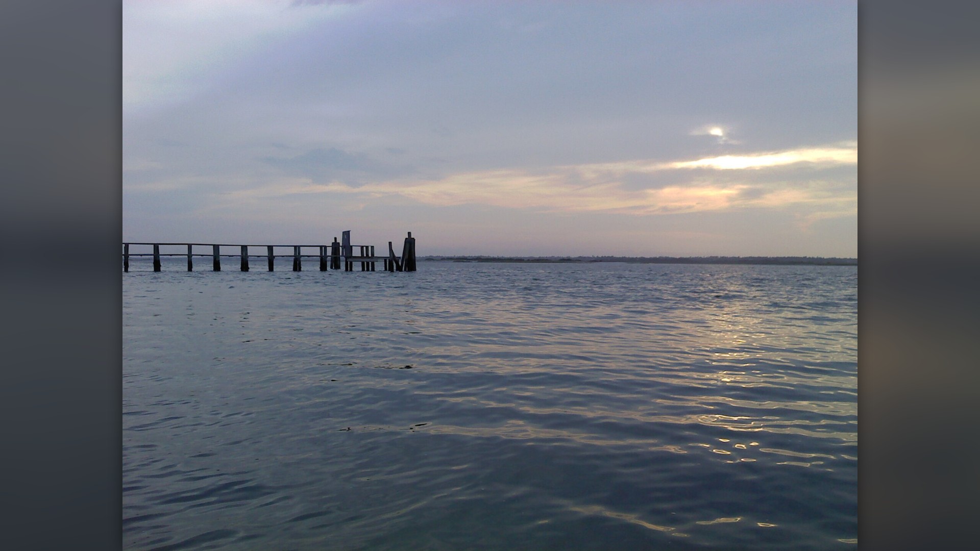
©Wikimedia / Topsail Island
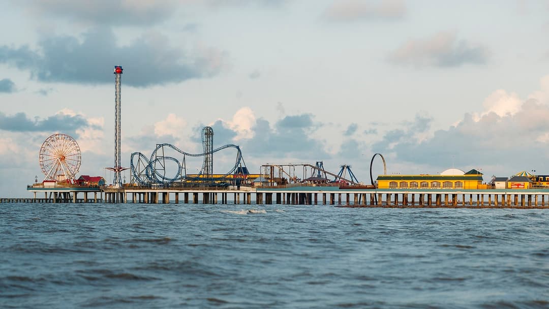
11. Galveston Island, Texas
Galveston survived massive storms. Engineers constructed an iconic seventeen-foot concrete seawall along the beachfront following the deadly 1900 hurricane that destroyed thousands of island homes. Victorian commercial architecture defines the historic Strand district.
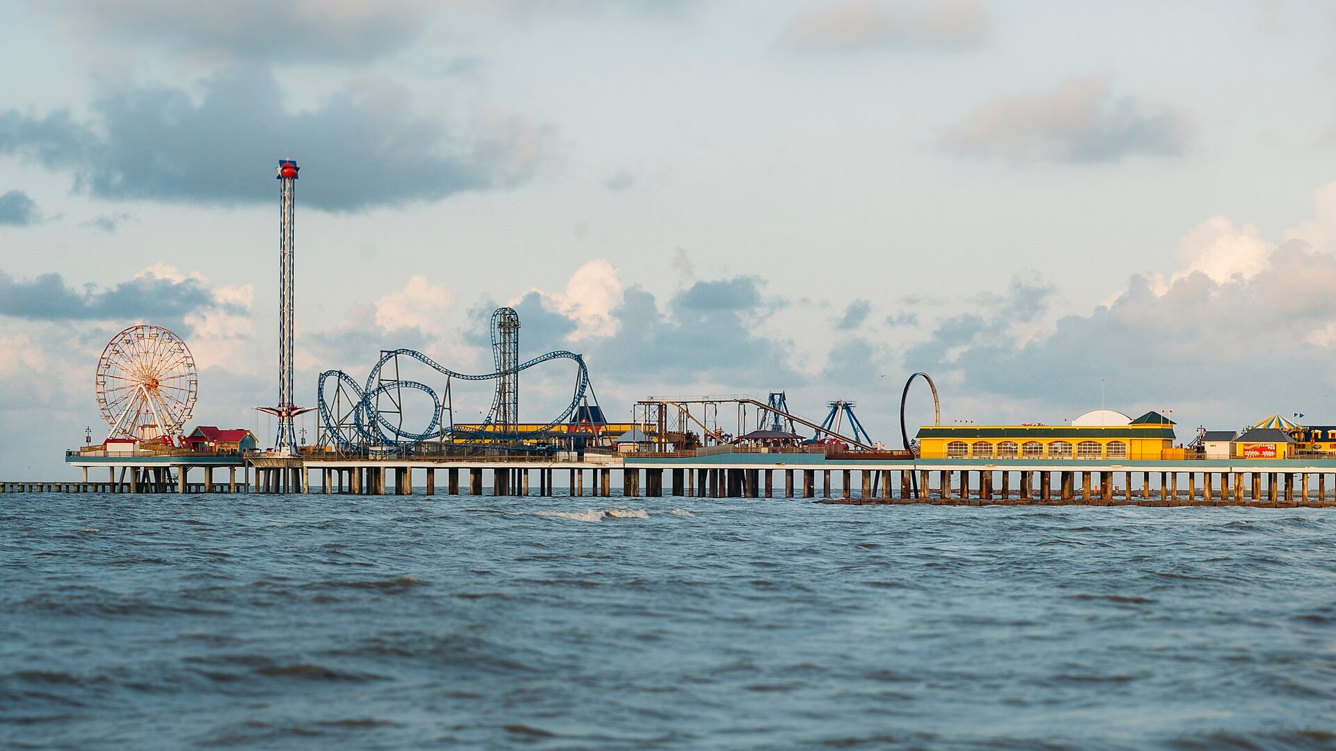
©Wikimedia / Matthew T Rader
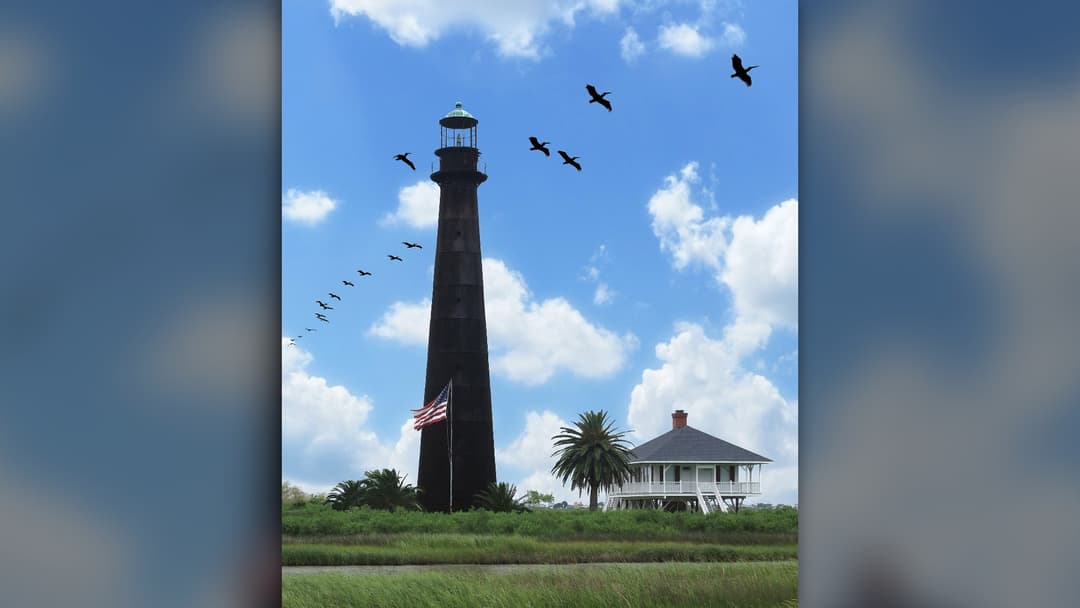
10. Bolivar Peninsula, Texas
Bolivar Peninsula shields East Bay. The long coastal barrier ridge buffers Galveston Bay maritime shipping channels from open Gulf swells and dangerous incoming tropical storm tides. A cast-iron lighthouse guided ships for fifty years.
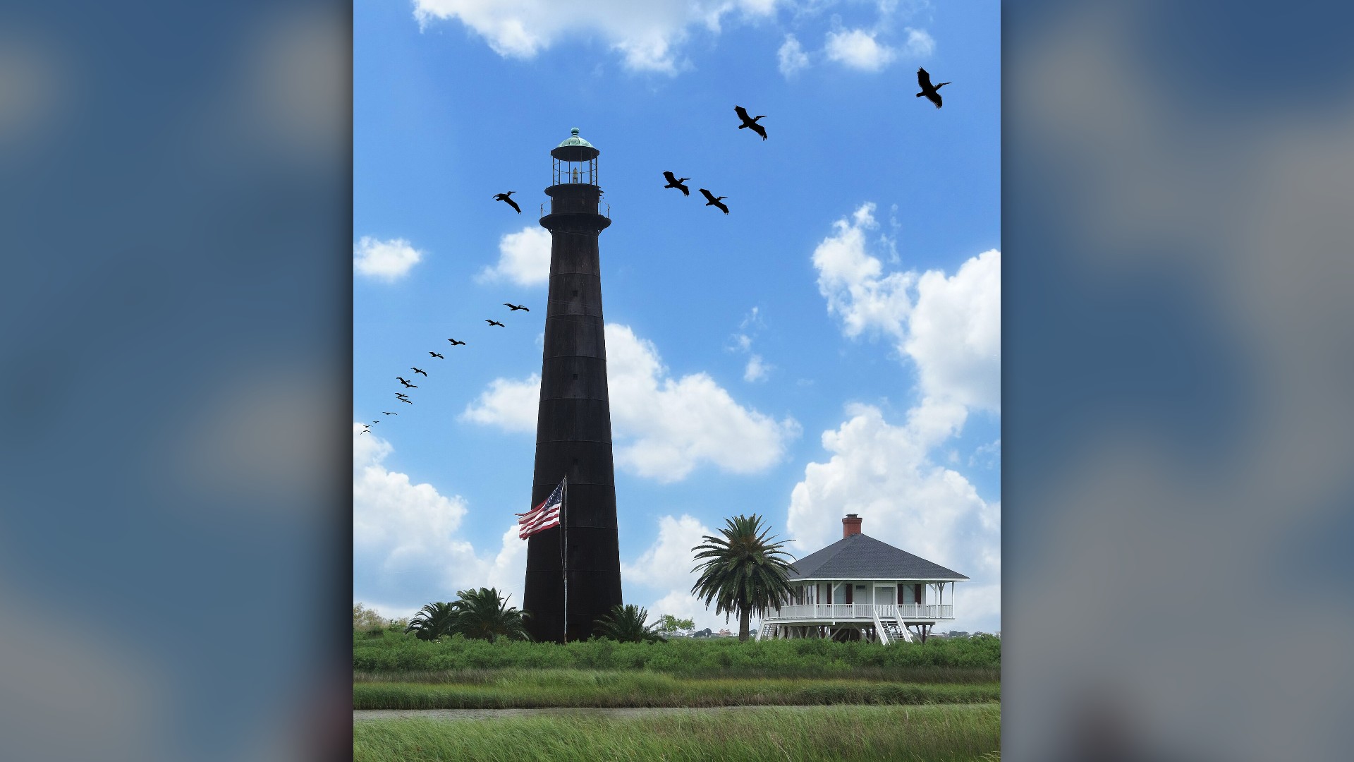
©Wikimedia / Bolivar Peninsula, Texas
Advertisement
Swipe or tap ▶ to resume the countdown.
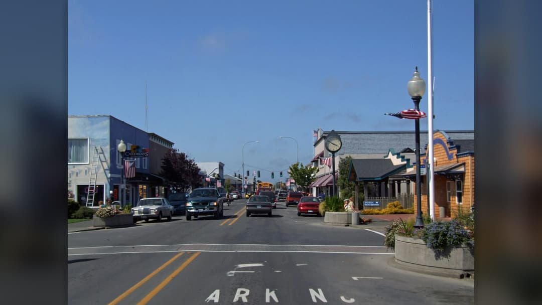
9. Long Beach Peninsula, Washington
Long Beach faces breakers. The twenty-eight-mile Washington sand spit ranks among the longest continuous ocean driveways anywhere on the rugged Pacific coast of North America. Lewis and Clark explored the stormy ocean termination.
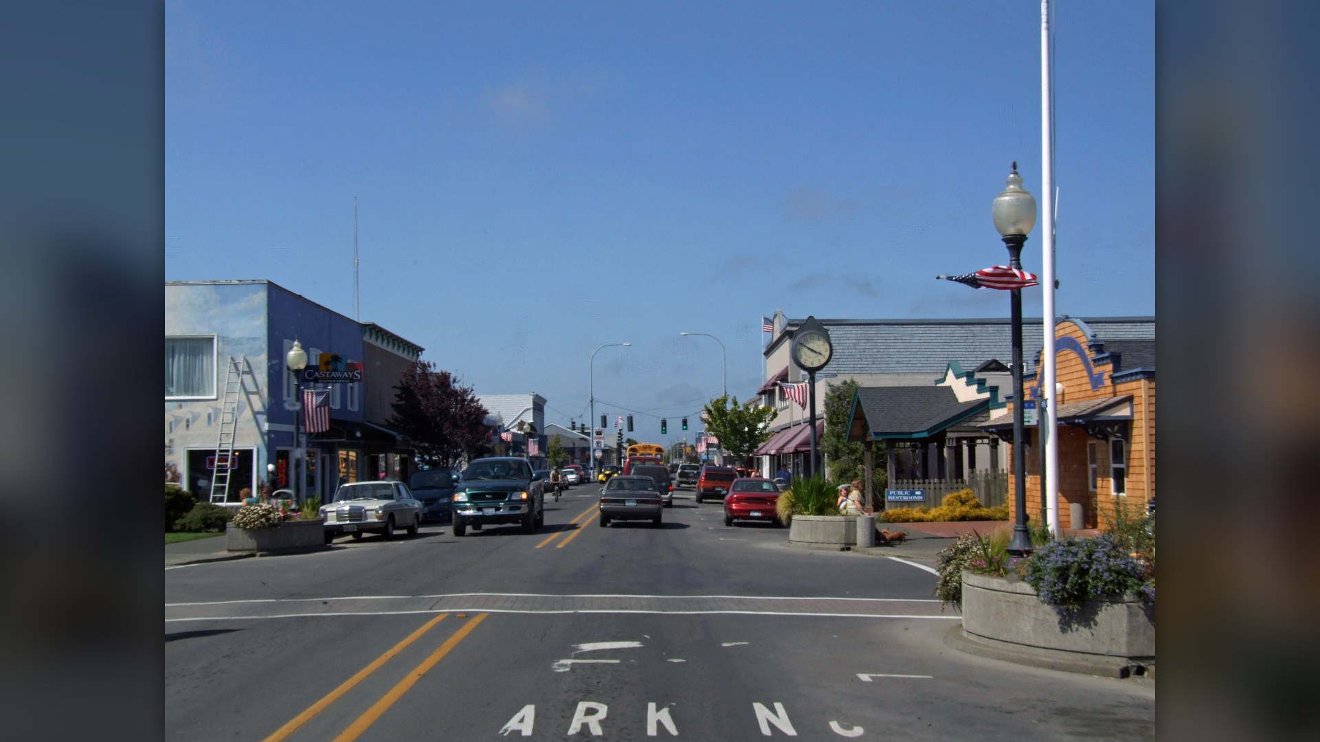
©Wikimedia / FelixRo
8. St. George Island, Florida
St. George shields Apalachicola. The barrier landmass shelters delicate estuarine oyster beds from fierce Gulf squalls while preserving expansive public beaches on its eastern reserve. Reconstructed lighthouse masonry marks the central public park.
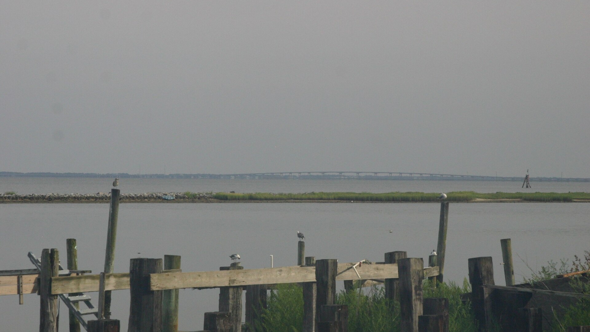
©Wikimedia / swhitfield
7. Fire Island, New York
Fire Island bars cars. Only ferries carry summer residents across Great South Bay to sixteen tiny boardwalk communities clustered along this slender thirty-two-mile barrier strip. An ancient sunken maritime forest thrives behind dunes.
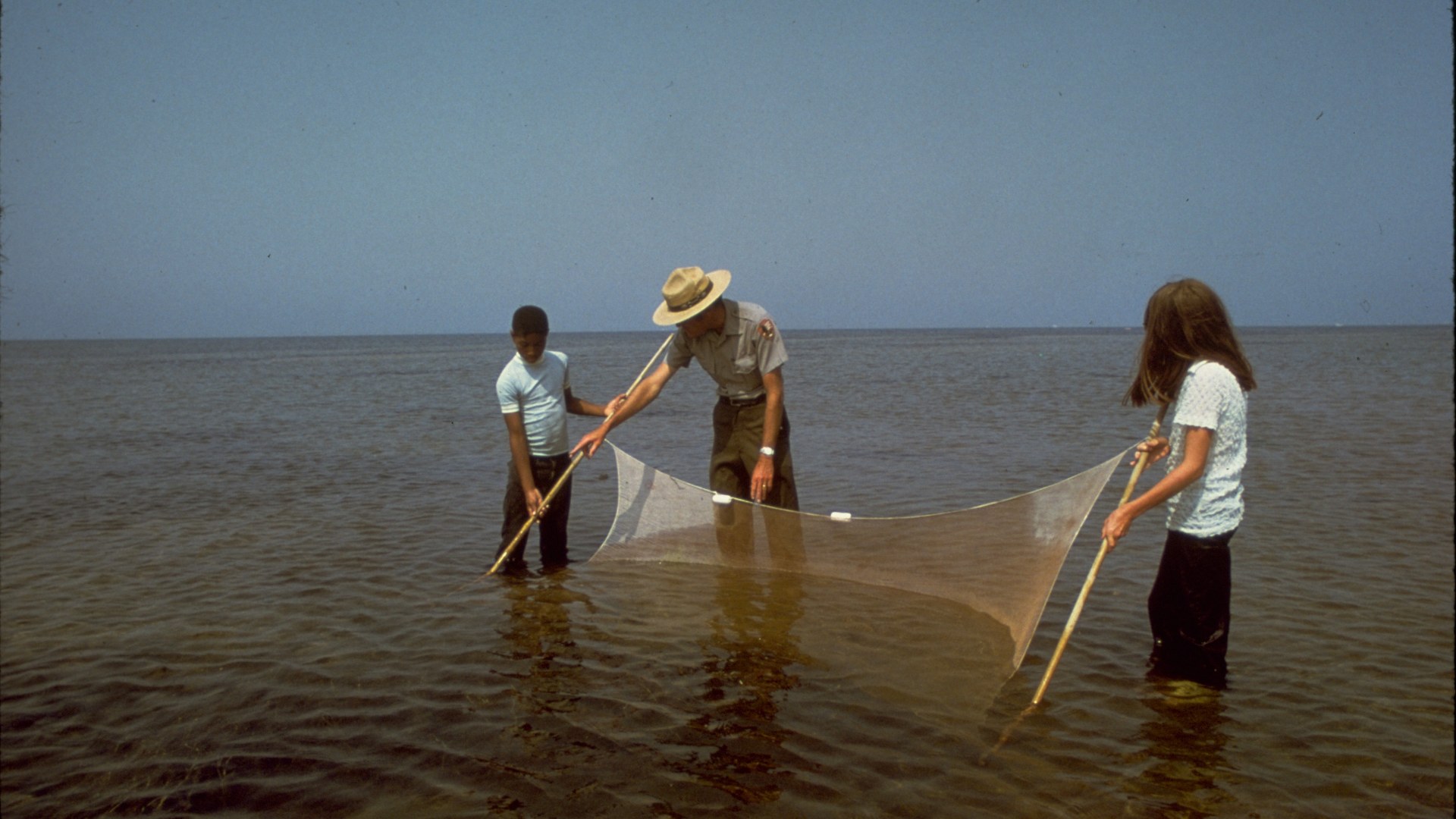
©Wikimedia / National Park Service
6. Assateague Island, Maryland And Virginia
Assateague spans state boundaries. Wild ponies graze coarse marsh grasses along thirty-seven miles of shifting ocean dunes managed jointly by federal and state wildlife agencies. Heavy Atlantic winter nor'easters constantly reshape the shoreline.
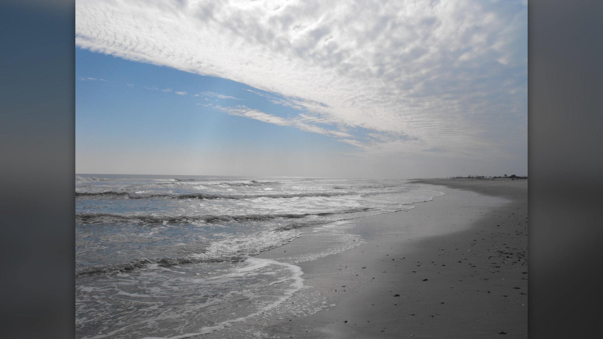
©Wikimedia / U.S. Fish and Wildlife Service
Advertisement
Swipe or tap ▶ to resume the countdown.
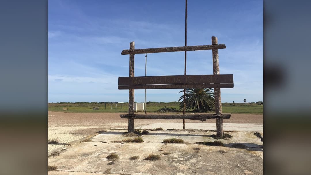
5. Matagorda Island, Texas
Matagorda preserves coastal wilderness. No commercial bridges connect this thirty-eight-mile barrier expanse where state wildlife officials safeguard critical wintering grounds for endangered whooping cranes. A black cast-iron tower stands near Saluria.
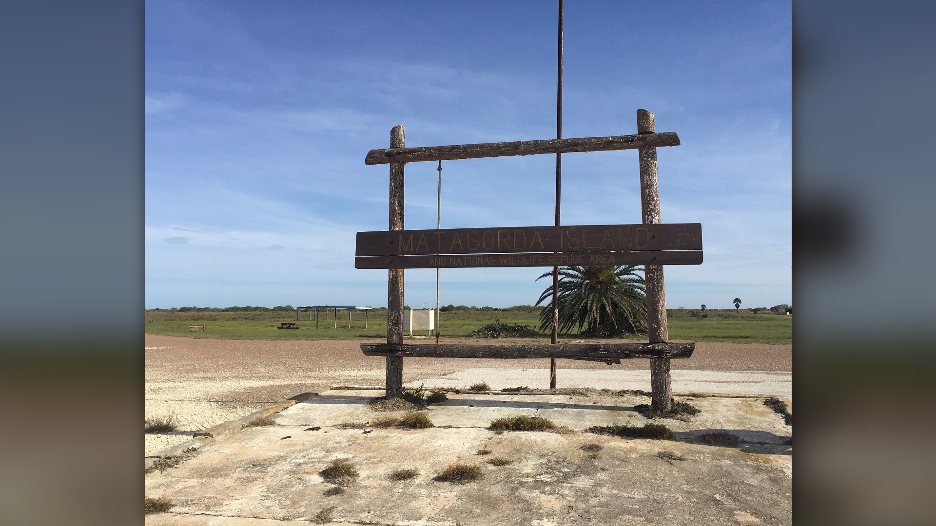
©Wikimedia / WhisperToMe
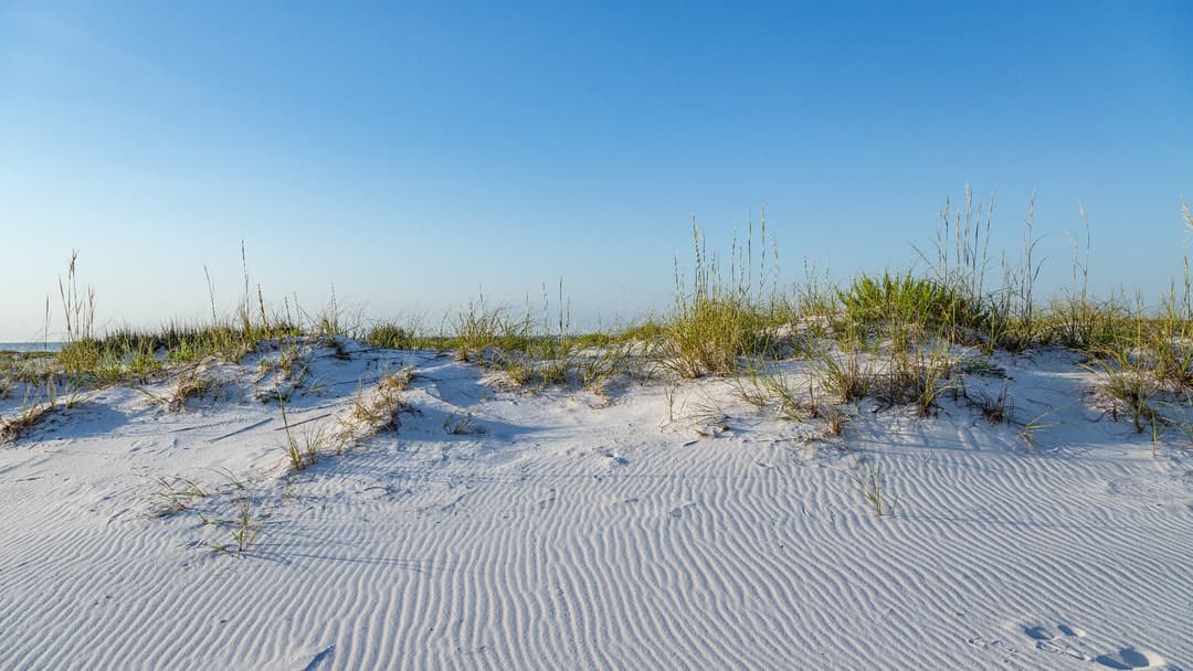
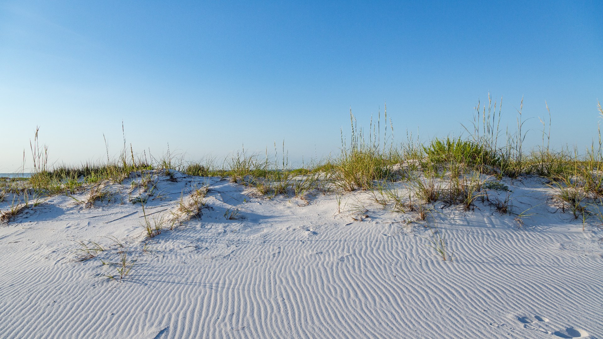
4. Santa Rosa Island, Florida
Pure quartz sand gleams in sunlight. Erosion from Appalachian mountain granite created forty miles of powdery white beaches stretching between Pensacola Pass and Destin in northwest Florida. Fort Pickens guarded the deep naval harbor entrance.
©Wikimedia / Tony Webster
3. Currituck Spit, North Carolina
Currituck connects two states. This forty-five-mile barrier spit extends southward from Virginia into Corolla where colonial Spanish mustangs still wander across the outer dunes. An unpainted red brick lighthouse was finished in 1875.
©Internet Archive / Public Domain Archive
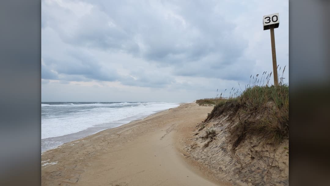
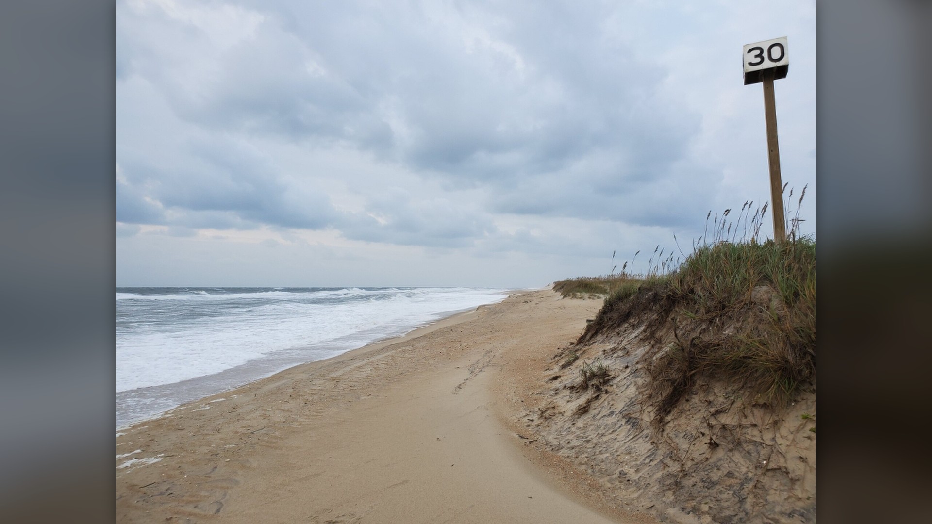
2. Hatteras Island, North Carolina
Hatteras bends into hurricanes. Extending fifty miles into the Atlantic, the island marks Diamond Shoals where warm Gulf waters meet icy northern currents in treacherous seas. The black-and-white spiral lighthouse guided generations of sailors.
©Wikimedia / Cape Hatteras National Seashore
Advertisement
Swipe or tap ▶ to resume the countdown.
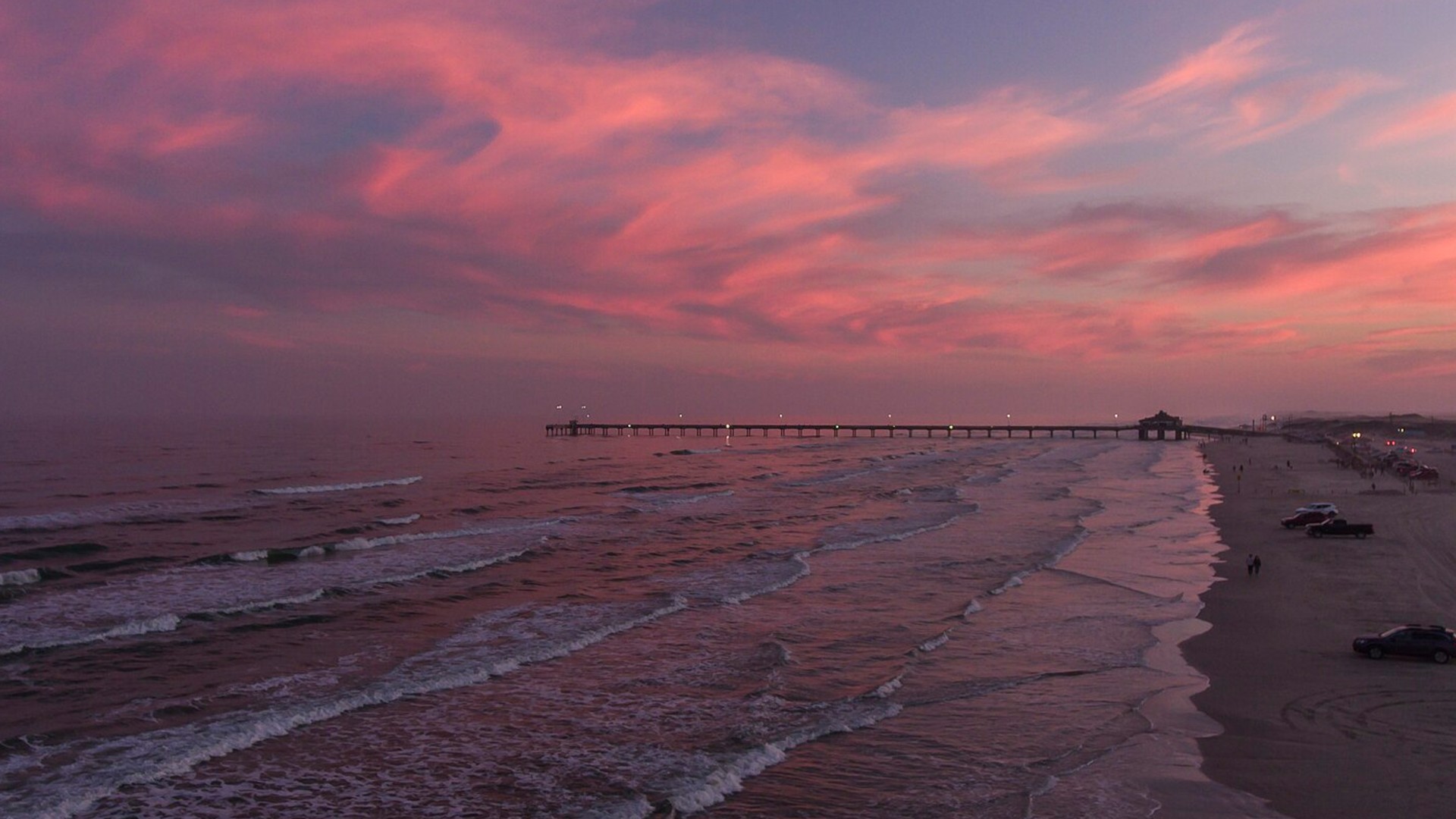
1. Padre Island, Texas
Padre Island tops all. Stretching one hundred thirteen miles along south Texas, this colossal barrier protects Laguna Madre and remains the longest undeveloped barrier island worldwide. Federal preserves protect sixty-six miles of untouched beaches.
©Wikimedia / Matthew T Rader
Advertisement
You've reached the end of the story. Thanks for reading!

America’s 20 Top Ski Towns to Visit This Winter
American ski towns combine massive vertical drops, preserved mining architecture, and deep powder traditions. Based on 2026 National Ski Areas Association records, U.S. Forest Service terrain surveys, and official resort reports, here are 20 top mountain towns across the country ranked by their winter popularity.
All 20 Entries in this Story
20. Amelia Island, Florida
Amelia Island anchors northeast Florida. Spanish cartographers charted its deep sheltered harbor during sixteenth-century expeditions before plantations developed across the central coastal ridge. Maritime oaks shelter wide Atlantic quartz beaches today.

19. Dauphin Island, Alabama
Dauphin Island guards Alabama. French colonial authorities developed their primary Gulf trading station here in 1702 after deep-water soundings confirmed safe access into Mobile Bay. Pine groves shelter exhausted migrating songbirds every spring.

18. Ocracoke Island, North Carolina
Ocracoke remains quiet and remote. State car ferries provide the only regular transportation across Pamlico Sound to reach this isolated eighteen-mile strip of Atlantic shoreline. Blackbeard died in battle off the northern beach.

17. Cumberland Island, Georgia
Wild horses roam freely. Congress established Cumberland Island as a protected national seashore in 1972 to preserve uninterrupted coastal dunes, tidal estuaries, and historic ruins. Untouched maritime forests cover the sandy central spine.

16. Mustang Island, Texas
Mustang Island flanks Corpus Christi. Wild Spanish horses once galloped along the coastal flats before regional cattle ranchers built permanent grazing outposts across the dunes. Endangered Kemp's ridley sea turtles nest here.

15. Bogue Banks, North Carolina
Bogue Banks runs east-west. The twenty-one-mile barrier ridge protects mainland coastal communities from major hurricane surges sweeping northward along the warm Carolina Gulf Stream. Confederate forces defended Fort Macon during the Civil War.

14. San Jose Island, Texas
No paved roads exist. This private island stretches twenty-one miles between Aransas Pass and Cedar Bayou without municipal power lines or permanent resident housing. Migrating waterfowl gather along vast private marsh flats.

13. Core Banks, North Carolina
Cape Lookout anchors Core Banks. The National Park Service maintains this undeveloped twenty-three-mile strip as wilderness where vehicle access requires driving specially permitted four-wheel trucks across loose sand. A diamond-patterned lighthouse warns coastal shipping lanes.

12. Topsail Island, North Carolina
Topsail holds secret military history. The United States Navy operated Operation Bumblebee here during 1946 to test ramjet missile engines along the remote Atlantic beachfront. Quiet residential towns now occupy the narrow dunes.

11. Galveston Island, Texas
Galveston survived massive storms. Engineers constructed an iconic seventeen-foot concrete seawall along the beachfront following the deadly 1900 hurricane that destroyed thousands of island homes. Victorian commercial architecture defines the historic Strand district.

10. Bolivar Peninsula, Texas
Bolivar Peninsula shields East Bay. The long coastal barrier ridge buffers Galveston Bay maritime shipping channels from open Gulf swells and dangerous incoming tropical storm tides. A cast-iron lighthouse guided ships for fifty years.

9. Long Beach Peninsula, Washington
Long Beach faces breakers. The twenty-eight-mile Washington sand spit ranks among the longest continuous ocean driveways anywhere on the rugged Pacific coast of North America. Lewis and Clark explored the stormy ocean termination.

8. St. George Island, Florida
St. George shields Apalachicola. The barrier landmass shelters delicate estuarine oyster beds from fierce Gulf squalls while preserving expansive public beaches on its eastern reserve. Reconstructed lighthouse masonry marks the central public park.

7. Fire Island, New York
Fire Island bars cars. Only ferries carry summer residents across Great South Bay to sixteen tiny boardwalk communities clustered along this slender thirty-two-mile barrier strip. An ancient sunken maritime forest thrives behind dunes.

6. Assateague Island, Maryland And Virginia
Assateague spans state boundaries. Wild ponies graze coarse marsh grasses along thirty-seven miles of shifting ocean dunes managed jointly by federal and state wildlife agencies. Heavy Atlantic winter nor'easters constantly reshape the shoreline.

5. Matagorda Island, Texas
Matagorda preserves coastal wilderness. No commercial bridges connect this thirty-eight-mile barrier expanse where state wildlife officials safeguard critical wintering grounds for endangered whooping cranes. A black cast-iron tower stands near Saluria.

4. Santa Rosa Island, Florida
Pure quartz sand gleams in sunlight. Erosion from Appalachian mountain granite created forty miles of powdery white beaches stretching between Pensacola Pass and Destin in northwest Florida. Fort Pickens guarded the deep naval harbor entrance.

3. Currituck Spit, North Carolina
Currituck connects two states. This forty-five-mile barrier spit extends southward from Virginia into Corolla where colonial Spanish mustangs still wander across the outer dunes. An unpainted red brick lighthouse was finished in 1875.

2. Hatteras Island, North Carolina
Hatteras bends into hurricanes. Extending fifty miles into the Atlantic, the island marks Diamond Shoals where warm Gulf waters meet icy northern currents in treacherous seas. The black-and-white spiral lighthouse guided generations of sailors.

1. Padre Island, Texas
Padre Island tops all. Stretching one hundred thirteen miles along south Texas, this colossal barrier protects Laguna Madre and remains the longest undeveloped barrier island worldwide. Federal preserves protect sixty-six miles of untouched beaches.