Slideshow · Viral
22 of the Most Unwelcoming Places on Earth
From toxic volcanic sulfur vents and freezing polar deserts to radiation hot zones and deadly viper colonies, our planet contains regions where human survival is virtually impossible. This gallery explores twenty-two unwelcoming places, examining extreme climates, natural hazards, and strict legal exclusions.
By Most Viral Today
12 min ago

Cover: Earth's Most Unwelcoming Places 
22. Mount Washington 
21. Atacama Desert 
20. Oymyakon - AdvertisementSwipe or tap ▶ to continue countdown

19. Dallol 
18. Death Valley 
17. Skeleton Coast 
16. Lake Natron - AdvertisementSwipe or tap ▶ to continue countdown

15. Ilha Da Queimada Grande 
14. North Yungas Road 
13. Darvaza Gas Crater 
12. Poveglia Island - AdvertisementSwipe or tap ▶ to continue countdown

11. Zone Rouge 
10. Centralia 
9. Lake Nyos 
8. Gruinard Island - AdvertisementSwipe or tap ▶ to continue countdown

7. Chernobyl Exclusion Zone 
6. Bikini Atoll 
5. Bouvet Island 
4. Mount Everest Death Zone - AdvertisementSwipe or tap ▶ to continue countdown

3. Challenger Deep 
2. McMurdo Dry Valleys 
1. North Sentinel Island - Advertisement🔥 UP NEXT IN THIS SERIES◫ 21 Slides

20 Plants and Trees Mentioned in the Bible
From ancient olive groves to the cedars of Lebanon, flora played a vital role in biblical narratives and daily life. Scripture records over a hundred species valued for food, timber, medicine and sacred rituals. This gallery presents twenty iconic plants and trees documented across the Old and New Testaments.
This gallery examines twenty-two hostile environments on Earth, arranged in ascending order of danger, physical isolation, and environmental severity. Scientific data and climate measurements come from meteorological monitoring records, geological surveys, oceanographic studies, and government exclusion orders.
Swipe or tap ▶ to begin the countdown
©Pixabay / lutz6078 & Wikimedia / George Chernilevsky
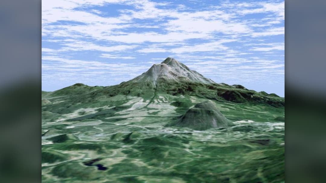
22. Mount Washington
Mount Washington in New Hampshire experiences some of the most erratic weather on Earth. The summit observatory recorded a surface wind gust of 231 miles per hour in April 1934, which held the global record for decades. Winter temperatures frequently drop below minus 40 degrees Fahrenheit with rapid weather shifts.
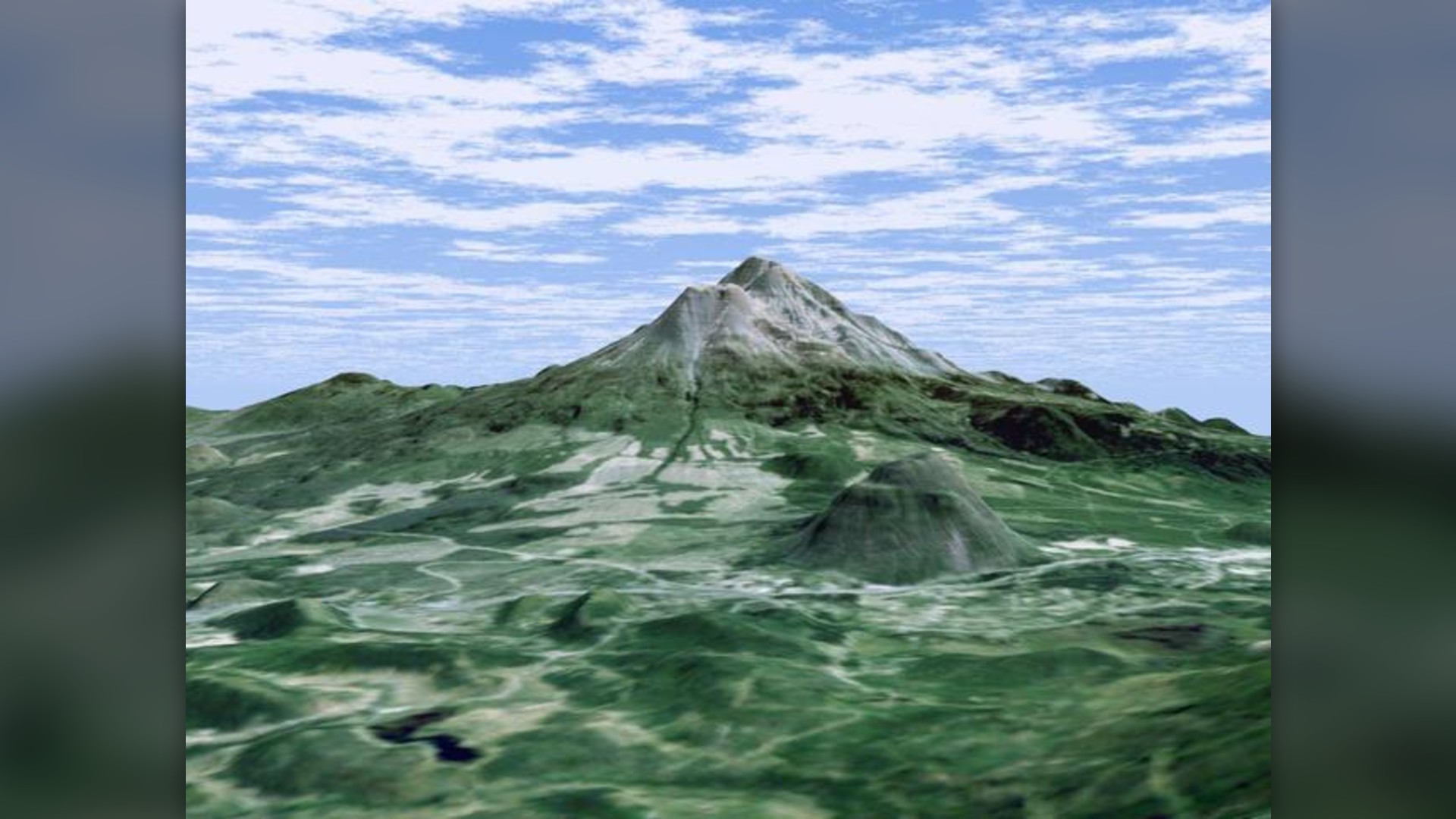
©NASA / JPL
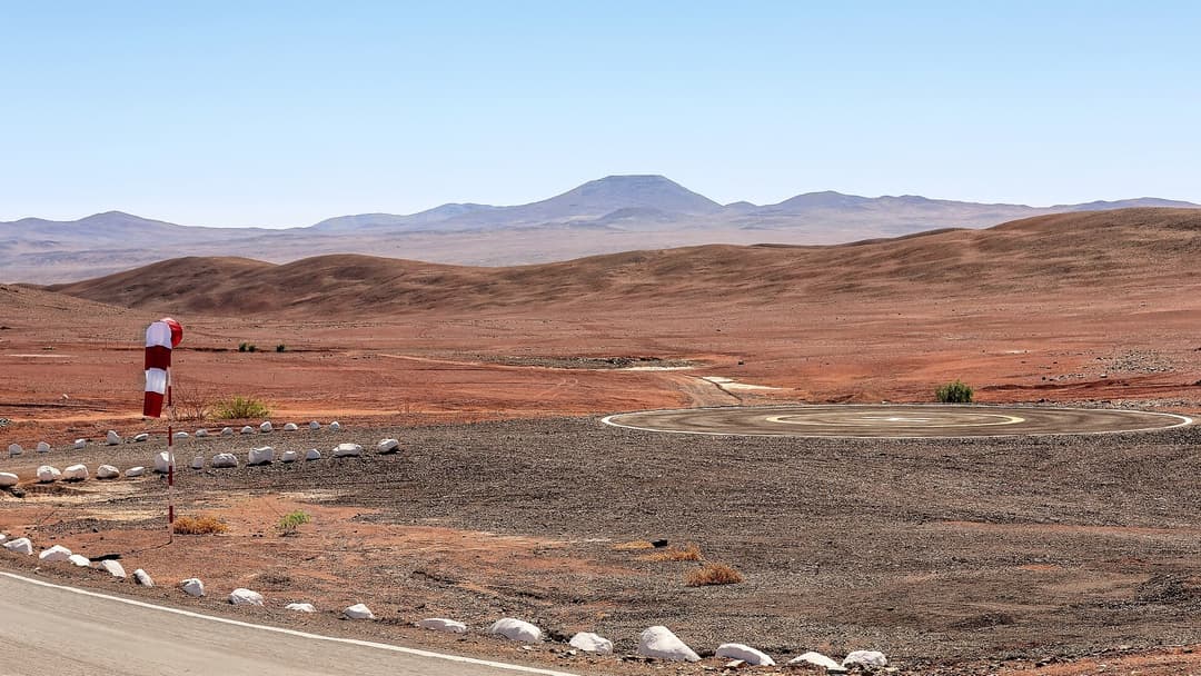
21. Atacama Desert
The Atacama Desert in northern Chile is the driest non-polar desert on Earth, wedged between the Andes Mountains and the Chilean Coastal Range. Some weather stations in the core plateau have never recorded a single drop of rain. Its hyper-arid soil composition is so barren that NASA uses it to test Mars rovers.
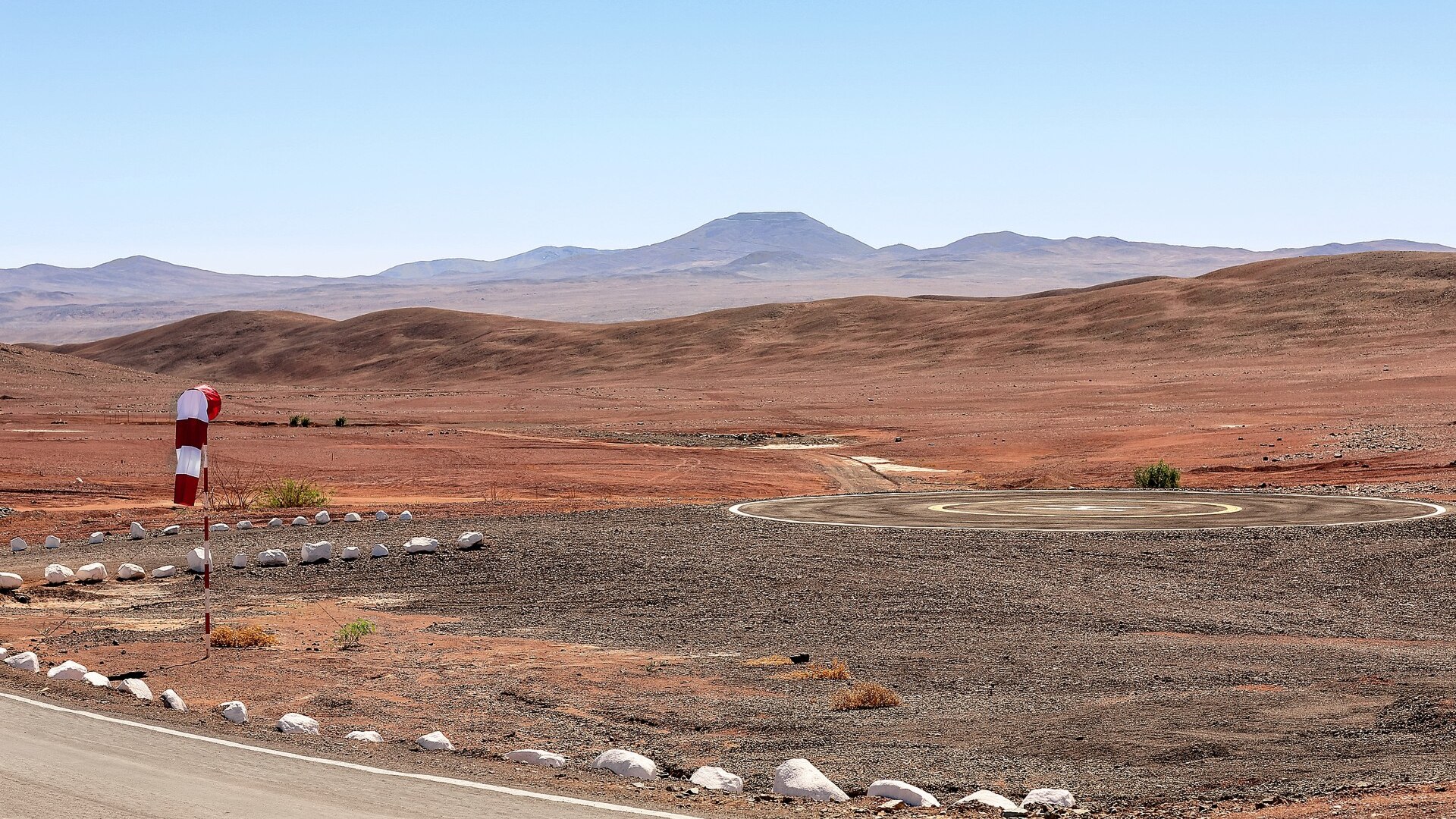
©Wikimedia / L. Honnorat/ESO
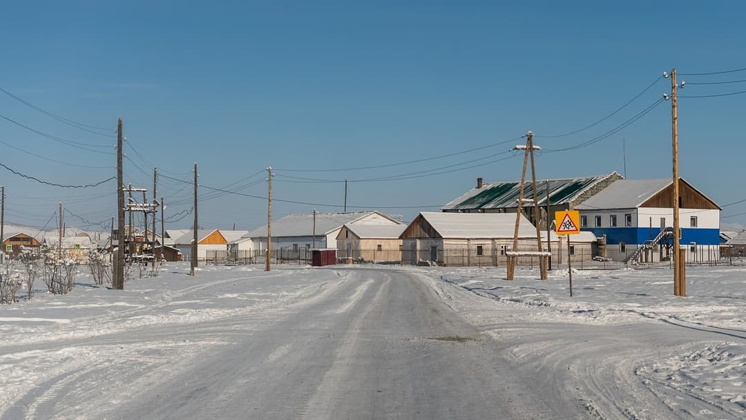
20. Oymyakon
Oymyakon is a rural locality in eastern Russia where winter conditions test the outer limits of human endurance. In 1933, the local weather station recorded an official low of minus 67.7 degrees Celsius. Ground permafrost remains permanently frozen hundreds of feet deep, requiring engine heating blocks day and night.
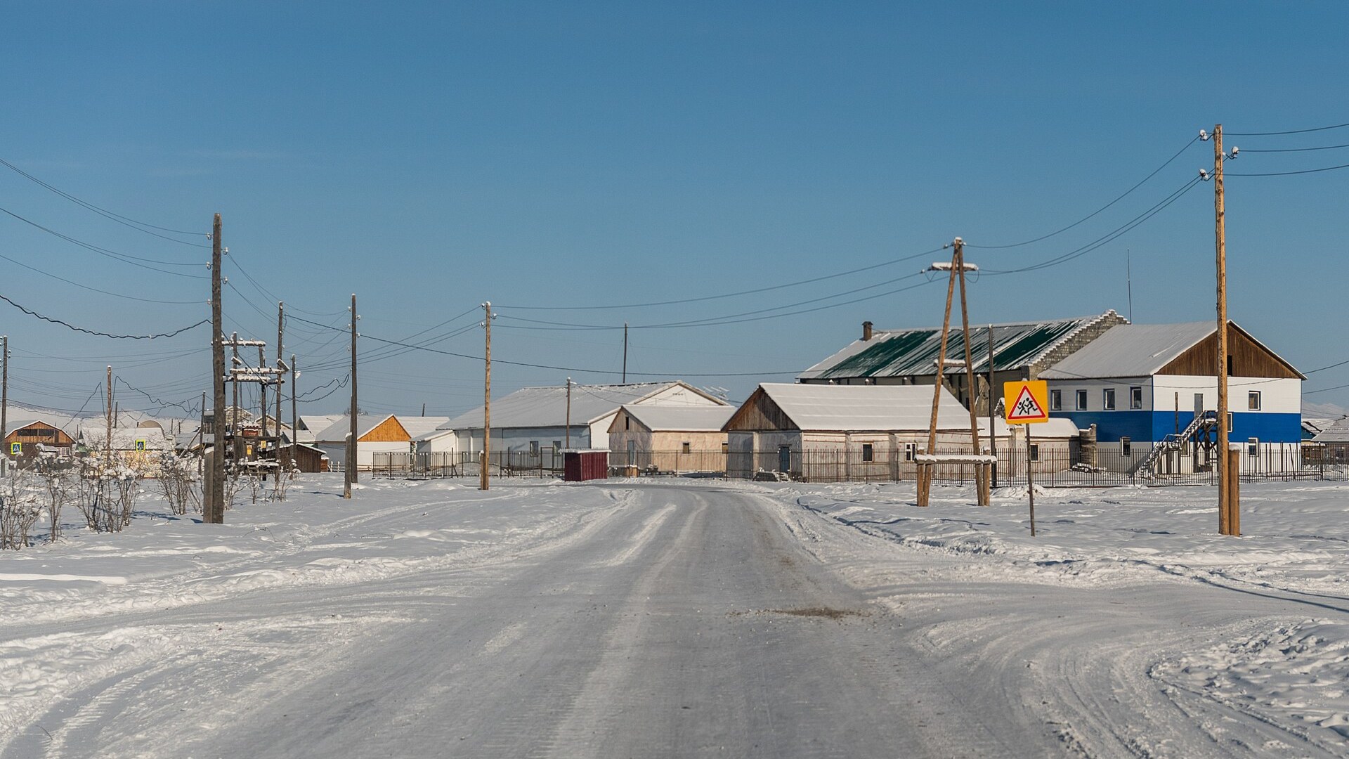
©Wikimedia / Ilya Varlamov
Advertisement
Swipe or tap ▶ to resume the countdown.
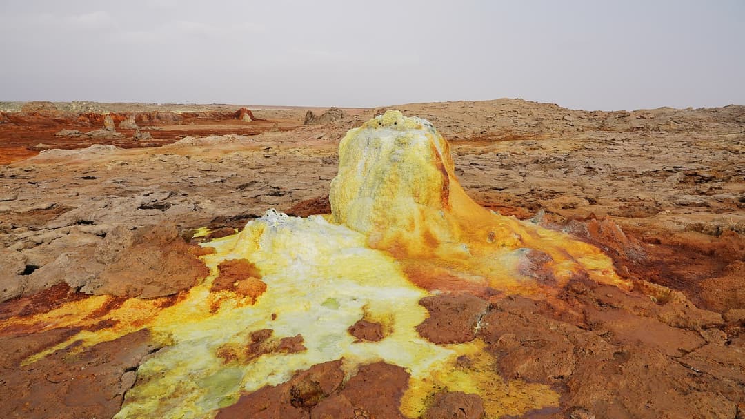
19. Dallol
Dallol sits 426 feet below sea level in the Danakil Depression of northern Ethiopia. The hydrothermal field features neon green acid pools, sulfur crusts, and venting chlorine gases. With average year-round temperatures exceeding 94 degrees Fahrenheit, Dallol holds the record for the hottest inhabited place on Earth.
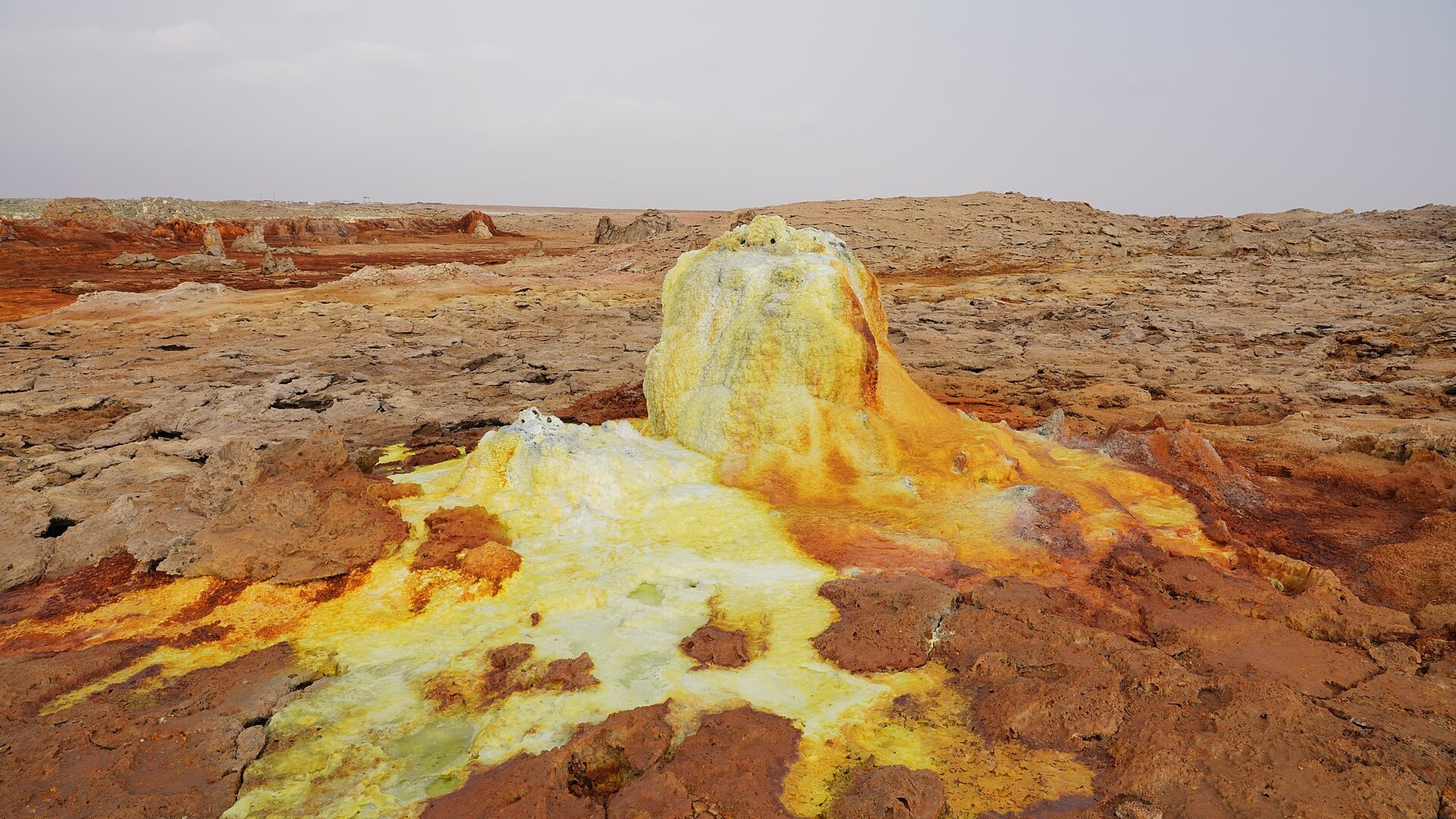
©Wikimedia / A.Savin
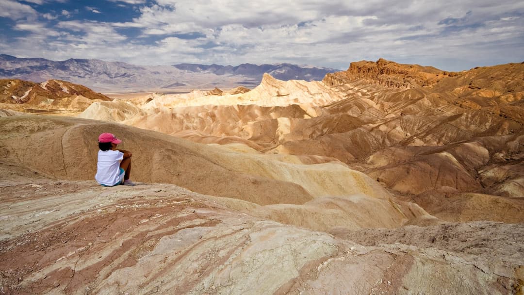
18. Death Valley
Death Valley National Park in California encompasses Badwater Basin, the lowest point in North America at 282 feet below sea level. In July 1913, Furnace Creek recorded a world record air temperature of 134 degrees Fahrenheit. Summer ground surface heat often surpasses 200 degrees Fahrenheit, vaporizing moisture.
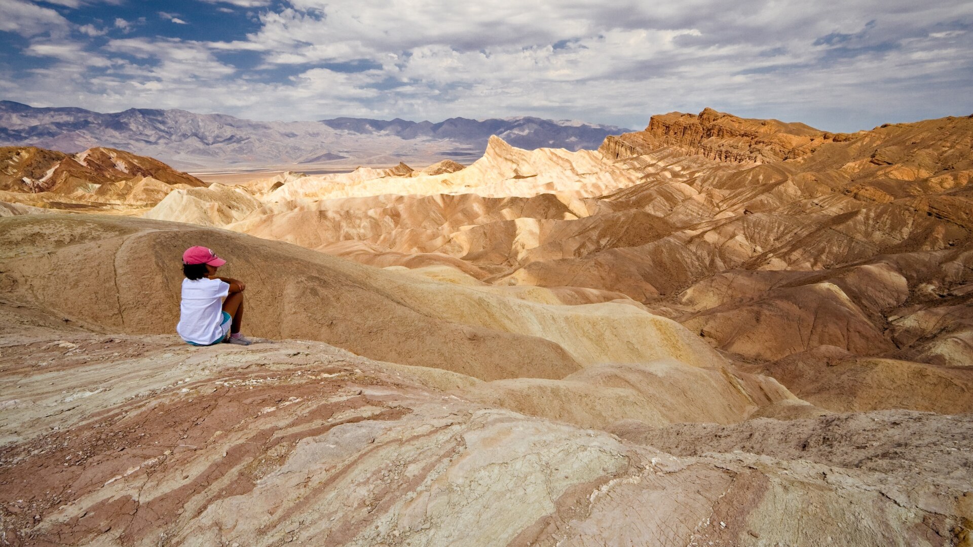
©Wikimedia / Luca Galuzzi ( Lucag )
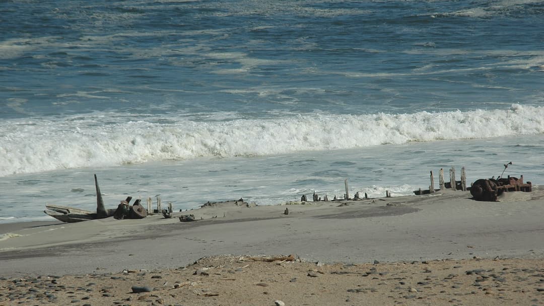
17. Skeleton Coast
The Skeleton Coast along the Atlantic shores of northern Namibia earned its grim name from thousands of whale bones and rusted shipwrecks lining the sand. Dense ocean fogs caused by the cold Benguela Current clash with arid desert heat, creating rough surf and navigation hazards that leave stranded sailors stranded.
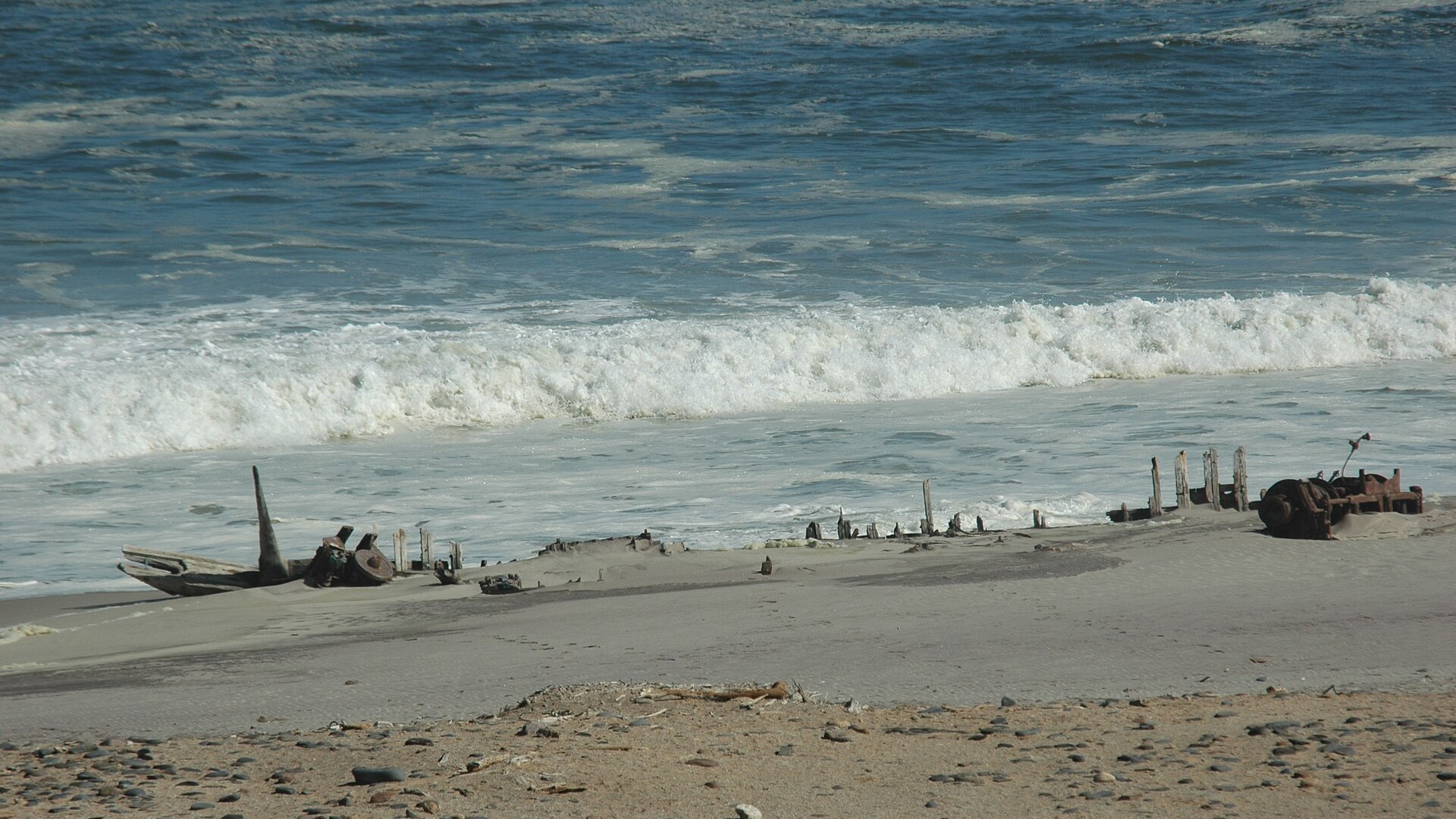
©Wikimedia / GIRAUD Patrick
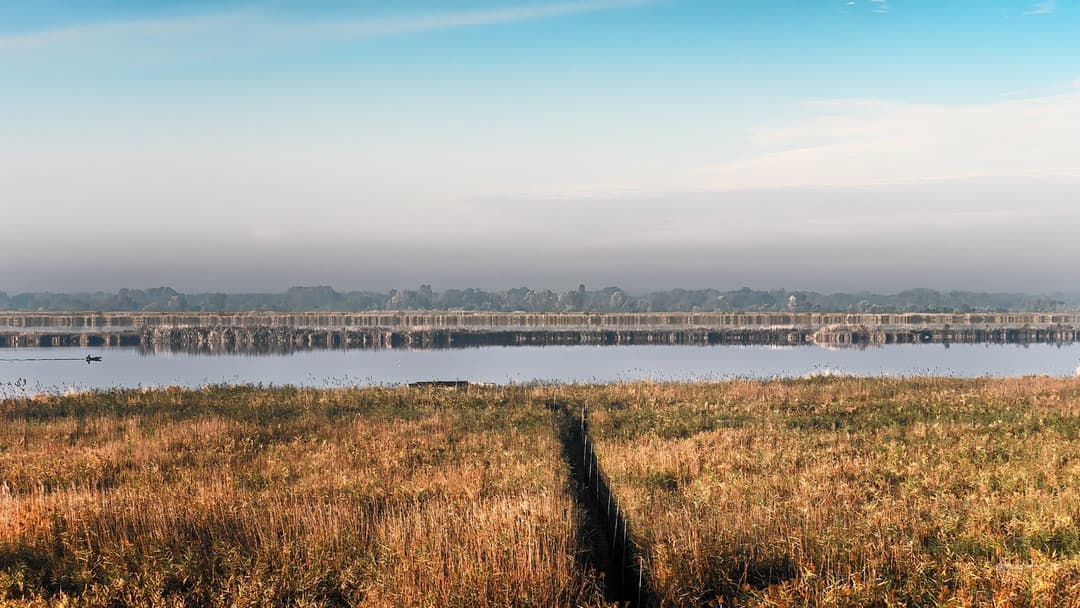
16. Lake Natron
Lake Natron in northern Tanzania is a mineral-rich salt lake fed by volcanic springs with sodium carbonate. Water temperatures reach up to 140 degrees Fahrenheit and pH levels climb past 10.5, creating a caustic brine that burns unprotected skin. Only specially adapted lesser flamingos nest safely along its mudflats.
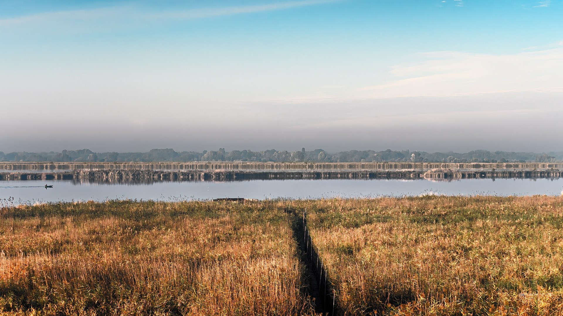
©Wikimedia / Mike Duchstein
Advertisement
Swipe or tap ▶ to resume the countdown.
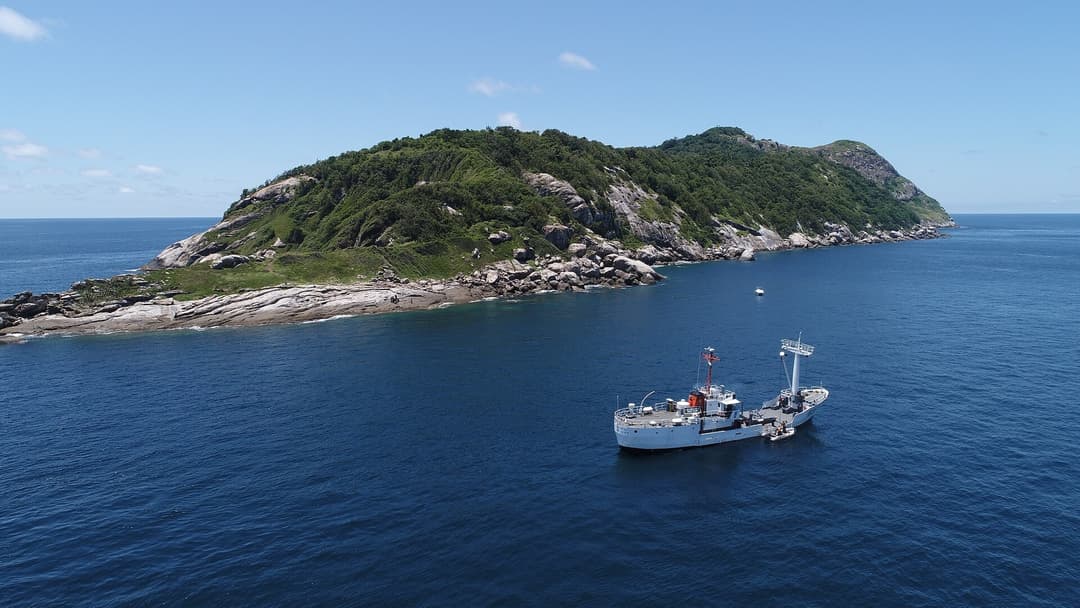
15. Ilha Da Queimada Grande
Ilha da Queimada Grande is an uninhabited island 21 miles off the coast of Sao Paulo, Brazil. The rocky outpost is home to thousands of critically endangered golden lancehead vipers whose venom dissolves tissue rapidly. The Brazilian Navy strictly forbids public access to safeguard human life and island ecology.
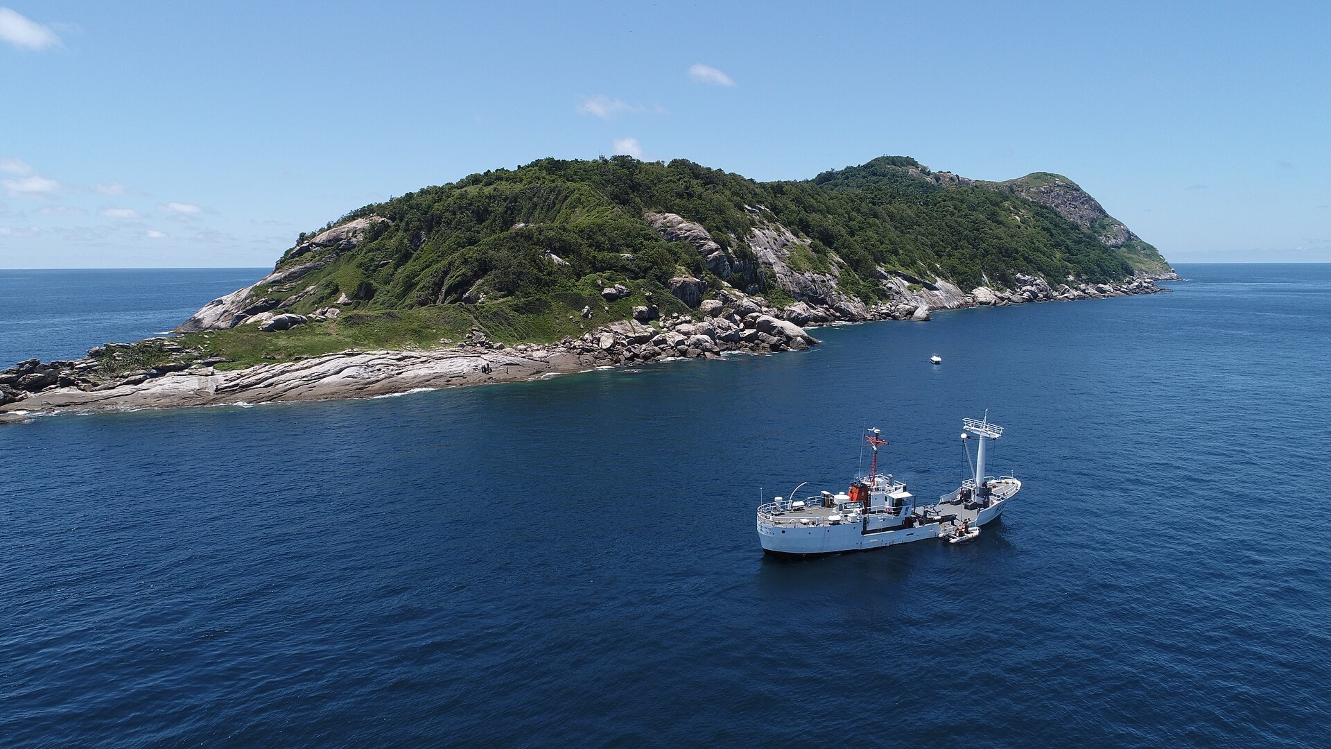
©Wikimedia / Marinha do Brasil
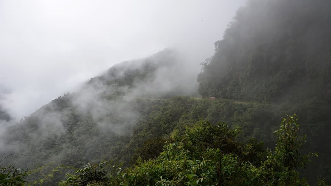
14. North Yungas Road
The North Yungas Road in Bolivia links La Paz to the Amazonian Yungas region, descending over 11,800 vertical feet. The unpaved track features blind switchbacks, continuous rockfalls, heavy fog, and unbarricaded vertical drops of 2,000 feet. Hundreds of fatal vehicle plunges occurred annually before bypasses opened.
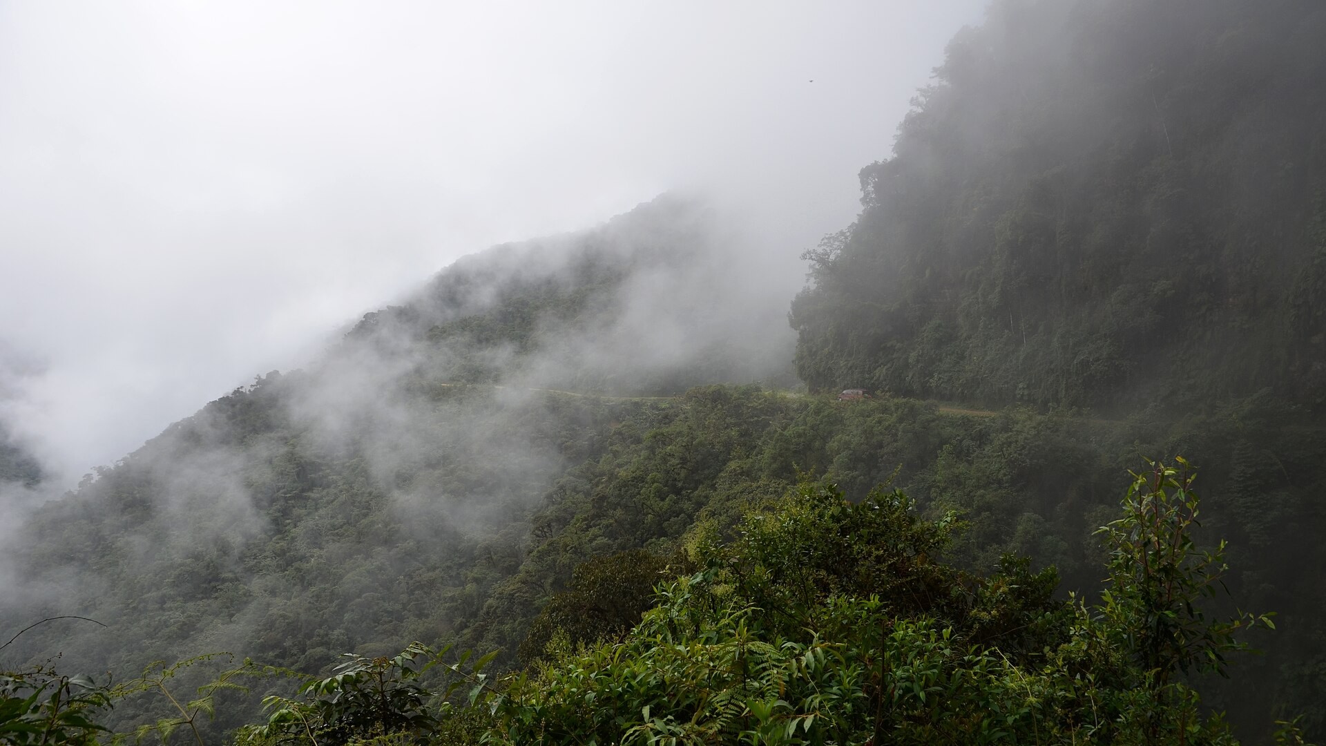
©Wikimedia / Pavel Špindler
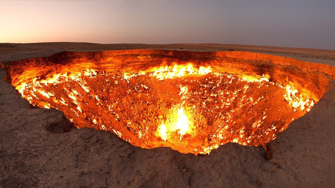
13. Darvaza Gas Crater
The Darvaza Gas Crater is a 230-foot-wide burning sinkhole in the Karakum Desert of Turkmenistan. Soviet drilling engineers ignited escaped methane gas here in 1971, expecting the fuel to burn out within weeks. More than five decades later, the roaring subterranean fire continues to burn with intense thermal radiation.
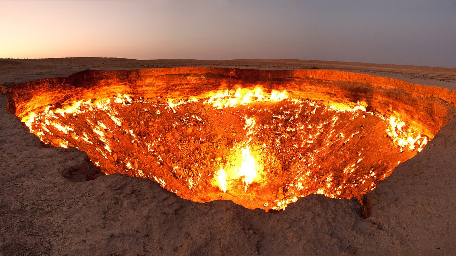
©Wikimedia / Darvaza gas crater
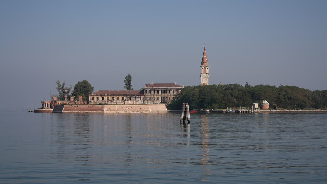
12. Poveglia Island
Poveglia Island sits between Venice and Lido in northern Italy. The Italian government converted the island into a strict quarantine station in 1793 to contain bubonic plague outbreaks, burying thousands in mass plague pits. Closed after serving as an asylum, the island remains derelict and legally barred to visitors.
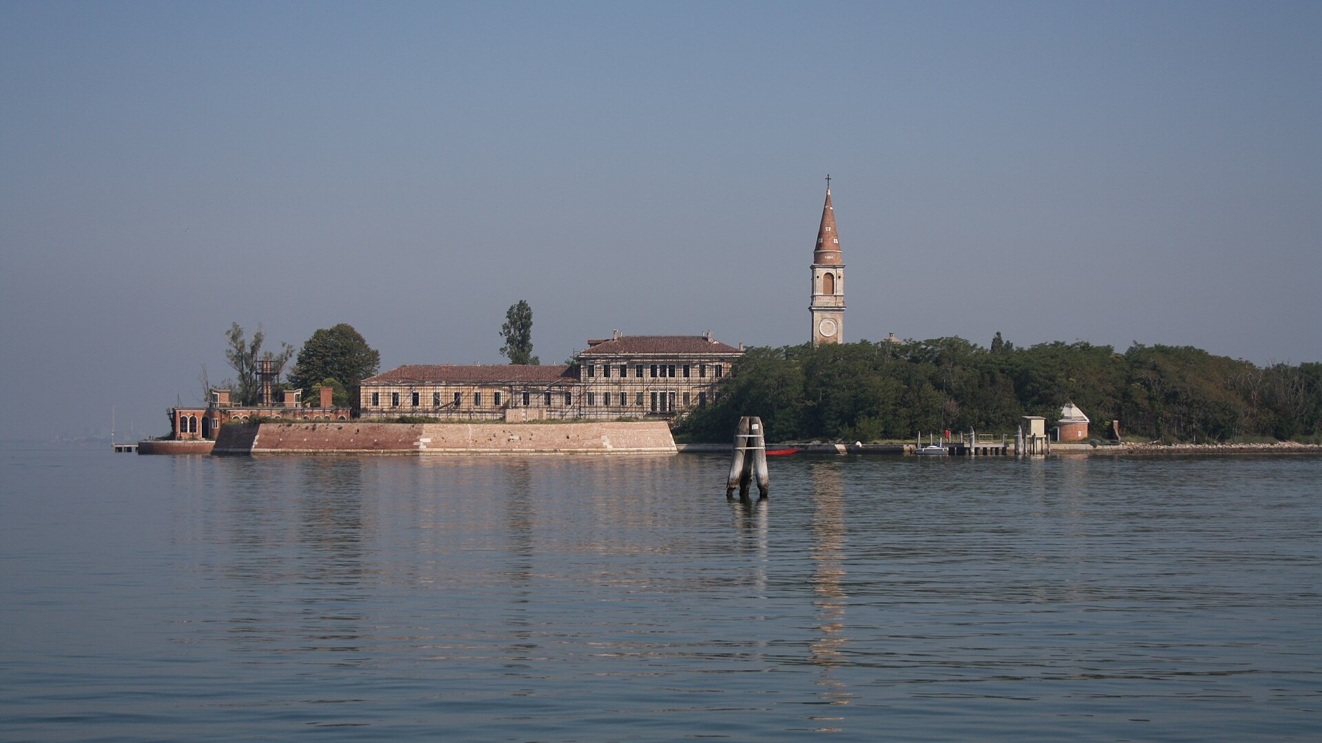
©Wikimedia / Marco Usan
Advertisement
Swipe or tap ▶ to resume the countdown.
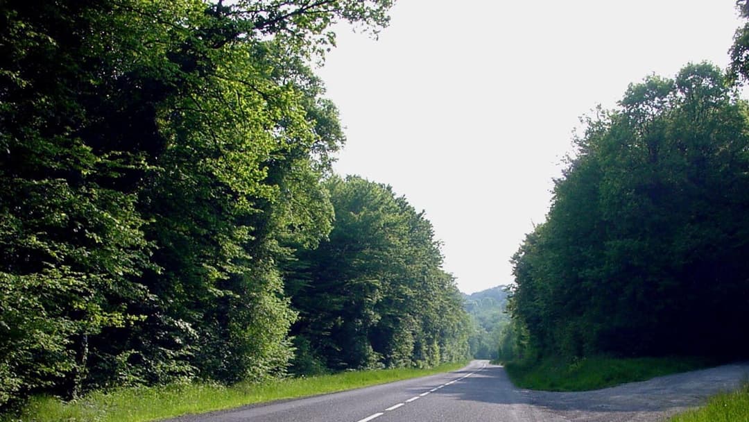
11. Zone Rouge
Zone Rouge is a 460-square-mile exclusion zone in northeastern France established after the Armistice of 1918. Devastated by the Battle of Verdun, the soil remains heavily poisoned with arsenic, unexploded shells, and chemical munitions. The French government enforces strict prohibitions on agriculture and settlement.
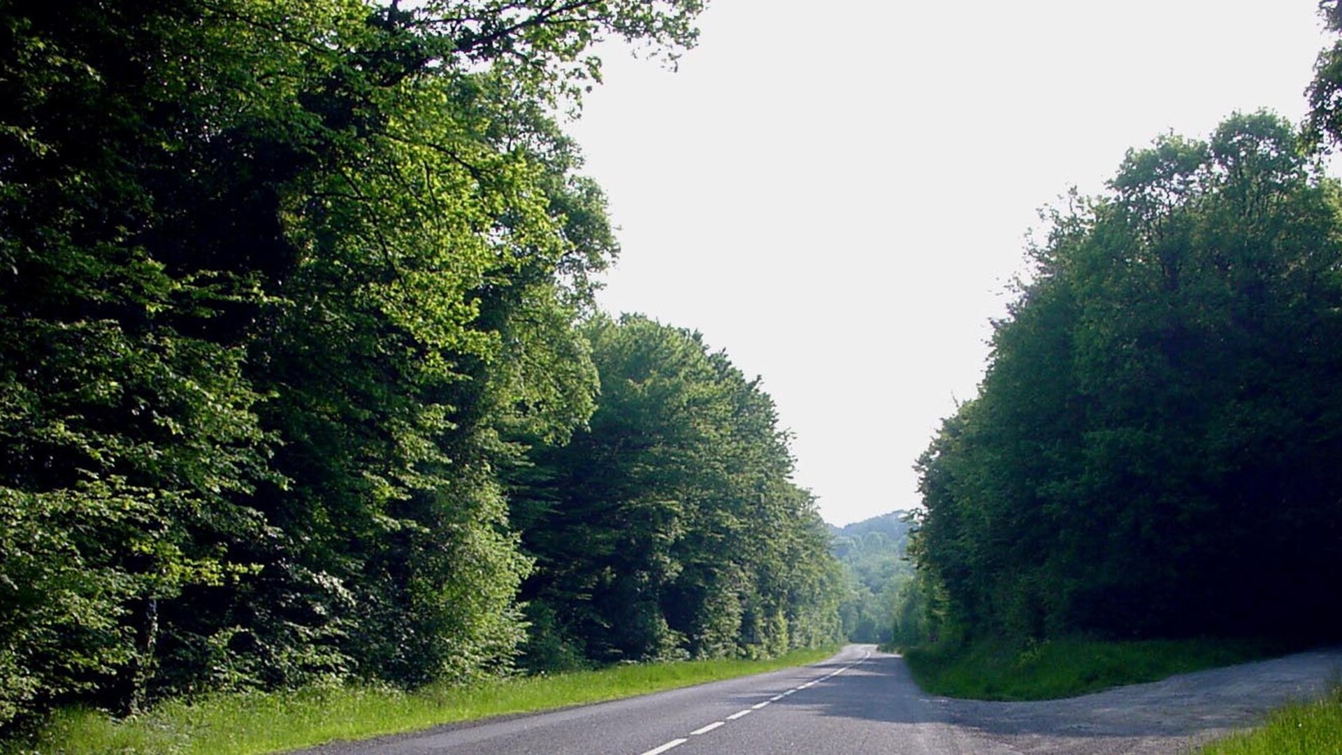
©Wikimedia / F. Lamiot
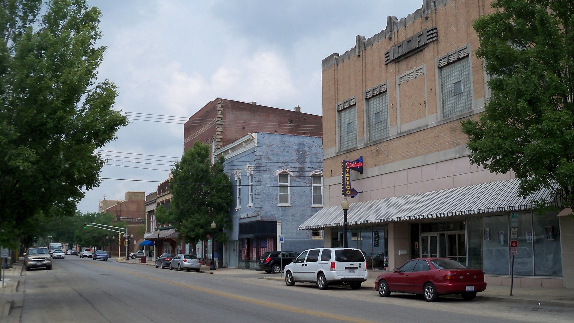
10. Centralia
Centralia in Columbia County, Pennsylvania, was largely abandoned following an underground anthracite coal mine fire that ignited in May 1962. Subterranean coal seams continue to burn hundreds of feet beneath the surface, opening unstable ground fissures and venting lethal plumes of sulfur dioxide and carbon monoxide.
©Wikimedia / Jon Platek
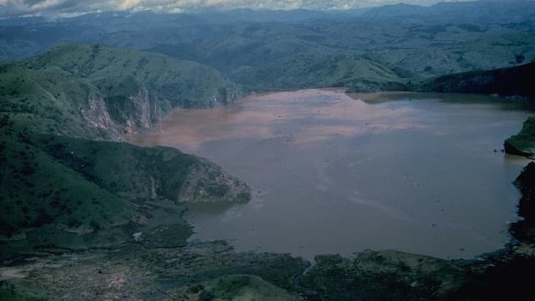
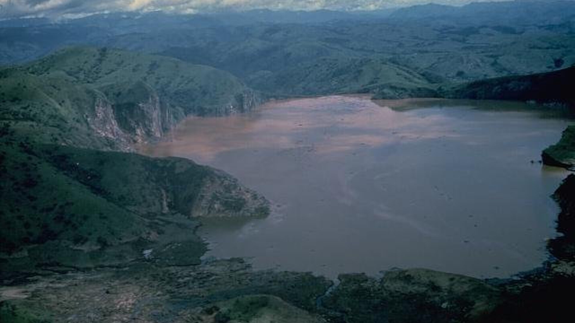
9. Lake Nyos
Lake Nyos is a volcanic crater lake in the Northwest Region of Cameroon. In August 1986, the lake underwent a limnic eruption, suddenly degassing 100,000 tons of concentrated carbon dioxide from deep waters. The odorless cloud displaced air across nearby valleys, suffocating over 1,700 villagers and livestock.
©Wikimedia / Lake Nyos
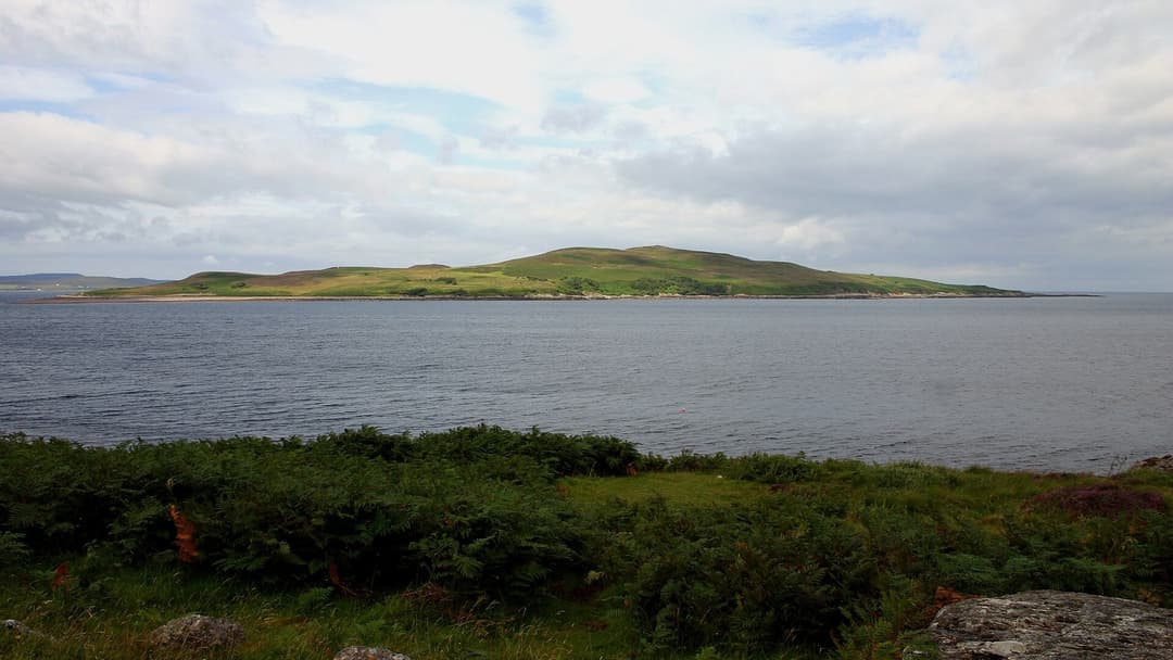
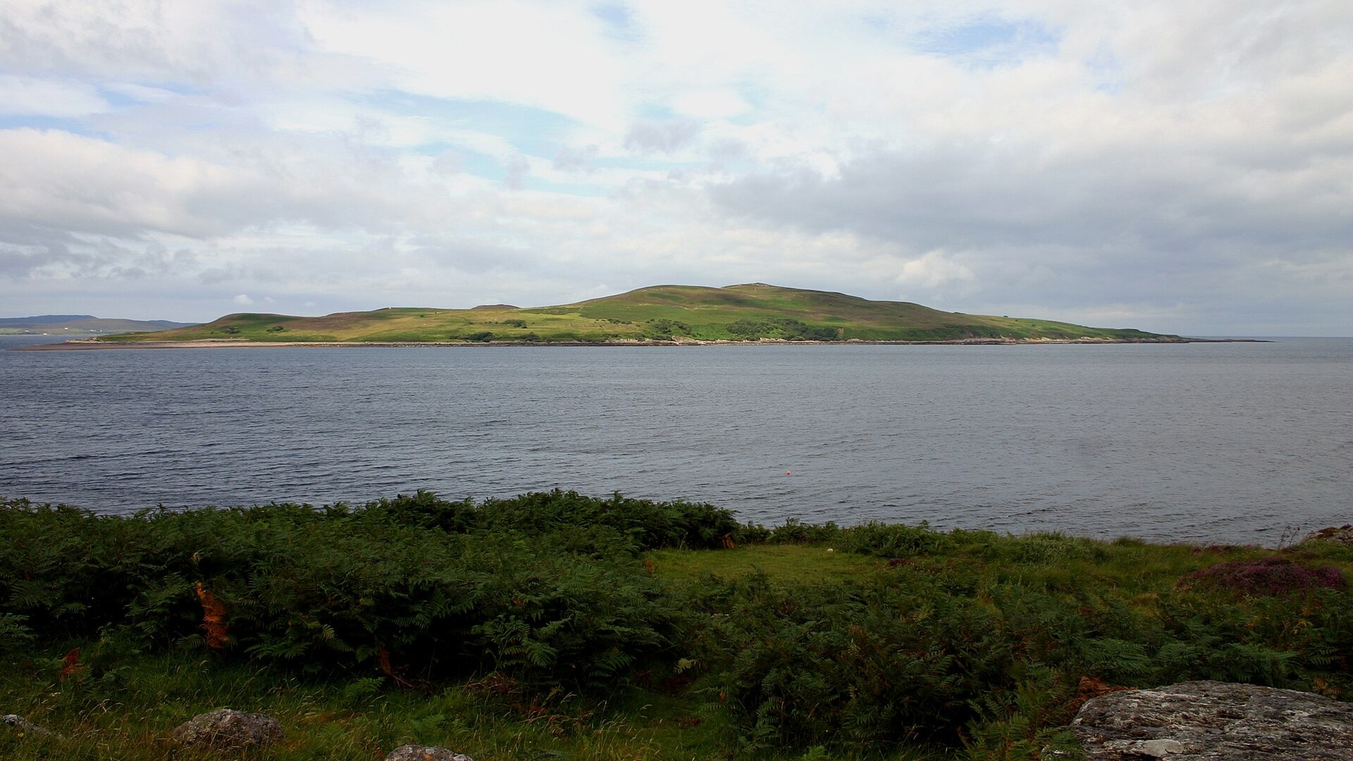
8. Gruinard Island
Gruinard Island is a small Scottish island in Gruinard Bay. During World War II, British military scientists used the island to test anthrax spore munitions, contaminating the topsoil with resilient Bacillus anthracis spores. The island was sealed under strict quarantine until a major chemical cleanup ended in 1990.
©Wikimedia / Kevin Walsh from Oxford, England
Advertisement
Swipe or tap ▶ to resume the countdown.
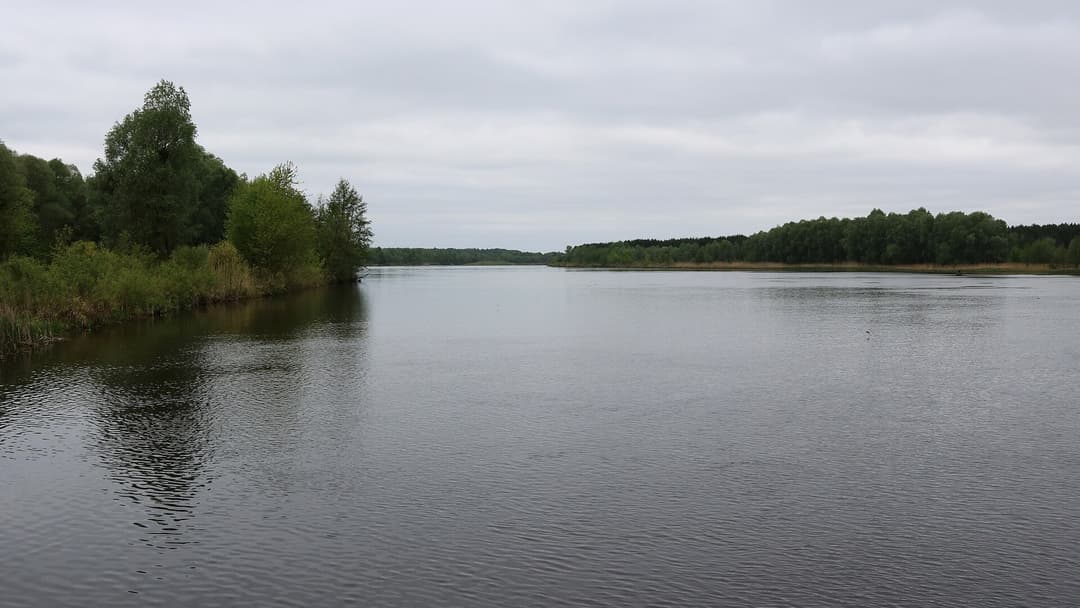
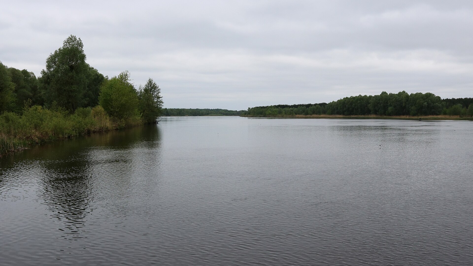
7. Chernobyl Exclusion Zone
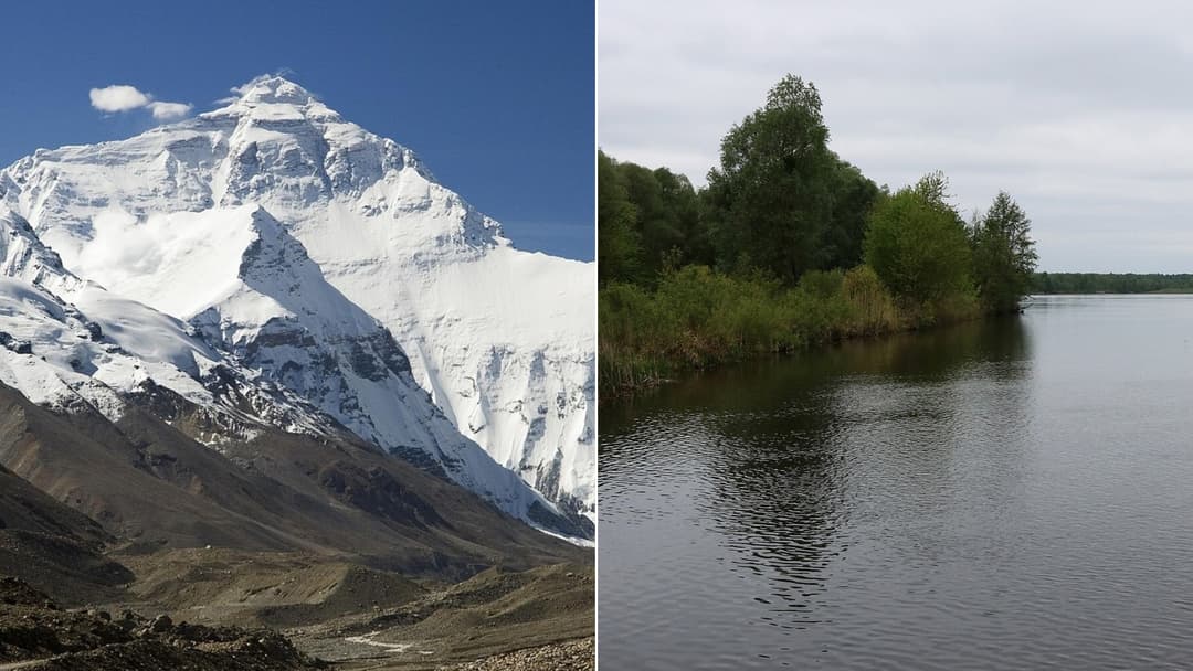
Following the catastrophic nuclear reactor explosion on April 26, 1986, Soviet authorities established a 30-kilometer exclusion zone around the Chernobyl plant. Radioactive isotopes like cesium-137 and strontium-90 contaminated the soil and forests. Armed checkpoints and radiation monitoring patrol the perimeter.
©Wikimedia / George Chernilevsky
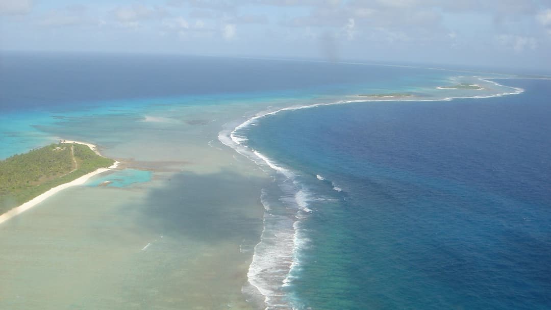
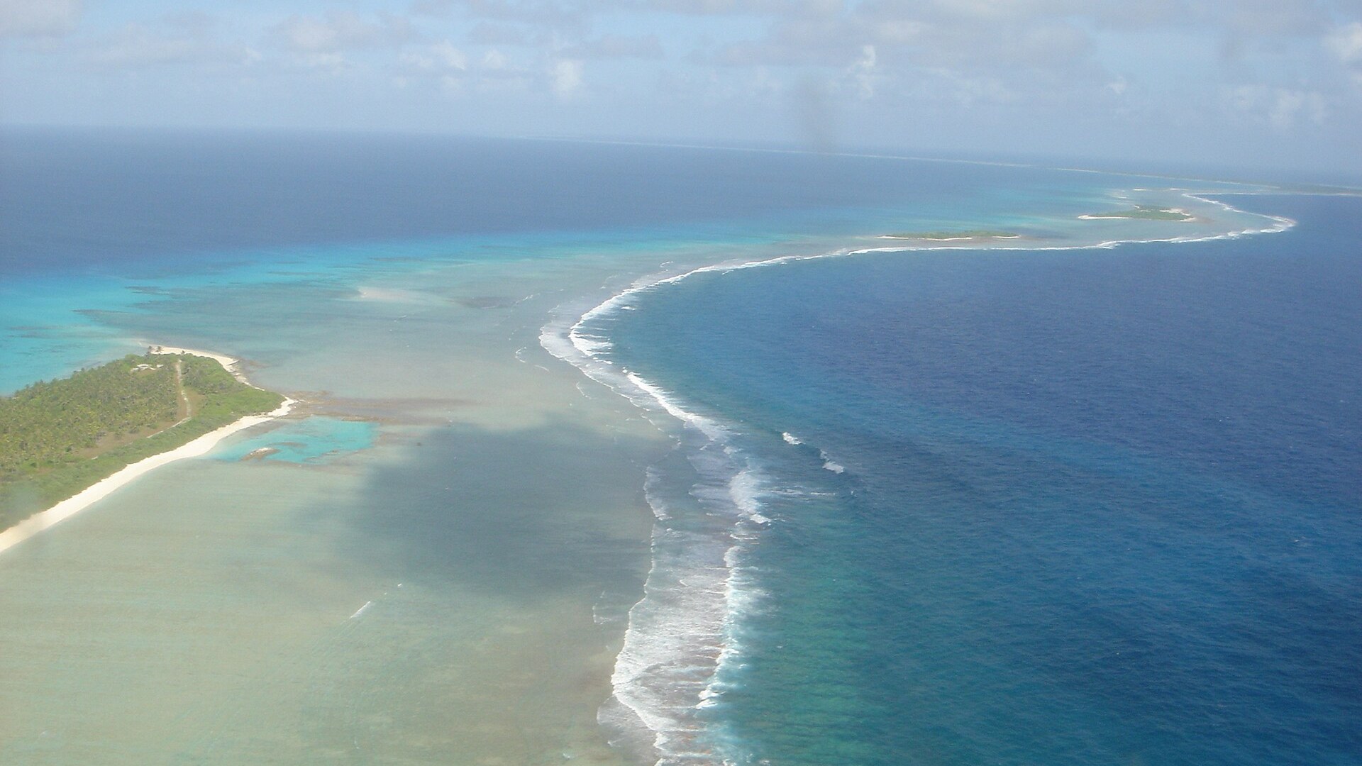
6. Bikini Atoll
Bikini Atoll in the Marshall Islands served as the test site for twenty-three United States nuclear weapon trials between 1946 and 1958, including the 15-megaton Castle Bravo blast. While radiation in the ocean has dissipated, radioactive cesium-137 in local coconuts and soil bars permanent human resettlement.
©Wikimedia / Ron Van Oers
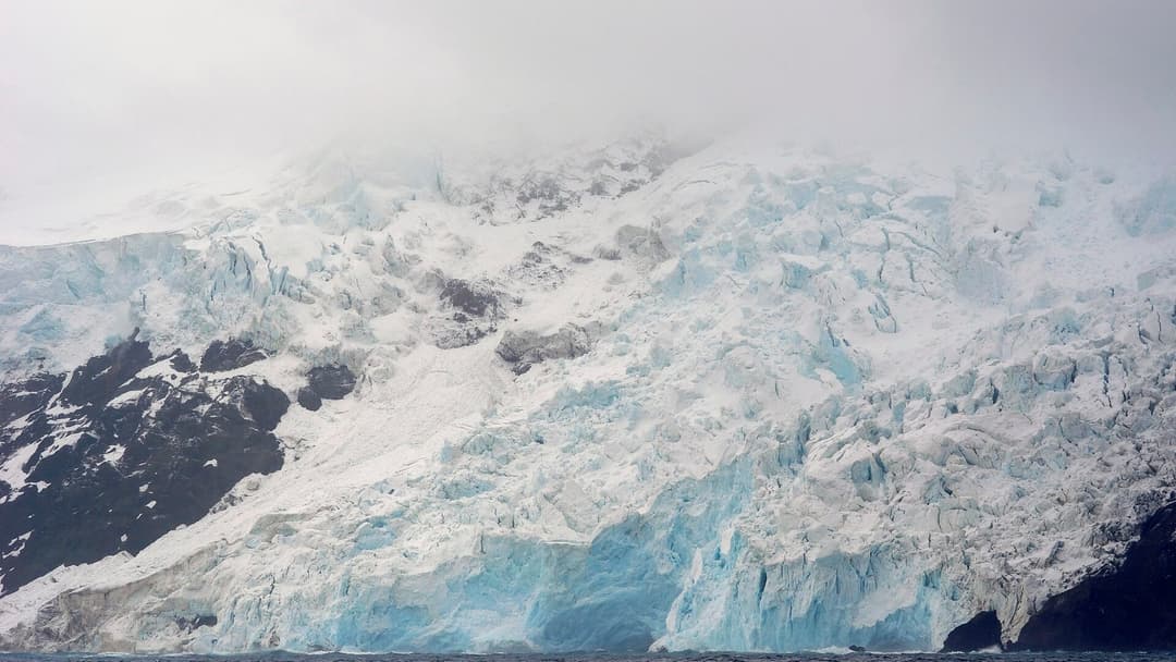
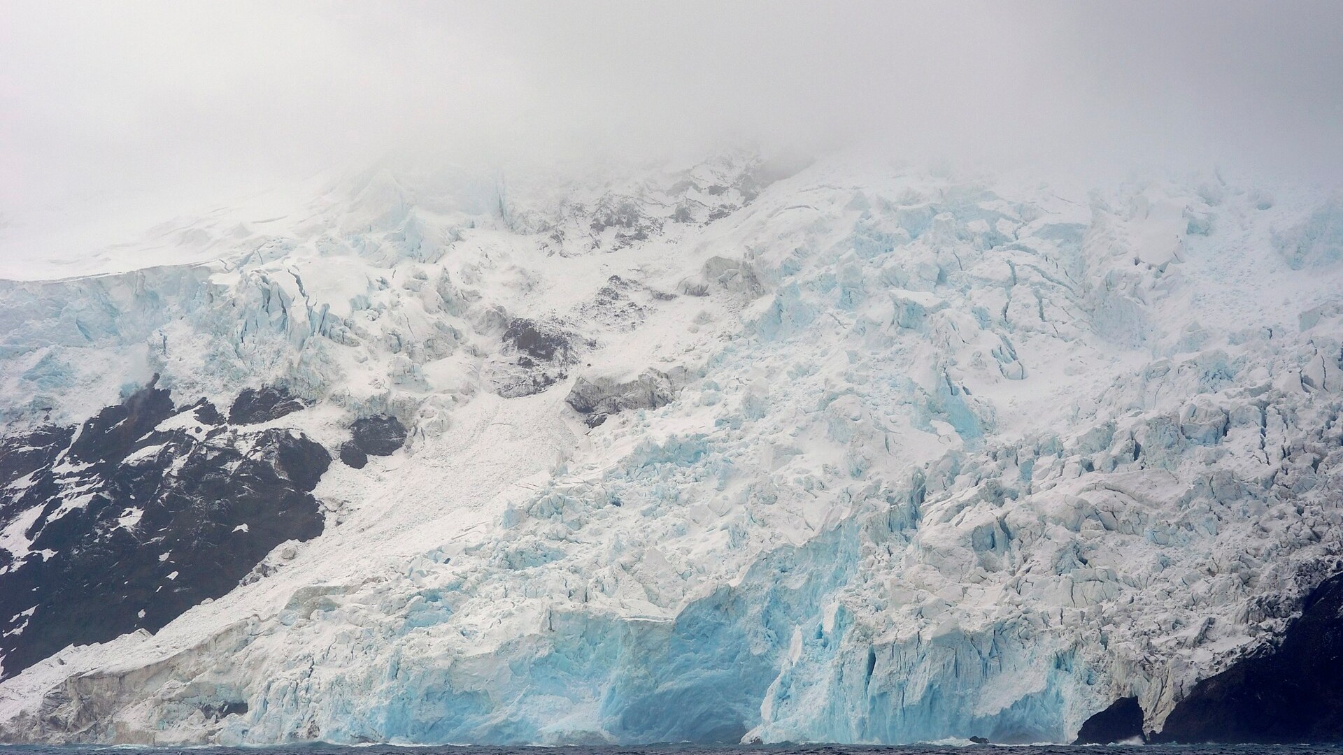
5. Bouvet Island
Bouvet Island is an uninhabited volcanic island in the South Atlantic Ocean administered by Norway. Positioned 1,600 miles from the nearest inhabited land on Tristan da Cunha, 93 percent of its landmass is entombed beneath glaciers. Dangerous pack ice, sea swells, and steep basalt cliffs prevent safe boat landings.
©Wikimedia / François Guerraz
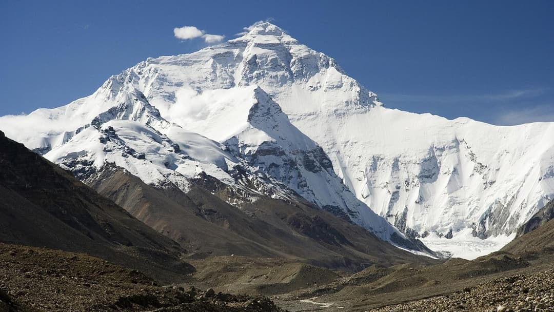
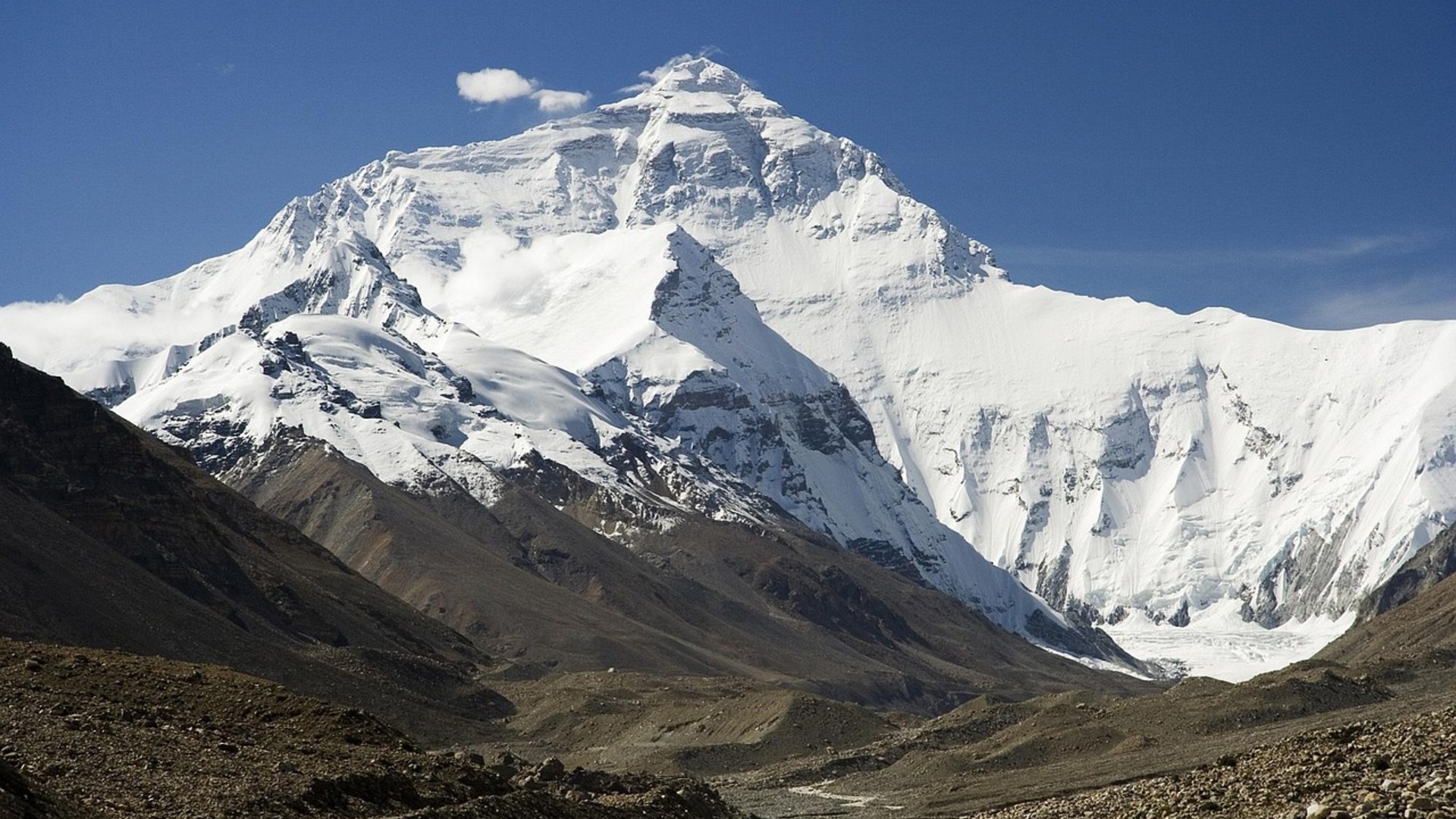
4. Mount Everest Death Zone
The upper reaches of Mount Everest above 8,000 meters are classified as the death zone. Atmospheric oxygen pressure drops to one third of sea-level density, causing rapid altitude sickness, pulmonary edema, and brain swelling. Human bodies cannot acclimatize at this altitude, and over 300 climbers have perished here.
©Pixabay / lutz6078
Advertisement
Swipe or tap ▶ to resume the countdown.
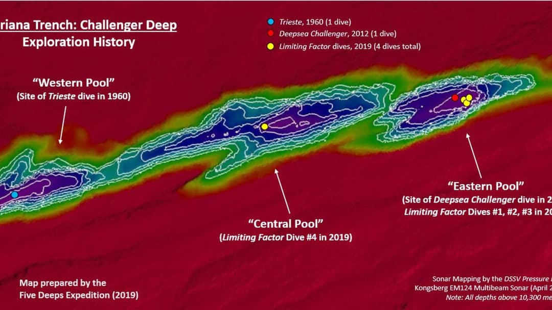
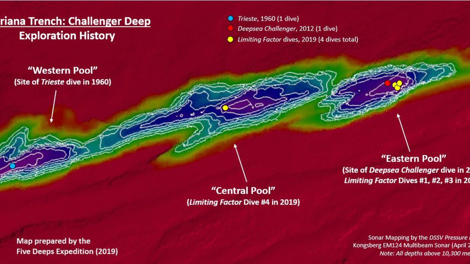
3. Challenger Deep
Challenger Deep lies at the southern end of the Mariana Trench, descending 35,876 feet beneath the Pacific Ocean surface. Hydrostatic water pressure exceeds 1,000 atmospheres, equivalent to eight tons per square inch. Perpetual darkness and near-freezing temperatures create an alien and unforgiving environment.
©Wikimedia / Vlvescovo
2. McMurdo Dry Valleys
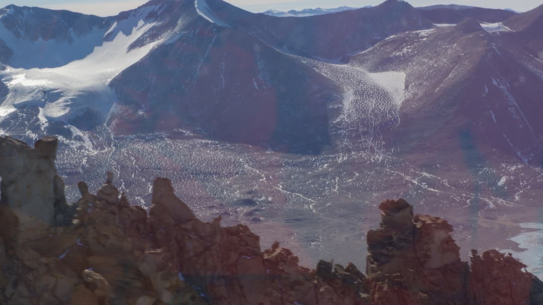
The McMurdo Dry Valleys form a 1,900-square-mile ice-free polar desert in Victoria Land, Antarctica. Fierce katabatic winds reaching 200 miles per hour heat up as they descend mountains, evaporating all snow and moisture. Temperatures fall to minus 50 degrees Celsius in an ecosystem with zero visible vegetation.
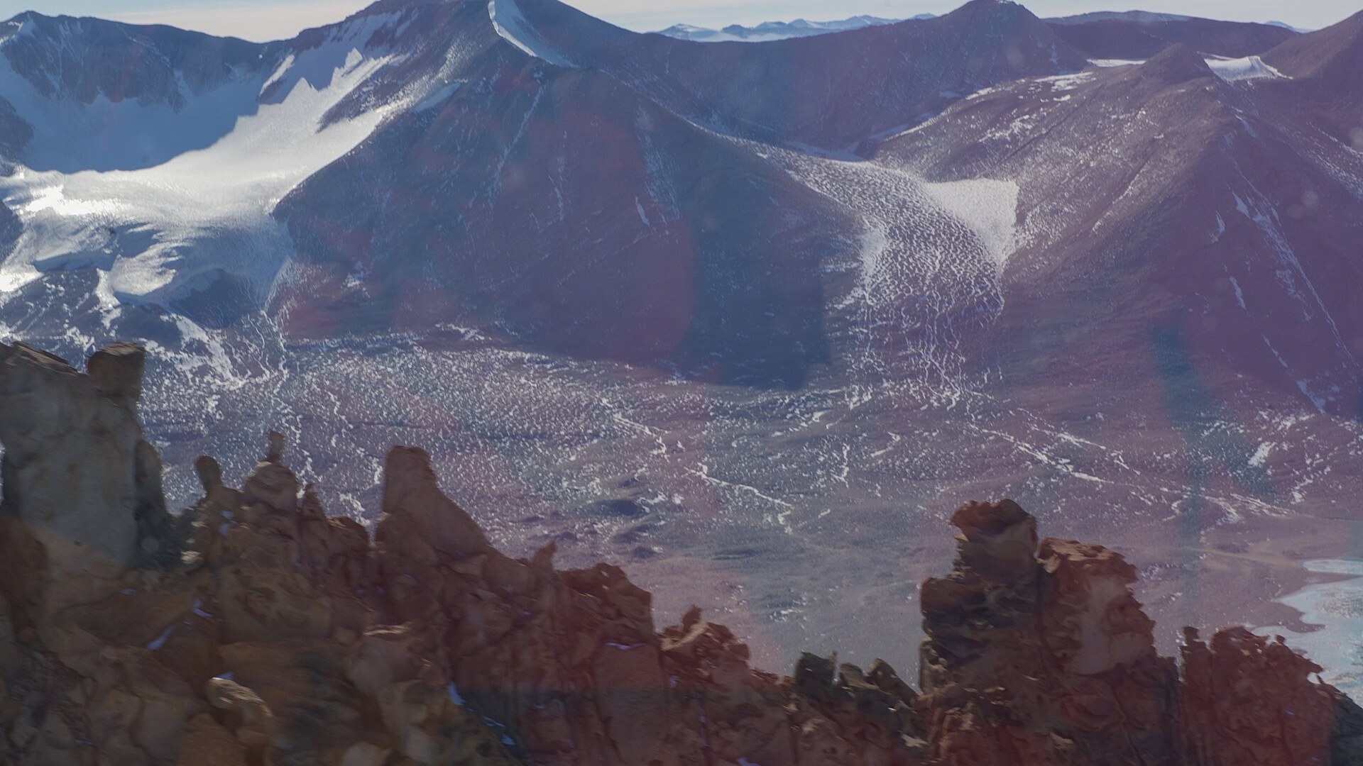
©Wikimedia / U.S. Department of State from United States
1. North Sentinel Island
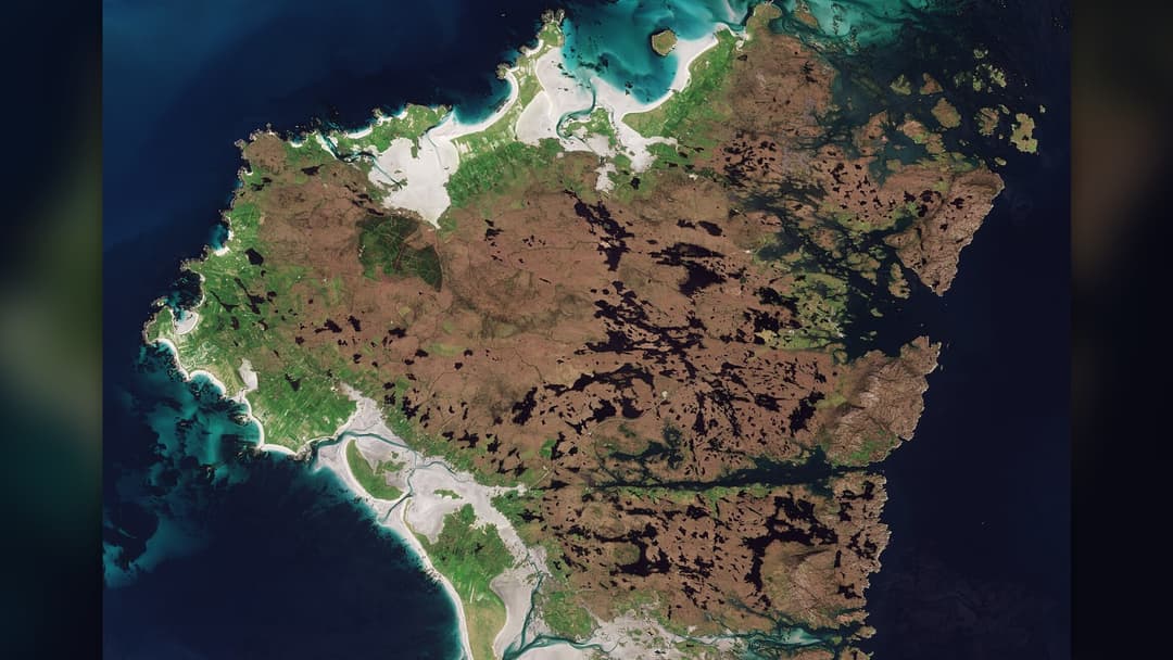
North Sentinel Island in the Bay of Bengal is home to the uncontacted Sentinelese tribe, who defend their island against all outside contact. The Indian government enforces a strict three-mile naval exclusion zone to prevent deadly modern disease transmission and protect the indigenous community from exploitation.
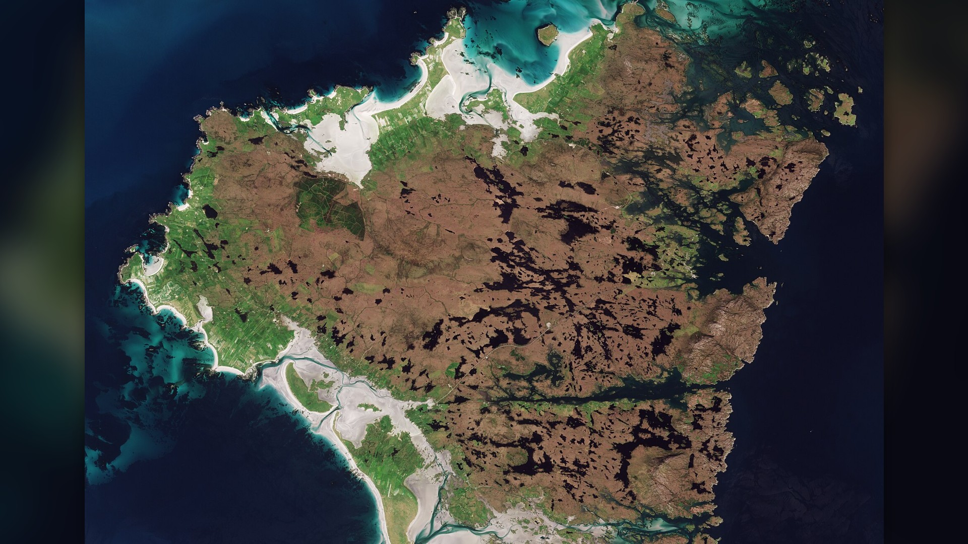
©Wikimedia / Copernicus Sentinel-2, ESA
Advertisement
You've reached the end of the story. Thanks for reading!

20 Plants and Trees Mentioned in the Bible
From ancient olive groves to the cedars of Lebanon, flora played a vital role in biblical narratives and daily life. Scripture records over a hundred species valued for food, timber, medicine and sacred rituals. This gallery presents twenty iconic plants and trees documented across the Old and New Testaments.
All 22 Entries in this Story
1. Mount Washington
Mount Washington in New Hampshire experiences some of the most erratic weather on Earth. The summit observatory recorded a surface wind gust of 231 miles per hour in April 1934, which held the global record for decades. Winter temperatures frequently drop below minus 40 degrees Fahrenheit with rapid weather shifts.

2. Atacama Desert
The Atacama Desert in northern Chile is the driest non-polar desert on Earth, wedged between the Andes Mountains and the Chilean Coastal Range. Some weather stations in the core plateau have never recorded a single drop of rain. Its hyper-arid soil composition is so barren that NASA uses it to test Mars rovers.

3. Oymyakon
Oymyakon is a rural locality in eastern Russia where winter conditions test the outer limits of human endurance. In 1933, the local weather station recorded an official low of minus 67.7 degrees Celsius. Ground permafrost remains permanently frozen hundreds of feet deep, requiring engine heating blocks day and night.

4. Dallol
Dallol sits 426 feet below sea level in the Danakil Depression of northern Ethiopia. The hydrothermal field features neon green acid pools, sulfur crusts, and venting chlorine gases. With average year-round temperatures exceeding 94 degrees Fahrenheit, Dallol holds the record for the hottest inhabited place on Earth.

5. Death Valley
Death Valley National Park in California encompasses Badwater Basin, the lowest point in North America at 282 feet below sea level. In July 1913, Furnace Creek recorded a world record air temperature of 134 degrees Fahrenheit. Summer ground surface heat often surpasses 200 degrees Fahrenheit, vaporizing moisture.

6. Skeleton Coast
The Skeleton Coast along the Atlantic shores of northern Namibia earned its grim name from thousands of whale bones and rusted shipwrecks lining the sand. Dense ocean fogs caused by the cold Benguela Current clash with arid desert heat, creating rough surf and navigation hazards that leave stranded sailors stranded.

7. Lake Natron
Lake Natron in northern Tanzania is a mineral-rich salt lake fed by volcanic springs with sodium carbonate. Water temperatures reach up to 140 degrees Fahrenheit and pH levels climb past 10.5, creating a caustic brine that burns unprotected skin. Only specially adapted lesser flamingos nest safely along its mudflats.

8. Ilha Da Queimada Grande
Ilha da Queimada Grande is an uninhabited island 21 miles off the coast of Sao Paulo, Brazil. The rocky outpost is home to thousands of critically endangered golden lancehead vipers whose venom dissolves tissue rapidly. The Brazilian Navy strictly forbids public access to safeguard human life and island ecology.

9. North Yungas Road
The North Yungas Road in Bolivia links La Paz to the Amazonian Yungas region, descending over 11,800 vertical feet. The unpaved track features blind switchbacks, continuous rockfalls, heavy fog, and unbarricaded vertical drops of 2,000 feet. Hundreds of fatal vehicle plunges occurred annually before bypasses opened.

10. Darvaza Gas Crater
The Darvaza Gas Crater is a 230-foot-wide burning sinkhole in the Karakum Desert of Turkmenistan. Soviet drilling engineers ignited escaped methane gas here in 1971, expecting the fuel to burn out within weeks. More than five decades later, the roaring subterranean fire continues to burn with intense thermal radiation.

11. Poveglia Island
Poveglia Island sits between Venice and Lido in northern Italy. The Italian government converted the island into a strict quarantine station in 1793 to contain bubonic plague outbreaks, burying thousands in mass plague pits. Closed after serving as an asylum, the island remains derelict and legally barred to visitors.

12. Zone Rouge
Zone Rouge is a 460-square-mile exclusion zone in northeastern France established after the Armistice of 1918. Devastated by the Battle of Verdun, the soil remains heavily poisoned with arsenic, unexploded shells, and chemical munitions. The French government enforces strict prohibitions on agriculture and settlement.

13. Centralia
Centralia in Columbia County, Pennsylvania, was largely abandoned following an underground anthracite coal mine fire that ignited in May 1962. Subterranean coal seams continue to burn hundreds of feet beneath the surface, opening unstable ground fissures and venting lethal plumes of sulfur dioxide and carbon monoxide.

14. Lake Nyos
Lake Nyos is a volcanic crater lake in the Northwest Region of Cameroon. In August 1986, the lake underwent a limnic eruption, suddenly degassing 100,000 tons of concentrated carbon dioxide from deep waters. The odorless cloud displaced air across nearby valleys, suffocating over 1,700 villagers and livestock.

15. Gruinard Island
Gruinard Island is a small Scottish island in Gruinard Bay. During World War II, British military scientists used the island to test anthrax spore munitions, contaminating the topsoil with resilient Bacillus anthracis spores. The island was sealed under strict quarantine until a major chemical cleanup ended in 1990.

16. Chernobyl Exclusion Zone
Following the catastrophic nuclear reactor explosion on April 26, 1986, Soviet authorities established a 30-kilometer exclusion zone around the Chernobyl plant. Radioactive isotopes like cesium-137 and strontium-90 contaminated the soil and forests. Armed checkpoints and radiation monitoring patrol the perimeter.

17. Bikini Atoll
Bikini Atoll in the Marshall Islands served as the test site for twenty-three United States nuclear weapon trials between 1946 and 1958, including the 15-megaton Castle Bravo blast. While radiation in the ocean has dissipated, radioactive cesium-137 in local coconuts and soil bars permanent human resettlement.

18. Bouvet Island
Bouvet Island is an uninhabited volcanic island in the South Atlantic Ocean administered by Norway. Positioned 1,600 miles from the nearest inhabited land on Tristan da Cunha, 93 percent of its landmass is entombed beneath glaciers. Dangerous pack ice, sea swells, and steep basalt cliffs prevent safe boat landings.

19. Mount Everest Death Zone
The upper reaches of Mount Everest above 8,000 meters are classified as the death zone. Atmospheric oxygen pressure drops to one third of sea-level density, causing rapid altitude sickness, pulmonary edema, and brain swelling. Human bodies cannot acclimatize at this altitude, and over 300 climbers have perished here.

20. Challenger Deep
Challenger Deep lies at the southern end of the Mariana Trench, descending 35,876 feet beneath the Pacific Ocean surface. Hydrostatic water pressure exceeds 1,000 atmospheres, equivalent to eight tons per square inch. Perpetual darkness and near-freezing temperatures create an alien and unforgiving environment.

21. McMurdo Dry Valleys
The McMurdo Dry Valleys form a 1,900-square-mile ice-free polar desert in Victoria Land, Antarctica. Fierce katabatic winds reaching 200 miles per hour heat up as they descend mountains, evaporating all snow and moisture. Temperatures fall to minus 50 degrees Celsius in an ecosystem with zero visible vegetation.

22. North Sentinel Island
North Sentinel Island in the Bay of Bengal is home to the uncontacted Sentinelese tribe, who defend their island against all outside contact. The Indian government enforces a strict three-mile naval exclusion zone to prevent deadly modern disease transmission and protect the indigenous community from exploitation.