Slideshow · Viral
15 Facts About the Strait of Hormuz, the World's Key Oil Route
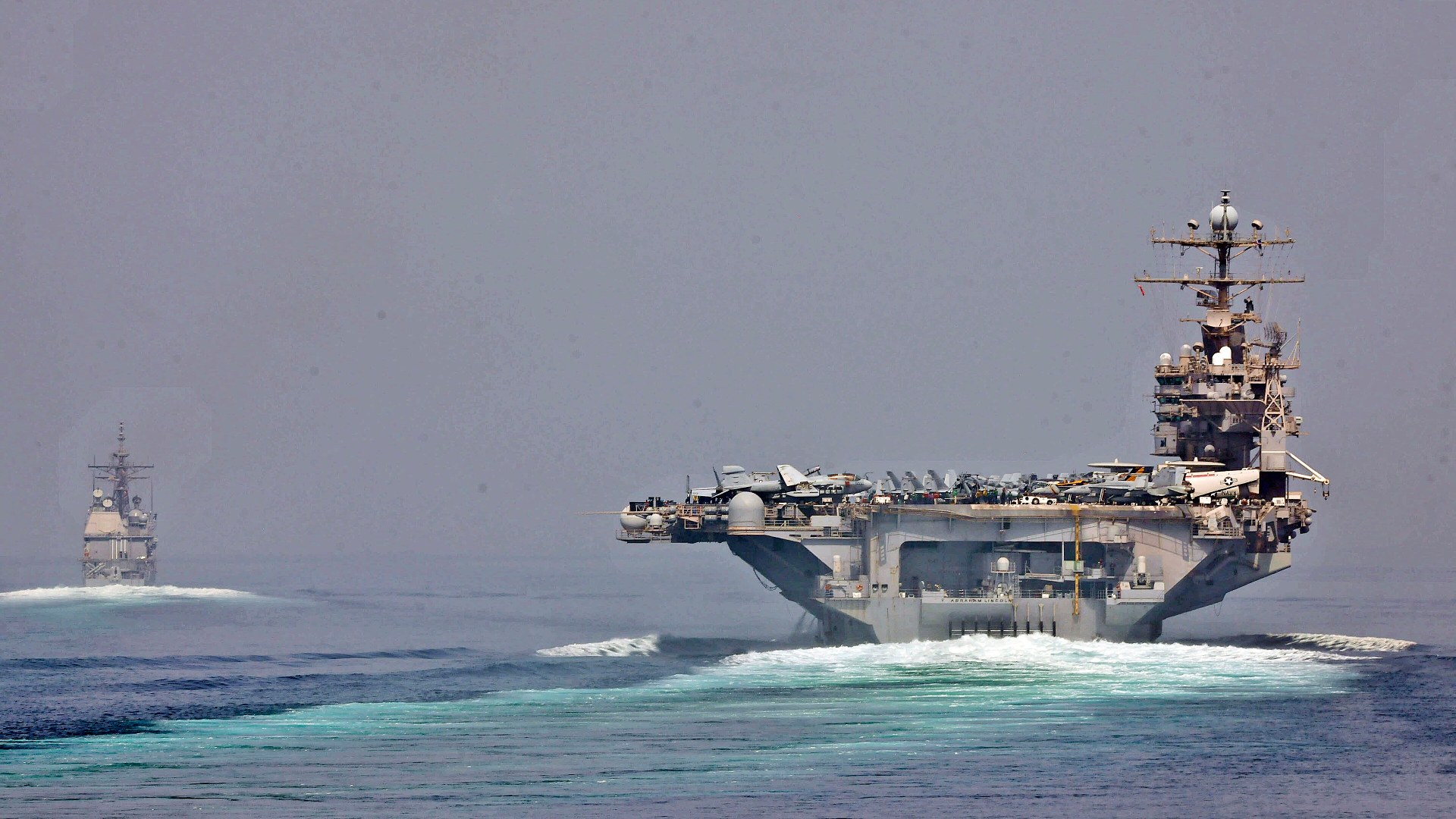
Stretching just 21 miles across at its narrowest point, the Strait of Hormuz carries one-fifth of the world's petroleum and liquefied natural gas every day.
By Most Viral Today
30 Oct 2026

Inside The 21-Mile Chokepoint That Powers The Global Economy 
15. Named After The Medieval Kingdom Of Hormuz 
14. Qeshm Island Stretches 84 Miles Along The Channel 
13. Oman Controls The Southern Shore From An Exclave - AdvertisementSwipe or tap ▶ to continue countdown

12. Deep Southern Waters Fit The Largest Supertankers 
11. Crowded Waters Caused A 2009 Submarine Collision 
10. Bandar Abbas Anchors The Northern Coastline 
9. Three Strategic Islands Guard The Western Approach - AdvertisementSwipe or tap ▶ to continue countdown

8. Site Of The Largest Modern Surface Naval Battle 
7. The 1980s Tanker War Reflagged Kuwaiti Oil Fleets 
6. Transit Passage Protects International Navigation 
5. Only Two Overland Pipelines Can Bypass The Strait - AdvertisementSwipe or tap ▶ to continue countdown

4. Fujairah Port Sits Just Outside The Chokepoint 
3. Over 80% Of Its Crude Oil Heads To Asian Markets 
2. One-Fifth Of All Global LNG Passes Through Here 
1. Two-Mile Shipping Lanes Carry 20% Of World Oil - Advertisement🔥 UP NEXT IN THIS SERIES◫ 21 Slides

20 Iconic Historical Photos and the Archive Clues Behind Them
Contact sheets, cracked glass plates, and NASA mission logs preserve the hidden steps behind 20 famous photographs. Drawing on records from the Library of Congress, the National Archives, NASA, and the Smithsonian, this countdown traces how cropping, camera setups, and double exposures shaped each frame.
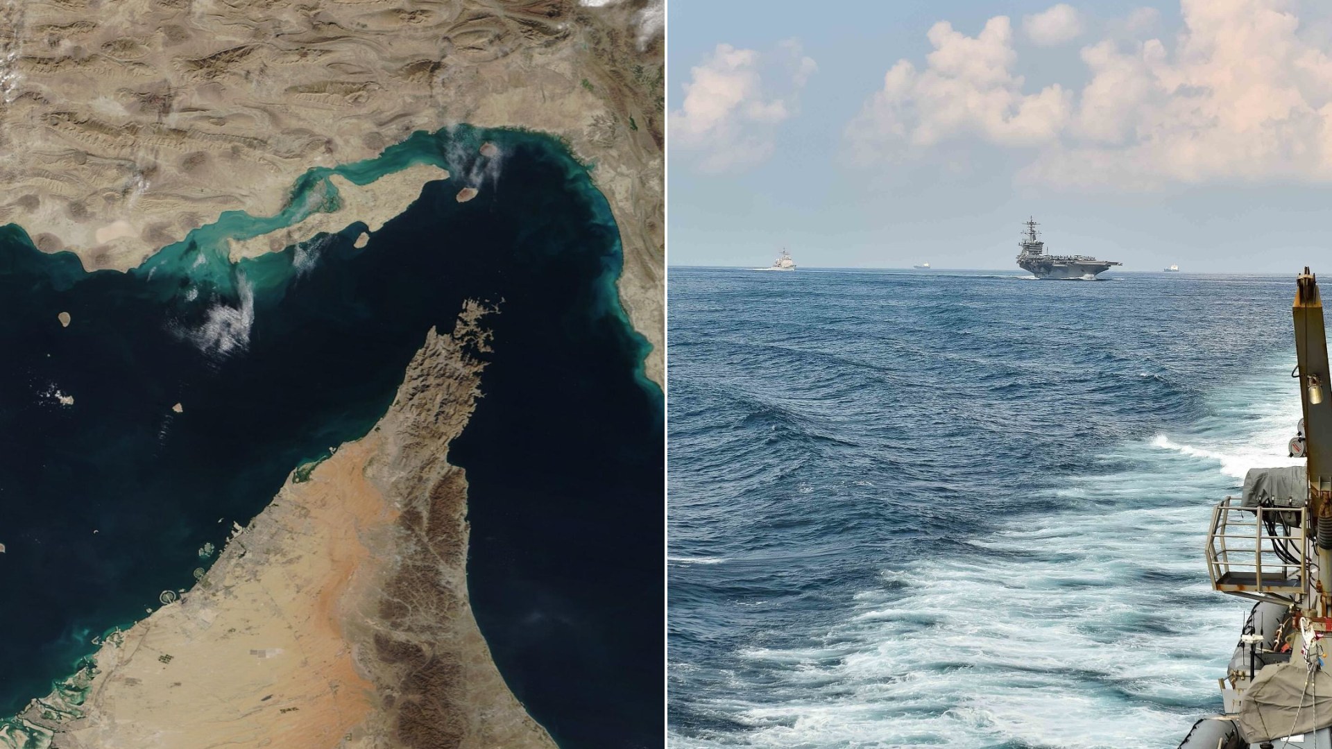
Connecting the Persian Gulf to the open ocean, the Strait of Hormuz is the world's most important energy corridor. Every day, supertankers carry 21 million barrels of oil through its waters.
Swipe or tap ▶ to begin the countdown
©Wikimedia / NASA GSFC MODIS - U.S. Navy
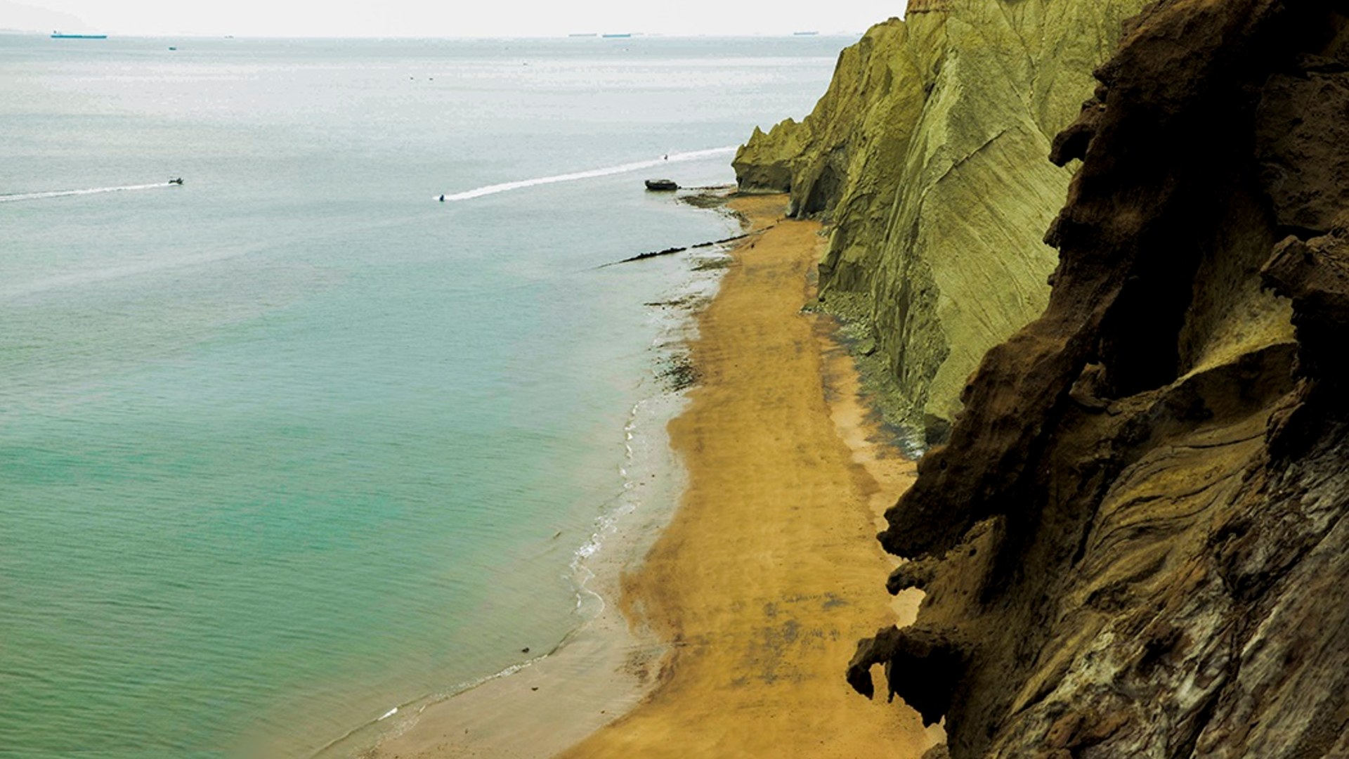
15. Named After The Medieval Kingdom Of Hormuz
The waterway takes its name from Hormuz Island, an iron-rich salt dome off Iran's southern coast known for its crimson ochre cliffs. From the 11th to the 17th centuries, the Kingdom of Ormus controlled merchant ships moving silk, horses, and pearls between India and Persia.
©Wikimedia / Alireza Bahari
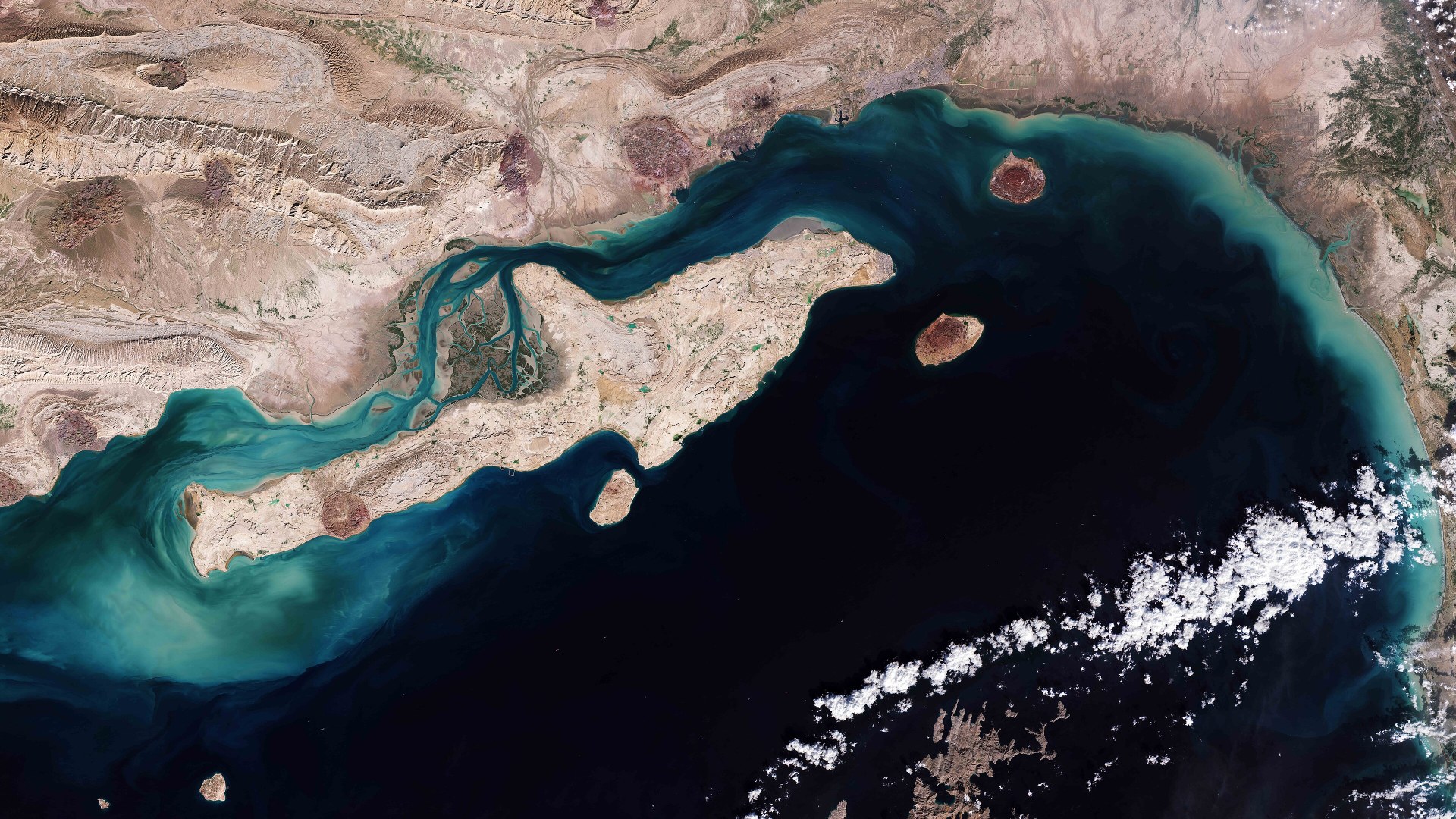
14. Qeshm Island Stretches 84 Miles Along The Channel
Shaped like a dolphin swimming toward Oman, Iran's Qeshm Island covers 576 square miles right inside the northern curve of the strait. Its UNESCO Global Geopark features salt caves, eroded sandstone canyons, and coastal Hara forests fed by warm tidal currents.
©Wikimedia / European Space Agency
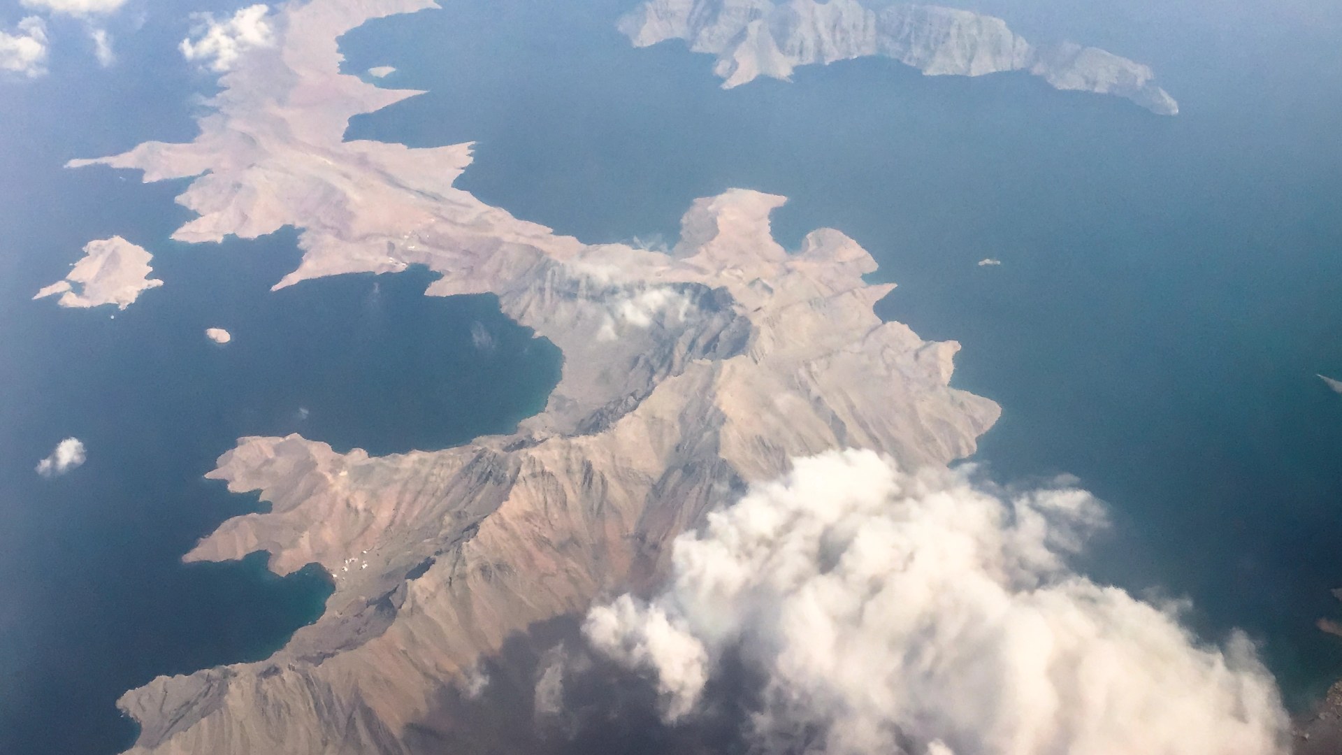
13. Oman Controls The Southern Shore From An Exclave
Many maps make it look like the United Arab Emirates borders the southern edge of the strait, but the tip actually belongs to Oman's Musandam Governorate. Nicknamed the Norway of Arabia, its flooded limestone valleys rise 6,000 feet directly above passing oil tankers.
©Wikimedia / Rita Willaert
Advertisement
Swipe or tap ▶ to resume the countdown.
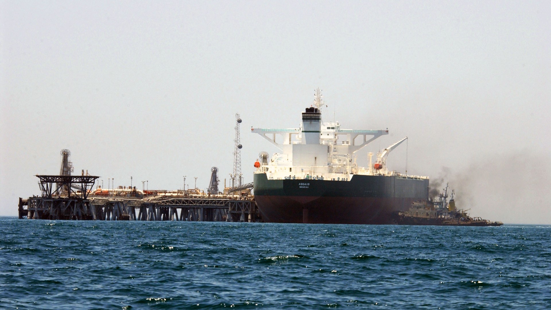
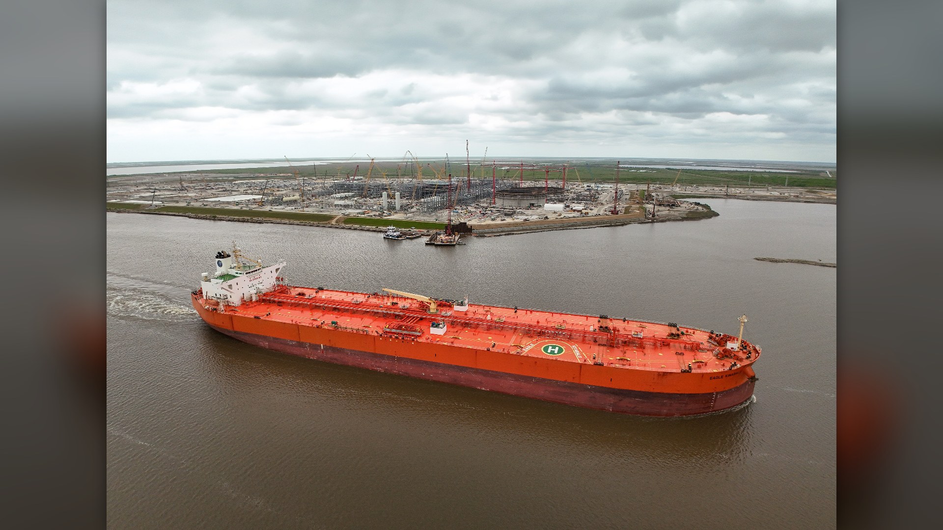
12. Deep Southern Waters Fit The Largest Supertankers
Very Large Crude Carriers hold up to 2 million barrels of oil and draw nearly 75 feet of water beneath their hulls. Because the northern waters near Iran are relatively shallow, deep-draft supertankers must hug the deeper trench along Oman's Musandam coast.
©Wikimedia / U.S. Navy
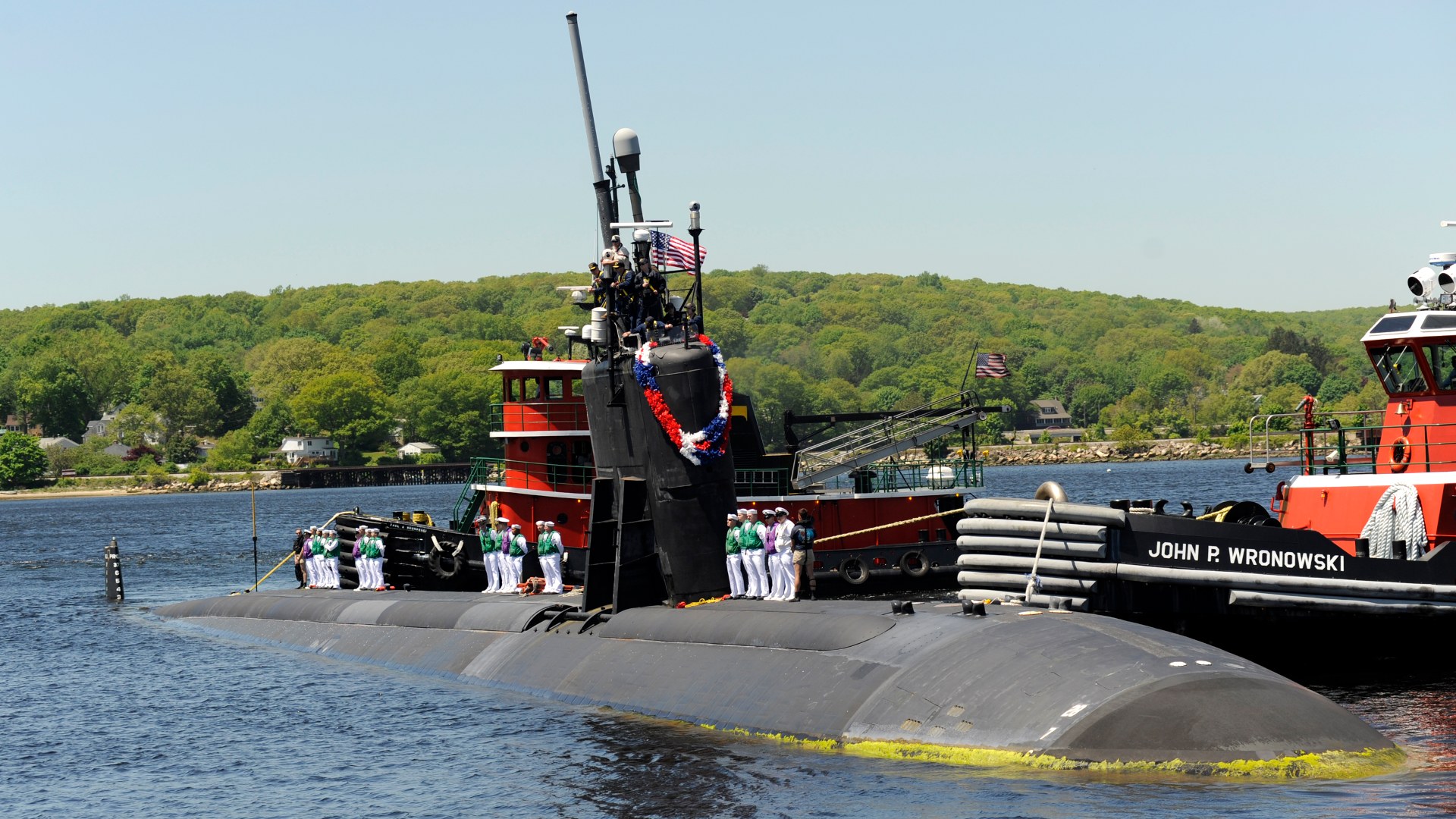
11. Crowded Waters Caused A 2009 Submarine Collision
With dozens of merchant vessels, warships, and fishing dhows funneling through a tight corridor, underwater acoustics are notoriously noisy. On March 20, 2009, the attack submarine USS Hartford collided with USS New Orleans in the strait, tearing the sub's sail and spilling fuel.
©Wikimedia / U.S. Navy - John Narewski
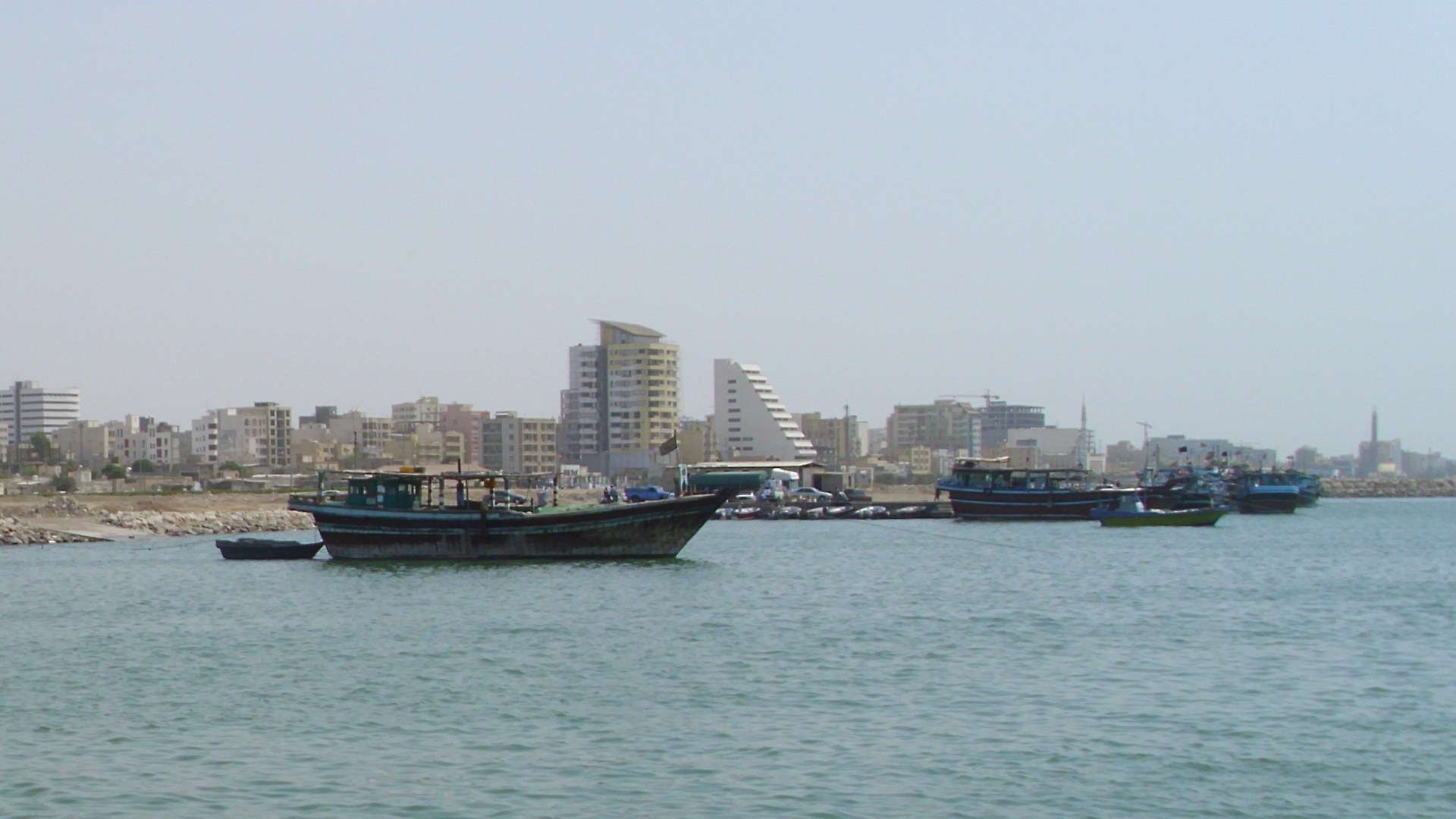
10. Bandar Abbas Anchors The Northern Coastline
Founded by Shah Abbas I in 1622 after expelling Portuguese forces from Hormuz Island, Bandar Abbas handles around 85 percent of Iran's maritime container trade. Its Shahid Rajaee port complex and adjacent naval docks overlook the main shipping approach into the Gulf.
©Wikimedia / Petr Adam Dohnalek
9. Three Strategic Islands Guard The Western Approach
Every ship entering or leaving the Strait of Hormuz passes near Abu Musa and the Greater and Lesser Tunb islands. Administered by Iran since 1971 and also claimed by the United Arab Emirates, these small islands command direct radar and visual lines over both shipping lanes.
©Wikimedia / U.S. Marine Corps - Gary Jayne III
Advertisement
Swipe or tap ▶ to resume the countdown.
8. Site Of The Largest Modern Surface Naval Battle
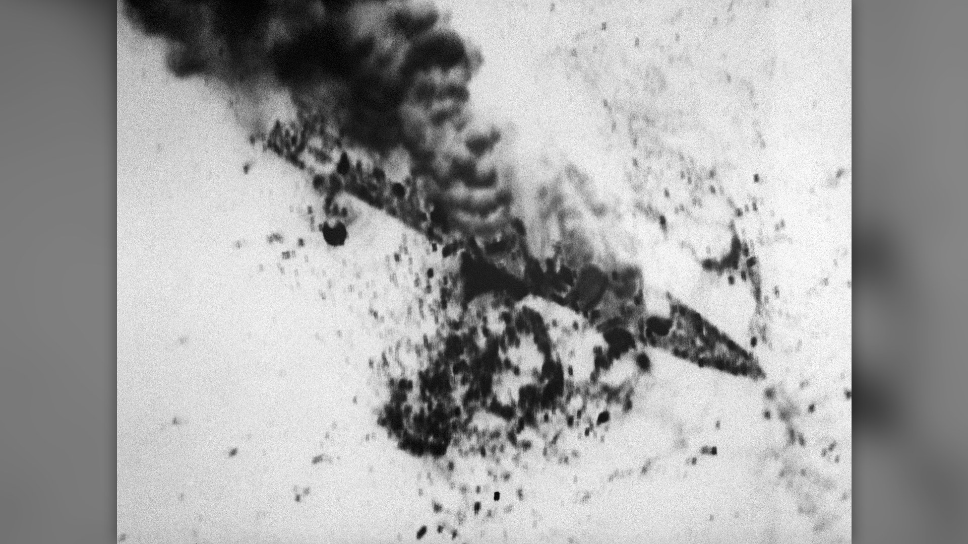
On April 18, 1988, the U.S. Navy launched Operation Praying Mantis in and around the Strait of Hormuz. The one-day battle became the largest American surface naval engagement since World War II and marked the first time U.S. warships exchanged surface-to-surface missile fire.
©Wikimedia / U.S. Navy
7. The 1980s Tanker War Reflagged Kuwaiti Oil Fleets
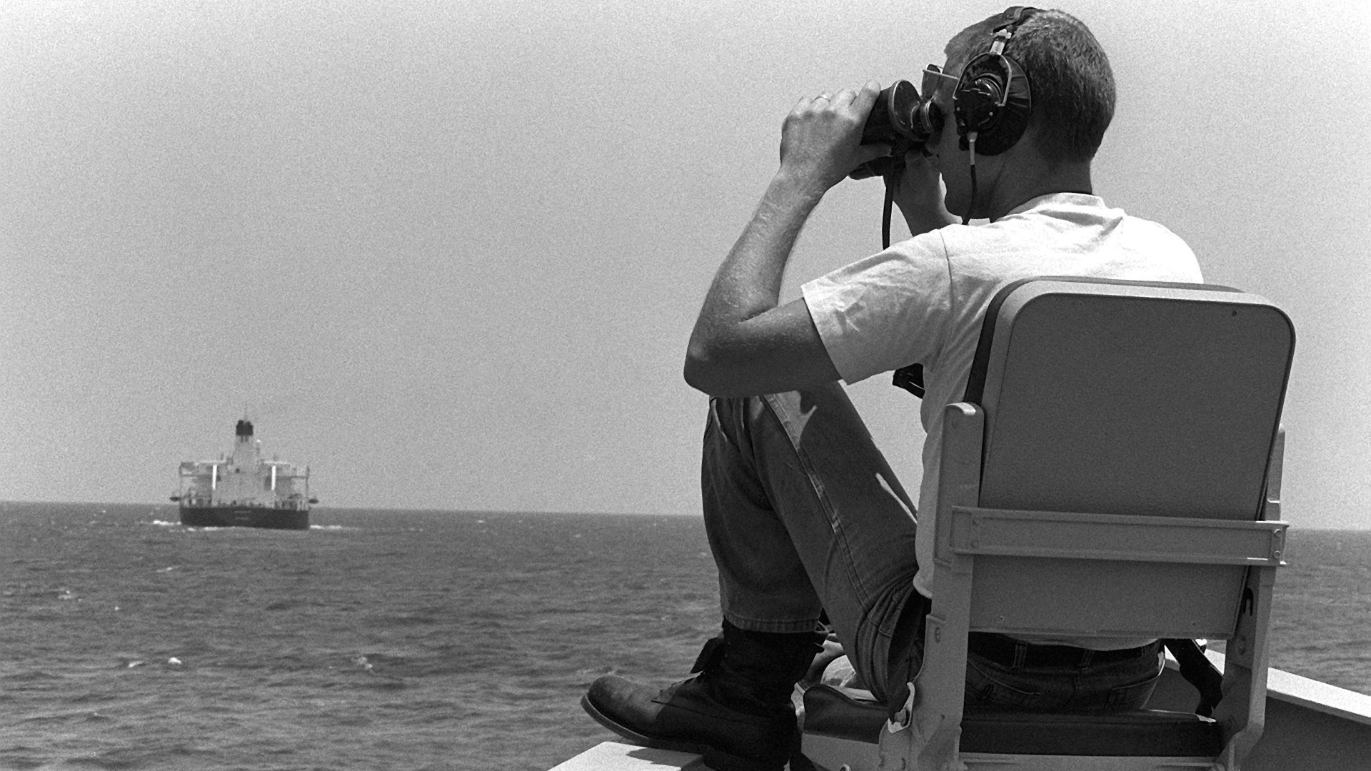
Between 1984 and 1988, both Iraq and Iran targeted commercial oil tankers and merchant vessels across the Gulf. Under Operation Earnest Will, the United States reflagged 11 Kuwaiti tankers with American stars and stripes and escorted them through the Strait of Hormuz.
©Wikimedia / U.S. Navy
6. Transit Passage Protects International Navigation
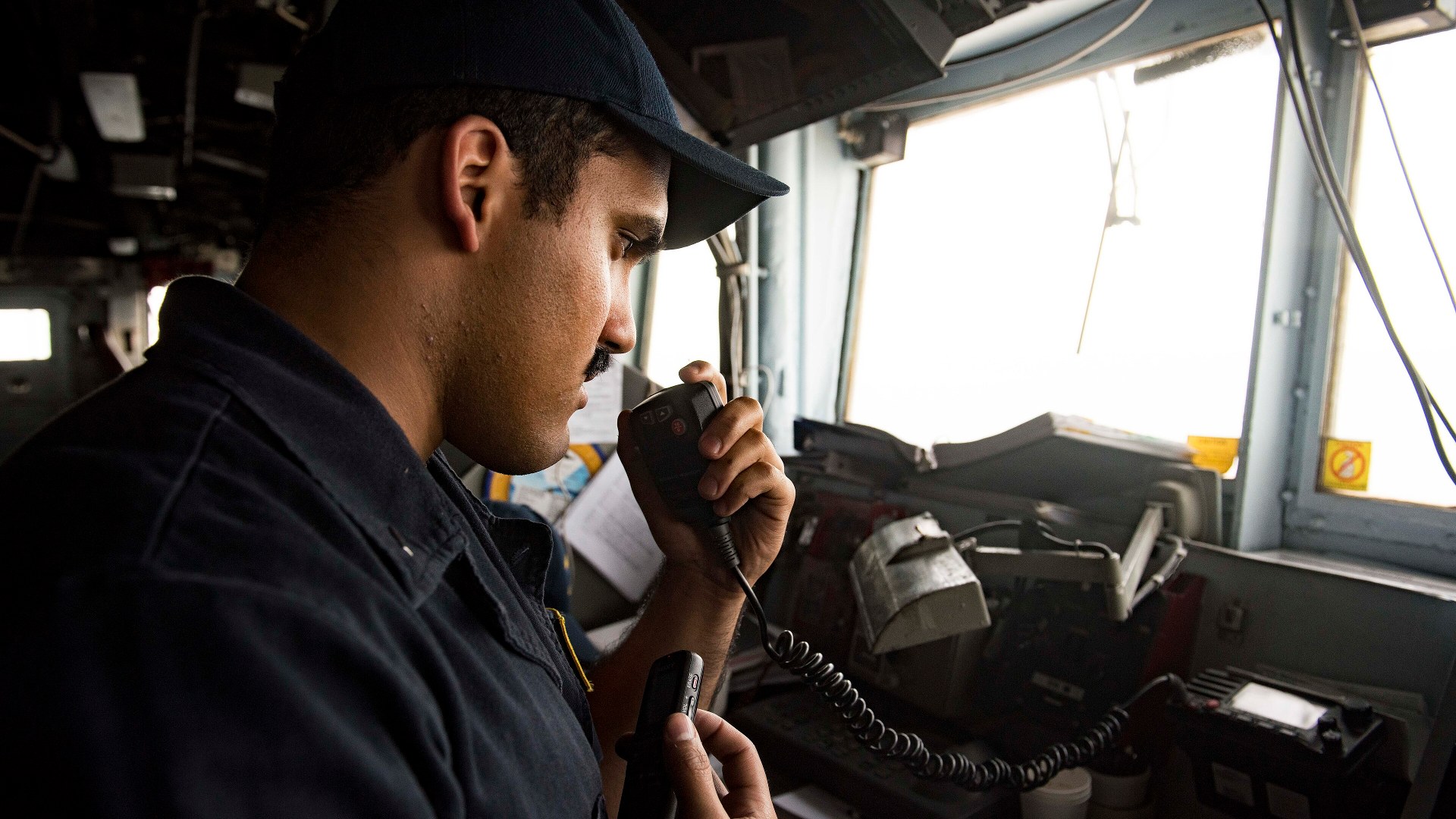
At 21 nautical miles wide, the Strait of Hormuz contains no high-seas strip outside the 12-nautical-mile territorial claims of Iran and Oman. Under the UN Convention on the Law of the Sea, commercial ships and warships rely on the right of continuous, unobstructed transit passage.
©Wikimedia / U.S. Navy
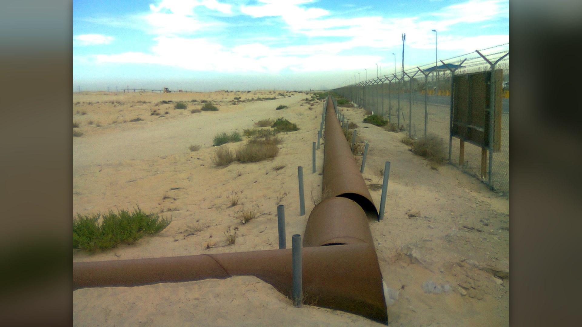
5. Only Two Overland Pipelines Can Bypass The Strait
Only two major operational pipelines allow Gulf oil producers to bypass the Strait of Hormuz. Saudi Arabia's 746-mile Petroline carries crude west to the Red Sea port of Yanbu, while the UAE's Habshan-Fujairah pipeline pumps oil over the Hajar Mountains directly to the Gulf of Oman.
©Wikimedia / Suresh Babunair
Advertisement
Swipe or tap ▶ to resume the countdown.
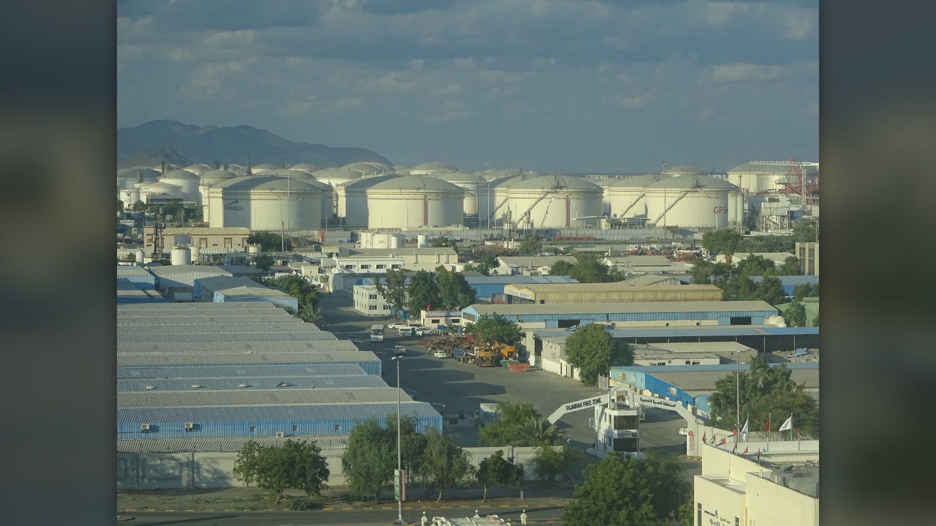
4. Fujairah Port Sits Just Outside The Chokepoint
Because Fujairah is the only emirate in the UAE situated entirely on the Gulf of Oman coast outside the Strait of Hormuz, its port serves as a critical insurance valve. Supertankers anchor offshore to refuel and load up to 1.5 million barrels of piped Abu Dhabi crude daily.
©Wikimedia / Jpbowen
3. Over 80% Of Its Crude Oil Heads To Asian Markets
According to the U.S. Energy Information Administration, roughly 82 percent of all crude oil and condensate leaving the Strait of Hormuz travels east to Asia. China, India, Japan, and South Korea depend heavily on uninterrupted Gulf shipments to run their refineries.
©Wikimedia / Quintin Soloviev
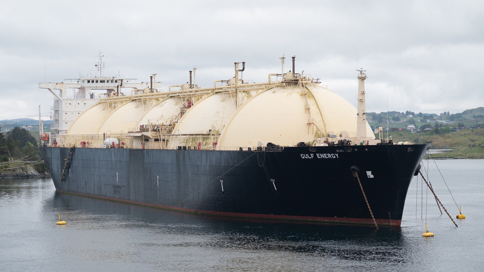
2. One-Fifth Of All Global LNG Passes Through Here
Unlike crude oil, liquefied natural gas from Qatar has zero pipeline bypass routes out of the Persian Gulf. Every single Qatari LNG carrier chilled to minus 260 degrees Fahrenheit must sail through the Strait of Hormuz, accounting for roughly 20 percent of global LNG trade.
©Wikimedia / Gordon Leggett
1. Two-Mile Shipping Lanes Carry 20% Of World Oil
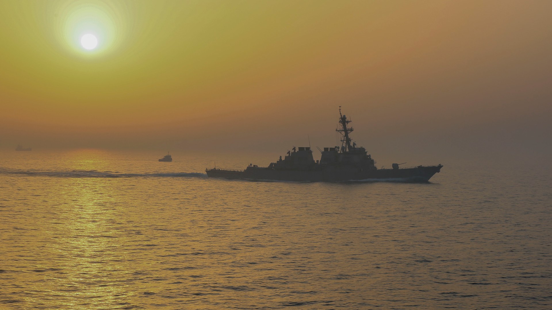
At its narrowest point, the Strait of Hormuz spans 21 nautical miles, but the navigable Traffic Separation Scheme is far tighter. Inbound and outbound tankers must stay inside two 2-mile-wide lanes separated by a 2-mile buffer zone while carrying 21 million barrels of oil a day.

©Wikimedia / U.S. Navy - Official Navy Page
Advertisement
You've reached the end of the story. Thanks for reading!

20 Iconic Historical Photos and the Archive Clues Behind Them
Contact sheets, cracked glass plates, and NASA mission logs preserve the hidden steps behind 20 famous photographs. Drawing on records from the Library of Congress, the National Archives, NASA, and the Smithsonian, this countdown traces how cropping, camera setups, and double exposures shaped each frame.
All 15 Entries in this Story
15. Named After The Medieval Kingdom Of Hormuz
The waterway takes its name from Hormuz Island, an iron-rich salt dome off Iran's southern coast known for its crimson ochre cliffs. From the 11th to the 17th centuries, the Kingdom of Ormus controlled merchant ships moving silk, horses, and pearls between India and Persia.

14. Qeshm Island Stretches 84 Miles Along The Channel
Shaped like a dolphin swimming toward Oman, Iran's Qeshm Island covers 576 square miles right inside the northern curve of the strait. Its UNESCO Global Geopark features salt caves, eroded sandstone canyons, and coastal Hara forests fed by warm tidal currents.

13. Oman Controls The Southern Shore From An Exclave
Many maps make it look like the United Arab Emirates borders the southern edge of the strait, but the tip actually belongs to Oman's Musandam Governorate. Nicknamed the Norway of Arabia, its flooded limestone valleys rise 6,000 feet directly above passing oil tankers.

12. Deep Southern Waters Fit The Largest Supertankers
Very Large Crude Carriers hold up to 2 million barrels of oil and draw nearly 75 feet of water beneath their hulls. Because the northern waters near Iran are relatively shallow, deep-draft supertankers must hug the deeper trench along Oman's Musandam coast.

11. Crowded Waters Caused A 2009 Submarine Collision
With dozens of merchant vessels, warships, and fishing dhows funneling through a tight corridor, underwater acoustics are notoriously noisy. On March 20, 2009, the attack submarine USS Hartford collided with USS New Orleans in the strait, tearing the sub's sail and spilling fuel.

10. Bandar Abbas Anchors The Northern Coastline
Founded by Shah Abbas I in 1622 after expelling Portuguese forces from Hormuz Island, Bandar Abbas handles around 85 percent of Iran's maritime container trade. Its Shahid Rajaee port complex and adjacent naval docks overlook the main shipping approach into the Gulf.

9. Three Strategic Islands Guard The Western Approach
Every ship entering or leaving the Strait of Hormuz passes near Abu Musa and the Greater and Lesser Tunb islands. Administered by Iran since 1971 and also claimed by the United Arab Emirates, these small islands command direct radar and visual lines over both shipping lanes.

8. Site Of The Largest Modern Surface Naval Battle
On April 18, 1988, the U.S. Navy launched Operation Praying Mantis in and around the Strait of Hormuz. The one-day battle became the largest American surface naval engagement since World War II and marked the first time U.S. warships exchanged surface-to-surface missile fire.

7. The 1980s Tanker War Reflagged Kuwaiti Oil Fleets
Between 1984 and 1988, both Iraq and Iran targeted commercial oil tankers and merchant vessels across the Gulf. Under Operation Earnest Will, the United States reflagged 11 Kuwaiti tankers with American stars and stripes and escorted them through the Strait of Hormuz.

6. Transit Passage Protects International Navigation
At 21 nautical miles wide, the Strait of Hormuz contains no high-seas strip outside the 12-nautical-mile territorial claims of Iran and Oman. Under the UN Convention on the Law of the Sea, commercial ships and warships rely on the right of continuous, unobstructed transit passage.

5. Only Two Overland Pipelines Can Bypass The Strait
Only two major operational pipelines allow Gulf oil producers to bypass the Strait of Hormuz. Saudi Arabia's 746-mile Petroline carries crude west to the Red Sea port of Yanbu, while the UAE's Habshan-Fujairah pipeline pumps oil over the Hajar Mountains directly to the Gulf of Oman.

4. Fujairah Port Sits Just Outside The Chokepoint
Because Fujairah is the only emirate in the UAE situated entirely on the Gulf of Oman coast outside the Strait of Hormuz, its port serves as a critical insurance valve. Supertankers anchor offshore to refuel and load up to 1.5 million barrels of piped Abu Dhabi crude daily.

3. Over 80% Of Its Crude Oil Heads To Asian Markets
According to the U.S. Energy Information Administration, roughly 82 percent of all crude oil and condensate leaving the Strait of Hormuz travels east to Asia. China, India, Japan, and South Korea depend heavily on uninterrupted Gulf shipments to run their refineries.

2. One-Fifth Of All Global LNG Passes Through Here
Unlike crude oil, liquefied natural gas from Qatar has zero pipeline bypass routes out of the Persian Gulf. Every single Qatari LNG carrier chilled to minus 260 degrees Fahrenheit must sail through the Strait of Hormuz, accounting for roughly 20 percent of global LNG trade.

1. Two-Mile Shipping Lanes Carry 20% Of World Oil
At its narrowest point, the Strait of Hormuz spans 21 nautical miles, but the navigable Traffic Separation Scheme is far tighter. Inbound and outbound tankers must stay inside two 2-mile-wide lanes separated by a 2-mile buffer zone while carrying 21 million barrels of oil a day.